USA
CANADA
IRELAND
UAE
UK
Canada
Ireland
Gain a sharper perspective on how drone technology can help your business take flight.
TL;DR Drone power washing services offer a safer and faster alternative to traditional exterior cleaning by removing the need for...
TL;DR Drone land survey services provide faster, safer, and highly accurate data for construction, real estate, and infrastructure projects, making...
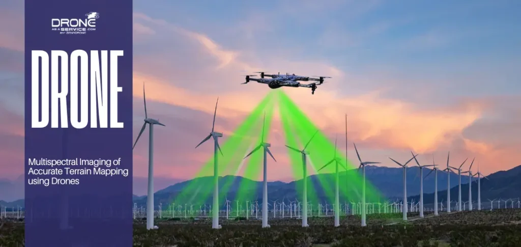
TL;DR Multispectral imaging uses advanced sensors on drones to capture terrain data beyond visible light, improving mapping accuracy. It helps...
TL; DR Hiring the right agriculture drone spraying service can greatly impact your yield, chemical efficiency, and overall farming operation....
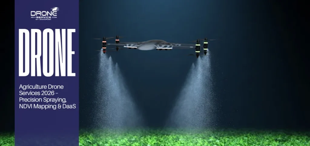
TL;DR This guide explains everything you need to know about agriculture drone services in 2026 & beyond including precision crop...
TL;DR Organizations must evaluate Drone as a Service (DaaS) bundles beyond hardware, including compliance, training, scalability, and data governance to...
Please tell us about your project and we’ll get right back to you.
Thank you for your message.
One of our team members will contact you shortly.