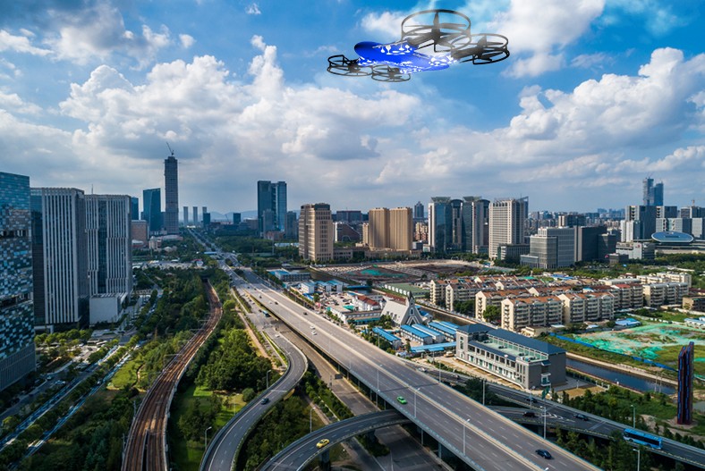
Smarter City Planning with Drones Innovative Aerial Insights
Accuracy and precision
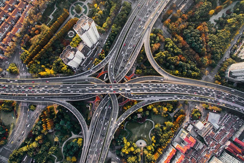
Urban planning using Zenadrone100 drones optimizes accuracy and precision through its stabilized flight pattern. The latest urban drones can provide an accurate and high-resolution bird’ s-eye view that urban planners can utilize in their planning process.
Flexibility
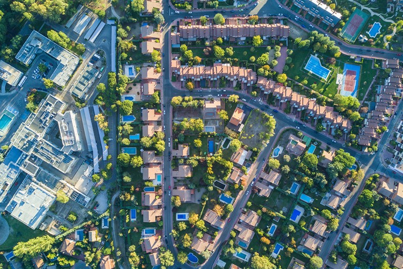
The use of drones in urban planning is also a versatile tool that is suitable for various urban landscapes, whether it be residential, commercial, or a typical cityscape. It can reach even the inaccessible terrain or rooftops, which is a flexibility only Zenadrone1000 can provide.
Speed
Drones in urban planning make the job faster and easier by covering considerable areas in minutes. With their automated flight plans, you can even fly multiple drones simultaneously, saving time and effort. It’s a game changer for urban planners always racing against time to deliver efficient community development.
Enhanced safety
Urban Planning Drone Services bring a new level of safety to city planning by navigating hazardous areas without harming personnel. They can efficiently inspect buildings and infrastructure, quickly identify safety hazards, and minimize worker risks and liabilities, ensuring a more innovative and safer planning process.
Reduced costs
Drones, or UAVs, offer a cost-effective solution for city planning by replacing expensive traditional methods like renting helicopters or planes. Their affordability makes advanced aerial data collection more accessible and budget-friendly.
Public engagement
Drone-as-a-Service (DaaS) captures stunning images and videos of proposed developments, perfect for sharing through social media or other platforms. This fosters public involvement, encourages feedback and collaboration, and ultimately leads to smarter, more inclusive urban planning decisions.