Revolutionize Inspections with Drone Technology
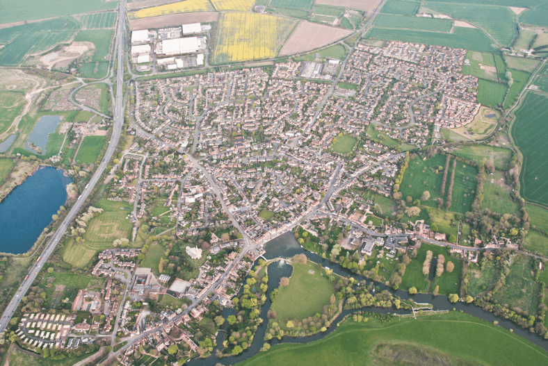
Aerial Mapping and Survey
With Drone as a Service, topographic surveying can be more accessible through multispectral sensors and high-quality cameras. The drone sensors can capture aerial data with their RGB camera and LIDAR payloads. Drone surveying allows industries to take crisp and clear footage of the area. With drone technology, users can snap site photos to get different angles and produce images with tagged coordinates.
Aerial mapping with drone technology generates more well-defined and accurate data as it can fly at much lower altitudes. Surveying and mapping with drones can also be much faster than traditional methods. Also, it is much more cost-efficient than renting a helicopter or satellite imaging which is also not accessible at any time.
Solar Panel Inspection
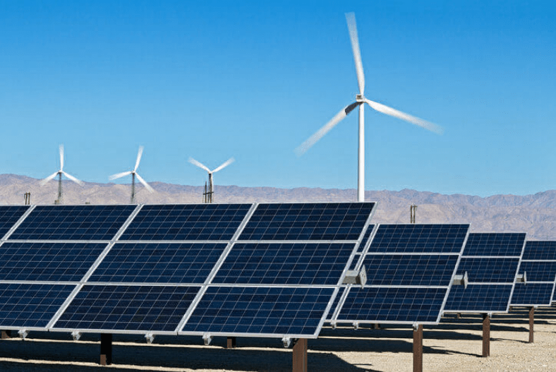
It is essential to conduct regular monitoring and inspection of solar panel plants to keep up with their performance. Drone technology enables the solar industry to save time and ensure safety during the assessment. Instead of manually examining the solar panel systems and sending your staff to difficult conditions, the drone can substitute these tasks, reduce risks, and speed up the inspection process.
As solar farms consist of a wide range of areas composed of hundreds of panels, it becomes laborious and inefficient to inspect it one-by-one. So instead of hiring more people to do it, drone technology can examine it with its high-quality sensors, mapping features, and thermal cameras. It provides comprehensive visibility that assists business leaders in gaining in-depth information on the site.
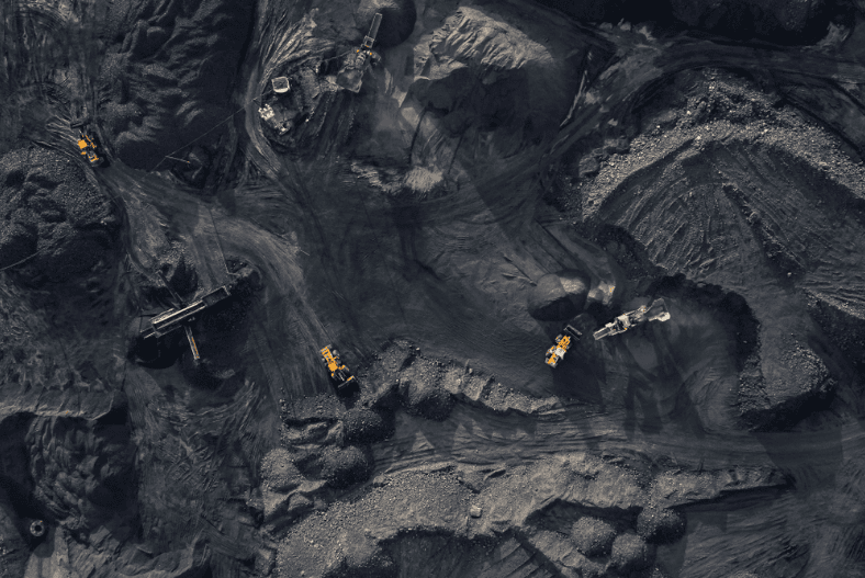
Mining, Quarries, and Aggregates
Land surveying and inspection can be more efficient with UAV machine learning assessments. For mining, construction, property management, or industrial zoning, drones gather more specific aerial data about the land surface. It has advanced field scanning features that determine location, measurement, and distance. Its 4k quality camera and multispectral sensors can ensure well-detailed imaging and information.
Drone inspection makes mining surveys, terrain mapping, aerial surveying, stockpile estimation, and land surveillance more accessible, faster, and more accurate. Assessment with the help of drone service is also cost-efficient. At the same time, it assures excellent imaging that helps in the process of industries’ output.
DAAS for UAV Inspections Using the ZenaDrone 1000
DAAS is a drone technology service provider capable of reaching remote, challenging, and dangerous areas for inspections. It is easy to deploy, whether through automated or remote-controlled flight. DAAS can inspect indoors, vast lands, or offshore sites and objects.
Here are some of the benefits of drones in aerial inspection:
- Accessible and faster overlook and assessment of hard-to-reach areas
- Enhance the productivity by regular inspection
- Lessen the hazard risk with drone substituting workers to see danger-prone areas
- Produced high-quality and well-defined footage
- Having a qualified and authorized UAV-inspection personnel
- Time-efficient inspection
With DAAS, aerial monitoring, land surveying, 3D scanning for land surface, and other geographic surveying are possible. It supports different industries ensuring an international quality of drone service.
Cost-Effective and Better Surveys with DAAS
The DAAS features a pre-planned drone flight route where users can make drone inspections automatically. The drone technology can autonomously take the flight and land safely on its own. Hence, it saves time and cost for the inspection process. While it also assures more accurate and high-quality imaging, the industry can have better surveying. Thus, businesses and consumers gain an efficient return in investing in drone services.
ZENADRONE 1000:
SMART AI DRONE THAT’S BUILT TO LAST
Advanced intelligence
Record mission actions such as aircraft movement, zoom level, and gimbal orientation to create sample files for automated inspections.
Enhanced Flight Performance
The drone’s advanced airframe and propulsion system provides a more efficient and stable flight, even in harsh conditions.
Multiple Payload Configurations
Configure your drone to fit your mission’s needs and mount up to a 2.7-kilogram payload capacity.