Drones for the Renewable Energy Sector
High-Quality and Detailed Imaging
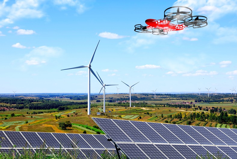
Use a drone for renewable energy farm inspection and assessment. High-quality cameras with multispectral sensors can produce detailed imagery, aiding technicians in understanding what needs repair and maintenance. Manage, operate, and evaluate with comprehensive visual data.
Advanced Site Assessments
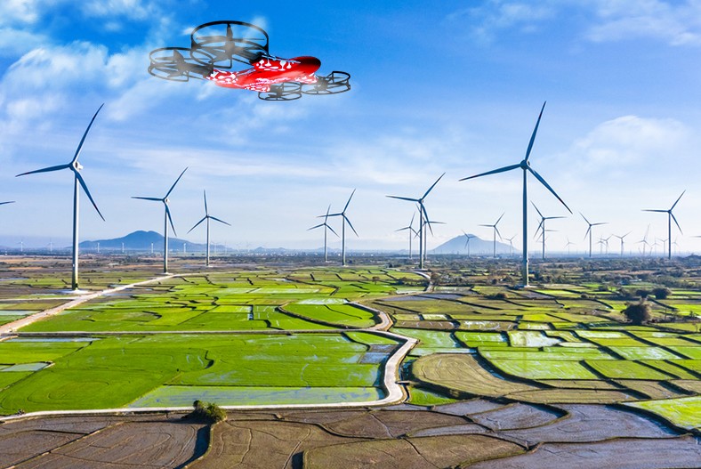
Solar and wind sources require accurate terrain. A drone used for renewable energy farms can help with 3D mapping, making it easier with real-time ground survey data. It makes efficient operations for engineers designing panels and turbines.


Effective Maintenance
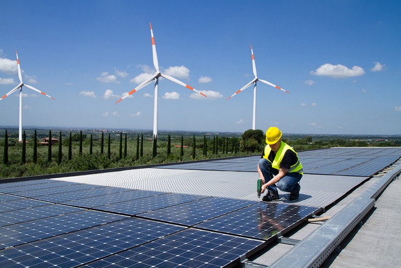
With the best drone for the renewable energy industry, it can ensure meticulous results with 3D mapping integration. Allowing ground teams and human resources to streamline maintenance operations. And make regular and quick surveying and scanning work.
Reliable Weather Prediction
Drone services can include weather forecasting. Multispectral sensors can provide accurate data that technicians and maintenance teams can use. A reliable prediction helps them choose favorable days to repair solar panels and wind turbines.
Risk Reduction and Management
A drone used on renewable energy farms can lessen operational risks. Cameras can oversee the site and immediately detect damage, reducing the chances of accidents. With this enhanced operation, power companies can also ensure compliance with government regulations.
Efficient Resource Utilization
AI integration allows drones to make automated flights, helping site maintenance managers scale current and future operations. Meanwhile, third-party app integration can improve real-time data. Transparency and collaborative analytics can ensure cost-effective operations.

