Transform Projects with Precision 3D Mapping
Advanced 3D Scanning with Drones
3D scanning is essential for real-time site visualization for various industries like architecture, construction, mining, land surveying, etc. The 3D laser scanning drone can capture the view and automate the data to generate a high-quality 3D model with comprehensive information.
Efficient Site Surveying
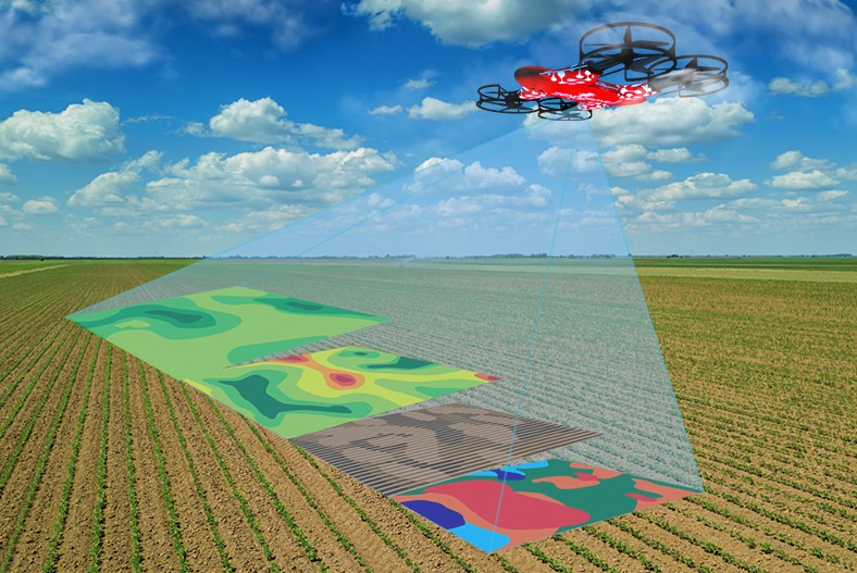
With 3D drone scanning services, industries that involve surveying vast land and hard-to-reach areas can aid in measuring accurately. It can assist in calculating volume measurement and is accessible in capturing detailed pre-bid tops. In addition, it allows industries to develop 3D site models that will assist clients with visualizing the project.


Cost-Effective Scanning
Manually formulating 3D scan models can be costly. Companies that offer drone services can make 3D scanning drones perform scanning and data collection without the need for hired crewed aircraft or investing in an additional workforce. Hence, reducing human resources while ensuring a high-quality imaging result.
Accessible and Less Disruption
Using 3D scanning drones for site scanning allows surveyors to access locations that are hard to reach. If the site has unknown terrain, deploying a drone to scan the area can lessen the risk. Also, 3D drone scanning service is much more accessible than satellite imaging or helicopter renting.
Effective Progress Tracking
Utilizing 3D laser scan drones also helps industries monitor their projects’ progress. Businesses that involve large-scale buildings and infrastructures need a regular update on the project operations. With drone-as-a-service, it serves as an aid in visualizing the progress between the 3D image data and the design files. Hence, evaluating the development can be more effective than ever.
Produce High-Quality Results
The 3D drone scanning supports the production of high-quality 3D models. The 4k camera and its multispectral sensors can produce high-quality videos and detailed imaging. It can also capture different angles while being perfectly stabilized. Drones can make any task faster, cost-wise, and more accurate in data points, guaranteeing an excellent result.

