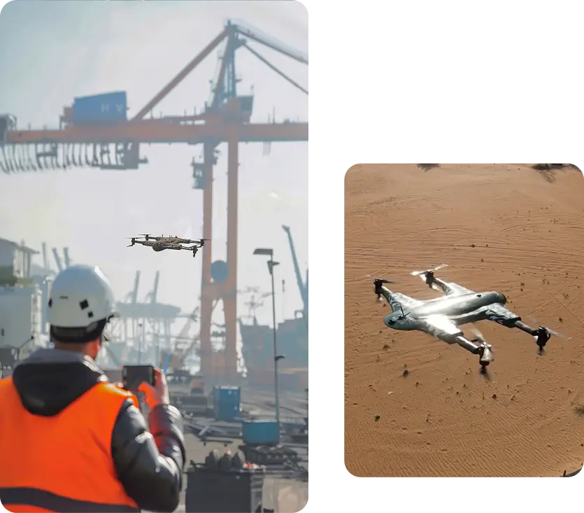
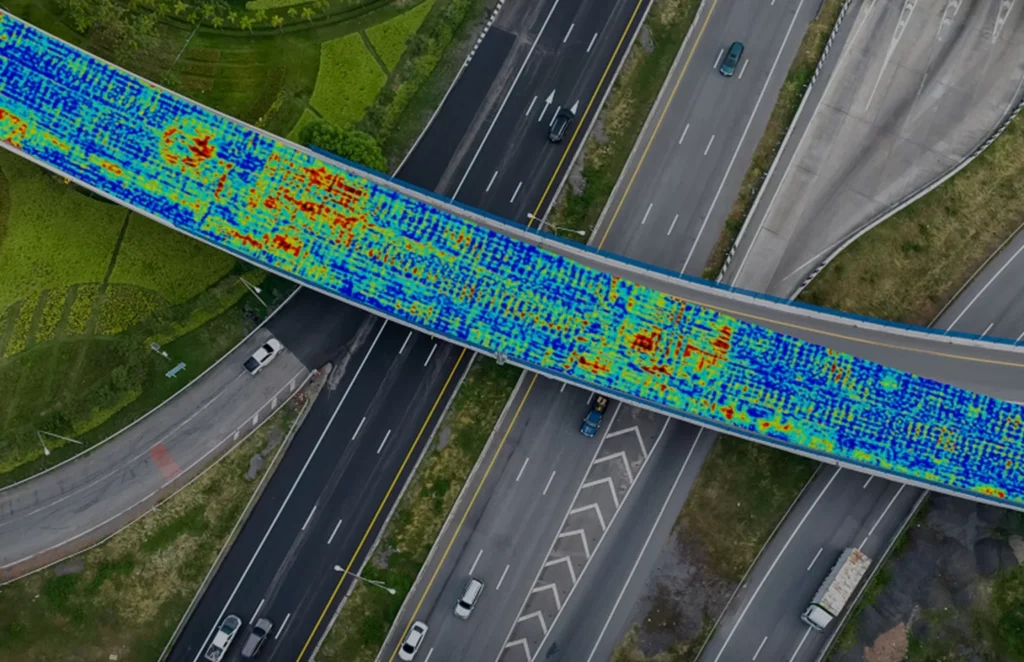
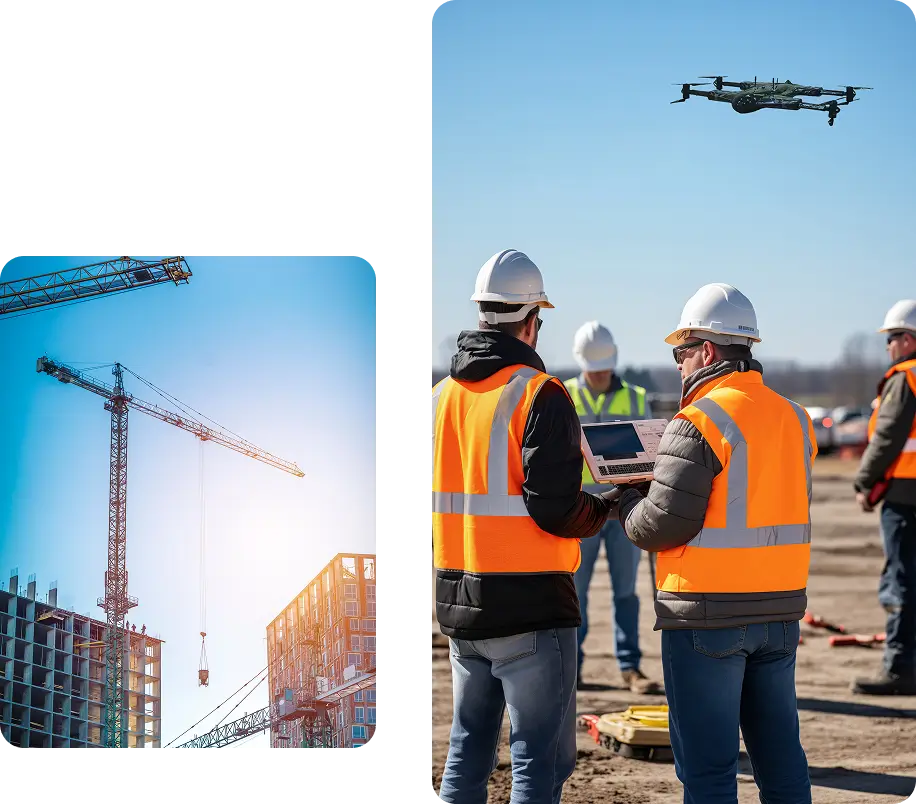
Drone as a Service is transforming the construction industry, delivering the data accuracy required to optimize planning, improve efficiency, and enhance safety. Our aerial intelligence supports every stage of a project, from planning to completion.
Services Offered in Ireland
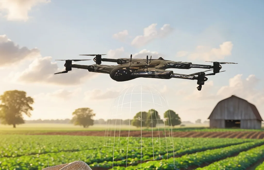
Agriculture & Farm Operations
Precision crop monitoring, livestock health tracking, grassland analysis, and spraying services, designed for Irish farms and seasonal conditions.
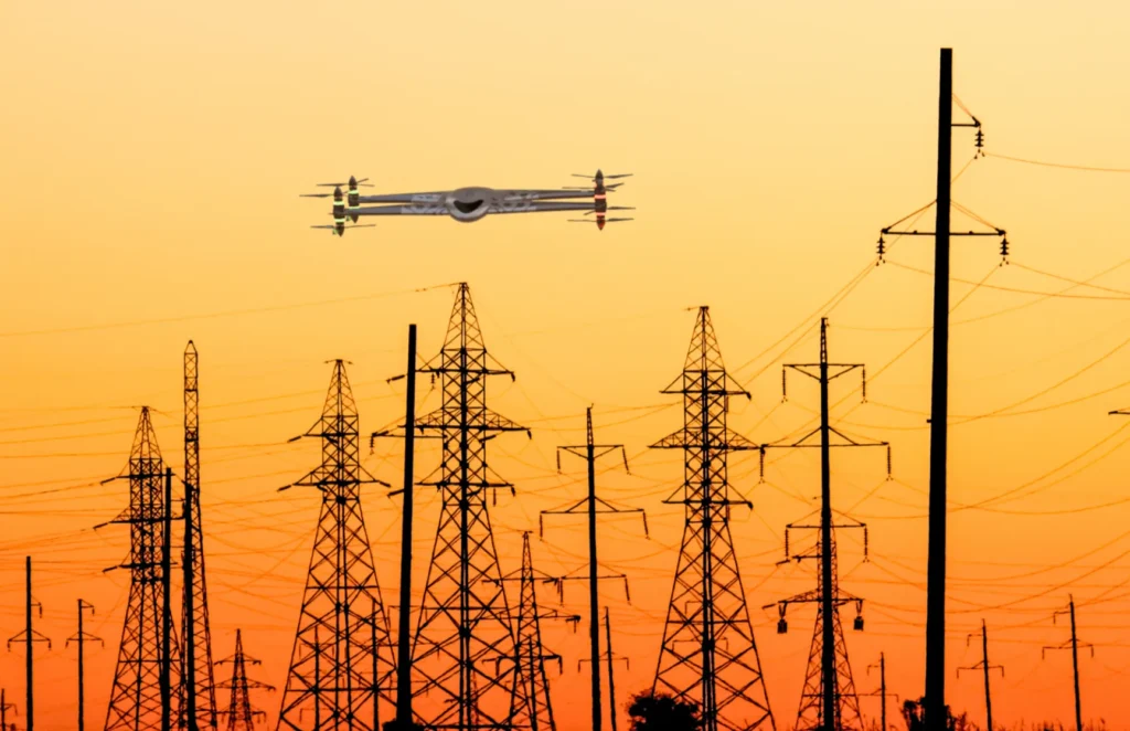
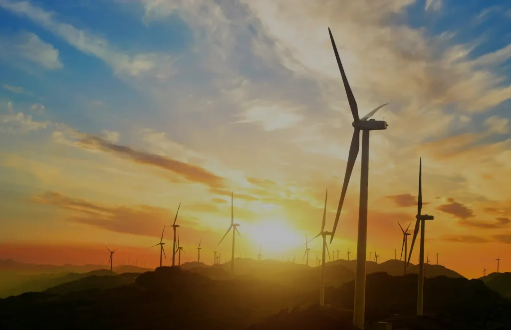
Wind, solar, and hydro asset inspections using high-resolution and thermal imagery, helping Ireland’s renewable sector maintain performance and compliance.