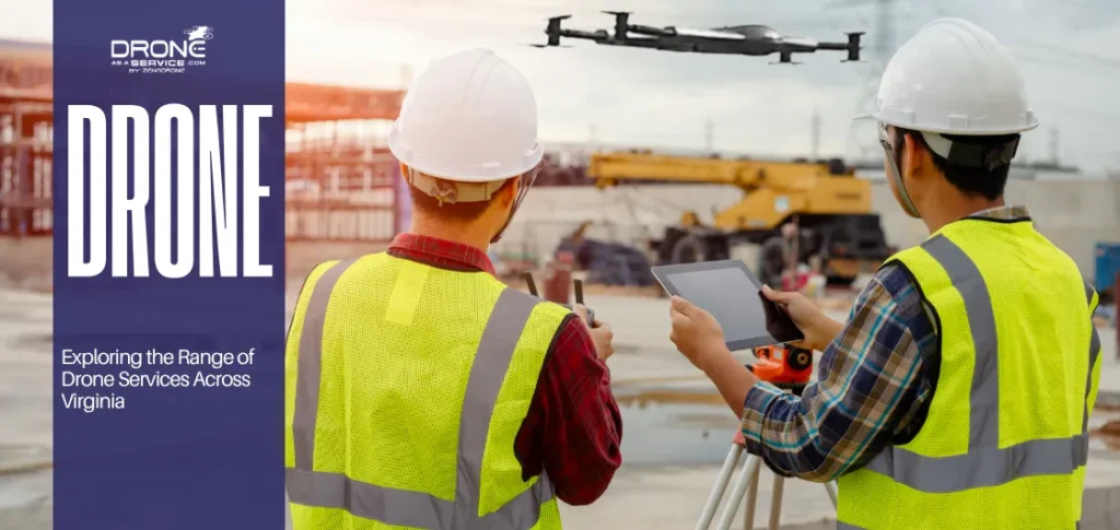
TL;DR Drone services in Virginia provide accurate aerial data for surveying, mapping, and infrastructure inspection. Industries use drones for planning,...
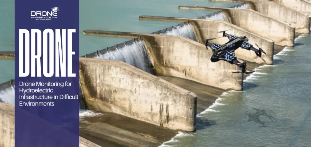
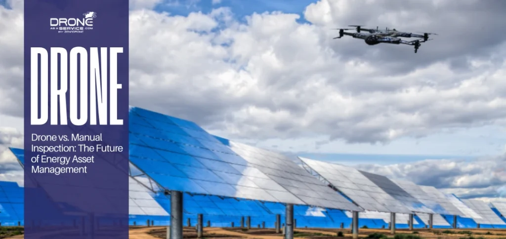
The rapid expansion of renewable energy infrastructure—spanning vast solar arrays, offshore wind turbines, and hydroelectric facilities—has necessitated more robust maintenance...
TL;DR Drone thermal roof inspections detect hidden moisture, insulation gaps, and structural issues that traditional inspections often miss. Infrared imaging...