Ireland – Agriculture
Elevate What’s Possible
Services Offered in Ireland
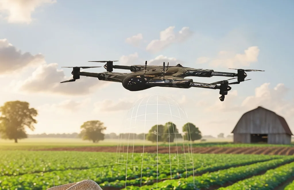
Agriculture & Farm Operations
Precision crop monitoring, livestock health tracking, grassland analysis, and spraying services, designed for Irish farms and seasonal conditions.
Construction
Accurate aerial mapping, volume measurements, and site progress updates to streamline projects and improve safety on construction sites nationwide.
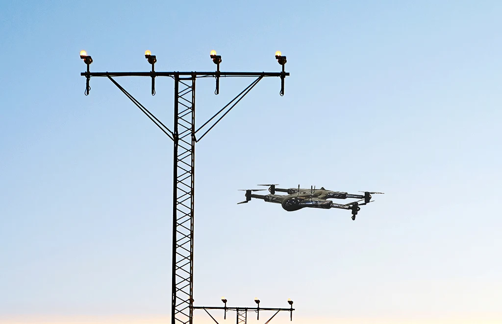
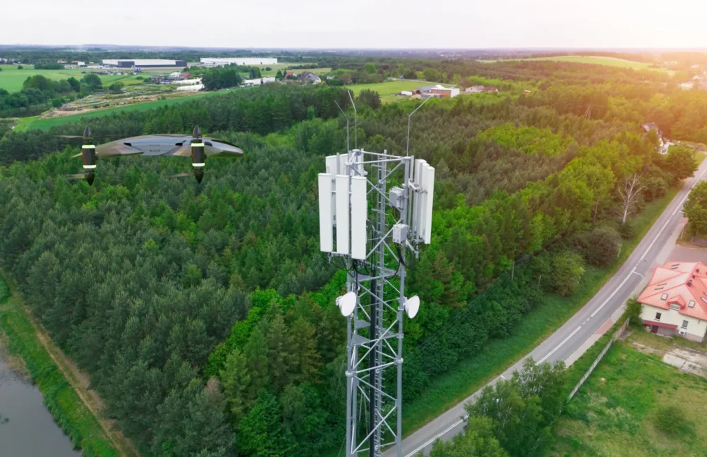
Telecom & Power Inspections
Detailed imaging and data for tower inspections, equipment audits, and power network assessments, improving efficiency and reducing risk.
Renewable Energy Asset Inspection
Wind, solar, and hydro asset inspections using high-resolution and thermal imagery, helping Ireland’s renewable sector maintain performance and compliance.
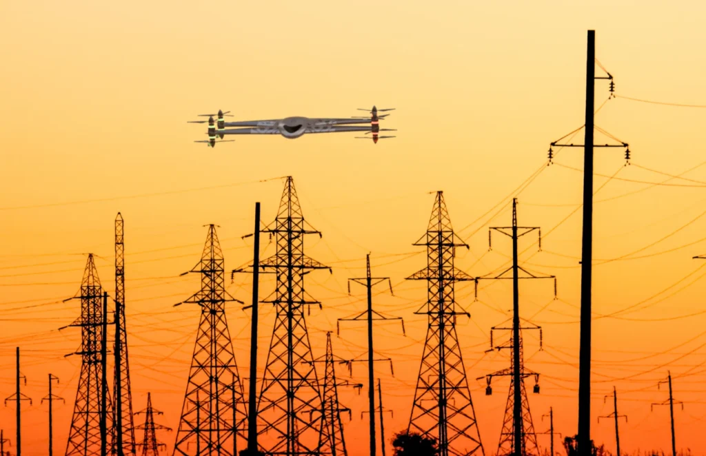
Power Line & Utility Inspections
Comprehensive aerial inspections of overhead lines, substations, and critical infrastructure, detecting faults before they cause downtime.
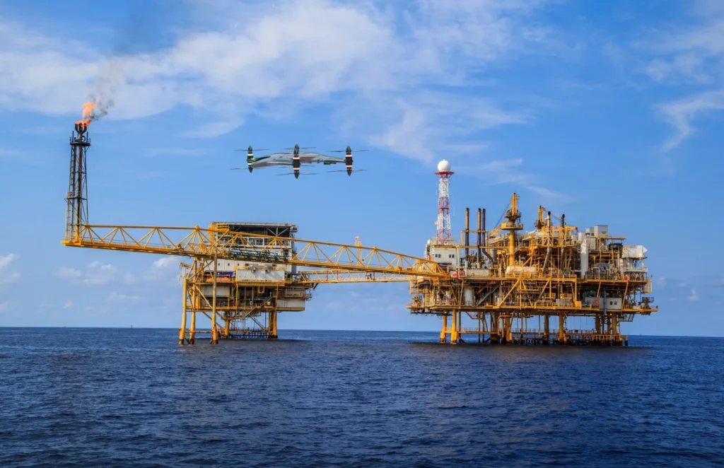
Oil & Gas Pipeline Monitoring
Routine aerial monitoring for leaks, encroachment, and environmental risk, providing safe, efficient inspection for Ireland’s energy network.
Network Planning & Asset Auditing
Accurate mapping and imaging for network expansion, asset documentation, and infrastructure audits, all backed by precise geo-referenced data.
Power Line & Utility Inspections
Comprehensive aerial inspections of overhead lines, substations, and critical infrastructure, detecting faults before they cause downtime.
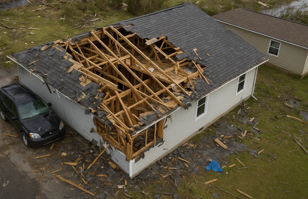
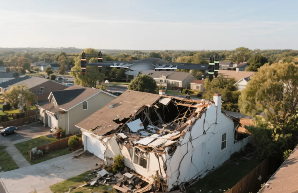
1. Claims Assessment & Damage Inspection
Use Case: Post-event evaluation of property, auto, or infrastructure damage
- Faster response after natural disasters (storms, floods, fires)
- High-resolution imagery of rooftops, buildings, and inaccessible areas
- Reduces the need for human adjusters to enter dangerous environments
- Enables remote assessments, speeding up claims approval
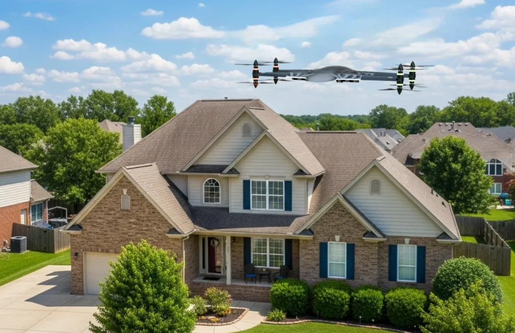
2. Underwriting & Risk Assessment
Use Case: Pre-policy inspections to evaluate insured assets
- Accurate visual data of properties (roofs, exteriors, structures)
- Identifies existing damage or risks (e.g., overhanging trees, poor drainage)
- Improves pricing models with better data
- Helps insurers validate applicant information
3. Inventory & Asset Monitoring
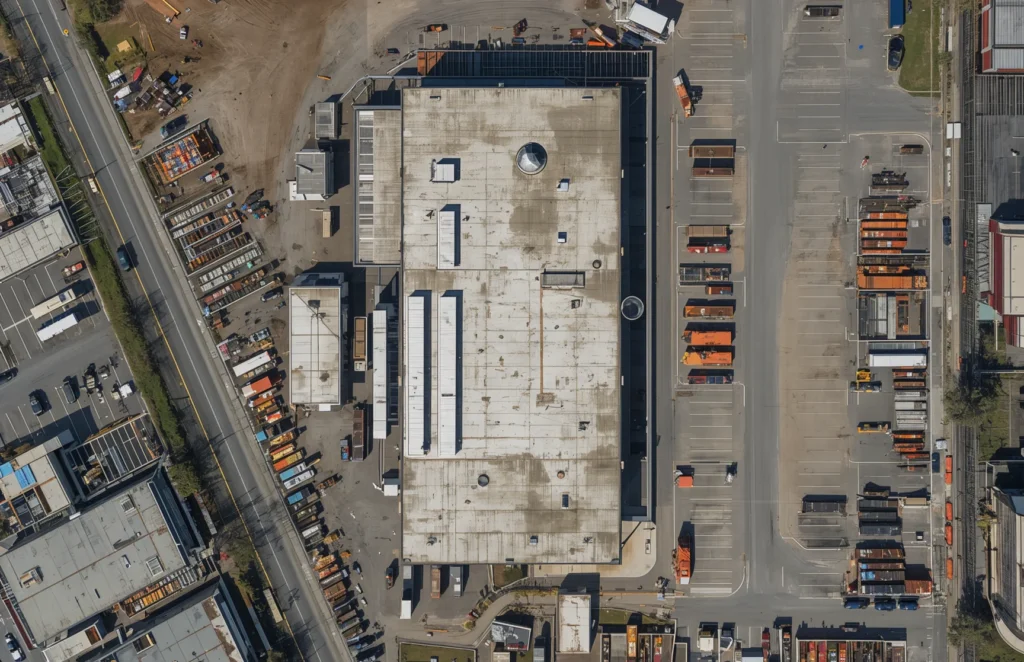
Use Case: Large commercial or industrial site evaluations
- Aerial views of warehouses, storage yards, and construction sites
- Monitors asset movement or deterioration over time
- Supports commercial insurance for large assets or fleets
4. Catastrophe (CAT) Response
Use Case: Rapid response to hurricanes, earthquakes, floods, wildfires
- Quickly assess widespread damage across neighborhoods or regions
- Supports early FEMA or government claims
- Helps triage which policyholders need urgent attention

5. Fraud Detection
Use Case: Verifying legitimacy of claims
Benefits:
- Drones can detect inconsistencies in claimed vs. actual damage
- Provides time-stamped aerial footage as unbiased evidence
- Reduces false claims and fraud-related costs
6. Portfolio Risk Management
Use Case: Monitoring high-risk areas in the insurer’s portfolio
- Geographic risk visualization (e.g., flood zones, wildfire-prone regions)
- Predictive analytics based on imagery over time
- Helps with reinsurance and risk modeling
- Reduces time and cost of manual inspections
- Minimizes human risk (no need for ladders or dangerous access)
- Improves claim cycle time and customer satisfaction
- Centralized data collection for AI/ML analysis


Operational Benefits:
- Reduces time and cost of manual inspections
- Minimizes human risk (no need for ladders or dangerous access)
- Improves claim cycle time and customer satisfaction
- Centralized data collection for AI/ML analysis
Bringing Aerial Intelligence to Irish Agriculture
with Drone Farming Technology
At Drone as a Service (DaaS), we provide a complete, farm-ready drone solution for Irish agriculture, combining innovation and precision. We supply the hardware, the software, and perform the flight operations and data analysis ourselves.
That means you get actionable insights, not just raw data. Our services are fully flexible and tailored to the Irish farming calendar and supporting year-round precision agriculture in Ireland whether you need crop monitoring once a season or weekly livestock checks during calving. As the seasons change, we adjust flight frequency and focus, from crop health in early growth, to grassland management mid-summer, to infrastructure and damage checks after storms.
Using the latest agriculture drone technology, DaaS helps Irish farmers reduce costs, improve yields, and enhance farm efficiency in Ireland. From the plains of Kildare to the dairy farms of Cork and the grasslands of Galway, we deliver smarter, faster, and more sustainable farming solutions.
Drone as a Service – Precision Agriculture for Irish Farmers
Why Choose Drone As A Service (DaaS)?
Full-Service Provider
We supply drones, software, and the expert operators.
IAA-Certified Drone Pilots
Safe, compliant, and professional.
Ag-Tech Specialists on Staff
Experienced in Irish farming systems.
Fully Insured & Licensed
You’re protected for every operation.
Seasonal Flexibility
Adjust service frequency based on your farming calendar.
Fast Data Delivery
Detailed reports in 48–72 hours.
Crop Health Monitoring
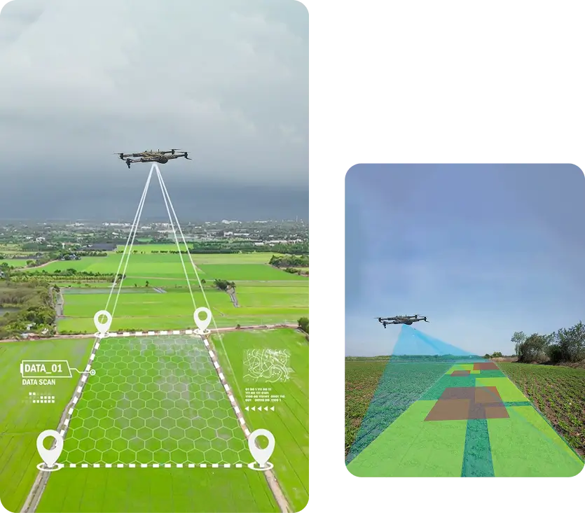
Our Crop Health Monitoring service provides farmers with fast, accurate insights into crop performance across every stage of the growing season. Using multispectral and thermal imaging, we help identify issues like nitrogen deficiency, water stress, and disease long before they’re visible on the ground.
How It Works
- Drones capture detailed aerial images of your crops, whether it’s barley in May, potatoes in June, or winter wheat in March.
- Software analyses vegetation indices (NDVI, NDRE) to pinpoint areas of stress or poor growth.
- Problem zones are mapped precisely so you can treat only what’s needed, not the entire field.
Benefits
- Spot nutrient deficiencies early and apply targeted treatments.
- Detect fungal infections (like blight or mildew) before they spread.
- Improve fertiliser efficiency and reduce input costs.
- Monitor and compare field performance throughout the season.
Precision Spraying (Coming Soon)
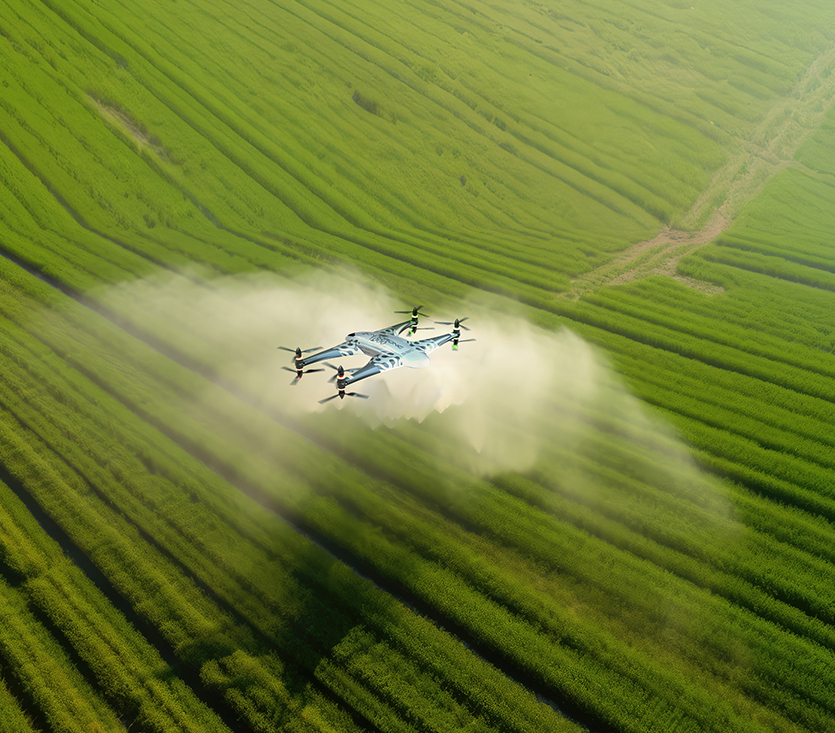
Our Precision Spraying service delivers exact chemical application with minimal waste. Whether it’s spot spraying thistles in grassland, targeting dock weeds in silage fields, or applying fungicide on cereals, we use GPS-guided drones to ensure high accuracy.
How It Works
- Drones follow precise flight paths programmed for your fields.
- Using variable-rate and spot-spray technology, they treat only affected areas, saving time and reducing chemical use.
- Every operation is tracked and logged for full traceability and compliance.
Benefits
- Save up to 30% on herbicide and pesticide use.
- Reduce soil compaction by avoiding heavy sprayers.
- Operate safely in wet or uneven ground where tractors can’t go.
- Minimise environmental impact.
Livestock Health Management
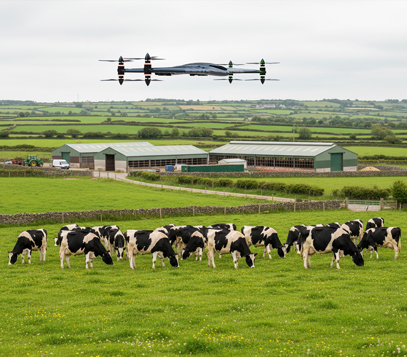
Managing livestock across large or rough terrain can be time-consuming.Our Livestock Health Management service combines thermal imaging and AI-based analytics to track animal health, numbers, and movement, perfect for Ireland’s diverse herds and hill farms.
How It Works
- Drones fly routine patrols over your herd or flock, capturing thermal and high-definition imagery.
- AI identifies animals and counts them automatically.
- Flags abnormal thermal readings (a sign of injury or illness).
- We provide a digital report highlighting missing, isolated, or distressed animals.
Benefits
- Detect sick or lame animals early, ideal for calving or lambing seasons.
- Ideal for stock checks on out farms and fragmented blocks of land.
- Monitor stock in large paddocks or rough ground without disturbing them.
- Reduce labour costs and inspection time.
- Improve welfare standards and compliance records.
Farm Maintenance
Every farm has ongoing maintenance needs, from buildings and sheds to roads, drains, and tanks. Our Farm Maintenance Check service provides detailed aerial inspections that help you spot problems early, improve safety, and plan maintenance efficiently.
How It Works
- Drones perform high-resolution mapping of farm buildings, roofs, gutters, and fencing.
- We detect leaks, structural damage, and storm wear using advanced imaging.
- Inspections also cover roads, yard areas, tanks, and drainage systems for cracks or blockages.
- Geo-tagged reports make it easy to prioritise repairs.
Benefits
- Identify and fix issues before they worsen.
- Keep workers safe, no ladders or scaffolding needed.
- Get detailed imagery for insurance or grant inspections.
- Assess road and yard damage after heavy rainfall or winter frost.
Grassland Management
Irish grasslands are among the most productive in Europe but managing them effectively takes precision. Our Grassland Management service helps farmers optimise grazing, monitor growth, and stay compliant with nitrates regulations, all through consistent, data-driven drone flights.
How It Works
- Drones capture high-resolution imagery to assess grass cover, density, and growth rates.
- Software calculates biomass, sward height and grass yields (kgDM per hectare).
- Identifies weeds in grasslands and can be spot sprayed with our precision spraying drones (coming soon).
- Consistent, scheduled flights (weekly, fortnightly, or monthly) track changes over time, giving you a clear picture of pasture performance.
Benefits
- Stay compliant with nitrates derogation and sustainability reporting.
- Plan grazing rotations and cutting schedules with confidence.
- Reduce overgrazing and identify underperforming paddocks.
- Support long-term pasture health.
Services Offered
Unlock the power of precision with our Drone as a Service solutions. From raw terrain to refined insights, our drone powered offerings accelerate every phase of your land development projects.
Agriculture & Farm Operations
Precision crop monitoring, livestock health tracking, grassland analysis, and spraying services, designed for Irish farms and seasonal conditions.
Construction
Accurate aerial mapping, volume measurements, and site progress updates to streamline projects and improve safety on construction sites nationwide.
Telecom & Power Inspections
Detailed imaging and data for tower inspections, equipment audits, and power network assessments, improving efficiency and reducing risk.
Renewable Energy Asset Inspection
Wind, solar, and hydro asset inspections using high-resolution and thermal imagery, helping Ireland’s renewable sector maintain performance and compliance.
Power Line & Utility Inspections
Comprehensive aerial inspections of overhead lines, substations, and critical infrastructure, detecting faults before they cause downtime.
Oil & Gas Pipeline Monitoring
Routine aerial monitoring for leaks, encroachment, and environmental risk, providing safe, efficient inspection for Ireland’s energy network.
Network Planning & Asset Auditing
Accurate mapping and imaging for network expansion, asset documentation, and infrastructure audits, all backed by precise geo-referenced data.
Power Line & Utility Inspections
Comprehensive aerial inspections of overhead lines, substations, and critical infrastructure, detecting faults before they cause downtime.
Get In Touch
Let’s elevate your operations.
Whether you’re curious about our drone solutions or ready to launch a project, our team is just a message away.


