Business Drones in 2026: Transforming Industries with Smart Aerial Services
Over the years, drone technology has become a vital tool for numerous industries. Companies and businesses are using drones to enhance their work efficiency.
This advanced solution, equipped with sensors, cameras, AI-driven data, and more, has been helping everyone, whether for commercial or recreational purposes. Over time, it has also proven its ability to deliver long-term ROI. So, are you ready to transform your operations? Learn more in this blog on how UAV inspection services can transform your business and streamline your operations.
Why Are Businesses Adopting Drones?
Business owners are adopting drones not just for the sake of new technology, but also as a strategic advantage.
Here are some of the reasons why drones are becoming a trend for business owners:
Cost Savings Vs. Traditional Methods
The UAV or drone commercial applications also deliver ROIs by cutting the delays of the project, lowering the insurance costs, and minimizing the manual labor.
Accuracy & Safety Improvements
The industrial drone solutions reduce risks by keeping crews safe and out of hazardous areas, such as infrastructure and power lines. Businesses also gain precise imaging and reliable data, with industrial drone solutions that avoid costly errors.
Sustainable Operations
Gathering aerial data via drone is a sustainable solution. Compared to renting a helicopter, it reduces emissions and fuel consumption. Businesses demonstrate commitment to sustainability by adopting aerial data acquisition services while improving efficiency in their operations.
AI & Automation for Predictive Insights
Drone-enabled surveying is paired with AI-powered drone analytics that ensure accurate maps, 3D models, and reports. Companies can see the risks and issues before they escalate their operations because of the drone-enabled surveying and AI-powered drone analytics, which help in saving resources and time before they arise.
Core Drone Technologies Behind Our Services | DaaS
For businesses, the real advantage of drones lies in the technology that powers them.
Here are some of the drone technologies that we offer, in DaaS, to give you the best experience with UAV services:
- 3D Scanning & Photogrammetry: With 3D scanning drone services, industries like construction can track their progress and also identify issues as early as possible, while being documented with precision that saves time and has been proven to be cost-effective. Businesses rely on 3D drone mapping to capture accurate site details for their operations.
- LiDAR & Terrain Modeling:UAV technology companies can obtain accurate LiDAR data for planning and development. The tools support elevation modeling drones that streamline surveying for mining operations, urban projects, and land development.
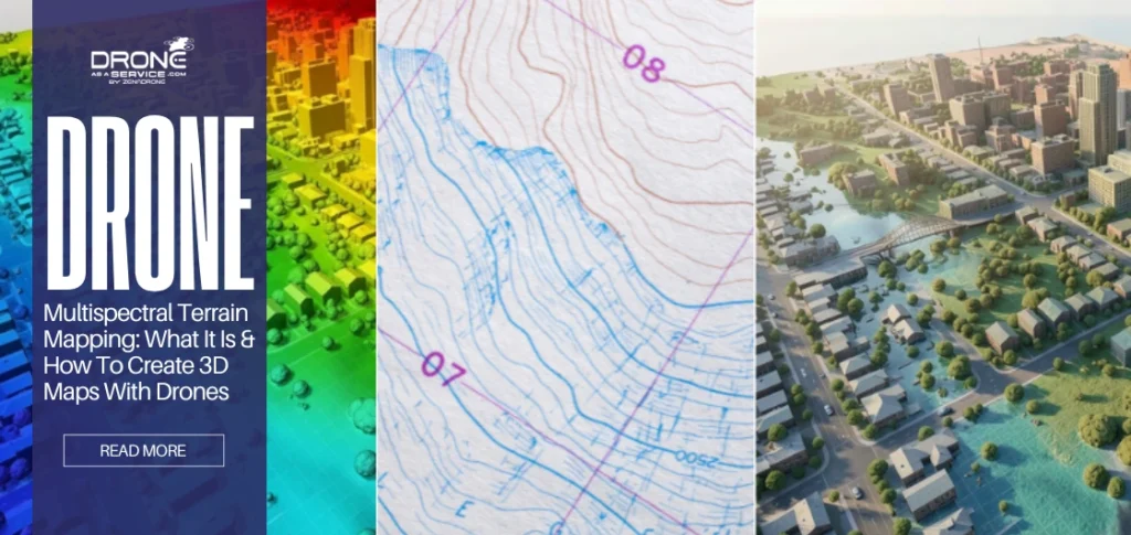
- Thermal & Multispectral Sensors: For the agriculture and energy industries, drones that have sensors are needed for their insights. Farmers using precision agriculture UAV solutions can monitor crop health with multispectral terrain analysis.
- AI & Predictive Analytics: This technological solution helps users convert their raw data into strategies. Deep learning of all those multispectral images will create predictive analytics, so users can address potential problems before they get worse.
- Cloud & GIS integration: With AI-enabled drone fleet coordination ensuring consistent data delivery, businesses can make decisions effectively and collaborate with teams. Autonomous obstacle avoidance in UAVs also enhances safety during complex missions, supported by reliable power sources for advanced UAVs.
Business Drone Services for Every Industry
Here are the various drone services that each industry can expect to access.
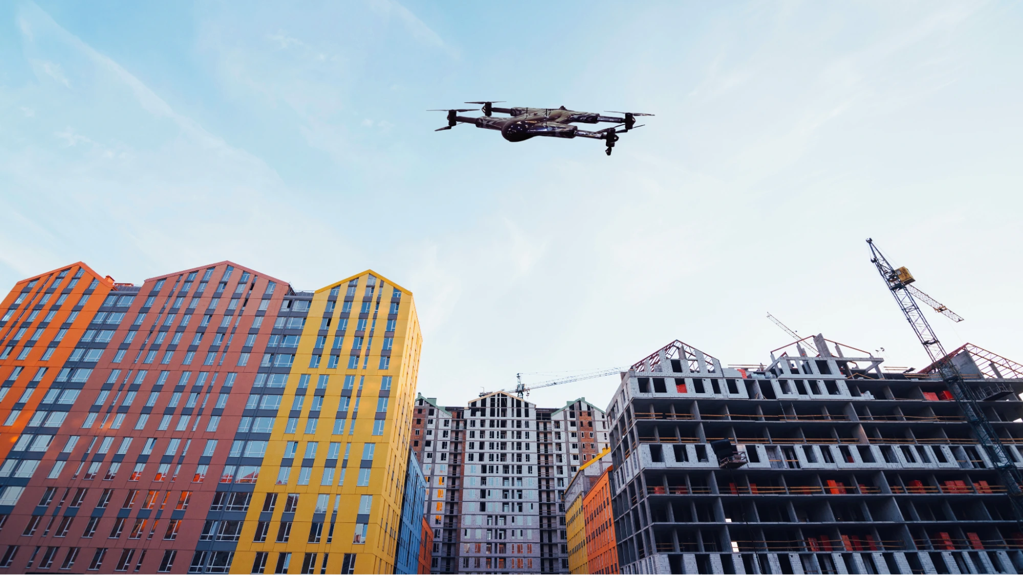
1. Construction & Urban Development Services
Construction Progress Updates: From progress tracking to site monitoring, construction drone services allow businesses to see real-time updates without relying on manual reports. By adopting the construction drone services, companies improve communication and smooth workflows.
3D Scanning Services & Concrete Scanning: Using drone 3D scanning, it creates highly accurate models of construction sites for planning and analysis. When combined with concrete scanning, these tools detect the concerns in structures before they can cause problems.
City Planning & Urban Development Support: The benefit of drone city planning lies in enabling smarter zoning and also the advanced UAV 3D capping, which provides insights for infrastructure design. Both drone city planning and UAV 3D mapping help the cities grow more sustainably.
Terrain & Elevation Modeling: Engineers can utilize terrain modelling and UAV technology to generate precise data for design projects and construction. With terrain modeling UAV, planning can be safer and accurate.
Land Surveying: The traditional land surveys can be slow and expensive, but drone land surveying delivers the precise topographic data in less time. Businesses can accelerate their site assessments and ensure more accurate planning with drone land surveying.
2. Energy & Infrastructure Services
Drone Powerline Inspection: Utilities can complete their work faster, safer, and more cost-effectively with drone powerline inspections. Drone powerline inspection is allowing companies to take high-resolution images and thermal data and pinpoint faults before they result in outages.
You may like to read: How Much Do Power Line Drones Actually Save?
Drone Solar Panel Inspection: As renewable energy evolves, monitoring has become increasingly precise. An efficient drone solar panel inspection allows operators to detect defects, dirt accumulation, or shading problems within minutes.
Renewable Energy Drones: The utilisation of renewable energy drones in the inspection of wind farms, hydroelectric facilities, and solar plants ensures that these inspections are conducted without interfering with operations. Renewable energy drone inspections can also work in the detection of certain premature operation failures that an asset could experience.
The Telecommunication Tower Inspection Using Drones: Climbing telecom towers for inspections is dangerous and consuming. Inspections of telecom towers with drones are safe from the ground, taking detailed images for the providers.
UAV Inspection for Utilities: Utilities now request UAV inspections to check pipelines, substations, and power grids. Thus, with the incorporation of UAV inspection for utilities, they can reduce risk, cost, and finally improve the reliability of service.
Automated Drone Inspections & Analytics: Automated drone inspections enable teams to collect consistent and repeatable data along long stretches of infrastructural networks. Coupled with on-the-go airborne analytics, automated drone inspections provide insight to leaders on the faster side of action.
3. Agriculture & Environmental Monitoring Services
Drone Mapping: This can never be paralleled with regular surveying because it’s precise and faster in capturing images. Agricultural or environmental teams today use drone mapping to create precise, real-time maps in the areas of land use, irrigation planning, and crop health assessment.
Multispectral Imaging: Crops will show signs of stress well before it’s visible to the naked eye. However, this multispectral imaging allows farmers to catch early diagnoses of disease, pests, or even water stress in the crop, enabling them to take measures in time to safeguard yield.
Drone Crop Monitoring: Drone crop monitoring reduces costs and creates economies when fertilizers, pesticides, and water are applied, and helps in long-term investments.
Multispectral Drone Imaging & Remote Sensing: Advanced multispectral drone imaging paired with remote sensing drones allows for more exact monitoring of soil conditions, biodiversity, and ecosystem changes.
AI-Powered Drone Analytics & Aerial Data Acquisition Services: With an aerial data acquisition service, AI-powered drone analytics lead to tangible strategies, competent enough to become a part of big-picture initiatives. Aerial data acquisition services grant stakeholders real-time insights used by both agriculture and proper environmental conservation.
4. Mining & Industrial Surveying Services
Drone Mining & Aggregates Surveying: Current operations utilize drone mining inspections to quantify stockpiles, monitor resources, and ensure adherence to safety guidelines.
3D Drone Mapping: Large industrial projects need precision, and 3D drone mapping provides it. By creating precise 3D models, 3D drone mapping enables engineers, geologists, and decision-makers to assess terrain and plan projects more effectively. Learn how VR drone mapping is taking this technology to an even more immersive level.
Terrain Modeling UAV: By employing a terrain modelling UAV, organisations can survey the elevation data required for excavation planning, road planning, and resource allocation.
Remote Sensing Drones: Safety and environmental monitoring are supplemented by the use of remote sensing drones, which enable teams to obtain data without entering risk areas. Using remote sensing drones, mining not only enhances safety but also helps better understand environmental effects.
UAV Commercial Applications: As part of the broader applications for companies, drones provide cost-effective, scalable solutions for surveying, mapping, and inspection. Mining companies can streamline their processes and achieve the highest ROI by utilizing UAVs for business operations through precision and automation.
Read also: How Are Drones Revolutionizing Commercial Inspections?
5. Military & Security Drone Services
Military Drone Services: The industry is now using drones to improve its mission readiness. With military drone inspections now we can remotely assess the camp, battlefield, and even convoys without endangering personnel.
UAV Tactical Surveillance: Current operations rely on UAV tactical surveillance to provide real-time observation and enhanced situational awareness. Based on UAV tactical surveillance, security agencies monitor movement and identify threats more effectively.
C4ISR Drone Systems: C4ISR drone systems integrate communication, intelligence, and reconnaissance capabilities to enhance field operations. Enhanced unit coordination and decision-making are provided to the military commander through C4ISR drone systems.
6. Drone Services for Media & Journalism
Drone News Coverage Services: Drone news coverage sees news teams cover live stories with a fresh spin and in real-time, presenting the audience with contextual points that other avenues cannot provide.
Drone Services for Marketing: Companies are utilizing intellectual drones for marketing & PR to create stunning marketing materials that capture attention and foster more effective connections.
Aerial Media & Live Event Coverage: With UAV media services, production teams can capture all the action from above, delivering an enhanced on-site and online experience to the audience. Supported by real-time aerial analytics, these services eliminate seamless coordination and accuracy at high-energy events.
7. Recreational & Specialized Services
Drone Services for Golf Courses: Drone golf course surveillance enables operators to view turf condition, irrigation effectiveness, and landscape aesthetics from the skies.
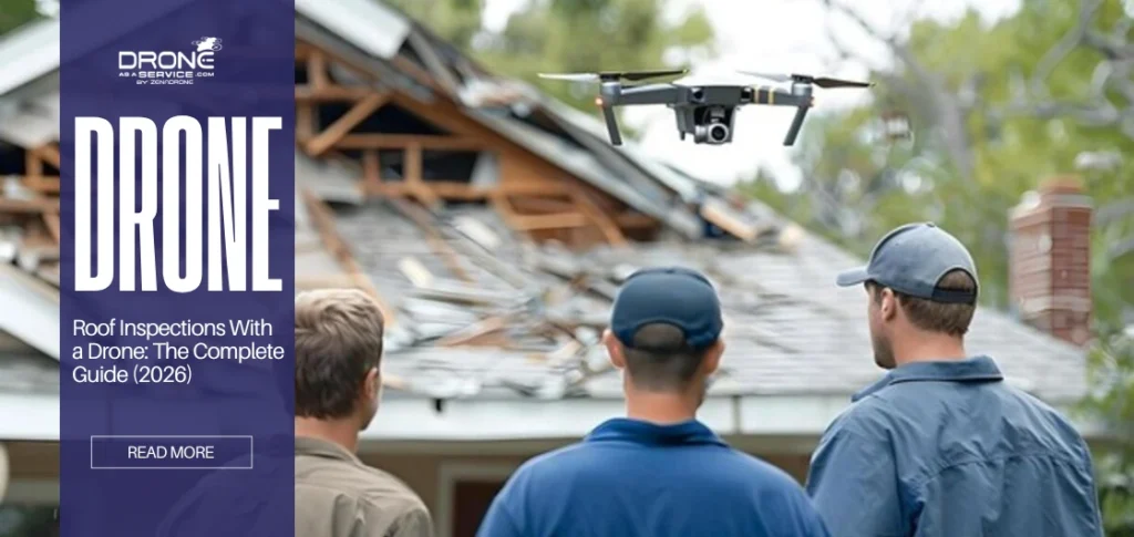
Real Estate & Roof Survey Inspections: Roof inspection drone solutions help property owners identify problems in a timely manner and prevent expensive repairs in real estate management. Businesses can assess rooftops safely, without the use of scaffolding or ladders, with roof inspection drone solutions, while minimizing liability risk.
Drone-Based Asset Management: In addition to autonomous projects, certain organizations are utilizing drone-based asset management to monitor and maintain valuable assets and infrastructure. Through drone-based asset management, organizations can optimize maintenance schedules, enhance safety, and even make smart resource allocation decisions.
Read also: What are the Biggest Commercial Applications of Drone Technology Today?
Key Advantages of Business & Commercial Drones
Business owners like you can adopt commercial drone services as a key to staying ahead of technological advancements, also gaining measurable advantages that impact the performance and profits of your business.
The following advantages are:
Speed, safety, cost efficiency
Commercial drones offer affordable alternatives to traditional survey methods, providing faster inspections. With real-time aerial analytics, companies can finish projects in less time without compromising the quality. Using real-time aerial analytics, it can also cut expenses for operations, rentals, and labor costs for workers.
Real-time, accurate data
Instead of sending workers to hazardous areas, companies use computer vision for UAV inspections to gather data remotely. This minimizes the accidents while improving the quality of collecting data. Through smart drones for commercial use, organizations can detect issues earlier and come up with solutions faster and more safely.
AI-powered predictive insights
With AI-powered drone analytics, it can predict failures in equipment and also reduce downtime. This technology helps in transforming aerial data into a strategy. By applying AI-powered drone analytics, the business can maximize ROI. Also, it improves the efficiency of operations.
Lower Environmental Impact and Scalable Operations
Smart drones for commercial use cut fuel waste and emissions by replacing heavy equipment with eco-friendly alternatives. Also, with AI-enabled drone fleet coordination, it ensures that managing multiple sites is easier since it provides consistent results.
Future of Commercial Drone Adoption
The commercial drone industry is undergoing rapid changes in automation and data-based applications. Thus, business has turned to faster, cheaper, and competitive solutions.
A significant development is the introduction of fleets of unmanned aerial vehicles that fly autonomously and beyond visual line of sight (BVLOS) with minimal human interference. These drones feature on-board obstacle avoidance systems, enabling advanced drone flight beyond line-of-sight for large-scale, continuous inspection of industries such as energy, utilities, and infrastructure.
Another drone trend that you must look forward to is the continuous upgrade of AI-powered data analytics. Expect the integration of geospatial AI in drone mapping. That way, users can produce detailed modeling and also receive much more reliable predictive insights.
Last but not least, drone companies like Drone-as-a-Service (DaaS) offer businesses an alternative to purchasing drone equipment by enabling them to subscribe to smart drone services. This provides greater flexibility, scalability, and access to the latest technologies.
Questions That are Commonly Asked
What is a commercial drone?
It’s actually a complex unmanned aerial vehicle built for business purposes. Commercial drones aren’t toys; they are designed with high technology for use in the business environment.
When will business drones come in handy?
They’ll find use in construction, mineral recovery, agriculture, energy, mining, security, real property, and extensive field media applications.
What type of technology is being put into business drones?
Such as LiDAR for accurate mapping, 3D scanning, AI analytics for more intelligent insights, thermal sensors to sense heat signatures, and cloud GIS for solid data management.
How can we make drones more effective in safe operations?
They tend to keep humans out of hazardous sites while they provide accurate, real-time data. Speed means less risk and better oversight.
What value does a business drone bring?
Reduced costs, shorter time in data transfer, better decisions, and operational sustainability for the future. Put plainly, it is really value for its money.
Conclusion
Drones are reshaping industries for efficiency, safety, and return on investment. By adopting technological improvements like commercial drone solutions, these tools become a ladder for businesses like yours to rise to the top. The expansion of UAV industry applications continues to prove that it supports operations better, especially in predictive analysis. Letting businesses be equipped and ready to escalate results.
From the skies above to true insights, DaaS drone services will work for you. Discover how our drone services can elevate your operations today!