From Sky to Cloud: How Drones and Cloud Platforms Work Together for Real-Time Data Insights
In today’s connected world, drones are no longer just flying cameras — they’ve become data-driven tools capable of transforming industries through real-time insights. The real revolution, however, comes when this aerial data meets the power of the cloud. That’s where cloud-based drone analytics come in. Turning raw imagery into intelligent decisions faster than ever before.
The Shift from Ground Storage to Cloud Intelligence
Every flight mission produces gigabytes of aerial data from high-resolution drone and orthomosaic maps to LiDAR scans and 3D models. Processing all this locally is time-consuming, storage-heavy, and limits collaboration.
With cloud-based drone analytics, data is uploaded directly from the field to a secure cloud environment, where AI and automation take over. Within minutes, organizations can view actionable insights, share results with teams, and make smarter decisions without manual effort or technical delays.
How Does Cloud-Based Drone Analytics Work?
Here’s how the process of cloud-base analytics unfolds:
- Data Capture: Drones equipped with advanced sensors or thermal cameras collect detailed imagery and readings.
- Cloud Upload: Data automatically syncs to a central cloud platform in real time.
- Analytics & Visualization: The cloud runs powerful algorithms to create 3D maps, detect anomalies, or generate agricultural health reports.
- Instant Access: Teams can access results anytime, anywhere, from any device.
This streamlined process makes drone operations faster, smarter, and far more scalable than traditional methods.
Key Benefits of Cloud-Based Drone Analytics
- Real-Time Decision Making: Enables instant insights, ideal for agriculture, construction, and inspection projects.
- Scalable Storage: No more hardware limits; handle thousands of drone flights without extra servers.
- Team Collaboration: Field and office teams can access the same live dashboards.
- AI Integration: Automate tasks like crop health analysis, 3D scanning and modeling, or object detection directly from the cloud.
By combining aerial data with cloud computing, drone operators can focus less on data management and more on strategic outcomes. As highlighted by Nutanix, integrating drones with cloud-based platforms enables real-time data analysis and streamlined workflows, allowing organizations to turn aerial insights into actionable business intelligence. (Source: Nutanix)
Industries Leading the Way
Several industries have rapidly adopted cloud-based drone analytics to stay competitive:
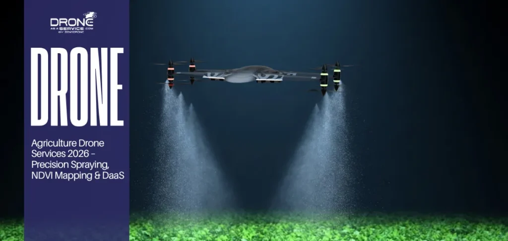
- Agriculture: Farmers use drone crop monitoring and NDVI imaging to monitor fields in real time.
- Construction: Project managers track progress through real-time mapping and site monitoring dashboards.
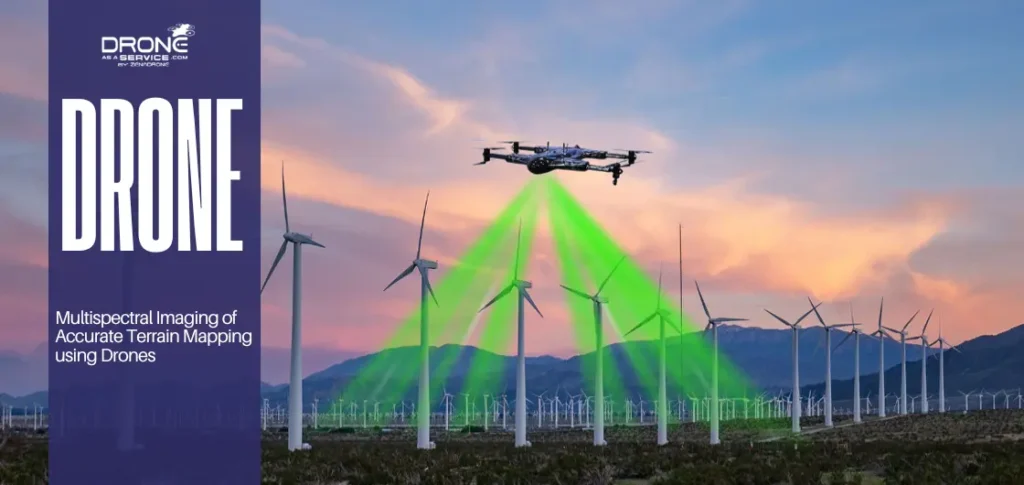
- Energy: Technicians analyze drone solar panel inspections and wind turbines for efficiency and maintenance planning.
- Environmental Monitoring: Cloud data helps track deforestation, flood risk, and wildlife movement across vast areas.
You may love to read also: How Can Drones Be Helpful for Emergency Services?
Each of these industries benefits from faster insights, lower operational costs, and data-driven planning powered by the cloud.
The Future of Drone and Cloud Integration
As technology evolves, the connection between drones and cloud platforms will only deepen.
Emerging trends like edge computing, AI-based predictive analytics, and 5G-enabled real-time streaming are redefining how we use aerial data. Soon, drones won’t just collect data they’ll process and analyze it on the fly, sending only the most relevant insights to the cloud.
FAQs
What is cloud-based drone analytics?
It’s the use of cloud computing to store, process, and analyze drone-generated data in real time, eliminating the need for local processing.
Why should businesses use cloud-based drone analytics?
Because it improves efficiency, accuracy, and collaboration — letting teams make faster, data-backed decisions.
Is drone data secure in the cloud?
Yes. Reputed cloud systems offer encrypted storage, access control, and real-time monitoring to ensure complete data safety.
Which industries benefit most?
Agriculture, energy, and construction sectors gain the most from instant aerial insights powered by cloud analytics.
Conclusion
The future of drones lies in the cloud. Through cloud-based drone analytics, companies can unlock real-time intelligence, coordinate remote drone operations at operational scale, and make data-backed decisions that truly matter.
Every flight now represents more than just a data collection mission. It’s a step toward smarter, connected, and insight-driven operations powered by cloud intelligence.