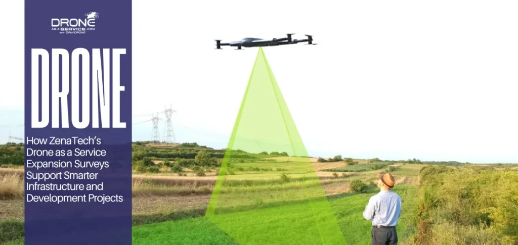
Drone Land Survey Services: Improve Accuracy, Speed & ROI in Modern Projects
TL;DR
Drone land survey services provide faster, safer, and highly accurate data for construction, real estate, and infrastructure projects, making them ideal for large-scale and time-sensitive land analysis. Compared to traditional surveying methods, drone land surveying delivers faster turnaround times, improved safety, and survey-grade accuracy. From construction to infrastructure, it is transforming how land data is captured and analyzed.
What Are Drone Land Survey Services and How Do They Work?
Drone land survey services use UAVs equipped with LiDAR (Light Detection and Ranging) and photogrammetry mapping tools to capture high-precision geospatial data for construction, infrastructure, and land development projects.
Alternatively, land surveying and mapping crews prefer using photographic mapping in order to assemble images into one high-resolution visual file. These raw inputs are then processed using software to generate a digital elevation model (DEM) to analyze slope and drainage patterns.
Additionally, remote sensing applications sense slight changes in the Earth without actual physical contact. Lastly, engineers will then use the generated output to represent how new structures would interact with the current environment.
Drone Survey vs Traditional Survey: When Should You Use Each?
Choosing a drone survey vs. a traditional survey depends on the project’s scale and the amount of ground covered. For one, traditional surveys take more time the larger the area. In comparison, drones can cover several hectares within hours.
Next, natural features like mountains, wetlands, or cliffs make site analysis difficult. UAV land survey makes these areas more accessible and can collect data safely from the air.
Additionally, time-sensitive projects like infrastructure repairs benefit from a fast turnaround. The speed of aerial capture allows developers to meet tight deadlines without sacrificing the high accuracy required for topographic mapping.
| Feature | Drone Survey | Traditional Survey |
| Speed | Covers large areas in hours. | Requires days or weeks manually. |
| Accessibility | Ideal for cliffs and wetlands. | Limited by physical ground obstacles. |
| Data Density | Millions of points via LiDAR. | Limited points marked by hand. |
| Deliverables | Orthomosaic maps and 3D models. | 2D CAD drawings and sketches. |
How Accurate Are Drone Land Survey Services?
A high-accuracy drone survey provides survey-grade drone data results, achieving centimeter precision in demanding engineering and construction tasks. Modern aerial platforms compete with traditional ground tools by utilizing advanced positioning hardware to verify every single geographic data point.
- Survey Grade Precision: Reliable topographic survey methods now achieve vertical and horizontal precision within a range of two to three centimeters. These outcomes meet professional standards for drone surveying and mapping in many infrastructure and industrial projects.
- RTK and PPK Systems: Onboard Real-Time Kinematic (RTK) sensors provide instant corrections to positioning data while the drone is still in flight. Alternatively, Post Processed Kinematic (PPK) workflows are used to refine geospatial mapping services data post-landing.
- Factors affecting accuracy:
Drone land survey services work best in clear weather and light winds. If there’s cloud cover or mist, the camera can get fogged, which makes photogrammetry hard or impossible. On the other hand, strong winds can push the drone off its planned path.
You may like to read also: How to Check Weather Forecast Before Flying a Drone
What Are the Key Use Cases of Drone Land Surveys Across Industries?
The current use cases for drone surveying for infrastructure projects, as well as other types of projects, revolve around data. Aside from visualization and modeling, this data is also key in decision-making across various sectors.
Construction Management
Site engineers use terrain modeling to track earthwork volumes and monitor daily project progress with extreme visual clarity. A study indicates how drone mapping for construction can lower surveying costs by up to 50% for large-scale.
Real Estate Development
Photographic mapping is used to develop immersive 3D models that display the land’s potential to developers and future residents. These computer applications provide an accurate contour map, which assists in designing drainage and utility locations within new residential areas.
Infrastructure Maintenance
Drone surveying for infrastructure projects can quickly inspect bridges and highways without the delays associated with traditional road closures. Drone survey research indicates that “Drone-based field surveys can reduce survey time by as much as 80% compared to conventional ground-based methods”.
Mining Operations
Safety teams deploy lidar topographic survey tools to measure dangerous stockpiles and mining slope stability monitoring without entering hazardous zones. Mining engineering journals show that “Aerial surveys are much quicker than ground-based data collection methods”.
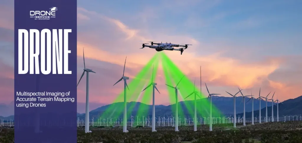
Precision Agriculture
Farmers embrace multispectral drone technology to monitor crop health and soil moisture. Scientific reports affirm that drone mapping technology could enhance yields through streamlining irrigation efficiency and the use of chemical fertilizers.
How Do Drone Surveys Improve Project Speed and Efficiency?
A fast land survey using drones can speed up a project timeline thanks to simplified data capture and analysis. With these aerial systems, site managers and land surveyors can bypass the bottlenecks of ground-based measurement.
Here’s how high accuracy drone surveys improve speed and efficiency for commercial projects:
Faster Data Collection
Precision mapping drones enable millions of data points to be collected in large areas of land within a single flight. The traditional crews could take weeks to complete the same distance that a single pilot can complete within a morning shift.
Reduced Manpower
Aerial topographic survey techniques reduce the workforce and overall operations in handling the whole process of data collection.
Real-Time Insights
Current geospatial mapping services offer real-time visual feedback, enabling site managers to make crucial decisions when the crew is on site. Teams can create orthomosaic maps to check the situation on the site and define possible safety issues.
With drone survey accuracy, companies will focus on innovation by automating the aspects of land surveying and mapping.
What Technologies Power Modern Drone Land Surveys?
Modern mapping uses various technologies. For instance, a LiDAR drone survey uses LiDAR (Light Detection and Ranging), which uses laser pulses to calculate distance from Earth’s surface.
These technologies collaborate to deliver a digital elevation model (DEM) that is used as a living record of the land. Drone mapping technology is able to provide a full-angle view of the world by using laser accuracy and visual data.
Here are a few of the main technologies powering today’s drone surveys:
Advanced LiDAR Systems
A LiDAR drone survey measures thousands of elevation points each second to form a detailed three-dimensional point cloud. These sensors are essential for lidar topographic survey projects where vertical accuracy is the top priority for the engineering team.
Photogrammetry Mapping
Photogrammetry mapping uses high-resolution cameras to combine thousands of images and measure a site’s geometry. Drone photogrammetry services are best for creating detailed, colorful orthomosaic maps similar to satellite imagery.
Drone GIS Integration
Drone GIS integration (geographic information systems) enables survey data analysis and mapping. Drone GIS mapping links aerial findings to existing databases to ensure that topographic mapping layers are structured and available.
How Is Drone Survey Data Processed and Delivered?
The drone survey data processing cycle converts raw aerial images to actionable intelligence through specialized digital workflows. These workflows guarantee that all captured pixels add up to highly accurate and precise results.
Here’s how:
Pre-Processing Alignment
For the pre-processing alignment, technicians upload thousands of high-resolution files to advanced cloud systems. These files are then aligned and stitched together to create photographic maps.
Terrain Modeling and 3D Construction
Once the alignment is complete, the software generates immersive 3D versions that represent the physical site with incredible spatial depth. Project managers use these terrain modeling outputs to virtually navigate the landscape and inspect structural details from any vantage point.
Data Extraction and Analysis
The system simultaneously produces high-resolution orthomosaic maps, which offer a completely distortion-free view of the entire surveyed project area. Developers rely on these visuals alongside a digital elevation model (DEM) to calculate volumes and plan for complex drainage systems.
Final Delivery and Integration
Finally, the processed information is exported into standard industry formats that integrate directly with existing land surveying and mapping tools. This simplified delivery means that stakeholders use geospatial data to make vital decisions in their projects instantly.
Are Drone Land Surveys Cost-Effective for Large Projects?
Drones allow for cost-effective land surveying, which greatly reduces the financial strain of site analysis and large-scale data collection. For most firms, the initial investment in drone mapping services results in various cascading benefits. One example is in how survey teams take less time to complete their surveys.
The resulting speed and efficiency of geospatial mapping services result in greater long-term ROI for developers. Through precise geospatial data captured early, teams can prevent costly construction mistakes commonly caused by outdated or inaccurate manual measurements.
Additionally, aerial platforms are suitable in extensive land areas that are not logistically feasible or costly for standard land surveying. This scalability means that as a project expands, the drone survey data processing can be efficient without a staff increase.
Finally, the outputs of the digital elevation model (DEM) are rich in information that can be re-utilized to achieve the maximum value. Drone survey for land development is an investment that will be used in creating an accurate and lucrative development process.
What Challenges Should You Consider Before Using Drone Mapping Services?
While drone mapping services offer many benefits, it’s important to consider environmental and legal factors first.
Here are a few factors to consider:
Weather Limitations
Land surveys need fair weather and light winds. With drone mapping, clouds and mist can fog up the camera, making photogrammetry impossible. Meanwhile, strong winds can veer the drone off course.
Regulations and Compliance
Navigating complex airspace laws is essential for all geospatial mapping services to ensure safety and avoid significant legal penalties. According to recent aviation research, “Maintaining strict adherence to local flight protocols is vital for sustainable industrial operations”.
Data Processing Time
Generating a detailed digital elevation model (DEM) requires significant computing power and time after the initial flight. On average, drone survey data processing takes several days before the final output can be delivered.
By knowing these variables, project managers can set realistic expectations of land surveying and mapping timelines within any environment.
How Do You Choose the Right Drone Survey Provider?
A professional drone surveying company can help you make the best decisions for your project through specialized equipment and industry knowledge.
While there are many drone survey companies, not all will meet your project’s needs. Finding the right service depends on identifying a provider that understands specific topographic survey methods and remote sensing applications.
Here’s how you find the service that fits you best:
Industry Experience
An experienced drone surveying company has proven experience with navigating different landscapes and intricate airspace policies of high-risk tasks. Established teams are known to have documented successful applications in drone mapping technology to address problems in different industrial fields.
Strict Accuracy Standards
High-quality providers have strict accuracy criteria for using LiDAR topographical surveys to align ground coordinates with centimeter-level precision. You should request samples of their past land surveying and mapping to confirm the data consistency.
Efficient Data Delivery
Trustworthy companies focus on an efficient drone survey data processing pipeline to provide actionable insights within your project deadlines. They must offer a flexible digital elevation model (DEM) and orthomosaic maps that are compatible with your software.
Is Drone Land Surveying the Future of Site Analysis?
The adoption of terrain modeling via aerial platforms signals a permanent shift in how industries evaluate and manage land. At the same time, more surveying companies are using drones to complement current methods for faster data gathering.
In long-term value, lidar topographic surveys create a permanent digital record for all stakeholders. With stored DEMs, teams can accurately monitor environmental changes and site erosion over decades.
Furthermore, firms that embrace remote sensing applications early gain a strategic advantage over their slower and manual competitors. Performing a fast land survey using drones enables these companies to compete in complex contracts.
As industries demand faster, safer, and more precise data, drone land survey services are no longer optional. They are becoming the standard for modern site analysis.
Looking for high-accuracy drone land survey services? Contact our team to get survey-grade data for your next project!