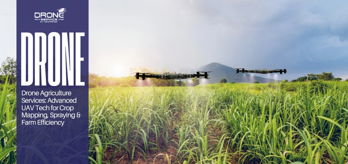
Drone Agriculture Services: Advanced UAV Tech for Crop Mapping, Spraying & Farm Efficiency
Drone agriculture services involve the use of modern aerial technology that maximizes crop production and improves the efficiency of the global agricultural sector. These new agricultural drone services offer real-time data, which assists farmers in addressing the shortage of labor and unpredictable climatic changes.
Modern smart farming solutions empower growers to monitor vast fields quickly while reducing high input costs and minimizing chemical waste. This rapid shift toward data-driven farm management is essential for feeding a growing population through precise and sustainable techniques.
What Do Farmers Use Drones For? (Core Applications in Modern Farming)
Modern growers use drones to solve complex challenges involving crop health and resource management efficiency. These high-tech tools provide a detailed digital elevation model (DEM) that helps identify drainage issues across vast agricultural fields.
- Photographic mapping is used in crop health monitoring to identify early indicators of pest invasion or a particular nutrient deficiency issue.
- The terrain analysis is used in soil and nutrient analysis to dictate where to plant and where to apply the necessary fertilizer.
- Drone agriculture mapping produces orthomosaic maps that portray an all-encompassing, bird’s-eye perspective of overall farm production.
- Precision pesticide and fertilizer spraying involves the use of drone mapping technology to identify the exact areas that require treatment with chemicals.
- Remote sensing can be used to identify precisely where crops are in need of water through irrigation management and water stress detection.
- Livestock tracking and pasture monitoring use thermal sensors to locate lost livestock and gauge the quality of the grazing fields.
- Plant population counting and yield protection assist in the harvesting planning as they give accurate data on plant volume.
By integrating geospatial mapping services, farmers can now make informed decisions that increase their overall seasonal crop yields. These applications prove that land surveying and mapping are no longer just for construction but are vital for modern agriculture.
How Are Drones Used in Agriculture Across the Farming Lifecycle?
To understand the application of drones in agriculture, it is necessary to consider the whole agricultural process from preparation to harvest. These advanced machines offer a stream of constant data that makes all processes of farming very efficient.
Pre-Planting Phase
Topographic mapping can determine the natural slope and drainage patterns of the field before the seeds are put on the ground. In some advanced cases, LiDAR-based surveys may be used to develop an elaborate digital elevation model (DEM) to plan accurate field drainage.
Furthermore, land surveying and mapping allow for exact land boundary and acreage measurement to optimize the total planting area. Farmers utilize geospatial mapping services to analyze the soil structure and ensure the land is ready for new crops.
Planting Phase
Drone technology can also support seed spreading in selected crops and monitor early plant emergence and field uniformity. Farmers utilize geospatial mapping services to analyze the soil structure and ensure the land is ready for new crops.
Crop Growth Phase
As the plants are growing, drone crop monitoring with multispectral imaging identifies the early symptoms of nutrient deficiencies or covert pest attacks. Through these remote sensing applications, water stress and early diseases are detected before the human eye can see.
By using photographic mapping, farmers create detailed pest infestation mapping to target specific areas for localized and effective treatment. Consistent monitoring ensures that the crops remain healthy and productive throughout the most critical stages of their biological development.
Harvest Phase
During harvest, orthomosaic maps assist in yield forecasting and performing a comprehensive crop maturity analysis for timing. This information is vital for harvest logistics planning, ensuring that machinery and labor are deployed at the perfect moment.
Advanced terrain modeling assists operators to operate the equipment safely as well as to maximize the amount of the collected and stored agricultural products.
Drone Agriculture Mapping: Precision Land & Field Intelligence
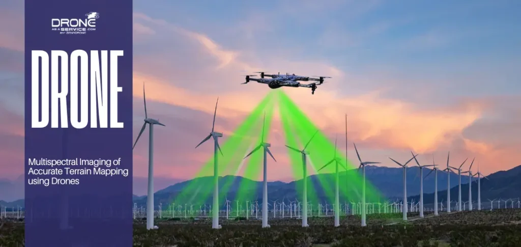
Drone agriculture mapping offers higher resolution aerial data that is far more precise than the previous traditional satellite and ground surveys. The systems apply photographic mapping to produce rich orthomosaic maps that unveil the concealed health of every plant.
Advanced sensors are used to record NDVI and multispectral imagery to capture early stress and examine the variable, complex soils in the field. By using geospatial mapping services, the accuracy of calculating the acreage with precision can reach centimeter-level accuracy when using RTK/PPK-enabled systems to facilitate improved planning.
Modern terrain modeling and contour mapping allow farmers to visualize their land in three dimensions for superior water management. This contour map technology is essential for field drainage planning and identifying low spots that could cause crop rot. When comparing drone agriculture mapping to satellite imagery, drones offer much higher resolution and the ability to fly under clouds. These topographic survey methods provide faster data turnaround at a lower cost than hiring manned aircraft for localized scouting.
Through GIS-based farm analytics, growers will be able to transform raw images into actionable information to help maximize their total seasonal income. This degree of land surveying and mapping offers the field intelligence necessary to conquer the modern competitive agricultural market.
Drone Crop Monitoring & AI-Driven Farm Insights
Drone crop monitoring involves the use of high-resolution cameras to document real-time data, which conventional scouting is incapable of delivering. These advanced remote sensors can detect early patterns of stress to avoid large-scale crop failure in the whole farm. Artificial intelligence detects diseases through image processing and machine learning, analyzing imagery to identify early visual patterns of disease. This proactive drone crop monitoring helps minimize a lot of crop loss as farmers can intervene to solve the issues before they escalate.
Integration with precision agriculture software and cloud-based data dashboards allows for seamless data sharing among the management team. These digital tools use predictive analytics for yield improvement to ensure every acre reaches its maximum biological production potential.
By utilizing photographic mapping, growers can see precise visual evidence of how their management decisions affect plant growth. This level of land surveying and mapping provides the critical field intelligence needed to dominate the competitive modern market.
Drone Agriculture Services for Spraying & Precision Application
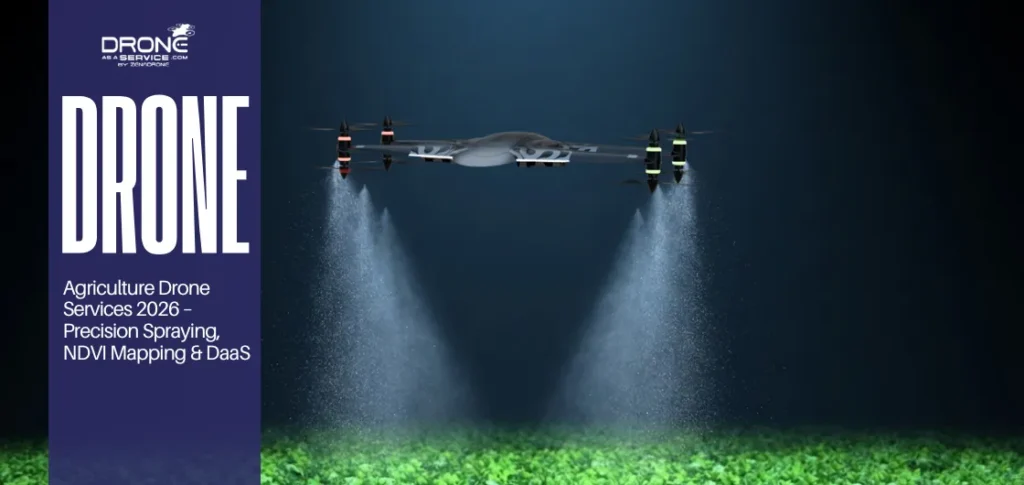
Drone agriculture services provide a safer, more efficient alternative to conventional manual or tractor-based spraying. These high-capacity agricultural drone services use Variable Rate Application (VRA) technology to apply chemicals only where they are needed.
Automated drone agriculture services significantly reduce chemical drift and lower total water consumption during the vital crop protection phase. This target-based pesticide spraying ensures that sensitive areas remain untouched while the drone mapping technology guides every flight path.
In comparing the manual spraying and drone-based spraying, drones have superior coverage speed without destroying the fragile soil or crops. Such smart farming technologies enhance the safety of farm workers by eliminating direct contact with hazardous chemical compounds.
Photogrammetry mapping allows operators to determine specific areas of weeds to be treated, rather than spraying an entire field randomly. These drone farming services are the future of sustainable agriculture, as they optimize resources and preserve the natural local environment.
Benefits of Drones in Agriculture
The main benefits of drones in agriculture are that they increase farm productivity significantly and reduce operational costs. Faster field coverage is achieved with these agricultural drone services than with traditional ground-based machinery or manual methods of crop scouting.
Past research indicates that smart farming technologies can cut down chemical application by up to 30% using precision application methods. It leads to better resource management and a higher ROI for farmers who adopt these advanced remote sensing applications.
Moreover, the advantages of drones in agriculture are also their enhanced crop health monitoring and significantly lower environmental impact. Using drone mapping technology will help identify specific problem areas to allow water and fertilizers to be applied most effectively.
Through photogrammetry mapping, growers will be able to have more accurate terrain modeling for long-term land management and planning. These quantifiable benefits demonstrate that drone surveying and mapping are critical investments for any modern farm business.
Advantages of Drones in Agriculture for Different Farm Sizes
The strategic advantages of drones in agriculture involve faster, data-driven decision-making for various operations. While benefits focus on specific results, these advantages represent the long-term strategic shift toward much more scalable farming operations. Both small family farms and large agribusinesses gain from a significantly lower labor dependency and improved operational flexibility. These advantages of drones in agriculture help growers meet strict sustainability standards while maintaining high performance in modern markets.
By utilizing photogrammetry mapping, small-scale farmers can achieve the same precision as massive corporations without expensive ground equipment. Enhanced terrain modeling provides a clear strategic vision that allows for better land use planning and long-term soil health.
Geospatial mapping services give farms of all sizes access to remote sensing tools for better field insights. These advantages of drones in agriculture help operations stay profitable and better prepared for changes in global commodity prices.
Agricultural Drone Services & Drone as a Service (DaaS) Model
Agricultural drone services offer the on-demand availability of advanced aerial technology without the excessive initial expenses of equipment ownership. This Drone as a Service (DaaS) platform enables farmers to outsource services related to specialized activities such as high-resolution orthomosaic maps. Compared to purchasing drones and managing operations internally, the Drone as a Service (DaaS) model reduces upfront costs and eliminates the need for in-house technical expertise.
Farmers with small farms that do not require daily drone operations are more likely to find agricultural drone services more affordable. The professional service provider ecosystem ensures growers receive professional data analysis while remaining compliant with all local regulations.
The subscription-based monitoring provides a better ROI to farmers since they will receive consistent data throughout the critical growing period. Such agricultural drone services provide extensive business prospects in the agritech field, as well as enhancing global food security.
By utilizing geospatial mapping services, providers can deliver a detailed digital elevation model (DEM) to help with planning. This flexible approach proves that land surveying and mapping are now accessible to every farmer through modern service models.
Challenges in Implementing Drone Technology in Agriculture
While the advantages of drones in agriculture are evident, there are a number of operational challenges that need to be mitigated using specific strategies. Awareness of these obstacles is the initial step toward integrating drone mapping technology into modern businesses in the agricultural sector.
- Regulatory approvals and airspace compliance: Farmers also need to navigate through complex systems of laws and acquire a legal flight pilot certification.
- Weather limitations: Poor weather, such as strong winds or heavy rains, may slow down a LiDAR topographic survey and alter data
- Technical expertise requirements: Personnel must be trained on reading a digital elevation model (DEM) to plan the field properly.
- Data privacy concerns: Sensitive orthomosaic maps can be stored on the cloud servers of third-party operators without the required local data encryption.
- Initial investment barriers: Small operations are often unable to afford the most recent photogrammetry mapping equipment and software due to their high initial investment costs.
Outsourcing such tasks will enable growers to concentrate on high-level decision-making and still uphold the best land surveying and mapping practices. These challenges can be mitigated through regulatory training programs, use of certified drone service providers, cloud platforms with secure encryption, and adopting lower-cost drone-as-a-service models.
Emerging Trends & Future of Drone Agriculture
The future of smart farming solutions is the fully autonomous agricultural drones that can work without direct human flight intervention. These advanced systems apply AI-assisted farm automation to examine data obtained through a digital elevation model (DEM) in real-time.
- Drone swarming technology: Various units operate together to achieve a lidar topographical survey at a much faster rate compared to one aircraft.
- Robotics and drone integration: Orthomosaic maps are shared by ground robots and aerial drones to coordinate their activities on planting and harvesting.
- IoT-connected smart farms: All sensors of the field are connected to the geospatial mapping services to have a real interconnected agricultural ecosystem.
- Sustainable agriculture innovations: Farmers can use new remote sensing applications to track the health of the soil and eliminate the use of dangerous chemical inputs.
- Carbon footprint reduction: Precision farming also reduces the use of fuel and maximizes resource utilization by generating precise terrain models.
With the implementation of these trends, growers will be able to use drone mapping technology to keep up with the fast-evolving global market.
Conclusion
Drone agriculture mapping and drone crop monitoring play a key role in today’s modern farming operations. These systems provide a detailed digital elevation model (DEM) that ensures the long-term benefits of drones in agriculture. Modern growers gain a massive strategic edge by using orthomosaic maps to make faster and more accurate management decisions. The growing global demand for agricultural drone services shows that these smart farming solutions are now an absolute necessity.
AI-driven precision agriculture remains the primary key to ensuring global food security through efficient and scalable remote sensing applications. By integrating drone mapping technology, farmers can transform their traditional fields into highly productive and profitable digital land assets.
FAQ
What do farmers use drones for in agriculture?
How are drones used in agriculture throughout the crop cycle?
What is drone agriculture mapping, and why is it important?
What are the main benefits of drones in agriculture?
What are the advantages of drones in agriculture for small farms?
How does drone crop monitoring improve yield and reduce losses?
What are agricultural drone services, and how do they work?