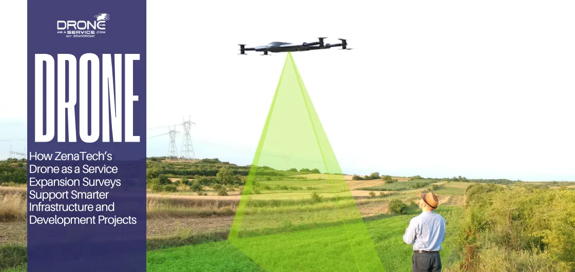
How ZenaTech’s Drone as a Service Expansion Surveys Support Smarter Infrastructure and Development Projects
Executive Summary
Drone services are becoming more common across industries like construction and utilities. ZenaTech’s Drone as a Service expansion provides aerial site data and mapping for businesses without the downside of in-house drone management. These services help teams collect data faster and support decision-making on site.
What Are Drone as a Service Expansion Surveys?
Drone as a Service expansion surveys are structured aerial data collection workflows that lets organizations plan, monitor, and scale physical site expansions. They are based on drone-based surveying systems delivered as a managed service.
Drone expansion surveys collect aerial data to evaluate land, terrain and infrastructure prior to development or network growth starting. Teams can then use the new imagery and spatial information to consider the pros and cons of building on site.
How Drone as a Service Surveying Works
Drone as a Service businesses deliver aerial data without needing organizations to build their own drone fleet. Their survey process usually includes:
- Mission planning
- Certified drone pilots
- Site-specific aerial data capture
- Post-processing into maps or 3D models
With outsourcing aerial data collection, you don’t have to purchase hardware or train your own pilots. In exchange, businesses receive a repeatable process that facilitates planning for growth and asset management.
Why Are Businesses Using Drone Surveying Services?
Drone surveying services have longer range and are faster than traditional surveying methods. On top of their speed and range, there are many reasons why they are a mainstay for many businesses:
- Improved operational visibility – Aerial mapping provides a clearer and more accessible view of the terrain, infrastructure and existing development in the target land area.
- Less need for manual field surveys – Using drones in the survey process reduces the need for frequent and repetitive surveys in hard to reach areas. It improves safety and allows the team to focus on more important tasks, such as validation work.
- Easier scalability across projects – Standardized aerial workflow processes mean consistent surveying practice across however many sites the project spans.
How Do Drone Surveys Support Construction and Land Development?
Drone data gives teams a clear view of the site’s topography. Aside from things like access routes and elevations, it can even show other environmental conditions aren’t always visible.
For many teams, this data that construction drone surveys offer is critical, especially during the planning stages.
Here’s how drone surveys can support ongoing projects:
Earthwork Tracking
Aerial measurements can track cut-and-fill volumes as well as terrain changes over time, which results in a more accurate picture during site preparation.
Additionally, it also cuts down on manual volume calculations. Engineers can use this information as the basis for more precise models for grading design and earthwork planning.
Progress Monitoring
Pre-planned flights can capture site conditions, structural changes, and material placement throughout the project. They produce visual documentation that can be used to track progress based on current schedules.
How Are Drone Surveys Used in Infrastructure Projects?
Drone surveys provide clear spatial details on various structures, including things like height, depth, or more specific dimensions. On top of that, they speed up site assessments and reduce the need for onsite checks.
Here’s how infrastructure drone mapping is used in projects :
Utility Corridor Mapping
Utility corridors aren’t always easy to access or map but connect vital infrastructure. They also carry things like water, sewer, or even gas pipelines.
Today, inspectors, surveyors, and construction teams now rely more on drone surveying services to map out these areas. Aside from mapping, drone surveying can also check for potential leaks or damage.
Road and Bridge Surveys
Roads and bridges can stretch on for long distances, making it tedious for traditional ground surveys to cover. Drone surveys offer comprehensive data to find out the best way that roads and bridges can be built or repaired.
Infrastructure Asset Documentation
On larger sites, drones deliver regular visual data on infrastructure and assets, which help the teams update asset records and monitor changes.
Aerial mapping leads to a better understanding of the existing infrastructure and surrounding land use, helping teams plan for expansion with a higher degree of spatial intelligence.
Expansion Planning Support
Drone surveys help planners with adding to existing infrastructure. This can range from finding the best configurations for placing assets to finding better ways to connect existing ones.
How Do Utility Companies Use Drone Surveying?
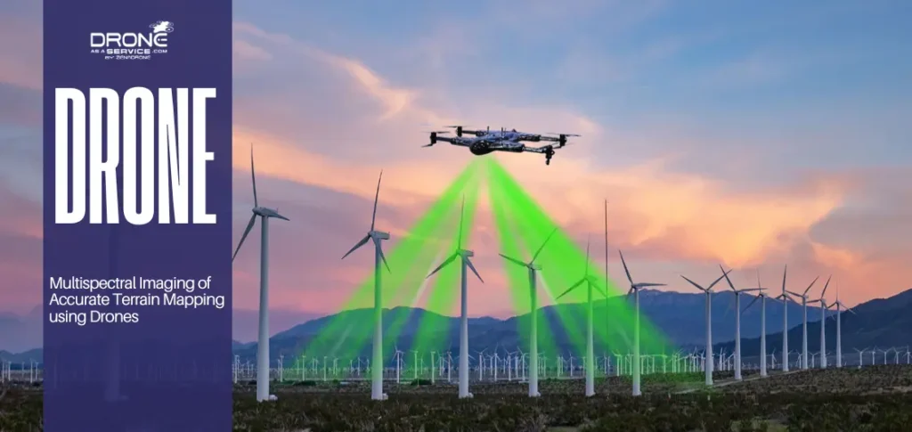
Drone as a Service utility inspection drones combine AI capabilities with various sensors.
Onboard sensors, including 4K cameras, LiDAR, multispectral sensors, radar and thermal imaging, provide detailed performance data on operational assets. This data is vital for everything from optimizing performance to scheduling repairs.
Powerline Route Surveys
Drones give detailed visualizations of transmission pathways by mapping the surrounding terrain, access roads, and infrastructure. They encourage improved planning and coordination on the ground when conducting utility corridor drone surveys.
Monitoring Pipeline Corridors
Workers can use drones to regularly inspect large pipeline networks which will help them monitor environmental changes and identify potential encroachments better.
Vegetation Management Visibility
Drone surveys help utility companies detect vegetation growth near infrastructure and schedule maintenance at the right time, preventing service disruptions.
Remote Asset Inspection Support
Aerial data and drones make remote infrastructure visible and measurable without physical site visits. This approach is primarily focused on inaccessible assets like transmission lines, pipelines, towers, remote or dangerous infrastructure.
Teams can then review structures, vegetation, ground changes and access routes to prioritise work orders. That improves visibility across distributed networks, reduces field exposure and helps with better maintenance and expansion planning.
How Do Drone Surveys Improve Operational Efficiency?
Drone surveys speed up data collection over large areas. One flight doesn’t just give teams a better view of the project site. It also gives them accurate data, from measurements to dimensions, that they can use for different purposes.
Additionally, they can do so without pausing or disrupting current operations.
Faster Project Assessment
Aerial data helps teams assess projects faster with fewer site visits. It gives faster analysis of the site without compromising key insights for better decision making.
Better Planning Visibility
Drone surveys offer planners and engineers a preview of a site’s features and limitations prior to beginning the development process, allowing for better and more efficient planning decisions.
Improved Team Coordination
Knowing site conditions and restrictions, and sharing aerial data, helps everyone function better as a team. Operational efficiency with drone surveys improves teamwork.
The less often you have to go back to a site, the better. In many cases, current aerial imagery is good enough for assessments and decisions.
What Technologies Improve Drone as a Service Surveying Operations?
Drone as a Service offers business and government clients some truly game-changing solutions. It uses advanced drone technology to capture precise operational data and applies AI‑driven analytics to improve performance across all your activities in real time.
LiDAR
LiDAR drone surveying involves acquiring high-density spatial data to ensure accurate modeling and assessment of the terrain and its infrastructure. Its biggest advantage is that it works in environments where traditional photogrammetry may have a hard time.
GIS Mapping
Data is translated to GIS map layers that enhance visibility of elevation, borders and other site characteristics. This alignment allows engineers and developers to better integrate field conditions to digital planning.
AI Analytics
Advanced drone solutions use AI analytics to detect patterns. These can range from surface changes to infrastructure differences. With continuous monitoring, teams can track mapping changes more easily.
Also, in large-scale projects, the efficiency of BVLOS (Beyond Visual Line of Sight) drone operations is significantly boosted. Its advantages are:
- Increased area coverage per flight
- Reduced number of field deployments
- Shorter data collection cycles
Photogrammetry
In some instances, photogrammetry is a supplement of LiDAR, adding real world image detail to the model. This helps to create more accurate surface texture that makes the final output more understandable and easier to utilize in aerial data collection workflows.
This can help with reviews, planning, and explaining site conditions to non-technical stakeholders.
Drone Surveys vs Traditional Land Surveys
Drone surveys vs traditional land surveys often differ in how quickly information can be collected and processed across active project areas.
Drone-based workflows can cover large land areas in just a few hours. Traditional surveying often takes several days, especially in low-access or complex terrain.
Comparison of Coverage
Drone surveys cover larger areas faster especially in areas with difficult terrain, vegetation, waterways or limited access. They reduce the number of site visits compared to traditional surveying limited by ground access and manual point collection.
Data Access
Converting aerial data into orthomosaics and geographical maps facilitates collaboration across many teams. It also promotes greater coordination and decision-making.
Meanwhile, traditional survey results frequently require additional interpretation and field inspections. This might result in a loss of context, particularly in planning and engineering work.
Operational Flexibility
Depending on the scope of the project, corridor length, weather, and inspection requirements, drones can be deployed allowing teams to collect current spatial data with minimal disruption to existing activities.
How Can Businesses Get Started with Drone Surveying Services?
Organizations interested in employing corporate drone surveying must first determine where airborne data can be valuable in operational planning. Infrastructure monitoring, land development evaluation, construction progress, and utility corridor assessment are all common topics of interest.
These use cases collect aerial data on a regular basis, increasing knowledge of assets, progress and hazards with fewer field trips.
-
Define Survey Goals
It is important to define clear survey goals before deployment begins. Organizations determine what information they need based on the job at hand.
-
Choose a Drone Service Provider
A provider with experience in surveying, data processing, and regulatory compliance can ensure reliable deployments and reports. They can also adjust drone output to fit the client’s needs.
-
Progressive Scaling of Operations
Many organizations start with smaller deployments before expanding across multiple locations. This approach lets teams polish workflows and evaluate long-term operational value.
What Is the Future of Drone-Based Expansion Surveys?
Drone-based expansion surveys are becoming more automated and connected. AI-powered automation (via machine learning) and IoT-enabled processes now mean that users can take a more hands-off approach.
Here’s how:
Autonomous Survey Operations
New technologies let drones fly predetermined routes with very little effort. With this automation, survey data is more consistent. Maps and models across project sites also get updated more regularly.
Here’s what’s making industries change the way they plan and monitor assets:
- Automated drone surveys are easy to schedule and let organizations track site changes while preventing hazards.
- Digital twin integration turns drone data into 3D models that users can update.
- Enterprise-scale mapping systems standardize spatial data across multiple sites and corridors.
- AI-assisted infrastructure planning spots patterns, surface changes, and hazards faster and more accurately.
From static snapshots to continuous and decision-ready intelligence, drone surveying is no longer just about seeing a site.
Conclusion
Drone services for infrastructure and development give teams a faster way to collect site data and see changing conditions. They support planning, monitoring, and expansion across projects that need clear ground truth.
The real value is in better visibility with less field work. Teams can reference aerial maps and measurements when making decisions on new developments.
As these services become more automated, they will fit even more naturally into daily project work.That makes it easier to track progress, manage risk, and keep infrastructure and development plans aligned.
Drone services empower you with the data you need for smarter planning. To see what Drone as a Service can do for your ongoing development projects, book a call with us today.