TL;DR
- Drones in construction enable faster, more accurate topographic mapping, 3D modeling, and real-time site data collection compared to traditional methods.
- Automated drone workflows improve construction progress monitoring, percent-complete tracking, and decision-making through high-resolution aerial insights.
- UAVs enhance safety by reducing human exposure to hazardous environments while enabling advanced inspections using thermal and remote sensing technologies.
- Drone adoption delivers strong ROI by cutting inspection costs (30–50%), reducing rework, and accelerating data collection up to 60x faster than manual surveys.
- AI-powered and autonomous drone systems are shaping the future of construction with predictive analytics, digital twins, and continuous site monitoring.
Introduction
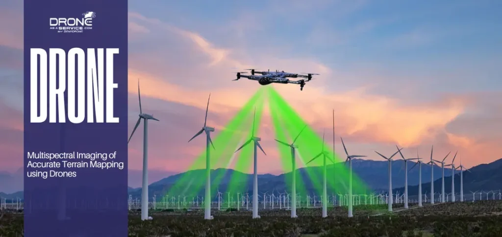
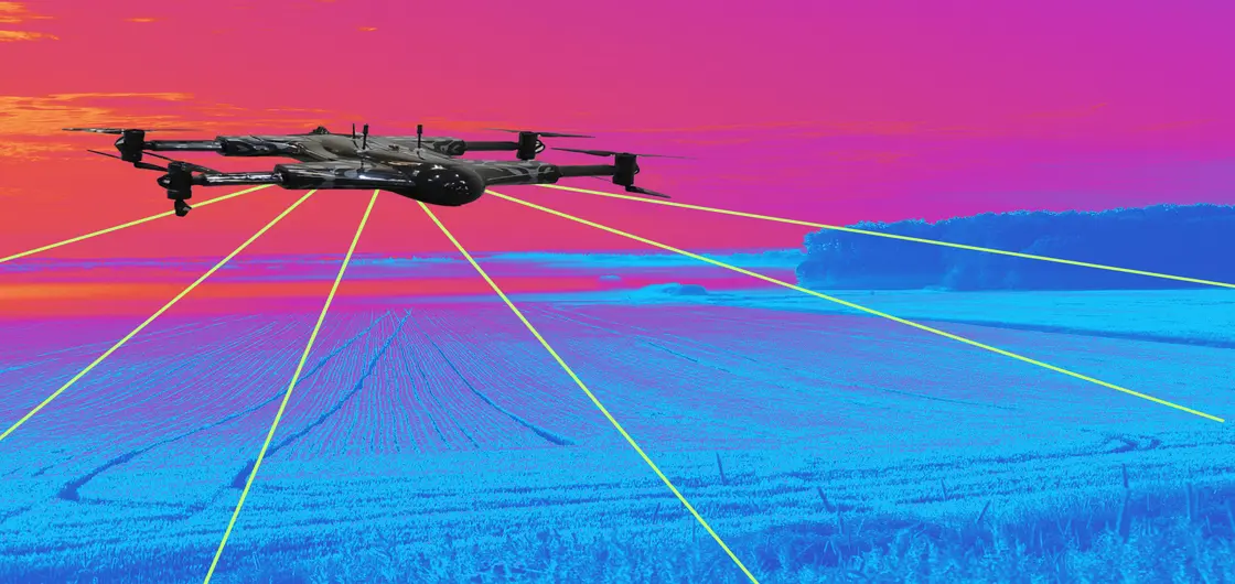
Drones in construction, also known as uncrewed aerial vehicles, are transforming how teams execute precise topographic mapping on large sites. These advanced UAV systems capture high-resolution images that serve as the foundation for modern photogrammetry mapping and remote sensing applications.
Traditional projects often face expensive delays and major cost overruns because manual methods lack sufficient project visibility for stakeholders. Managers frequently struggle with limited data when using outdated topographic survey methods that cannot provide comprehensive, real-time site data daily.
Implementing drones in construction allows for continuous construction site monitoring to ensure the construction workflow remains efficient and safe. High-quality drone mapping technology provides the necessary inputs for 3D modeling and creating a detailed digital elevation model (DEM).
Automated progress tracking serves as a core value by offering a clear digital twin of the current site conditions. These aerial results can be integrated with resources such as Autodesk BIM 360 to allow the teams to compare the aerial results with the initial building design plans.
To use these systems, it is necessary to follow the Federal Aviation Administration (FAA) rules closely to guarantee the safety of the location and legal regulations. These tools are used to produce an accurate contour map and high-quality orthomosaic maps to supply professional geospatial mapping services to the engineering industry.
What is topographic mapping without the speed and accuracy provided by modern land surveying and mapping through aerial platforms? These digital tools facilitate terrain modeling and contour mapping to optimize every phase of the project from the start.
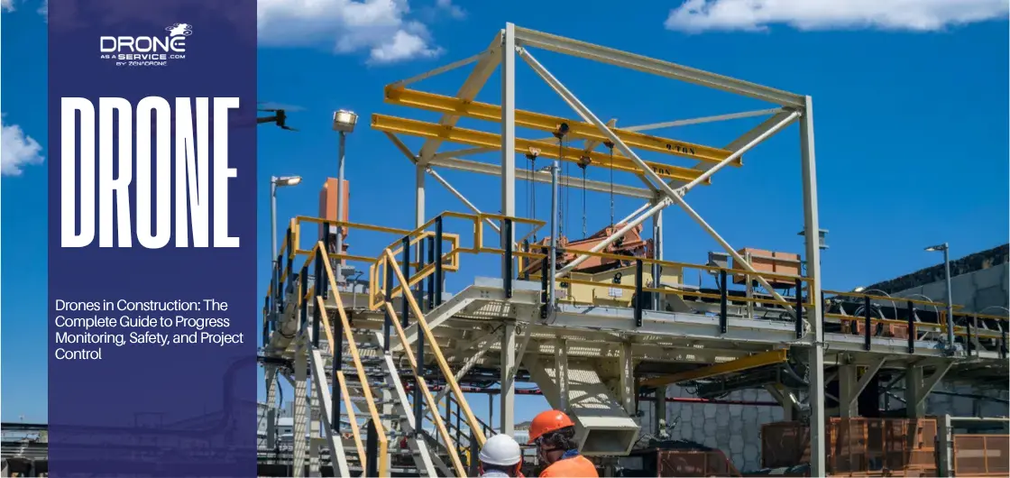
How Drones Are Used in Construction Projects
Practical applications of aerial technology transform how modern enterprises execute complex building projects through high-speed data collection and analysis. Using drones in construction allows for constant construction site monitoring that ensures every phase follows the original engineering design.
Enterprise-level workflows now integrate these systems to capture real-time site data that supports better decision-making for all project stakeholders. These advanced UAV platforms facilitate a seamless construction workflow by providing the high-resolution visual evidence needed for project visibility.
1. Site Surveying and 3D Mapping
Site surveying that used to be done manually has shifted to automated drone mapping technology to get a 60x greater level of precision. Professional geospatial mapping services are currently adopting photogrammetry mapping and LiDAR sensors to create an accurate 3D mapping of the terrain.
Traditional topographic survey methods often require several weeks of field work to cover a large and complex construction project site. Aerial platforms are roughly sixty times faster than ground crews when performing a comprehensive topographic mapping of expansive land areas.
High-resolution georeferenced imagery allows engineers to create a detailed digital elevation model (DEM) for more accurate project site planning. These digital tools support advanced terrain modeling and contour mapping to identify any potential drainage issues before breaking the ground.
Companies use these systems to produce high-quality orthomosaic maps that offer a clear bird’s-eye view of the entire site, as explained in this construction site drone 3D scanning guide.
What is topographic mapping without the ability to perform a rapid volumetric analysis for earthworks planning daily? Managers rely on these digital records to calculate precise stockpile measurement data and manage the movement of all onsite materials.
Proper cut-and-fill computations will make sure the earthwork stage does not exceed the budget target and matches the desired topography of the site. This digital land surveying and mapping method eliminates human error and offers a clean trail of every financial audit.
2. Construction Progress Monitoring and Percent-Complete Tracking
Drone progress monitoring establishes a robust digital documentation trail by performing scheduled flights that capture weekly high-resolution site analytics. These automated missions facilitate percent-complete tracking to ensure that every task aligns perfectly with the established master project schedule.
Managers utilize georeferenced imagery to conduct an as-built vs planned comparison to verify that work matches the design specifications. Integration with platforms like Procore, Autodesk BIM 360, and Oracle Primavera P6 streamlines the process of remote progress tracking.
Weekly progress capture allows for precise excavation monitoring and slab tracking to validate that milestones are being met on time. This real-time milestone tracking feature assists the project leads in knowing the issues of schedule alignment before they even become highly expensive project delays.
Quantity verification using aerial data makes sure that subcontractors receive their payment in the correct amount according to the physical work in the field. Drone mapping technology enables milestone validation, which offers a source of truth for earned value and stakeholder financial reporting.
Regular KPI tracking using these digital tools enhances accountability in the overall construction process by the owners and general contractors. Automated site analytics convert raw images into actionable insights that aid teams in ensuring strict control throughout all project phases.
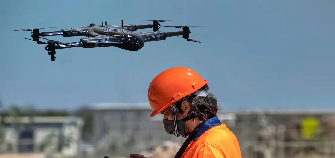
3. Safety, Inspection, and Risk Reduction
Construction safety drones significantly reduce human exposure to hazardous environments by performing remote inspections of high-risk areas and structures. These UAV systems are ideal for inspecting complex roofs, high-rise façades, and scaffolding where traditional manual access is dangerous.
Using advanced FLIR Boson thermal sensors, drones can detect structural anomalies or moisture leaks that are invisible to the eye. Remote sensing applications allow for precise structural inspection in confined spaces without requiring workers to enter potentially unstable or toxic areas.
Aerial safety monitoring supports proactive hazard detection to prevent accidents and ensure strict compliance with the latest OSHA regulations. For example, large-scale projects like the M&T Bank Stadium demolition utilize robotics to maintain a safe distance from debris.
What is topographic mapping if not a tool for identifying unstable terrain that could pose a risk to ground crews? Implementing these safety protocols through drone mapping technology protects the workforce while lowering overall insurance costs for the entire firm.
The Construction Progress Intelligence Framework
Construction progress intelligence provides a comprehensive site monitoring system that integrates aerial data into existing professional project management workflows. This structured drone workflow ensures that stakeholders receive accurate, real-time site data to maintain a strict project schedule and quality.
A combination of these digital insights with solutions such as Autodesk BIM 360, Procore, and Oracle Primavera P6 can improve project visibility. This four-step model converts raw images to actionable intelligence that can be used to aid better decision-making on complex, large-scale construction site management.
Step 1: Standardized Flight Planning
Standardized flight planning is the initial step in successful data collection, after which consistent results are to be obtained weekly or daily. Pilots are using special software to establish accurate route lines that traverse the whole project area to do repeatable topographic mapping.
Following these pre-planned paths guarantees that the georeferenced imagery obtained is consistent in order to compare the as-built and the planned. This step includes intense safety measures that ensure adherence to all the existing Federal Aviation Administration (FAA) drone regulations.
Step 2: Consistent Data Capture
Regular data capture involves the use of advanced sensors such as the DJI Matrice 350 RTK to capture all the information about the site. These high-end UAV systems support remote sensing applications and photogrammetry mapping to document the present condition of the construction.
Consistent aerial surveys offer a digital record for excavation monitoring, slab tracking, and other structural components. This automated construction site monitoring methodology saves on manual labor and offers significantly more site data.
Step 3: Measurable Output (3D models, orthomosaics, volume calculations)
The raw data is processed into measurable outputs such as high-resolution orthomosaics, 3D models, and precise volume calculations. These digital assets are essential for land surveying and mapping tasks, including terrain modeling and creating a contour map.
The raw data is converted into quantifiable results such as high-resolution orthomosaics, 3D models, and accurate volume calculations. These digital resources are critical in land surveying and mapping activities like terrain modeling and the development of contour maps.
Topographic mapping can create a digital elevation model (DEM) to plan earthworks accurately. These deliverables enable quantity verification and percent-complete monitoring to ascertain that subcontractors achieve their particular contractual milestones.
Step 4: Executive Dashboards and KPI Reporting
The last step is ERP integration, which is to inject processed data into executive dashboards and automated KPI reporting to the stakeholders. These project dashboards give a clear picture of the earned value and assist in aligning the budget with the physical progress.
Connecting these digital outputs to cost, schedule, and quality control will ensure that the project is profitable and structurally sound. This intelligence system enables leaders to neutralize threats in time and stay ahead of the competitors using modern drone mapping technology.

ROI of Drones in Construction
Drone ROI construction metrics show that the implementation of aerial intelligence provides a high ROI by saving massive amounts of time and minimizing rework. According to several companies, high-resolution topography mapping and automated site surveys are approximately sixty times faster than ground-based methods.
Digitized construction workflow optimization strategy enables managers to detect design variations before they turn into costly physical errors. 3D mapping can also help to identify grading anomalies in the early stages and save projects hundreds of thousands on possible reconstruction and labor costs.
Quantifiable Financial and Operational Benefits
The transition to aerial data collection typically results in a 30% to 50% reduction in total inspection costs. By eliminating the need for heavy access equipment like scaffolding or cranes, enterprises achieve immediate cost savings and higher productivity gains.
Liability Mitigation and Dispute Resolution
Regular drone progress monitoring establishes a digital record that is invaluable in the case of mitigating liability and difficult disputes. Keeping a visual record of all site milestones guarantees that payment applications are accurate and based on actual physical progress.
The documentation quality minimizes the chances of having legal issues of “who did what and when” in the project lifecycle. This transparency of project management preserves the financial interests of the firm and promotes the culture of responsibility and trust.
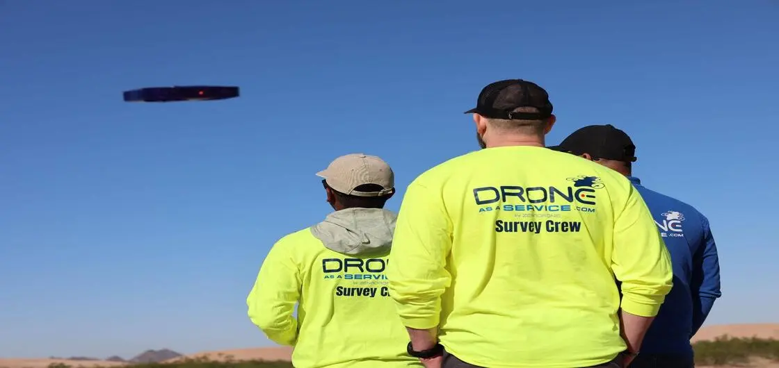
Drone as a Service vs In-House Drone Programs
Choosing between Drone as a Service (DaaS) and developing in-house drone programs depends on your firm’s specific long-term scalability and capital requirements. Managed drone services allow companies to treat aerial intelligence as an operational expense (OpEx) rather than a large capital expenditure.
An in-house program has real-time response times, yet costs a substantial initial investment in advanced hardware such as Skydio X10. On the other hand, outsourcing offers access to professional pilots and the current drone mapping technology without having to maintain the equipment constantly.
Strategic Scalability and Managed Drone Services
Drones-as-a-service models are especially efficient when it comes to scalable drone operation, which would have to cover multiple geographic areas simultaneously. Managed providers deal with the complicated logistics of flight scheduling and making sure that all the data taken at real-time sites is presented to professionals.
In-house teams do not easily match rapid hardware cycles and changing Federal Aviation Administration (FAA) drone regulations. By outsourcing the construction UAV solutions, you can be assured that your project data remains high-quality, and your internal team will concentrate on construction.
Balancing Control with Operational Efficiency
While in-house drone programs offer total control over flight schedules, they often divert focus away from the core construction workflow. Managed services provide specialized expertise in photogrammetry mapping and LiDAR, delivering survey-grade results that are ready for immediate BIM integration.
While in-house drone programs provide complete control over flight schedules, it can be easy to lose sight of the main construction process. Managed services offer expertise in photogrammetry mapping and LiDAR, and offer survey-quality outputs that can be easily integrated into BIM.
Companies that want to take a middle ground will usually begin with drone as a service to test the ROI before investing in a full-fledged fleet. This strategy reduces the financial liability but enables the organization to develop the required digital architecture of future autonomous sites.

Compliance and Regulatory Considerations
It is important to navigate the environment of construction drone compliance in order to have a legal and safe UAV operation on site. All pilots must be provided with a current FAA Part 107 pilot certification by professional teams to operate within the national airspace.
In 2026, operations must comply with Remote ID requirements to enable real-time monitoring of the Federal Aviation Authority (FAA). This digital identification holds each mission responsible and compliant with the most recent established standards of drone safety regulations regarding project locations.
Companies should implement internal safety protocols that exceed basic requirements to mitigate corporate liability further and prevent site accidents. These protocols include mandatory pre-flight risk assessments and maintaining detailed digital maintenance logs for every UAV in the fleet.
Although the Department of the Interior (DOI) is concerned with high-security infrastructure, commercial projects have to focus on data privacy and secure transmission. By keeping up to date on the next BVLOS waivers, the companies will be able to scale their operations safely as the regulatory framework is constantly developing.

Future of AI and Autonomous Construction Monitoring
AI construction drones are no longer the simple version of data collection, but the modern systems that can carry out advanced predictive analytics. These machine learning drones are now able to detect any potential hazards of the site and estimate project delays before they affect the budget.
By combining AI-powered drones with digital twin technology, it’s possible to conduct a real-time comparison of the as-built and planned models. This autonomous site monitoring offers greater accuracy to determine structural variations or to recognize important maintenance requirements.
- Hazard Detection: AI-powered detection of unsafe worker behaviors or site conditions in real-time by using advanced computer vision and machine learning.
- Delay Prediction: Algorithmic analysis of progress rates to forecast completion dates and identify potential bottlenecks in the schedule.
- Predictive Maintenance: A method whereby the fatigue or moisture in the building envelope materials is detected early to avoid the structural degradation cost in the long term.
Permanent drone-in-a-box solutions installed on large project sites are becoming the industry standard with autonomous drone operations. These systems automatically roll out to carry on planned inspections and maintain a continuous flow of quality data to the stakeholders.
Using drone-robot operations enables aerial platforms to communicate directly with ground-based robotics in order to provide more efficient hazard mitigation. Firms such as 3DR are at the forefront of this transformation to complete integration of autonomous site monitoring to enhance efficiency and worker safety.
Using these advanced technologies ensures that the construction progress intelligence framework remains proactive rather than reacting to site issues. The future of the industry lies in these self-sustaining systems that provide total visibility into every project phase.

CONCLUSION
Drones in construction have fundamentally shifted the world of digital construction management through offering unprecedented degrees of progress visibility. These UAV systems provide real-time project reports that will enable stakeholders to make data-driven decisions and sustain a safe environment.
By integrating UAV construction monitoring into the daily workflow, firms achieve a unique balance of operational efficiency and safety. The fusion of high-resolution topographic mapping with autonomous site monitoring ensures that every project phase remains under strict control.
Investing in advanced progress intelligence is no longer optional for firms aiming to lead in the competitive 2026 market. Utilizing professional geospatial mapping services ensures that your project benefits from the highest standards of accuracy and regulatory compliance.
Ready to transform your site management with a construction progress monitoring service provider designed to provide quantifiable outcomes? Contact our expert team today to discover how our tailored drone mapping technology can optimize your next major build.
(FAQs)