Expanding Our Reach. Elevating Your Possibilities.
Elevate What’s Possible
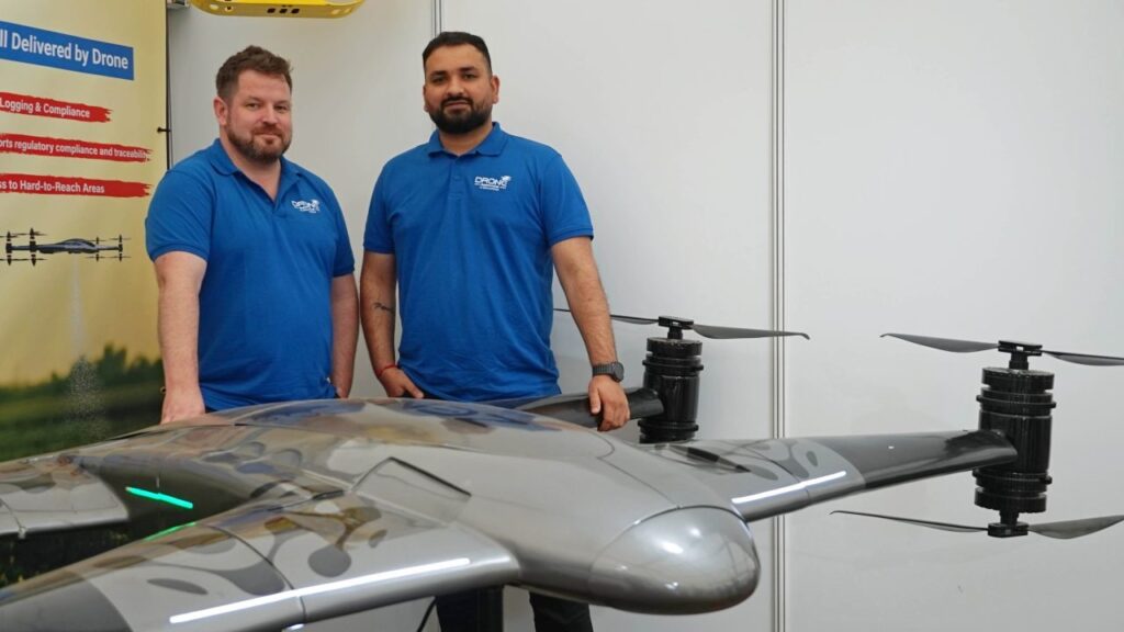
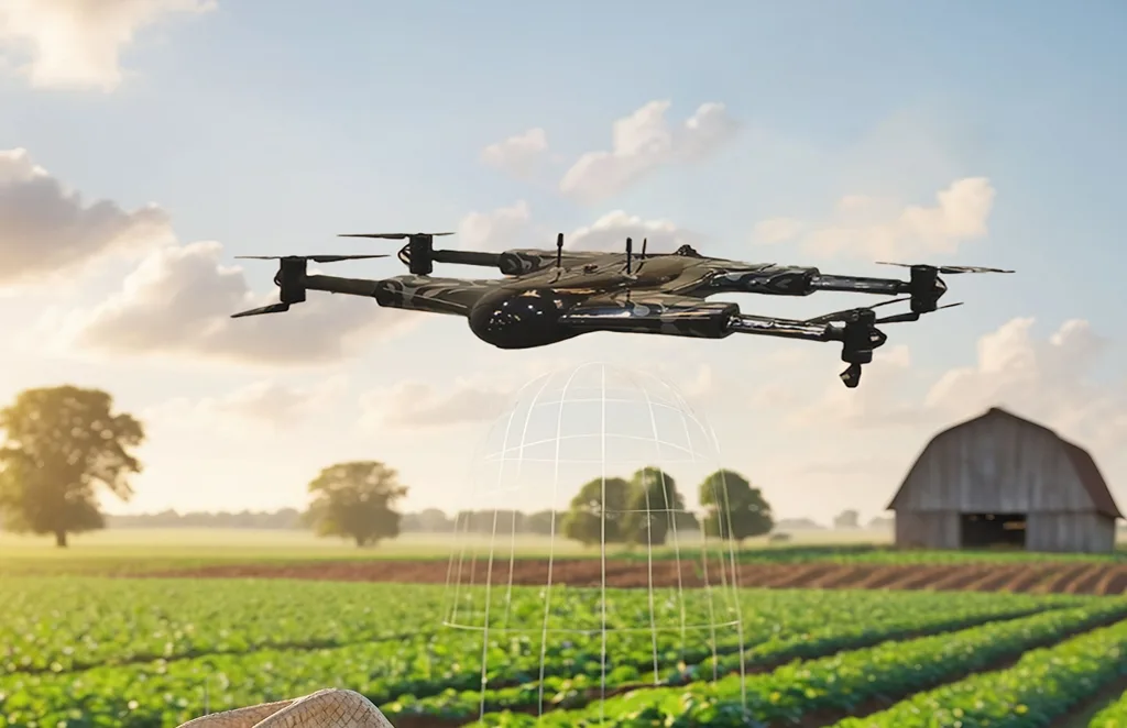
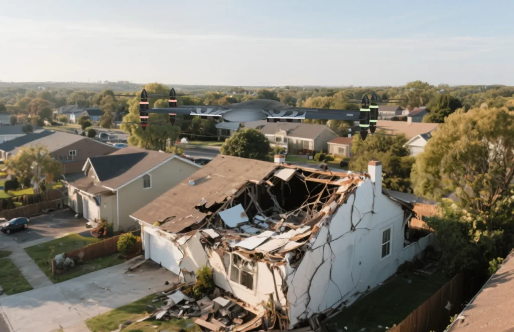
Drone as a Service is devoted to revolutionizing industrial surveillance, maintenance, and safety complianceAt Drone as a Service, we bring aerial innovation to Ireland’s industries. From farms to infrastructure, telecoms to renewables, our certified team delivers safe, accurate, and reliable drone operations nationwide. We make drone technology simple by handling the flights, data, and insights so you can focus on results.
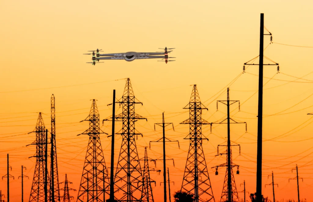
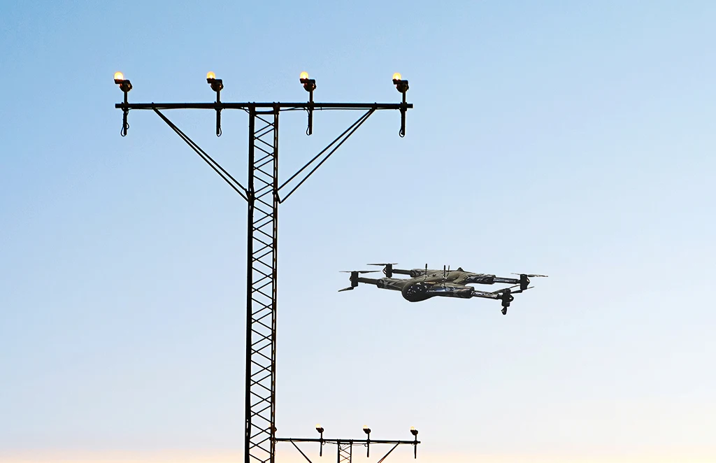
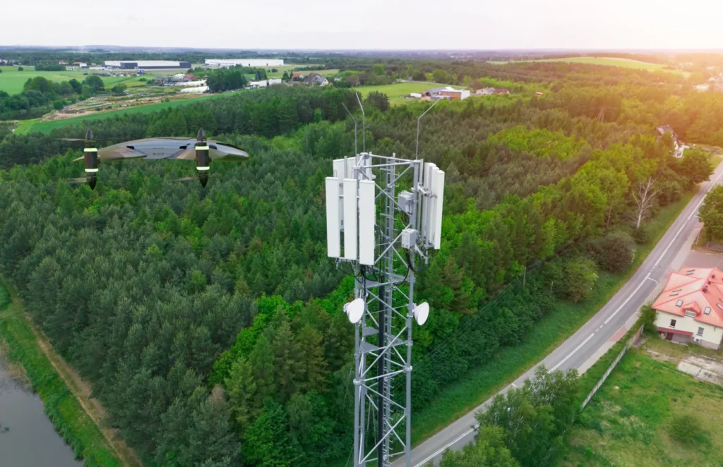
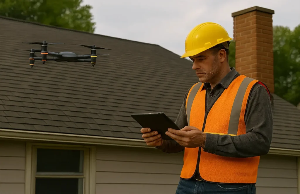
Wind, solar, and hydro asset inspections using high-resolution and thermal imagery, helping Ireland’s renewable sector maintain performance and compliance.