Managed drone operations give businesses access to high-quality aerial data through trusted Drone as a Service providers, supporting smarter decisions....
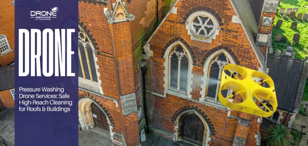
Safe, high-reach cleaning: Drone pressure washing eliminates the need for ladders, scaffolding, and fall risks while cleaning roofs, facades, siding,...
TL;DR Drones in construction enable faster, more accurate topographic mapping, 3D modeling, and real-time site data collection compared to traditional...