Williamsburg, VA – Cardinal
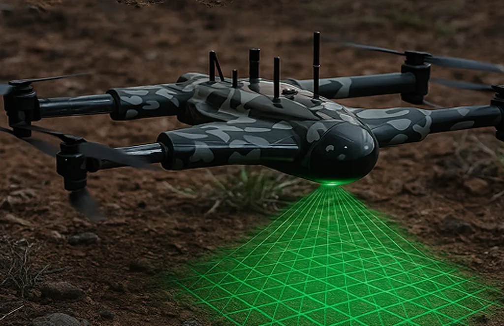
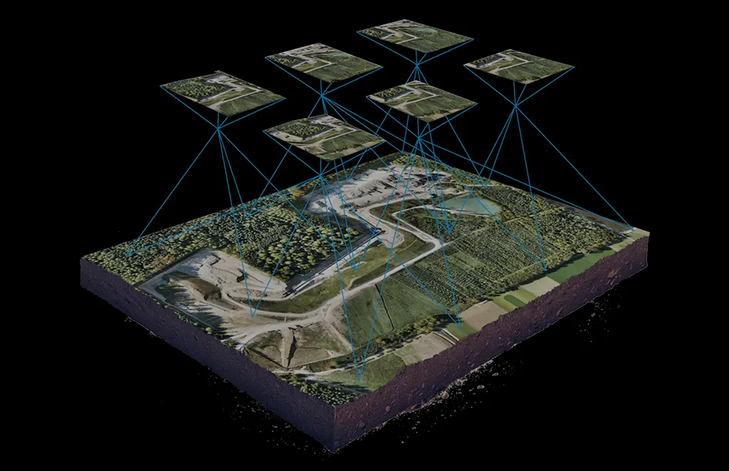
Our Williamsburg hub offers drone solutions for surveying, construction, and environmental management. With specialized LiDAR and photogrammetry capabilities, we provide precise data for engineering firms and local government projects.
Services Offered
Unlock the power of precision with our Drone as a Service solutions. From raw terrain to refined insights, our drone-powered offerings accelerate every phase of your land development projects.
About Our Williamsburg Office
Our Williamsburg team supports Virginia’s engineering and development community with drone-based surveying, mapping, and inspections. By leveraging LiDAR and high-resolution imaging, we empower contractors, architects, and municipalities to make informed project decisions with precision data.
Get In Touch
Let’s elevate your operations.
Whether you’re curious about our drone solutions or ready to launch a project, our team is just a message away.
Item #1
Item #2
Item #3


