Land Survey
Perform fast, accurate drone land surveys for property mapping, site planning, and boundary verification.

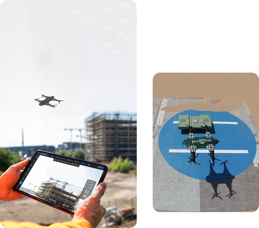
Helping Companies Inspect, Monitor, and Survey with Drones
DaaS uses drones to collect aerial images, video, and data. We help industries inspect buildings, scan fields, and monitor large areas without needing manual labor on-site.
Use Drones to Save Time and Money
Instead of sending workers to inspect roofs, scan crops, or monitor property, DaaS sends a drone with self-flying capabilities. We help businesses with these tasks by speeding things up securely and cost-effectively. Our platform delivers precise data and straightforward reports to help you act quickly.
Faster Inspections
Drones can scan a large area in minutes. There is no requirement for scaffolding or ground teams.
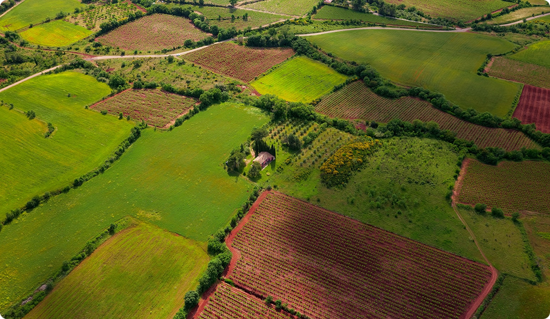

Fewer Risks
Avoid putting workers in dangerous places. Our drones can safely check high places or hard-to-reach areas.

Lower Costs
You don’t need to hire large teams or rent special equipment. One drone flight replaces multiple site visits.

Easy to Scale
Whether you're scanning one building or dozens of farms, our services adjust to fit your needs.

Instant Results
Our system sends you photos, maps, and 3D models when the drone finishes its job.
Industries That Use DaaS Drone Services
We help many industries safely, quickly, and accurately collect the needed data.
- Drone Mapping for Land and Property
- 3D Laser Scanning for Construction
- Concrete Damage Scanning
- Solar Panel Inspection
- Crop Monitoring and Farm Scanning
- Building and Road Surveys
- Live Event and News Coverage
Each drone flight is guided by a skilled operator and AI software for precise results.
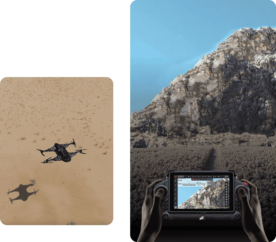
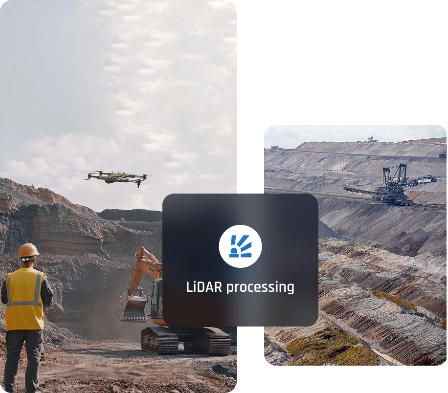
What Makes DaaS Different
Drone services should be simple. Our system lets businesses of any size collect, manage, and use drone data without needing a tech expert.
We give developers, drone pilots, and business owners a shared platform. You get full access to maps, 3D models, and live updates in one place.
Start Using Drones for Your Business Today
Let drones handle your inspections, monitoring, and site surveys. DaaS helps you do more with fewer people, lower costs, and better data.
Request a demo today and see how it works for your team.
Frequently Asked Questions (FAQs)
DaaS Drone Services for Land Surveying
How does DaaS use drones for land surveying?
DaaS uses drones with advanced mapping and scanning technologies to capture aerial images and data. These images are processed into accurate maps and 3D and terrain models, enabling efficient and precise land surveying for various industries.
What types of data can drones collect during a land survey?
Our drones collect high-resolution imagery, elevation data, and 3D models of the land. These can be used for site analysis, design planning, and monitoring land changes over time.
How accurate are DaaS drone surveys?
What industries can benefit from drone surveying services provided by DaaS?
Our drone surveying services benefit construction, agriculture, renewable energy, and urban development industries. DaaS provides tailored solutions for land surveying, whether for farms, construction sites, or industrial zones.
How fast can DaaS complete a land survey?
Services Offered
Unlock the power of precision with our Drone-as-a-Service solutions. From raw terrain to refined insights, our drone-powered offerings accelerate every phase of your land development projects.

Concrete Scanning
Precision drone scanning to detect structural defects…
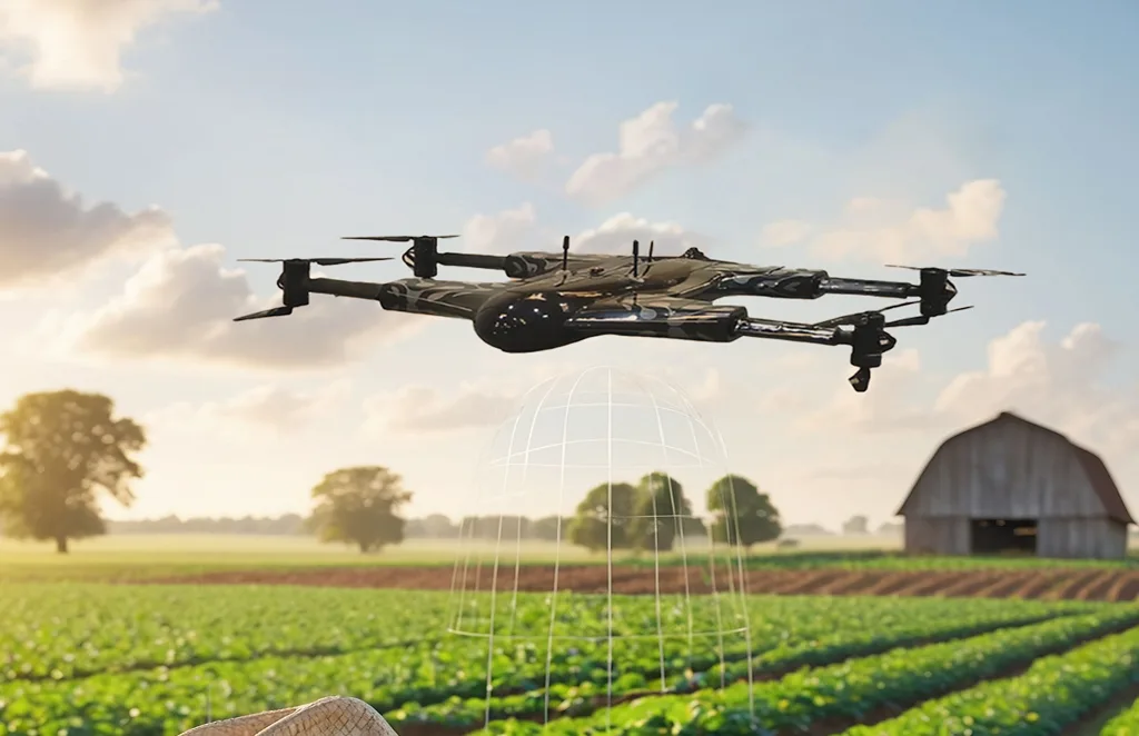
Agriculture and Farm
Crop health monitoring, yield estimation, and farm…
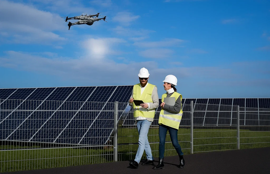
Solar Panel Drone Inspection
Efficient thermal imaging and analysis…

Construction Progress
Update
Track construction milestones with aerial…
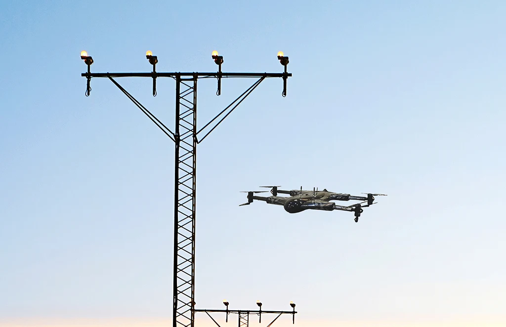
Power Line
Inspections
Safe, remote inspections of power infrastructure…
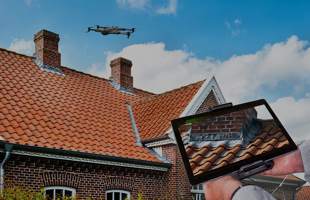
Roof Survey
Inspection
Quick and detailed inspections…
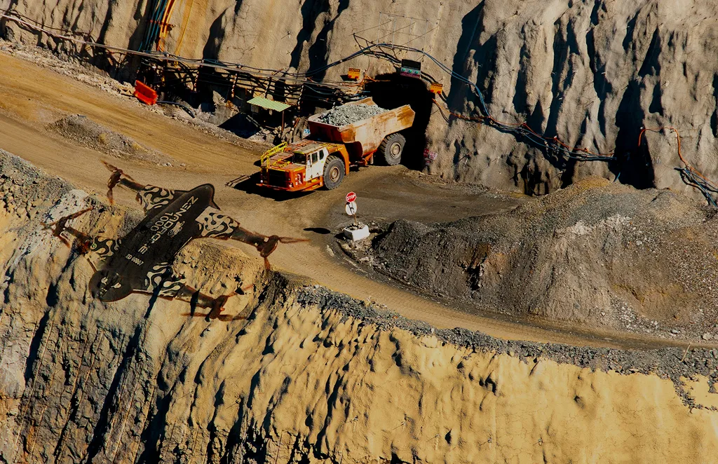
Mining, Quarries &
Aggregates
Monitor operations, measure…
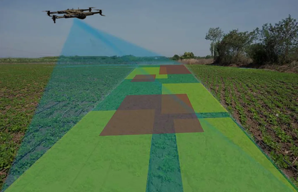
Land Survey
Efficient, high-accuracy surveys for boundary mapping and…
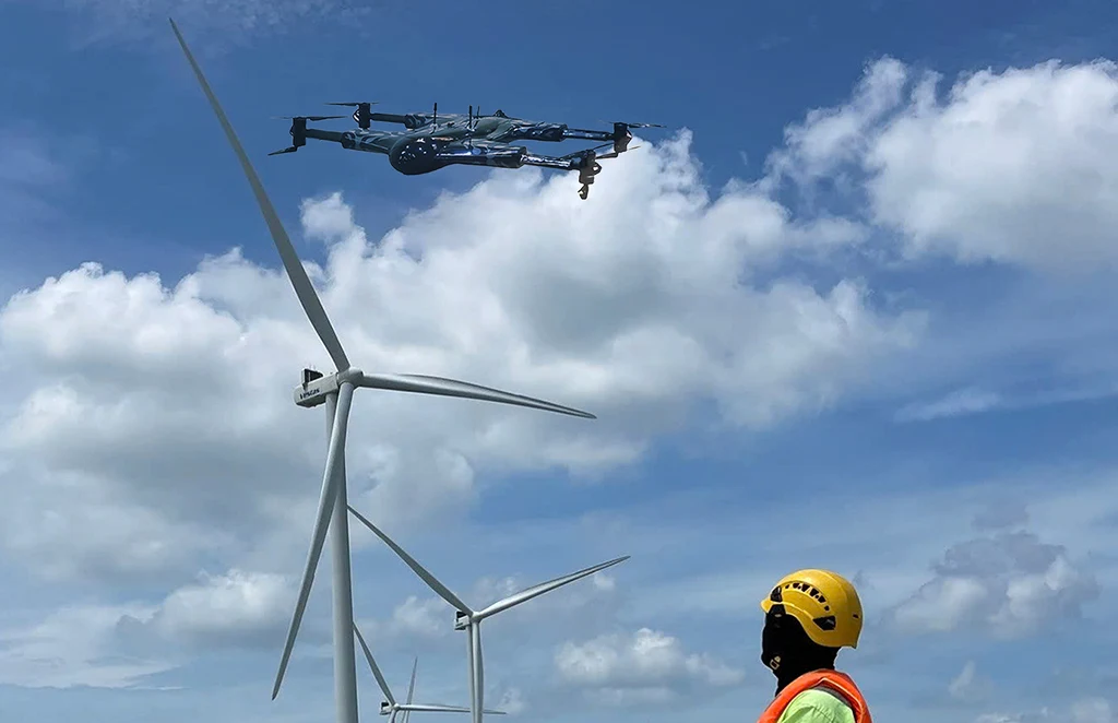
Renewable Energy Industry
Drone solutions tailored for wind farms, solar…
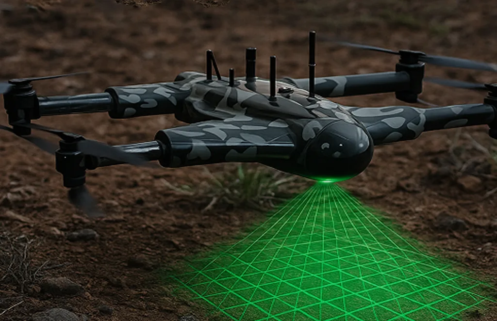
3D Scanning Services
Accurate 3D modeling of structures and landscapes for…
Archaeology
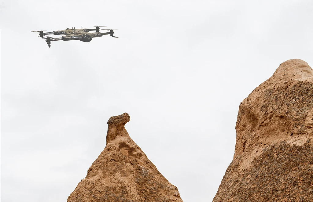
Non-invasive drone mapping to uncover and document…
City Planning
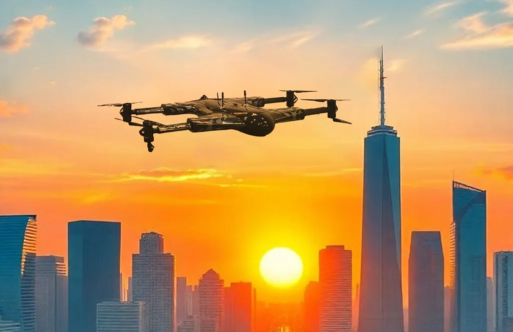
High-resolution imagery and data to support infrastructure…

Multispectral Terrain Mapping
Multi-band imaging for vegetation analysis…
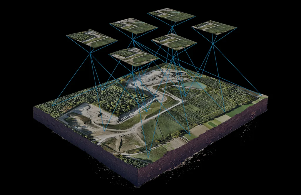
Terrain & Elevation Model
a Generate detailed terrain and elevation …
Get In Touch
Let’s elevate your operations.
Whether you’re curious about our drone solutions or ready to launch a project, our team is just a message away.


