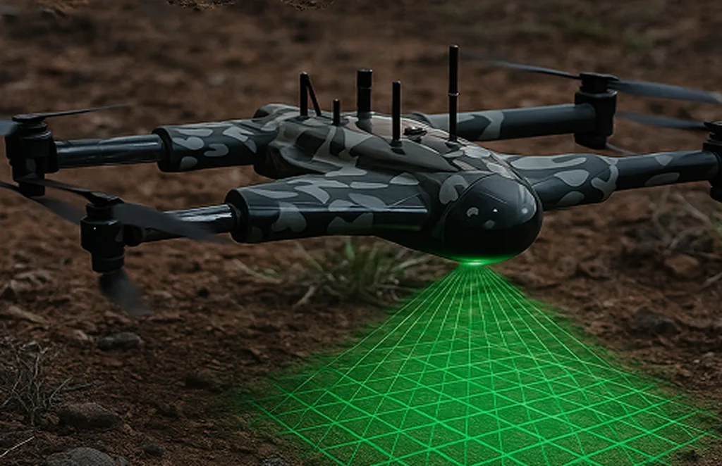
Drone as a Service

Jacksonville, FL – A&J Land Surveyors

Our Jacksonville office provides advanced drone surveying and inspection services across Florida’s coastal and inland regions. From land development surveys to aerial asset monitoring, we deliver high-accuracy drone data to support construction, utilities, and government projects.

Services Offered

Unlock the power of precision with our Drone-as-a-Service solutions. From raw terrain to refined insights, our drone-powered offerings accelerate every phase of your land development projects.
3D Scanning Services

Accurate 3D modeling of structures and landscapes for…

Archaeology

Non-invasive drone mapping to uncover and document…

City Planning

 High-resolution imagery and data to support infrastructure…

Multispectral Terrain Mapping

Multi-band imaging for vegetation analysis…

Terrain & Elevation Model

Generate detailed terrain and elevation models…

Concrete Scanning

Precision drone scanning to detect structural defects…

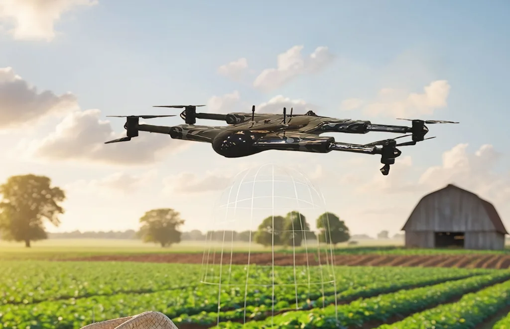
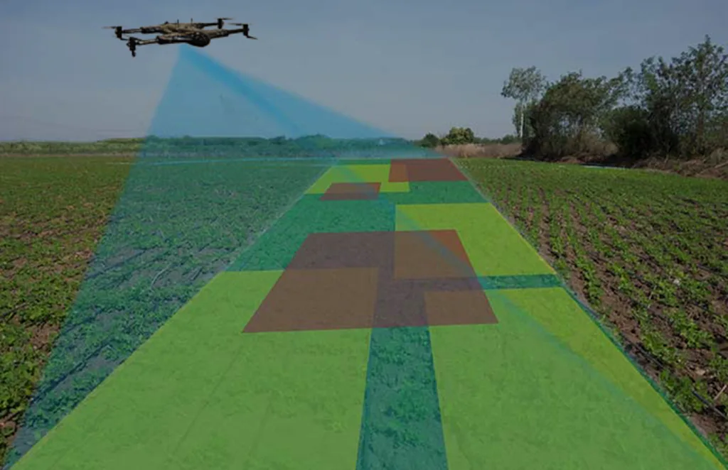
Agriculture and Farm

Crop health monitoring, yield estimation, and farm…

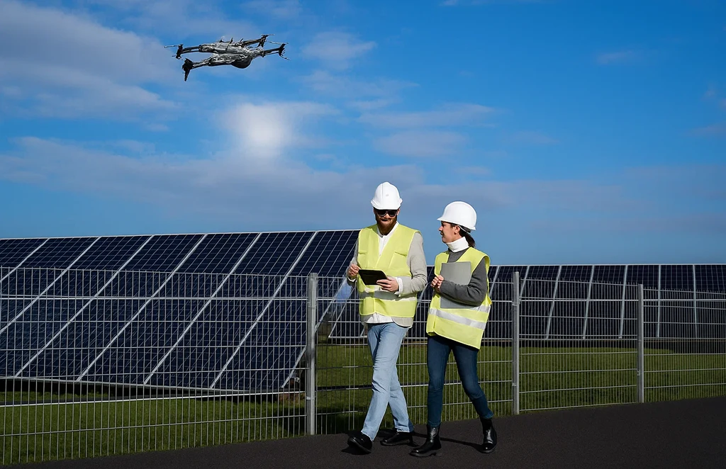
Solar Panel Drone Inspection

Efficient thermal imaging and analysis…

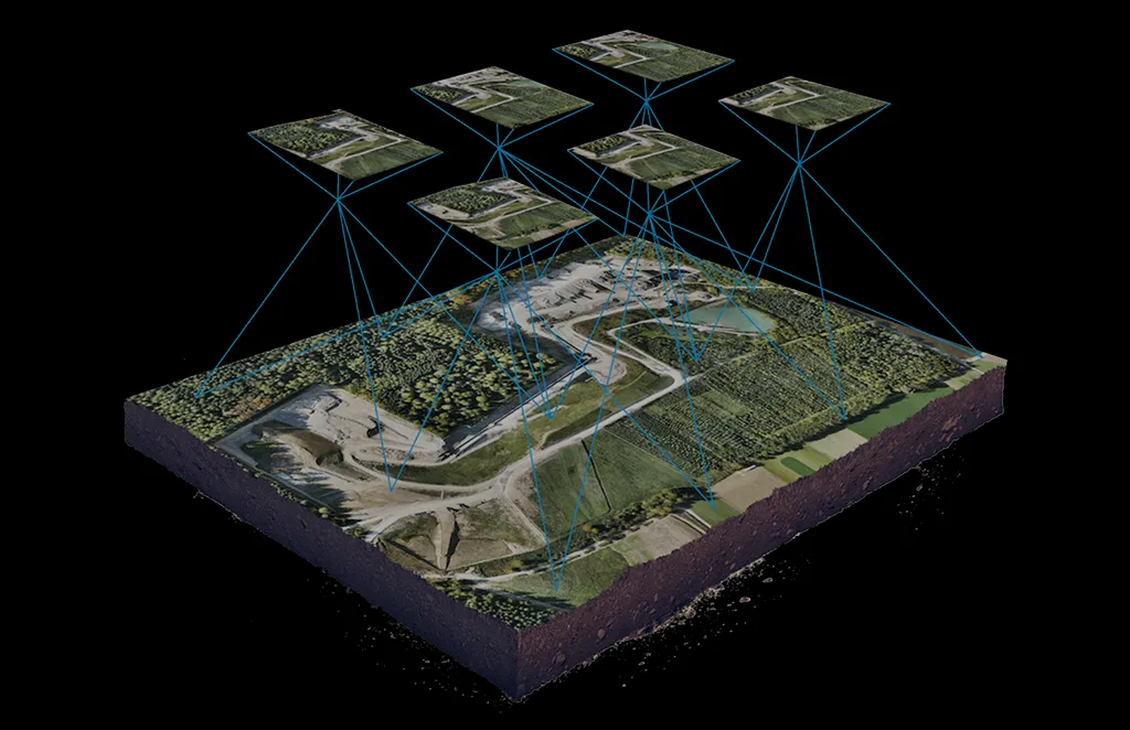
Drone capturing aerial mapping data for construction project analysis

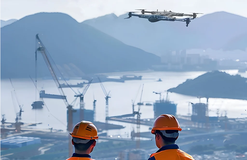
Construction Progress
Update

Track construction milestones with aerial overviews…

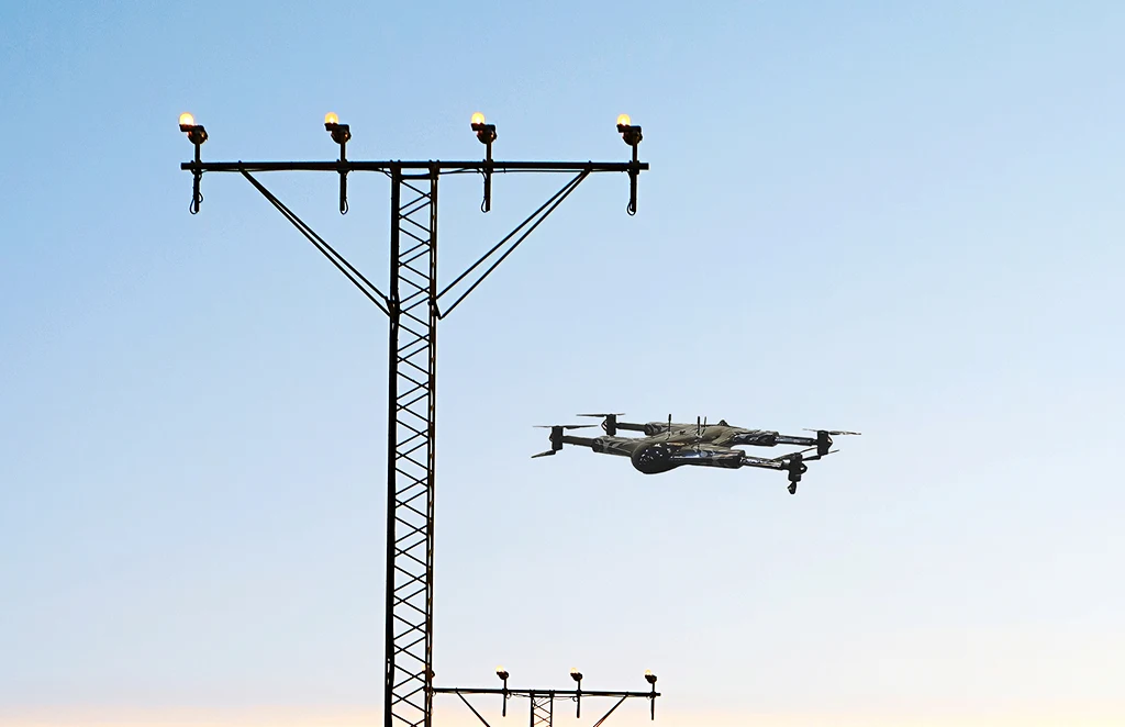
Power Line
Inspections

Safe, remote inspections of power infrastructure to detect…

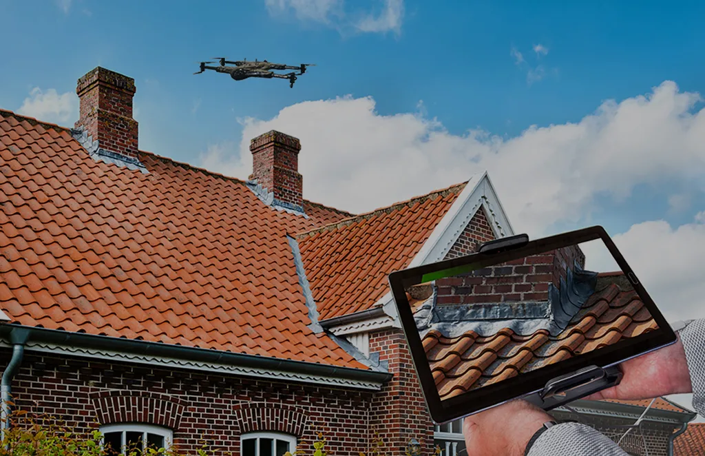
Roof Survey
Inspection

Quick and detailed inspections of rooftops for damage…

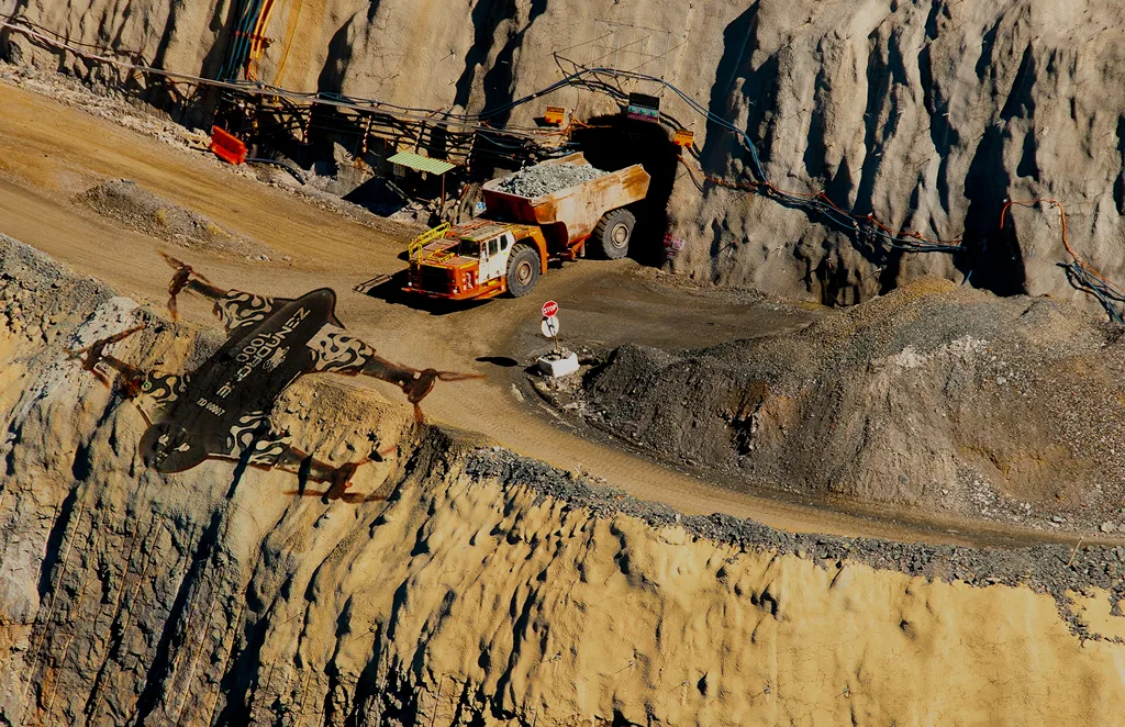
Mining, Quarries &
Aggregates

Monitor operations, measure stockpiles, and improve site…

Land Survey

Efficient, high-accuracy surveys for boundary mapping and…

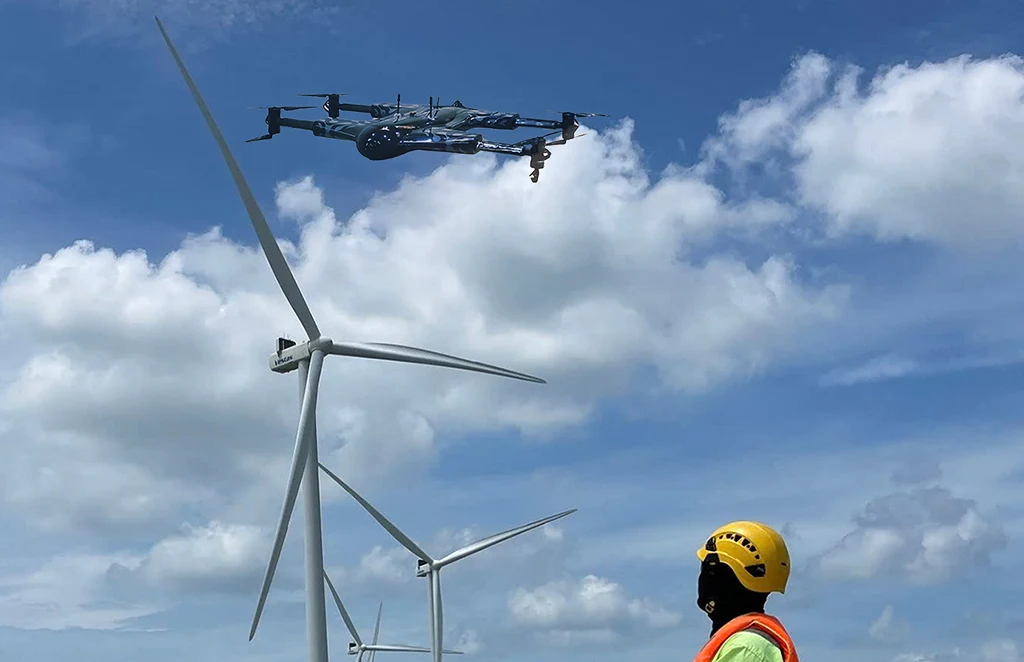
Renewable Energy Industry

Drone solutions tailored for wind farms, solar…

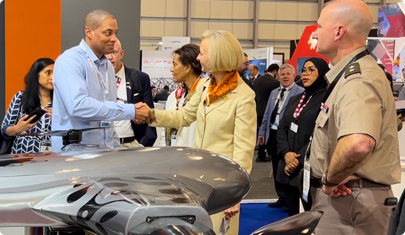
Man and woman shaking hands over an aircraft model at a trade show

About Our Fort Pierce Office

Located in Northeast Florida, our Jacksonville office specializes in drone-enabled land surveying and inspection services. We assist builders, developers, and government agencies with accurate aerial data to streamline construction projects, manage coastal development, and improve infrastructure planning.

Get In Touch

Let’s elevate your operations.

Whether you’re curious about our drone solutions or ready to launch a project, our team is just a message away.


    Item #1