Optimize urban planning with aerial mapping, enhanced imagery, and geospatial data.
A BETTER WAY TO DESIGN COMMUNITIES
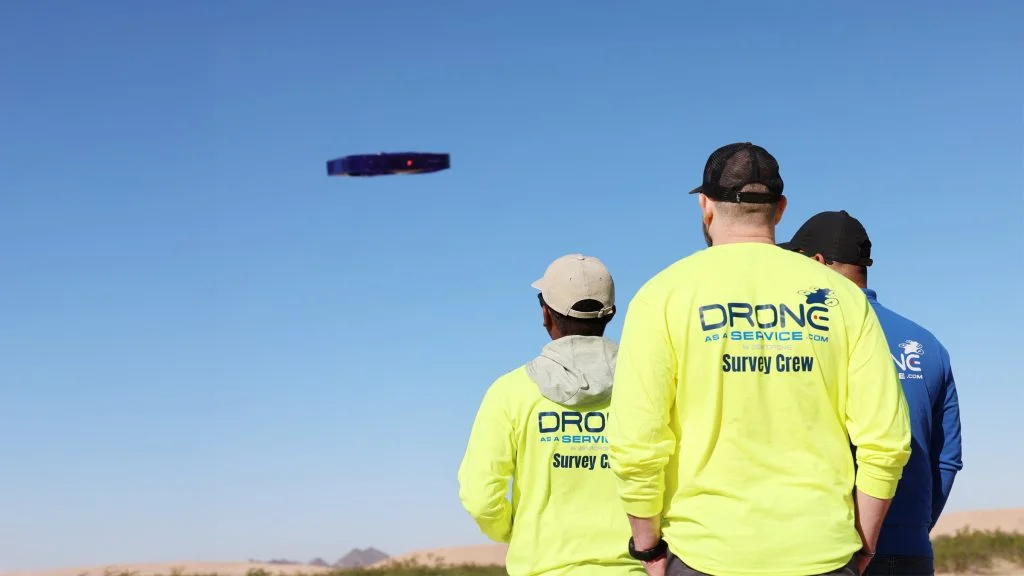
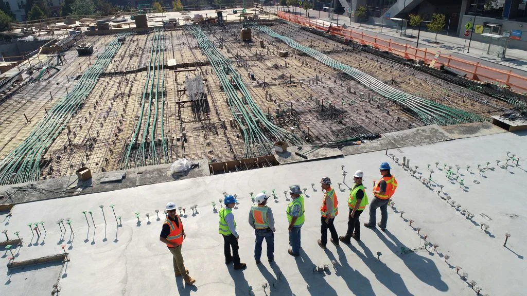
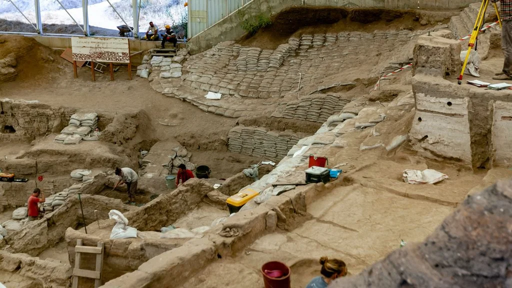
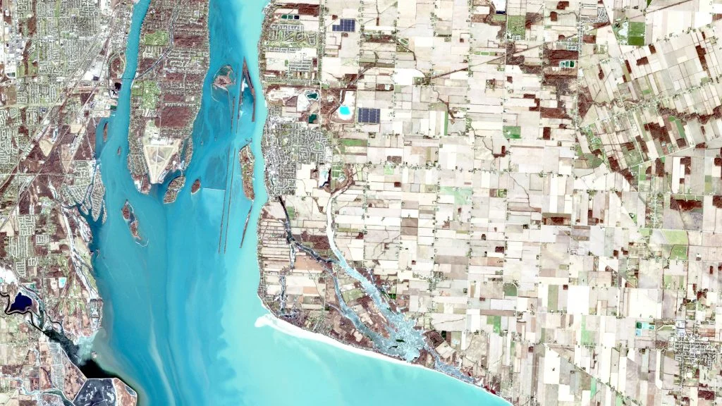
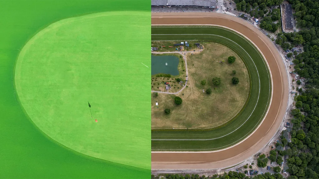
Drone as a Service is the optimal solution for designing the communities of tomorrow. Our fleet of Geographic Information System (GIS) drones enables planners to comprehensively assess landscape features and usage, infrastructure design and condition, traffic patterns, emergency response plans, pollution levels, and more. We provide flexibility, scalability, and best-in-class accuracy, offering unparalleled insights for any urban planning project.
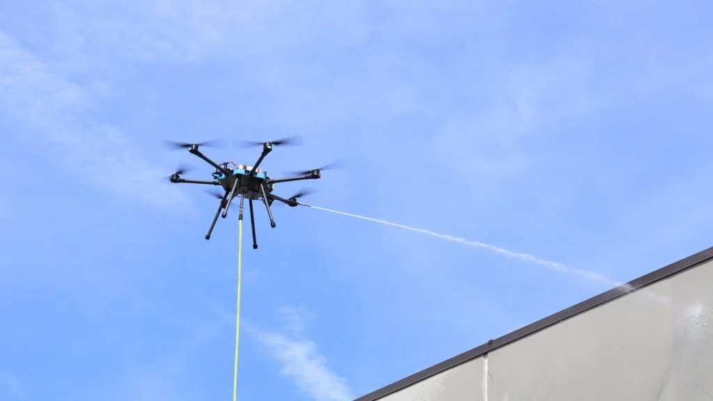
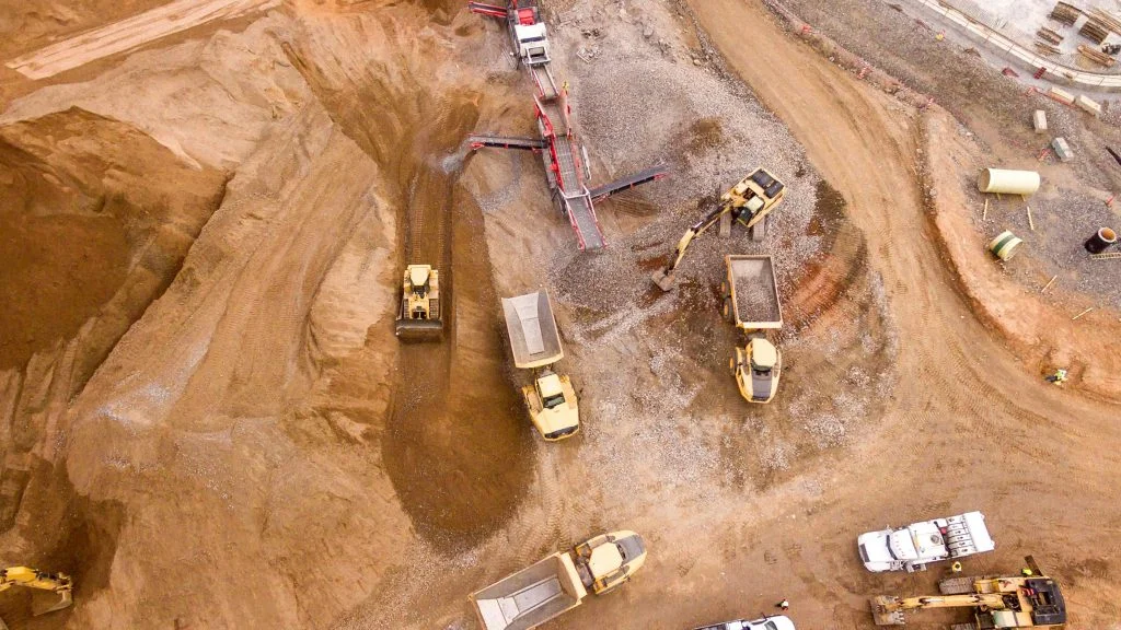
IDEAL FOR URBAN ENVIRONMENTS
Our drones connect to standard water supply systems and can power or soft wash with various cleaning solutions. Capable of operating 100+ meters in the air, our drones are equipped with 4K cameras to accurately assess project condition and progress. Other drone technology features include stable flight, obstacle avoidance, and long-endurance batteries.
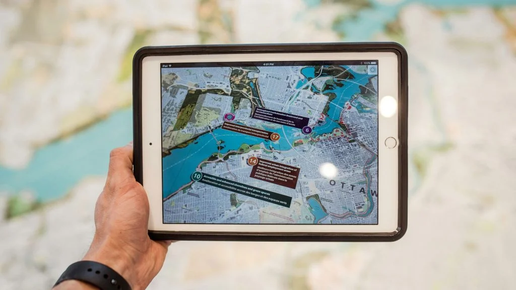
PLANNER-FRIENDLY TECHNOLOGY
Drone as a Service provides planners with state-of-the-art data, facilitating ultra-precise 3D models and orthomosaic maps. The drones’ 4K cameras record high-definition, geotagged images and videos, while LiDAR, thermal imaging, and multispectral sensors collect layers of information that enable deep analysis and insightful planning. Our drone technology integrates seamlessly with urban planning software, and we provide experienced end-to-end data management services.
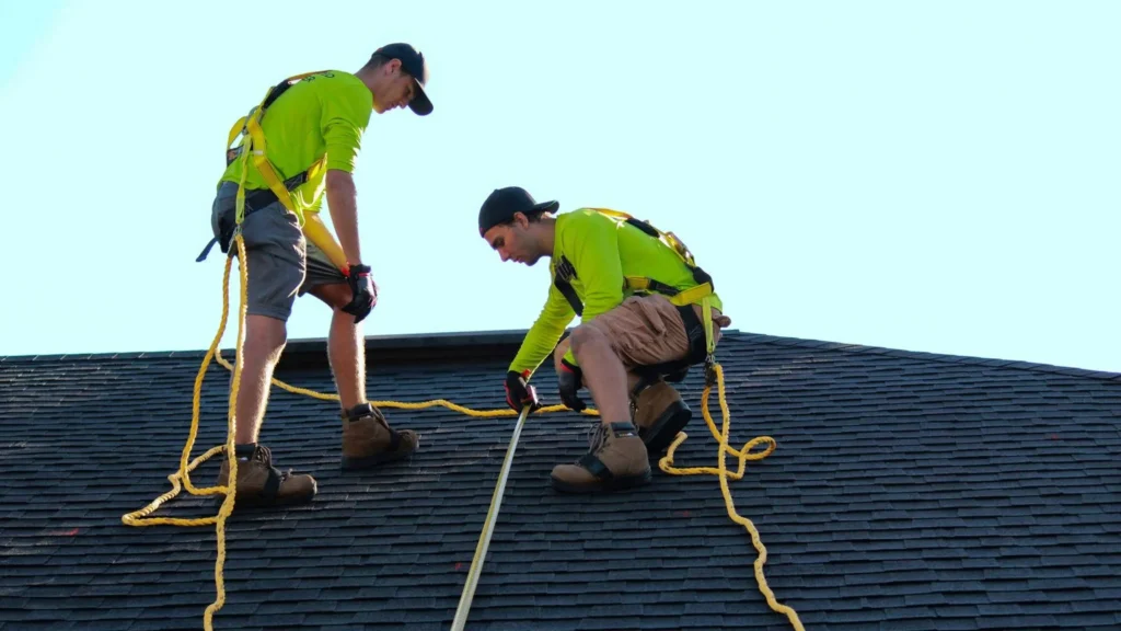
PRIORITIZING SAFETY
Our drones can access environments that may be dangerous to humans, including extreme heights, busy roads, and difficult terrain. Drones can also safely assess damaged or compromised infrastructure, eliminating risks and liabilities. Keeping your workforce safe is one of our key priorities.