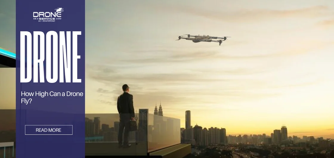
How High Can a Drone Fly? Legal & Technical Limits
Drones behave differently at high altitudes and in windy conditions. Wind resistance determines how well a drone stays stable when gusts push against it, and small hobby drones often struggle while professional models use stronger motors and larger rotors to stay steady.
It’s also essential to separate legal limits from technical ceilings. Most countries restrict drones to about 400 feet above ground, while the aircraft itself may be capable of climbing much higher in still air — sometimes reaching several thousand feet in ideal conditions. How high a drone can fly depends on both government regulations and engineering.
Key factors that shape maximum altitude:
- Wind resistance & motor power
- Legal restrictions vs. technical capability
This article explains both limits so pilots understand what is possible — and what is allowed.
Understanding Drone Altitude Limits (Legal Regulations)
Every country sets a drone altitude limit to protect airspace. In the US, Part 107 states a maximum of 400 feet AGL. This creates a buffer below altitudes used by many manned aircraft. In the EU, EASA directs drones to stay below 120 meters and in visual line of sight. Operators who need to fly higher must request authorization or a waiver.
Airspace class matters — drones normally fly up to 400 feet in uncontrolled Class G airspace, and pilots must also plan for transmission range limits when mapping or inspecting. Flying in controlled airspace near airports requires permission. No-fly zones include airports, military bases, and some protected areas. Apps and maps show restricted airspace and no-fly zones. These tools help pilots plan safe missions.
Visual line of sight, VLOS, is required almost everywhere. You must keep the drone in sight unless you have special permission. This rule means you cannot send a drone beyond a hill or building you cannot see. VLOS and altitude rules work together. Most consumer drones have soft locks near 400 to 500 feet. These locks use GPS and sensors to prevent accidental violations.
If you exceed the legal altitude, risks multiply. You may intrude on manned aircraft airspace. That is dangerous for everyone. Regulators can fine or penalize unauthorized flights. For professionals, breaking limits can void insurance. For hobbyists, enforcement can mean fines or confiscation. Always stay within the local drone altitude limit.
Altitude vs Range: What’s the Difference?
Altitude and range describe two different limits of a drone’s performance. Altitude refers to how high a drone can climb, while range describes how far it can travel horizontally. Both are influenced by battery, signal strength, and environmental conditions, but they affect flight in different ways. The table below highlights the key differences.| Altitude | Range |
|---|---|
| How high a drone flies (vertical distance) | How far a drone travels horizontally from the pilot |
| Limited by airspace rules and lift capability | Limited by battery life and signal strength |
| Affects signal strength as you climb (may weaken controller link) | Affects whether the drone can return or maintain control at distance |
| Higher climbs use more power; cold and extra payloads reduce climb performance | Batteries drain with use; payload and wind reduce horizontal endurance |
| Often legally capped (~400 ft in many countries) | Not legally capped in the same way but constrained by practical limits |
| Common misconception: higher altitude = longer range (usually false) | Reality: climbing consumes energy and often reduces usable flight time and range |
| Example: drone can climb to 400 ft but may still have many meters of forward range left | Example: long-range drones prioritize battery and signal systems to maximize horizontal distance |
Technical Maximum Altitude (Hardware Limitations)
Every aircraft has a service ceiling. The service ceiling is an altitude where climb rate slows near zero. Thin air reduces propeller thrust and motor efficiency. Most consumer quadcopters will struggle well below 20,000 feet. Propellers depend on dense air to generate lift. At high altitude they lose effectiveness.
Manufacturers may list a recommended launch altitude above sea level. Many small drones are rated for launch under 8,000 feet. In very thin air, a drone cannot stabilize reliably. Experimental and solar-powered high-altitude drones are exceptions. They have large wings and lightweight designs for high-altitude flight. Ordinary quadcopters simply do not perform well near the stratosphere.
Some long-endurance drones, built for scientific missions, cruise at high altitude. Those craft use efficient aerodynamics and optimized power systems. They differ greatly from consumer models. Understanding the service ceiling helps pilots know real-world limits. Even when a drone could theoretically climb higher, regulators and safety stop most flights well below that.
Factors That Affect Drone Altitude Performance
Several factors influence how high your drone can climb:
- Battery health and temperature: Cold or worn batteries provide less power. Low efficiency reduces thrust and climb rate.
- Weight and payload: Extra weight needs extra thrust. Cameras or cargo shorten climb time and flight time.
- Wind speed and air pressure: Winds increase with height and demand more power. Wind shear and turbulence can buffet the drone.
- Firmware and software limits: Many drones enforce altitude locks. These limits reflect safety and legal settings. Custom firmware may override locks but increases risk.
Two pilots flying the same model can see different ceilings. A fresh battery and calm air produce a higher ceiling. An old battery and gusty wind lower the ceiling.
Best High-Altitude Drones in 2026 (Top Picks)
For professionals who require greater performance, some models stand out. Below are three notable drones built for stability and endurance.
ZenaDrone 1000
One example is a medium carbon-framed octocopter for heavy lift and long missions, which offers a balance of payload capability and endurance. It carries sensors, cameras, and cargo of substantial weight. With proper permissions, it can climb to high altitudes. It offers long endurance and robust wind resistance. Flight ceiling can reach much higher than hobby models. Typical use includes mapping, long surveillance, and cargo delivery.
IQ Nano
A compact scanning drone optimized for indoor and site tasks. It focuses on precision rather than altitude. Its strength lies in stability for tight spaces. It uses a small, efficient battery for quick scans. Flight time suits short missions and inventory mapping. It is not meant for extreme heights.
IQ Square
A medium quadcopter for outdoor inspections and mapping. It supports cameras and LiDAR payloads. It is stable and offers collision avoidance. It can run tethered for extended missions. Untethered flights last for typical mission lengths. It is ideal for surveys, power line inspection, and site mapping.
| Model | Flight Ceiling (practical) | Max Flight Time | Best Use |
|---|---|---|---|
| ZenaDrone 1000 | Very high with permissions | 24+ hours | Long-endurance survey, cargo |
| IQ Nano | Regulated limit or indoor use | ~20 minutes | Indoor scanning, inventory |
| IQ Square | Up to regulatory limit | ~20 minutes | Inspections, mapping |
All commercial high-altitude drones usually obey the legal ceiling. Models built for endurance can physically reach far higher altitudes. Regulations and safety standards still govern typical use.
Why Flying Too High Can Be Dangerous
Flying above the legal ceiling increases many risks. Signal loss becomes more likely with distance and altitude. A weak radio link can cause drift or automatic failsafes. GPS accuracy can suffer at steep satellite angles. Navigation drift may follow.
Cold temperatures and wind shear can overwhelm a drone. Batteries discharge faster in cold air. Strong winds at altitude demand more motor power. Motors can overheat or fail under extreme load. A small drone can become unstable quickly.
Air collision risk grows with altitude. Manned aircraft often fly above 500 feet. Drones that climb too high may enter manned traffic altitudes. Even visible lights do not guarantee avoidance. Regulatory agencies warn about encounter risks.
Penalties and liability are real consequences. Unlawful flights can lead to fines or loss of insurance. For professional operations, unauthorized altitude breaches can void contracts. For hobbyists, enforcement can include confiscation or legal action.
In short, flying higher greatly raises loss-of-control and legal risks. Always choose a conservative altitude and stay compliant.
How to Check Legal Drone Height in Your Country
Always verify local rules before flying. Use official aviation authority websites for the most reliable guidance. The FAA, CAA, and other national agencies publish clear limits and procedures. Many countries apply a 400 foot or similar rule.
Use apps and mapping tools for airspace overlays. Tools like B4UFLY, AirMap, and ZenaDrone’s show airspace classes and restrictions. These apps help pilots plan safe altitudes that respect no-fly zones.
Consider terrain when planning altitude. Ground elevation changes can affect effective above-ground altitude. Mapping tools can import digital elevation models for terrain-aware flight. Add a safety margin for unexpected terrain features.
Calibrate your altimeter and ground sensors before takeoff. Some different drones require a ground level set at launch. If you launch on a hilltop, your altitude reading may differ from sea level. A quick climb test helps verify the drone’s altitude reading.
Tips for Flying Safely at High Altitudes
Preparation is essential for higher-altitude flights. Follow these practical steps:
Pre-flight inspection. Check motors, propellers, sensors, and battery health. A small issue can cause big problems aloft.
- Set a conservative RTH altitude: Ensure it clears obstacles but stays within legal limits. This prevents collisions during an automatic return.
- Monitor weather closely: Wind aloft can differ greatly from ground conditions. Forecasts and local measurements help decide safety.
- Watch battery voltage: Under heavy load, voltage drops faster. Begin descent at first warning, not after.
- Maintain VLOS: Keep the drone in unaided sight even with an FPV feed. Visual awareness prevents surprises.
- Ascend in steps: Pause at intervals to check signals and stability. Stop climbing when performance degrades.
- Keep payload light: Remove nonessential gear when altitude is required. Less weight helps climb performance.
These steps reduce the chance of loss-of-control and mission failure.
Future of High-Altitude Drone Technology
Technology continues to push what drones can do. AI-driven altitude control is becoming common. New systems use onboard sensors and machine learning to hold safe heights. They adjust to wind and pressure changes in real time.
Solar-powered drones enable long endurance at high altitudes. They recharge in flight and can patrol for days or even weeks. These craft act like temporary satellites for persistent observation.
Lightweight sensors and efficient batteries support finer 3D mapping. Long-endurance UAVs can capture city-scale maps in high detail. As batteries improve, small craft will fly longer and possibly higher.
Hybrid designs and in-flight recharging are under development. These advances will require new regulations and safety measures. The future balances capability with careful safety.
Conclusion
How high a drone can fly has two answers. Legally and safely, most drones must stay under roughly 400 feet above ground. Technically, special drones have reached tens of thousands of feet in test conditions. The main lesson is this: know the local drone altitude limit and respect it.
Safety and compliance protect both your mission and people on the ground. Service ceilings and environmental factors define what your equipment can handle. Plan conservatively, check weather, and monitor battery and signal. When in doubt, fly lower.
At Drone as a Service (DaaS), we take these limits seriously while delivering advanced aerial solutions. Our ZenaDrone series offers strong wind resistance and reliable motors for stable operations up to legal ceilings. We use terrain-aware planning and modern GPS tech to meet mapping and inspection needs. If you want to learn how high our drones can fly for your project and how we ensure safe flights, contact us to learn more.