


How to Check Weather Forecast Before Flying a Drone
How to Check Weather Forecast Before Flying a Drone Weather is not just a background condition for drone flying; it...

Drone Surface Emissions Monitoring (DSEM): Ultimate Guide
Drone Surface Emissions Monitoring (DSEM): Ultimate Guide Drone Surface Emissions Monitoring (DSEM) is changing how we protect the environment. It...

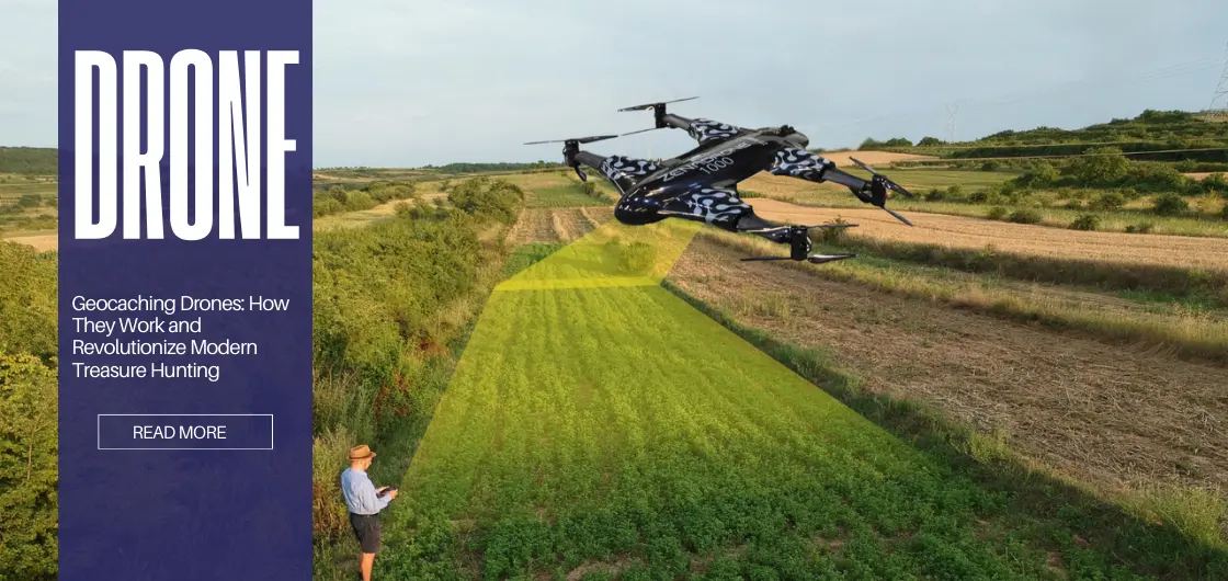
Geocaching Drones: How They Work and Revolutionize Modern Treasure Hunting
Geocaching Drones: How They Work and Revolutionize Modern Treasure Hunting What is Geocaching? Geocaching is considered a modern treasure hunt....

How Drone Services Increased ROI For Irish Companies
How Drone Services Increased ROI For Irish Companies Drone Services ROI – Ireland TL;DR This guide shows how Irish businesses...
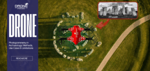
Photogrammetry in Archaeology: Methods, Use Cases & Limitations
Photogrammetry in Archaeology: Methods, Use Cases & Limitation TL;DR Photogrammetry is a passive technique of remote sensing that uses redundancy...

The Role of Software in Smarter Drone Power Distribution
The Role of Software in Smarter Drone Power Distribution With the constant development of technology, drones are now classified as...