Drone Solutions for Archaeology
Utilize drone mapping to uncover, record, and preserve archaeological sites without disturbing the ground surface.

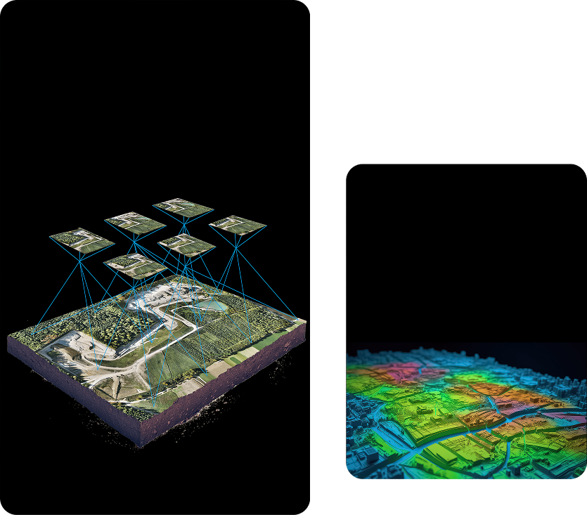
Geotagging
Archaeology drones are equipped with geotagging technology that enables precise location mapping. Geotagging assists archeological researchers in identifying new excavation sites, tracking environmental patterns, and avoiding interference with protected ecosystems.
Multispectral Image Sensors
Our drones for archaeology are integrated with advanced multispectral sensors that help in precision field scanning. Also known as thermal imaging, these sensors detect vegetation, map out terrains, determine topography, analyze depths, and identify features beneath the surface. Multispectral image sensors provide archaeologists with critical, non-invasive data for comprehensive site analysis.
High-Quality 4K Camera Integration
Accurate visual data is vital for archaeological analysis. Our innovative drone archaeology technology features ultra-high-definition 4K cameras and LiDAR. These cameras capture detailed imagery and video from multiple angles.Drones with LIDAR technology in archaeology improve the documentation of sites and enable deeper insights with unmatched clarity.
Autonomous Flight Mode
Archaeology requires in-depth analysis of the excavated sites and archeological finds concerning the history and culture of the place. Using an archaeology drone with an autonomous flight mode is highly advantageous. A fully autonomous flight allows for safe, efficient data collection without exposing personnel to on-site risks. The autonomous flight feature ensures consistent, high-precision surveying across even the most remote or hazardous excavation zones.
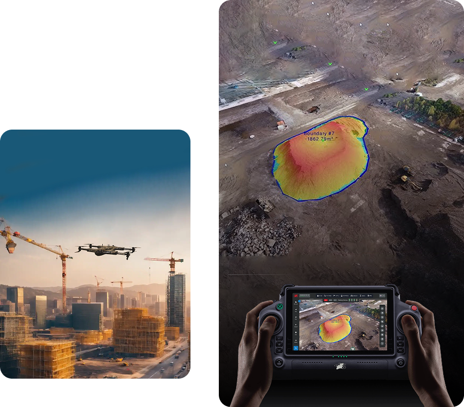

Capture high-resolution aerial data to detect buried structures and map archaeological sites without excavation.

Use drones to create accurate 3D models for site analysis, preservation, and historical documentation.
Extensive Data Collection with AI
DaaS archaeology drones integrate powerful AI to process and analyze site data rapidly. Drones in archaeology utilize AI to enhance the accuracy and speed of archaeological research. The best drones for archaeology with AI innovation enhance adaptability in diverse excavation needs.
Extended Flight Time and Optimized Workflow
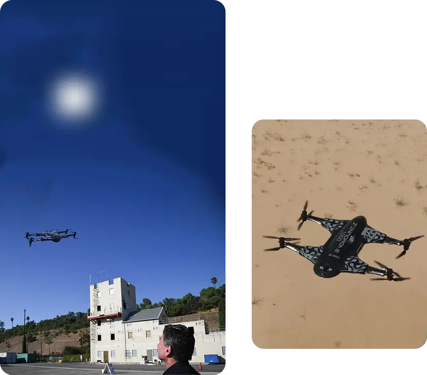
Archaeology requires time to collect data on sites and decode it immediately. Our archaeology drones support extended flights with minimal downtime due to extended batteries and cutting-edge software systems. Drones for archaeological surveys have long-lasting batteries, which optimize workflow in on-site and off-site operations.
Services Offered
Unlock the power of precision with our Drone-as-a-Service solutions. From raw terrain to refined insights, our drone-powered offerings accelerate every phase of your land development projects.

Concrete Scanning
Precision drone scanning to detect structural defects…
Agriculture and Farm
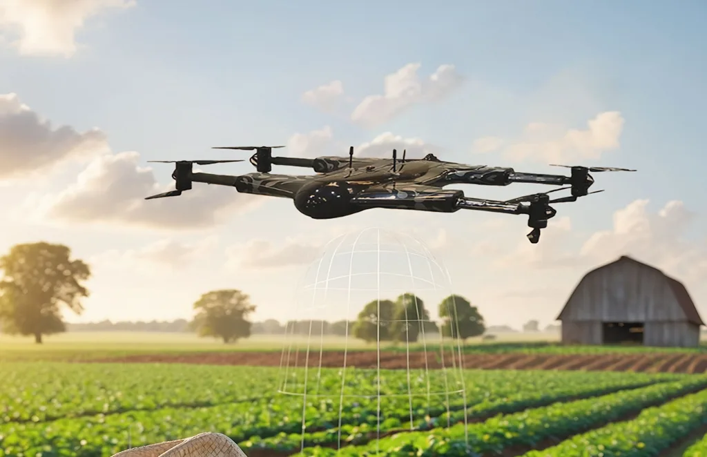
Crop health monitoring, yield estimation, and farm…
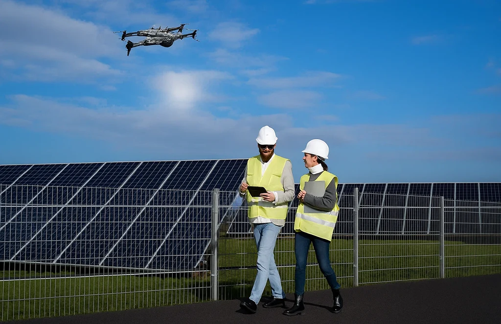
Solar Panel Drone Inspection
Efficient thermal imaging and analysis…
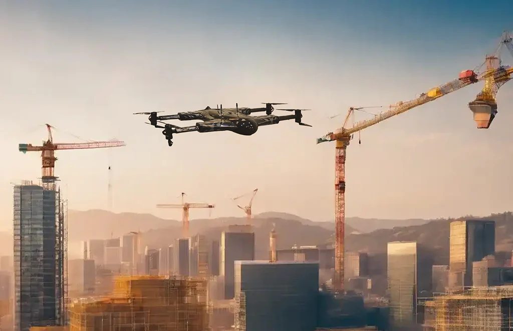
Construction Progress
Update
Track construction milestones with aerial…
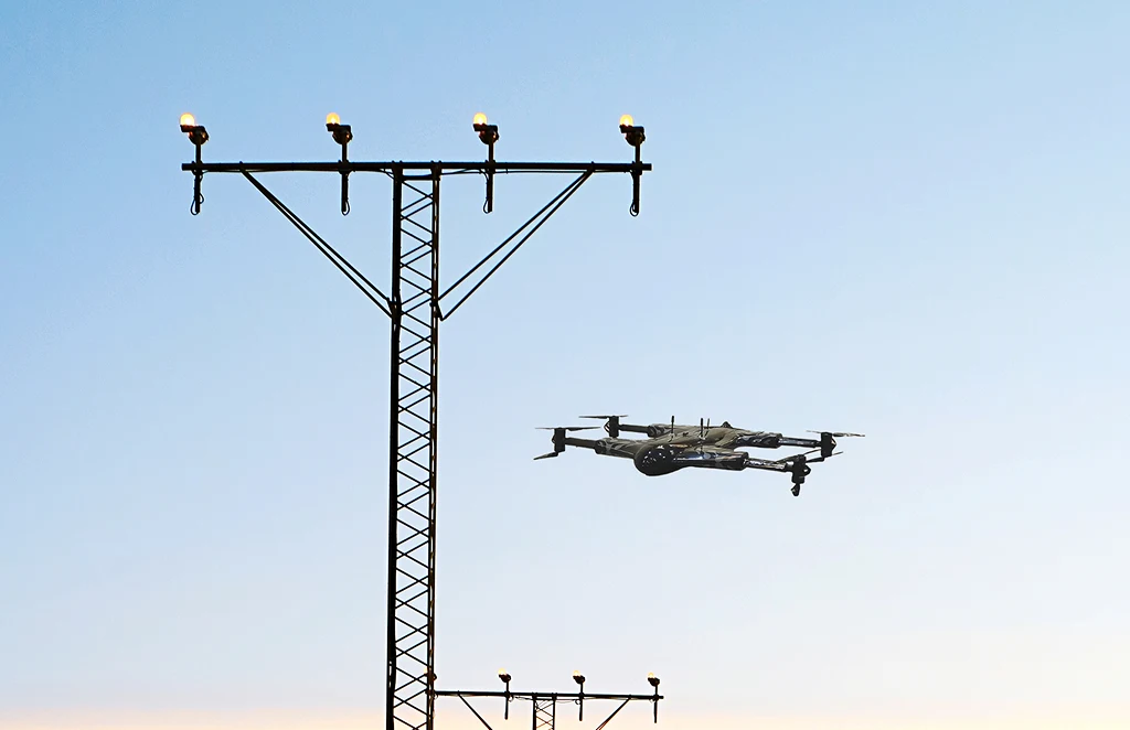
Power Line
Inspections
Safe, remote inspections of power infrastructure…
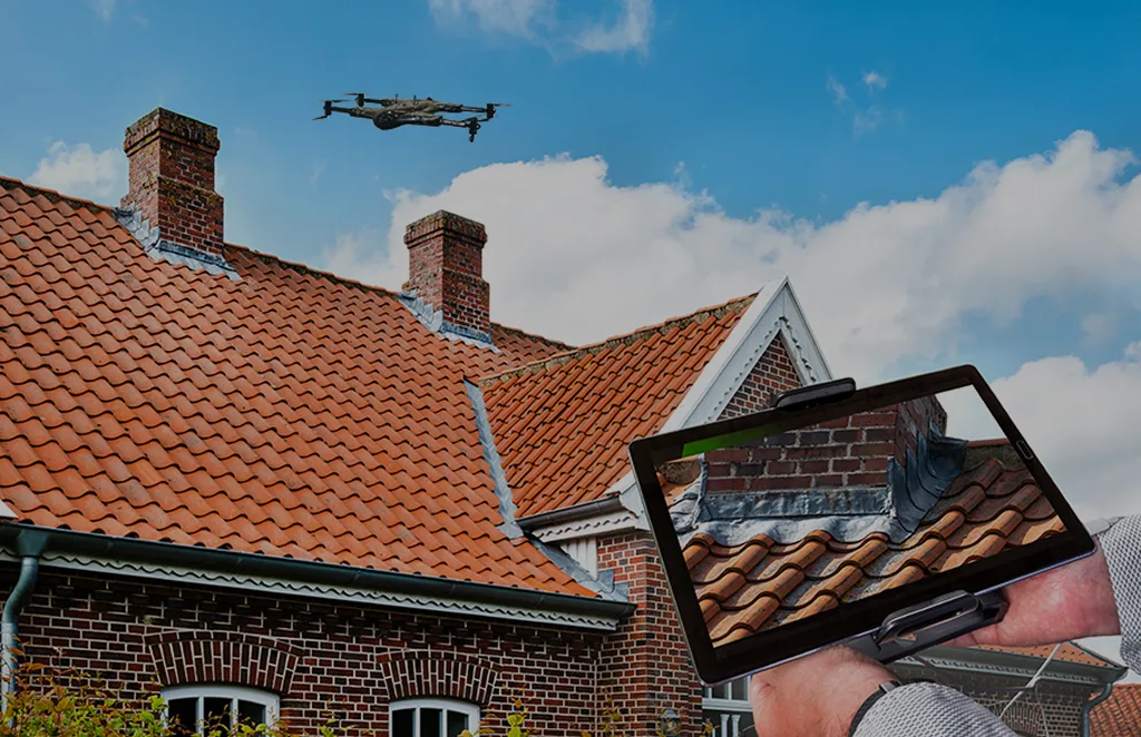
Roof Survey
Inspection
Quick and detailed inspections…
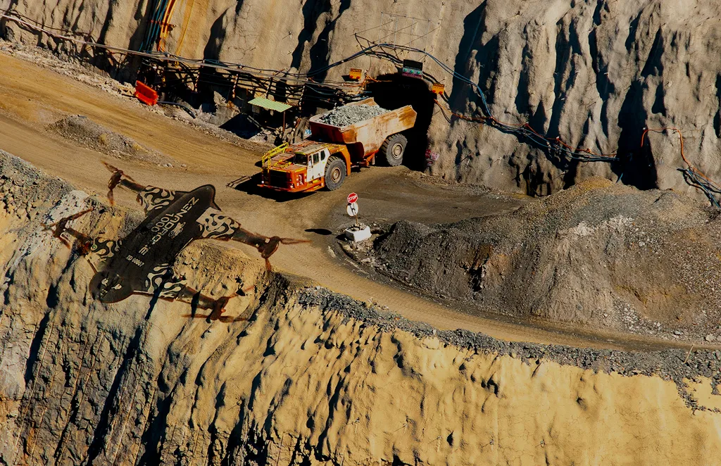
Mining, Quarries &
Aggregates
Monitor operations, measure…
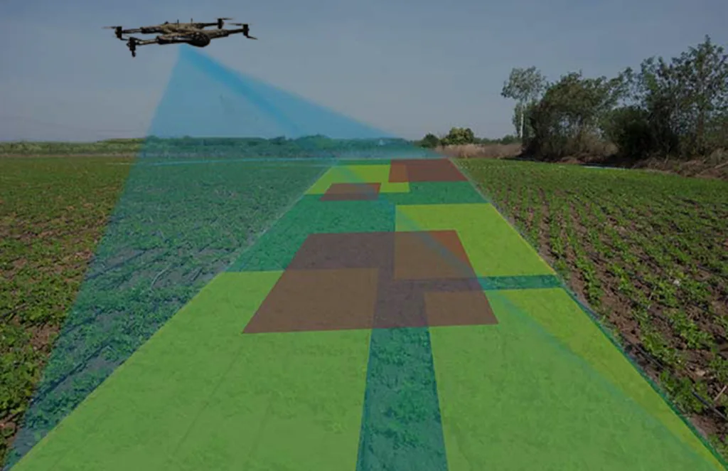
Land Survey
Efficient, high-accuracy surveys for boundary mapping and…
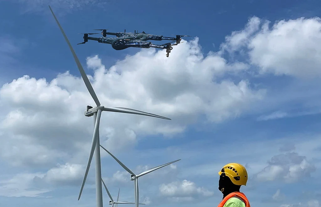
Renewable Energy Industry
Drone solutions tailored for wind farms, solar…
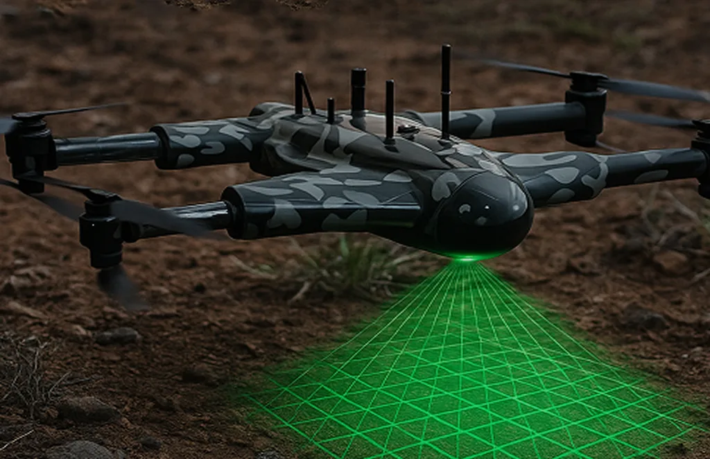
3D Scanning Services
Accurate 3D modeling of structures and landscapes for…
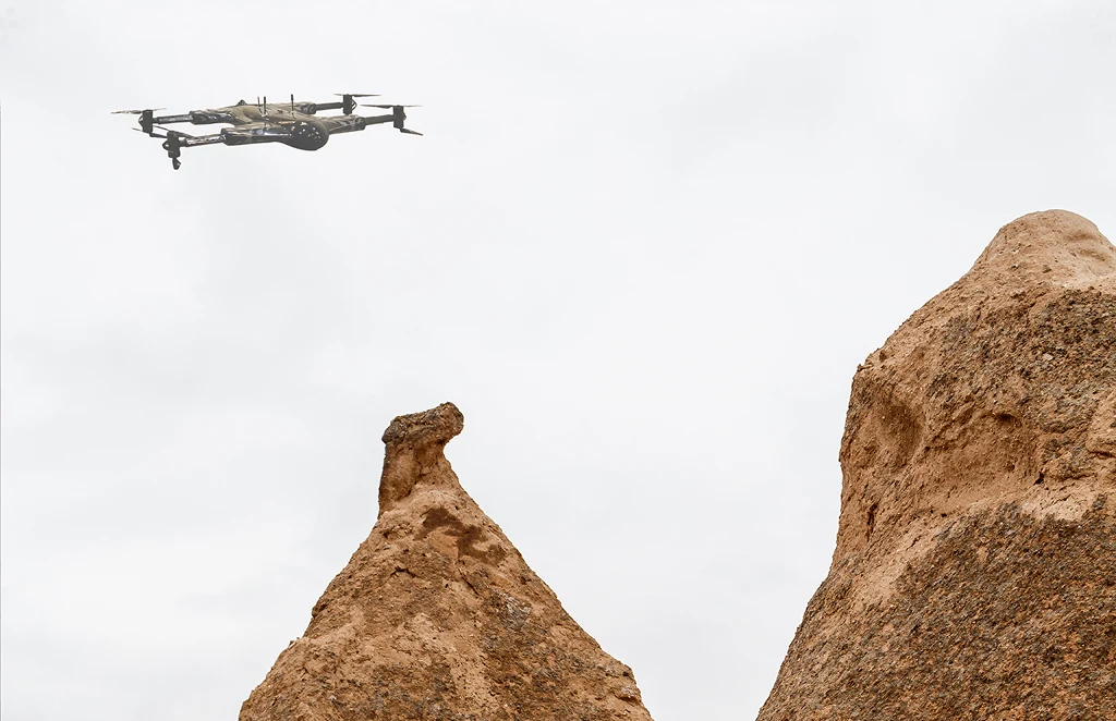
Archaeology
Non-invasive drone mapping to uncover and document…
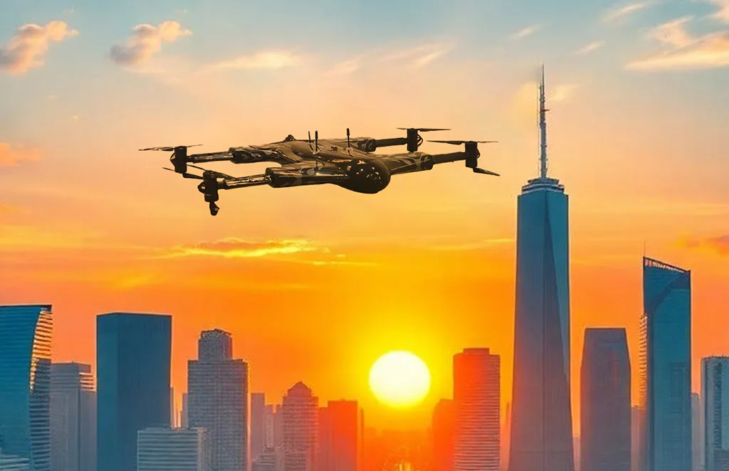
City Planning
High-resolution imagery and data to support infrastructure…

Multispectral Terrain Mapping
Multi-band imaging for vegetation analysis…
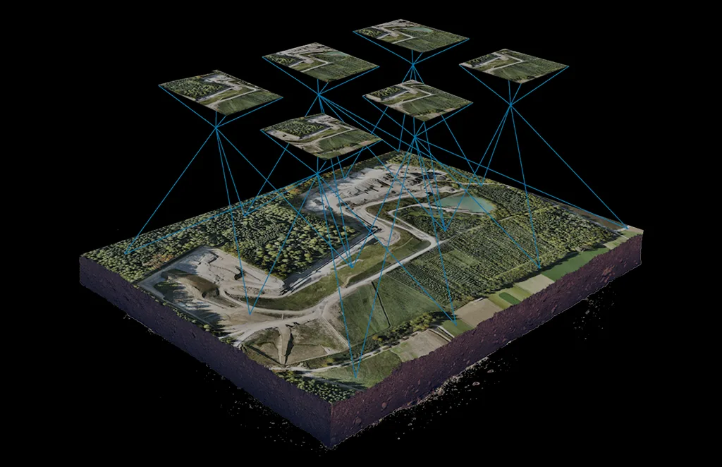
Terrain & Elevation Model
a Generate detailed terrain and elevation …
Get In Touch
Let’s elevate your operations.
Whether you’re curious about our drone solutions or ready to launch a project, our team is just a message away.


