


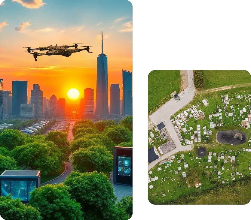
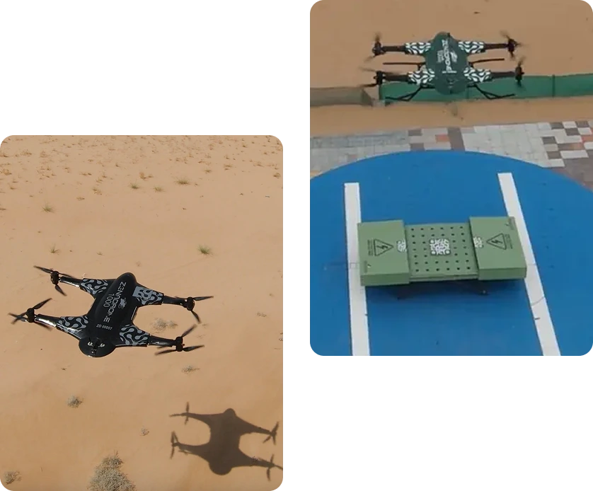

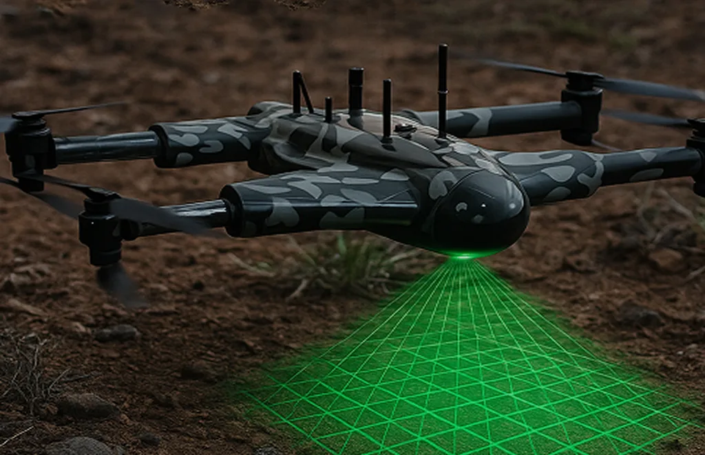


Advanced aerial solutions for tactical planning, surveillance, and mission support

Real-time aerial footage and visuals to enhance broadcast and digital journalism.

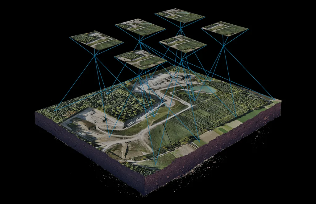
Accurate 3D modeling of structures and landscapes for analysis and visualization.

Generate detailed terrain and elevation models for engineering and planning use.

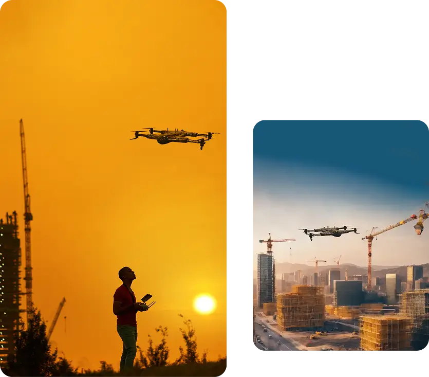
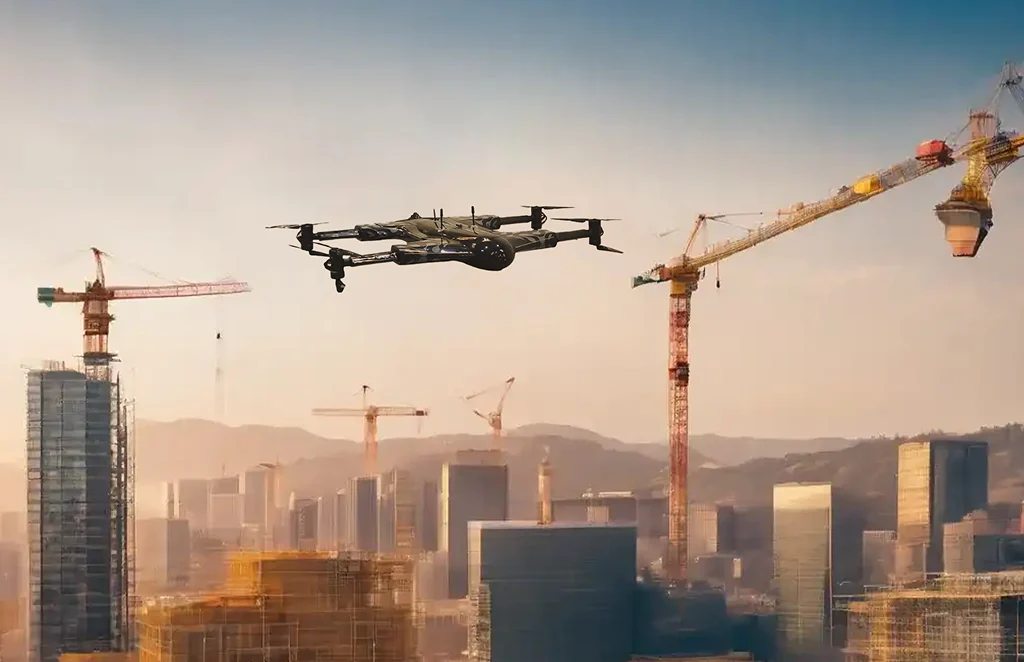
Track construction milestones with aerial overviews and progress reports.

Efficient, high-accuracy surveys for boundary mapping and land development.

Non-invasive drone mapping to uncover and document archaeological sites with precision.

Precision drone scanning to detect structural defects and subsurface anomalies.

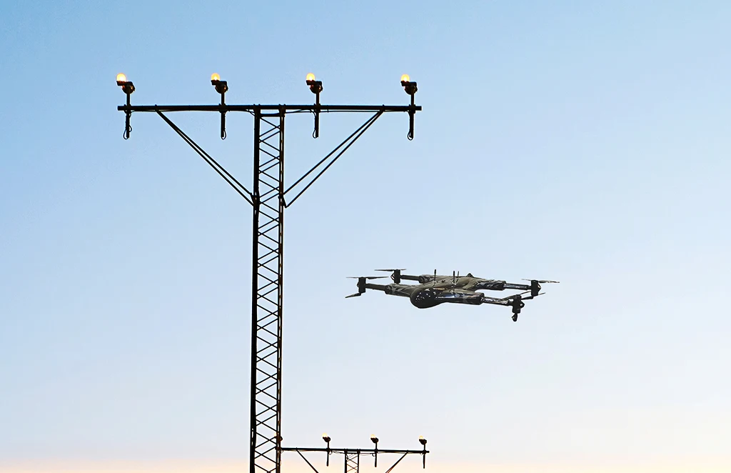
Safe, remote inspections of power infrastructure to detect faults and reduce downtime.

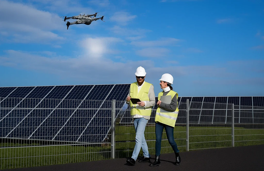
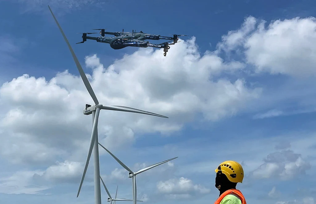
Drone solutions tailored for wind farms, solar arrays, and hydroelectric site surveys.

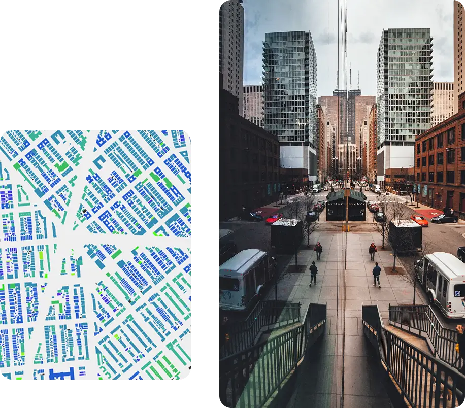
High-resolution imagery and data to support infrastructure design and urban development.

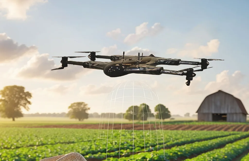
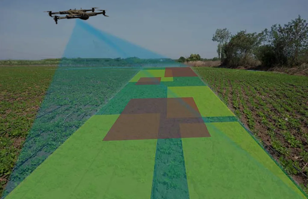
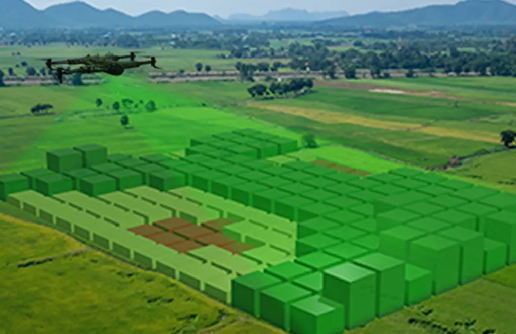
Crop health monitoring, yield estimation, and farm management through aerial analytics.

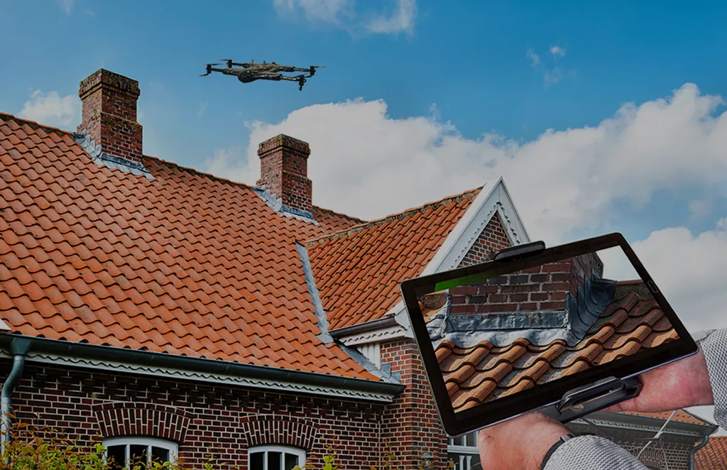
Quick and detailed inspections of rooftops for damage assessment and maintenance planning.

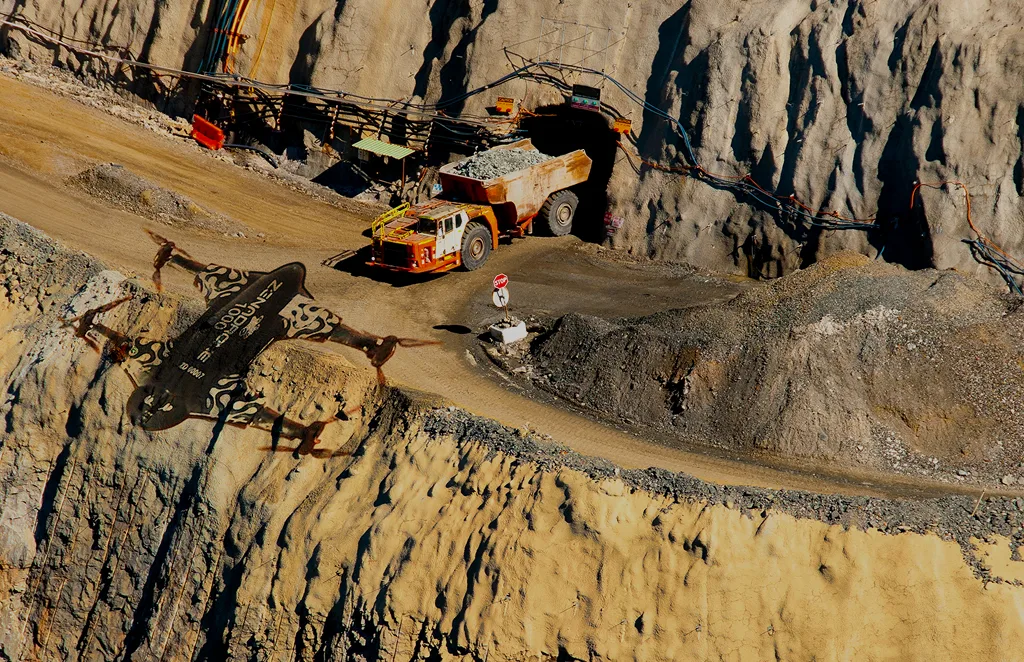
Monitor operations, measure stockpiles, and improve site safety with drone technology.

Multi-band imaging for vegetation analysis, land classification, and environmental studies.

Efficient thermal imaging and analysis for solar panel performance and defect detection.