


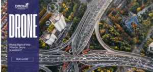
What Is Right of Way (ROW) in Drone Operations?
What Is Right of Way (ROW) in Drone Operations? In recent years, the recent spike in drone commercial operations has...

When Do You Need Professional Drone 3D Scanning Services?
When Do You Need Professional Drone 3D Scanning Services? What Is the Difference Between DIY Drone Mapping and Professional Drone...
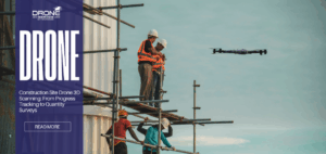
Construction Site Drone 3D Scanning: From Progress Tracking to Quantity Surveys
Construction Site Drone 3D Scanning: From Progress Tracking to Quantity Surveys Why Construction Sites Use Drone 3D Scanning Construction site...

How Drones Are Transforming Renewable Energy Inspection and Monitoring
How Drones Are Transforming Renewable Energy Inspection and Monitoring TL;DR Drones eliminate the need for manual climbing, significantly reducing workplace...

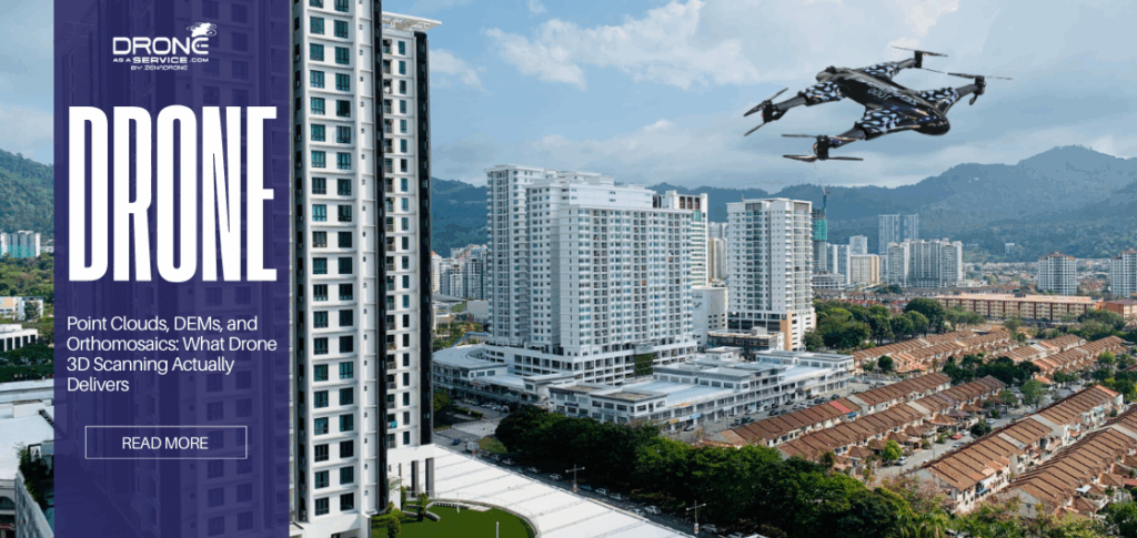
Point Clouds, DEMs, and Orthomosaics: What Drone 3D Scanning Actually Delivers
Point Clouds, DEMs, and Orthomosaics: What Drone 3D Scanning Actually Delivers What Is Point Cloud in Drone 3D Scanning? A...
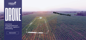
How Drone Photogrammetry and LiDAR Work Together in 3D Scanning
How Drone Photogrammetry and LiDAR Work Together in 3D Scanning What Is Drone Photogrammetry and How Does It Create 3D...