


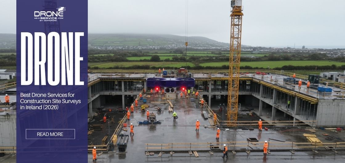
“Professional drone services for construction site surveys help Irish construction companies inspect sites safely, track progress accurately, and manage risks efficiently. Equipped with advanced cameras and sensors, drones reduce delays, support 3D modeling, and ensure compliance with safety standards, making inspections faster, safer, and more cost-effective.”
Using drones, construction teams can safely capture detailed images, videos, and data to understand site conditions and track progress accurately. Unpredictable weather often makes traditional inspections risky and slow, particularly on coastal sites and in dense urban areas, which are common in Irish construction projects.
Professional drone services provide a safer and more efficient way to monitor site progress and inspect dangerous areas. UAV mapping allows teams to build detailed site models and gather visual data that supports planning and on-site coordination.
Professional drone services handle compliance, flight operations, and planning, making inspections easier and safer for construction teams. Drone technology allows workers to inspect sites safely while keeping projects on schedule.
Why Professional Drone Services Matter in Ireland
Ireland’s construction projects experience storm damage, flooding, and urban density. Strong winds, restricted access, and rapidly changing site conditions increase safety risks for inspectors and can delay site progress monitoring and reporting.
Professional drone services allow construction teams in Ireland to carry out inspections and progress tracking more safely and in less time than traditional methods. Drones can detect defects ahead of time and support inspection of storms and flooding aftermaths without putting laborers at risk.
Drones convert aerial imagery into accurate digital models, or digital twins, helping teams make informed decisions without visiting hazardous sites. Using licensed pilots, modern sensors, and established workflows, professional services deliver precise and reliable site data.
In comparison, an in-house drone inspection would require an initial cost for drone equipment, pilot training, regulatory compliance, and internal data analysis. UAV mapping services in Ireland enable teams to perform progress monitoring accurately.
Pre-Survey Planning Checklist
Construction sites require careful pre-survey planning to ensure construction drone inspection safety and compliant operations in Ireland. Under the Irish Aviation Authority (IAA), all flights must follow national airspace and operational regulations to meet UAV compliance requirements.
The essential planning process includes:
- Airspace verification: checking for restricted zones near airports, hospitals, and military installations.
- Risk assessment: identification of site-specific risks such as power lines, cranes, and walkways.
- Weather monitoring: checking high winds, rain, and low visibility, which could impact flying.
- Stakeholder Notification: Inform site staff and nearby properties about planned drone operations and safety measures to protect privacy.
- Emergency protocols: an established flight procedure such as designated landing areas in case of emergency.
Following a construction drone safety plan helps teams reduce risks and ensures operations meet regulatory standards. Professional drone services make it easy by handling all UAV compliance, while advanced safety drones generate precise data.
Drone Equipment & Sensor Options
Types of drones:
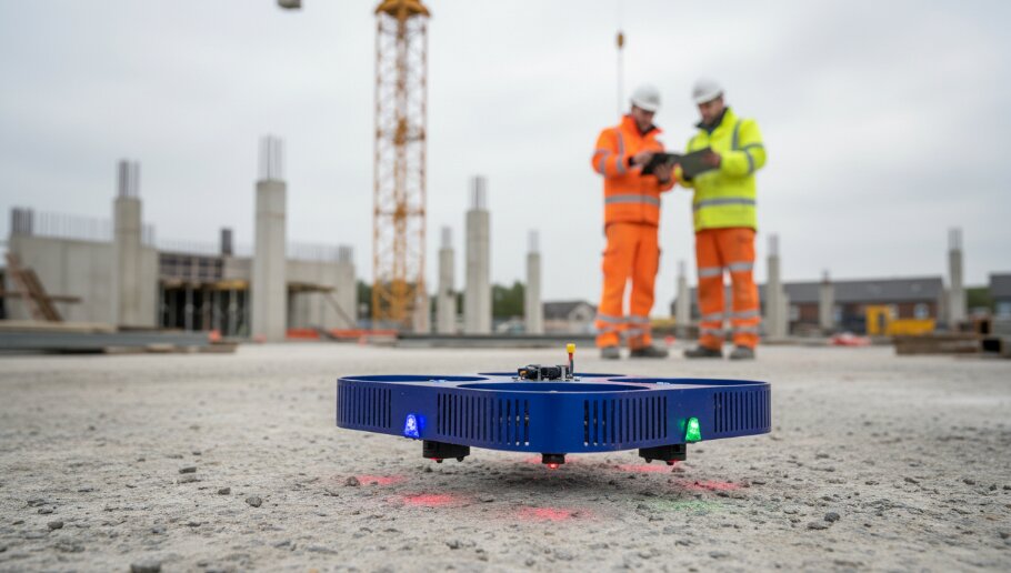
Commercial drone operations use dedicated equipment tailored to specific project requirements.
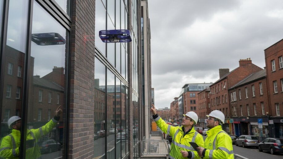
- Multi-rotor drones: stable and easy to control, well-suited for inspections of building facades.
- Fixed-wing Drones: long flight time, usually used for large area surveys such as topographic surveys.
- Hybrid drones: ideal for long-range flight paths and linear mapping.
- Industrial drones: fitted with advanced sensors such as LiDAR and thermal cameras, useful for surveying areas with light vegetation or complex terrain.
Types of sensors:
- High-Resolution Visual Cameras: ideal for generalized site surveillance since it can capture high-quality images.
- Thermal sensors: used in thermal drone inspection and heat loss analysis to detect surface leakages.
- LiDAR Surveys: best for topographic surveys. Can penetrate thick vegetation and detect objects through it.
- Mapping sensors: produce orthomosaic images and volumetric measurements to support construction analysis.
These drones and sensors help construction inspection activities perform structural analysis, monitoring, and safety inspection. In Ireland, UAV mapping projects may employ a combination of the above sensors.
Flight Execution & Survey Workflow
The success of aerial surveys depends on their ability to use an established and repeatable aerial inspection workflow. Professional pilots use automated flight paths to maintain a steady altitude and achieve the image overlap required for high-quality photogrammetry.
Pilots remain in contact with site safety officers during flights to navigate around cranes and other obstructions safely.
This process allows construction drone surveys to fit in well with overall site activities, ensuring accurate and timely data without compromising inspections and operations.
Data Accuracy & Analysis Checklist
Data is the essential foundation upon which the effective management of building construction sites is based. Surveys conducted by professional surveyors yield maximum accuracy through a precise georeferenced process that utilizes photogrammetric data. These processes ensure that measurements, maps, and models remain accurate and consistent across all stages of the project.
This consistency is achieved through 3D modeling and digital twins for construction, supporting site progress monitoring. These virtual models let teams track progress and architectural changes without physically visiting the site and entering hazardous areas.
UAV data analytics allows engineers and project managers to gain precise insights from aerial surveys, such as site volume, progress tracking, and structural conditions. Furthermore, secure, validated datasets provide a reliable source for regulatory and insurance purposes.
The adoption of these best practices ensures that construction projects in Ireland meet both safety and efficiency requirements.
Safety & Risk Management
Construction drone surveys reduce injury risk by inspecting hazardous areas before work begins. The inspection of risky areas such as roofs, high-rise buildings, and steep slopes can be carried out using a construction safety drone.
Key safety advantages:
- Hazardous manual and elevated inspections are minimized.
- Drone surveys pinpoint hazardous zones more accurately, reducing risk for personnel.
- Minimizes exposure to hazardous materials and chemicals.
- Creates visual records that support safety inspections and reporting.
These services enable safer work environments by adhering to Irish construction safety standards and Health and Safety Authority guidelines. Irish safety standards mandate site risk management, hazard mitigation, and worker training.
Standards also include authorizing every project with a comprehensive Risk Assessment and Method Statements (RAMS) to mitigate hazards like falls from height.
Specialized Irish Use Cases
Drones are now an essential tool for infrastructure and construction companies in Ireland. The combination of storm damage assessments and flood monitoring enables teams to assess impacted areas, identify hazards, and develop strategies.
Aerial surveys provide essential support for coastal projects, bridge construction, and other challenging-to-reach sites, by minimizing the requirement for undertaking hazardous inspection practices such as scaffolding, diving, and rope access.
It supports these project sites because they provide precise visual documentation while ensuring the safety of those working on them. Emergency response drones help public safety teams address severe storms, flash flooding, landslides, and collapses during critical incidents.
Real-time drone data helps teams quickly identify hazards and make on-site decisions. Drone as a Service in Ireland enables teams to deploy operations immediately without the need for in-house equipment or skilled pilots.
Compliance, Documentation & Reporting
The Irish construction industry requires all projects to maintain complete documentation for their project success. These documents should include project plans, approvals, inspection reports, and audit-ready records. Professional drone services prepare compliance-ready reports, ensuring all inspections are documented and audit-ready. Inspections follow Irish Aviation Authority guidelines to ensure compliance with established reporting standards.
The organization uses a secure central database for inspection documentation, which allows them to prove their transparency to their investors and insurance companies. All compliance and regulatory requirements are taken care of through drone services. Furthermore, your compliance remains accurate with drone inspections in Ireland owing to precise results that meet your engineering requirements.
Real-World Irish Case Studies
The application of construction drones for surveys in Ireland has transformed the execution of construction projects in urban regions, coastal regions, and bridge construction.
In western Ireland, a company utilized professional UAV mapping services for 17 coastal sites covering approximately 350 hectares. By utilizing a hybrid approach of photogrammetry and LiDAR, it supported the collection of high-resolution mapping and penetration of coastal vegetation.
This use of drone surveying was instrumental in helping the construction company acquire a 3D image of the land without the safety risks associated with flying over the coast.
Another project carried out by Wills Bros LTD located in County Kildare, they employed a professional drone survey for a 75-hectare land fill project. UAV mapping services completed site surveying in just one day instead of two weeks
This rapid data collection and advanced software processing have enabled precise environmental monitoring, volumetric checks, and the maintenance of the project timeline. These drone survey use cases demonstrated how professional drone services enhance hazard protection, operational safety, and efficiency.
Best Practices for Construction Drone Surveys
A proficient aerial inspection process calls for close collaboration or coordination among the drone pilot, site engineer, and safety manager. For companies to achieve the full benefits of aerial technology, they need to adopt an integrated approach and best practices.
- Standardized Workflow: Plan, execute, capture data, and evaluate consistently.
- Schedule Consistency: Maintain regular survey intervals.
- Data Integration: Ensure compatibility with BIM software.
- Professional Partnership: Include drone service providers in engineering and safety workflow.
- Hybrid Inspections: Combine drone and manual inspections for verification.
The entire project lifecycle benefits from standardized workflows that enable maximum insight extraction from drone services for construction site surveys.
Limitations & Future Trends
Among the biggest limitations of using drones in industries, particularly in construction, are weather, indoor environments, and regulatory constraints. In the case of weather, strong winds and poor visibility make it harder for drones to fly and collect good data.
The absence of satellite signals in indoor spaces disrupts GPS reception, leading to unstable flight conditions.
Finally, the operational boundaries are created by a combination of regulatory restrictions, such as altitude limits of 120m and no-fly zones around aerodromes. Drone services are expanding and will develop further in the construction industry.
The aviation industry shall achieve IAA-compliant BVLOS operations with its next developments. This development will enable comprehensive pipeline and railway projects to be monitored remotely from one operational site.
Advances in sensor technology, along with improved data analysis, will allow companies to conduct more detailed and accurate site inspections.
Upcoming systems may identify safety hazards and structural issues on-site using computer vision technology.
Conclusion
Professional drone services improves safety, efficiency, and accuracy for the Irish construction sector by delivering safety, speed, and compliant construction surveys.
Drone surveys provide a clear overview of project progress while maintaining schedules and safety standards.
Construction drone surveys help companies overcome challenges by improving inspection efficiency, accuracy, and reliability.
Drone surveys in construction companies are able to reduce safety risk associated with site inspections while improving inspection quality.
At the same time, a structured inspection process with the assistance of professional drone services ensures a compliant level of results.
This also allows faster inspections with reliable data, by obtaining valuable information for effective organizational decision-making processes.
To find the best drone service for your business, look no further. Drone as a Service can jumpstart your operations with exceptional thermal inspections, UAV mapping, and even complete surveys.
Frequently Asked Questions

What Is Right of Way (ROW) in Drone Operations?
What Is Right of Way (ROW) in Drone Operations? In recent years, the recent spike in drone commercial operations has...
When Do You Need Professional Drone 3D Scanning Services?
When Do You Need Professional Drone 3D Scanning Services? What Is the Difference Between DIY Drone Mapping and Professional Drone...
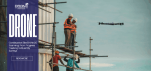
Construction Site Drone 3D Scanning: From Progress Tracking to Quantity Surveys
Construction Site Drone 3D Scanning: From Progress Tracking to Quantity Surveys Why Construction Sites Use Drone 3D Scanning Construction site...
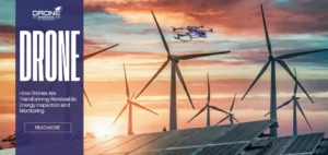
How Drones Are Transforming Renewable Energy Inspection and Monitoring
How Drones Are Transforming Renewable Energy Inspection and Monitoring TL;DR Drones eliminate the need for manual climbing, significantly reducing workplace...

Point Clouds, DEMs, and Orthomosaics: What Drone 3D Scanning Actually Delivers
Point Clouds, DEMs, and Orthomosaics: What Drone 3D Scanning Actually Delivers What Is Point Cloud in Drone 3D Scanning? A...
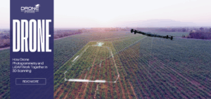
How Drone Photogrammetry and LiDAR Work Together in 3D Scanning
How Drone Photogrammetry and LiDAR Work Together in 3D Scanning What Is Drone Photogrammetry and How Does It Create 3D...