


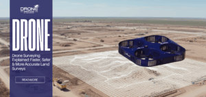
Drone Surveying Explained: Faster, Safer & More Accurate Land Surveys
Drone Surveying Explained: Faster, Safer & More Accurate Land Surveys Introduction to Drone Surveying Drone surveying has rapidly become a...
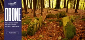
LIDAR Archaeology: How Drone LiDAR Reveals Hidden Ancient Landscapes
LIDAR Archaeology: How Drone LiDAR Reveals Hidden Ancient Landscapes TL;DR Drone LiDAR archaeology reveals ancient landscapes hidden beneath dense forest...
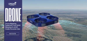
Drone Mapping Explained: How Aerial Mapping & LiDAR Create Accurate Data
Drone Mapping Explained: How Aerial Mapping & LiDAR Create Accurate Data Drone mapping has transformed how industries capture, analyze, and...
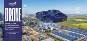
What Is a Drone Service? How UAVs Are Used by Modern Businesses
What Is a Drone Service? How UAVs Are Used by Modern Businesses? As businesses look for faster, safer, and more...

Drone Insurance: What You Need to Know
Drone Insurance: What You Need to Know The insurance industry is currently undergoing a massive shift. For decades, the sector...
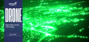
Night Vision Drones: Technology, Applications & Buying Guide
Night Vision Drones: Complete Guide Night vision drones have changed the way we watch and explore the world after dark...