


Our Florida Locations
Serving Florida’s diverse terrain with precision, speed, and insight. Our drone-based solutions are tailored for local
industries from coastal development to inland infrastructure.

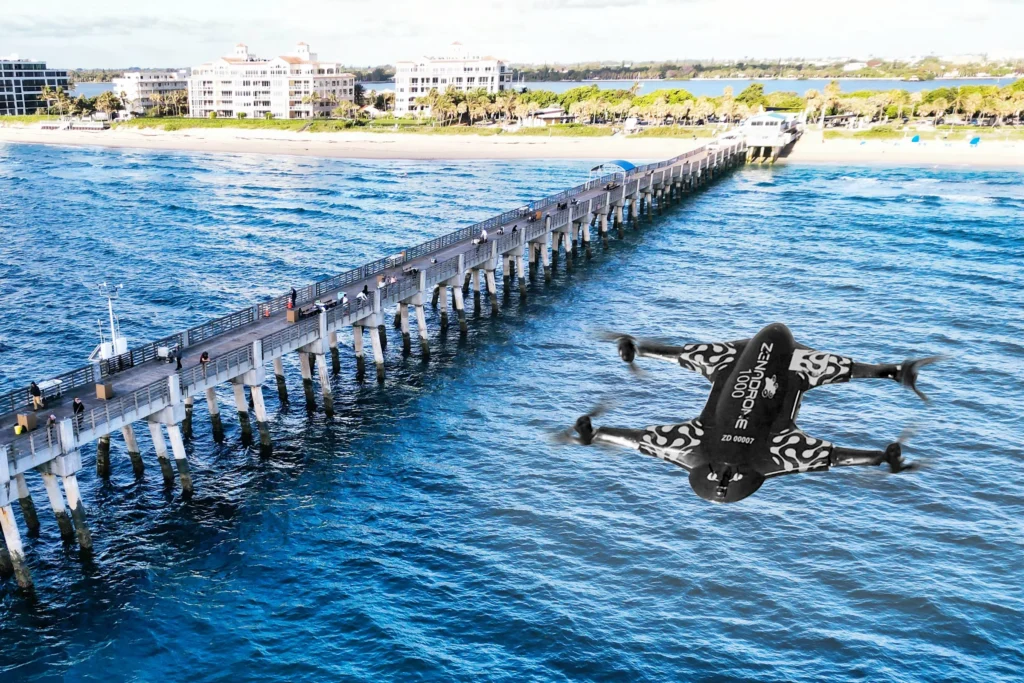
Lake Worth
Supporting coastal resilience and urban planning, our drone services in Lake Worth offer high accuracy topographic mapping, shoreline monitoring, and aerial site inspections for both public and private sectors.
Site development, erosion tracking, utility inspection.
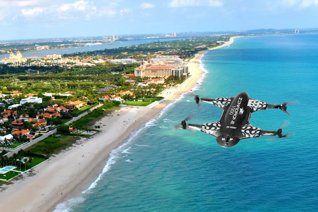
West Palm Beach
In one of Florida’s fastest-growing regions, we provide real-time construction progress tracking, as-built documentation, and drone-assisted land surveys for residential, commercial, and municipal projects.
Construction management, land acquisition surveys, compliance support.
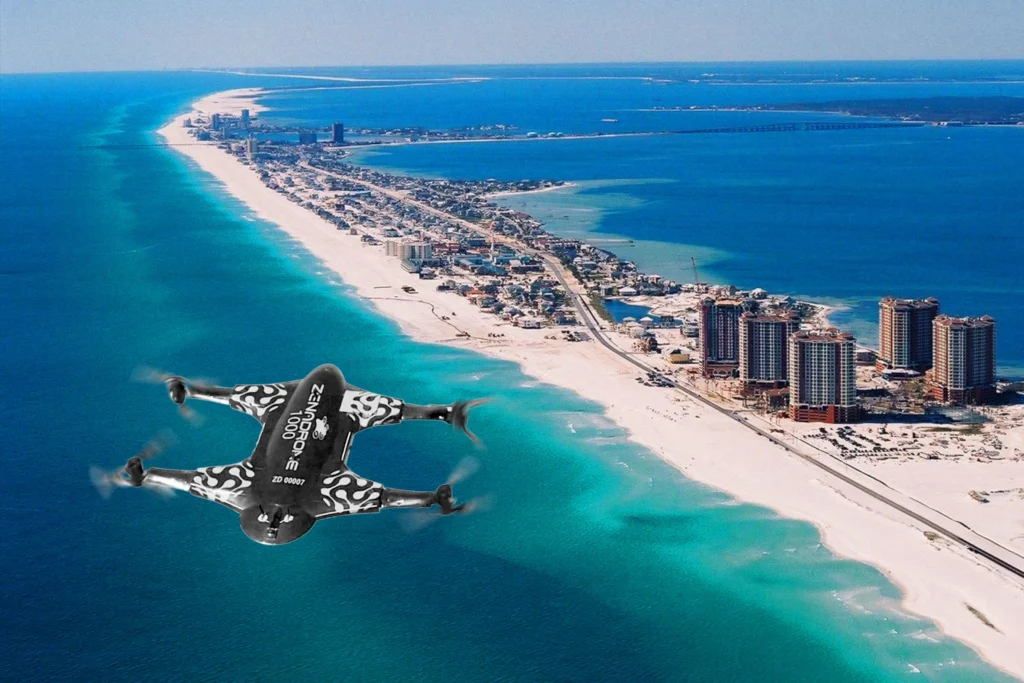
Pensacola
From the Gulf shoreline to military zones, our Pensacola operations focus on volumetric analysis, coastal infrastructure assessment, and defense-aligned aerial data collection.
Port mapping, military support services, stockpile calculations.
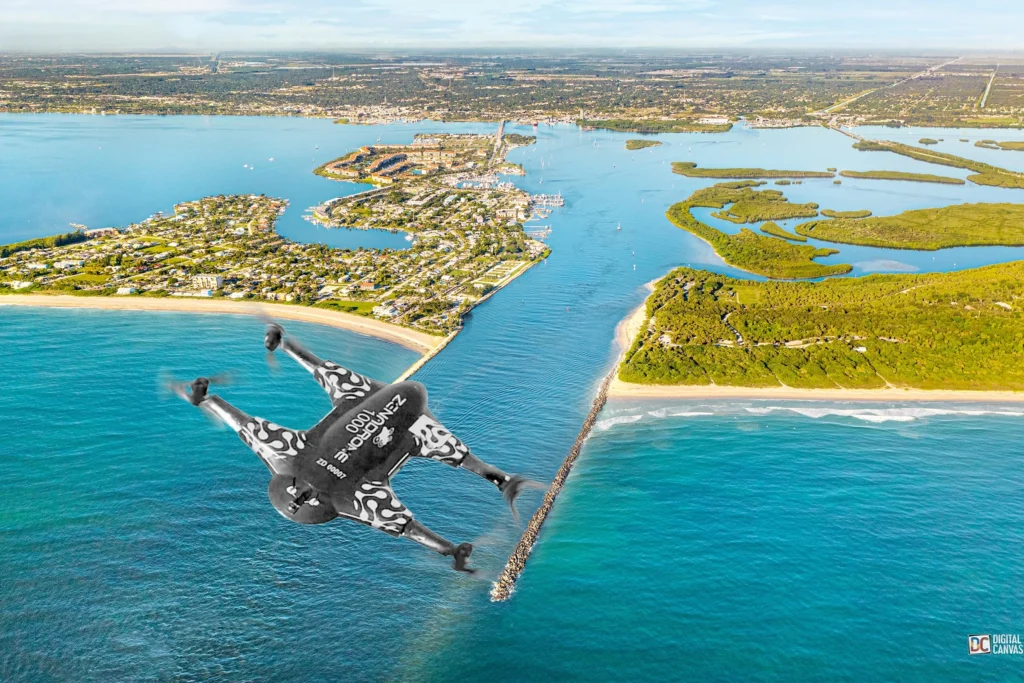
Fort Pierce
Seawall inspections, floodplain mapping, land development surveys.
Jacksonville, FL
Serving one of Florida’s most dynamic coastal regions, our drone services in Jacksonville provide advanced aerial mapping, infrastructure assessment, and environmental monitoring solutions. From waterfront construction projects to transportation corridors, we deliver high-accuracy data to support both public and private sector initiatives.
Coastal development, flood prevention, infrastructure inspection.

Frequently Asked Questions (FAQs)
DaaS Drone Services for Land Surveying
How does DaaS use drones for land surveying?
DaaS uses drones with advanced mapping and scanning technologies to capture aerial images and data. These images are processed into accurate maps and 3D and terrain models, enabling efficient and precise land surveying for various industries.
What types of data can drones collect during a land survey?
Our drones collect high-resolution imagery, elevation data, and 3D models of the land. These can be used for site analysis, design planning, and monitoring land changes over time.
How accurate are DaaS drone surveys?
DaaS drone surveys are highly accurate. Using integrated AI and machine learning systems, our drones achieve centimeter-level precision for mapping and scanning, ensuring high-quality data for any land project.
What industries can benefit from drone surveying services provided by DaaS?
Our drone surveying services benefit construction, agriculture, renewable energy, and urban development industries. DaaS provides tailored solutions for land surveying, whether for farms, construction sites, or industrial zones.
How fast can DaaS complete a land survey?
DaaS drone surveys are completed faster than traditional methods. Depending on the land size, we can deliver processed data and reports within 24 to 48 hours, streamlining project timelines.
Get In Touch
Let’s elevate your operations.
Whether you’re curious about our drone solutions or ready to launch a project, our team is just a message away.