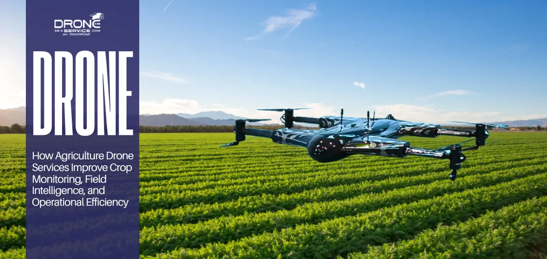
How Agriculture Drone Services Improve Crop Monitoring, Field Intelligence, and Operational Efficiency
EXECUTIVE SUMMARY
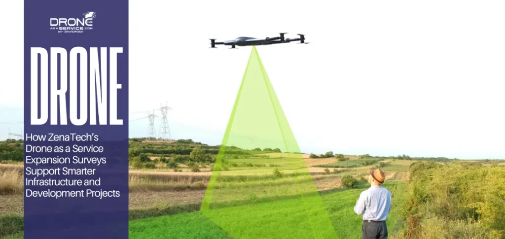
The use of agricultural drone services can improve visibility, monitoring, and operational intelligence in the field. Drone as a Service allows farms to scale agriculture without owning the hardware, software, pilots, and data processing themselves.
What Are Agriculture Drone Services?
Agriculture drone services are aerial operations that are controlled for the purposes of field monitoring, mapping, inspections, and precision agriculture. The Drone as a Service model allows farms to have access to flight operations without needing to establish in-house drone teams.
Definition of Agricultural Drone Operations
Agricultural drone operations use uncrewed aircraft, sensors, software, and data workflows to support farm management. These services help teams to gather field images, evaluate crop conditions, and enhance agricultural inspection across commercial operations.
Role of Drones in Modern Farming
Drones are used in modern farming to give operators a faster field overview. They assist teams in tracking crop variability, in looking at hard-to-reach areas, and in gathering timely data for improved decision making.
Why Agriculture Is Adopting Drone Technology
Agriculture is embracing the use of drones because the field conditions are rapidly changing, especially in large farming operations. Using a drone increases operational intelligence, resource optimization, and enhances the monitoring of crops through more regular flights.
How Do Drones Improve Crop Monitoring?
Drones’ ability to view large tracts of land is key to modern farming. It lets users make the most out of each flight, since the data they collect is used for optimizing crop yield.
Aerial Crop Observation
Drone crop monitoring provides operators with a wide view of how crops are growing. Canopy changes and surface variability are also indicated from the observation.
This information can help agricultural mapping, plant health analysis, and more focused field inspections throughout commercial farming operations.
Early Visibility Into Field Conditions
Drones help to provide an early warning. They take photos of fields that are stressed before the problems escalate. These drone technologies can help detect moisture issues, crop growth, and crop health earlier.
Large-Area Monitoring Capabilities
The multiple sites and frequent monitoring requirements of these groups make drones of special value. With Drone as a Service models, they can create a standardized data collection process without all the large teams.
Why Are Farmers Using Drone as a Service?
Drone as a Service is a way for farmers to obtain aerial monitoring without dealing with pilots, software, or compliance. This model facilitates field implementation, as well as frequent field intelligence and seasonal monitoring.
Avoiding Equipment Ownership Challenges
Drone as a Service is a way of integrating new technologies without the burden and cost of drone ownership and maintenance. It helps to reduce workload on hardware management, software updates, training, flight plans, and regulatory requirements.
Access to Drone Expertise
When farmers require skilled operators, they mainly look into skills, such as data workflows, and specific flight experience. Doing so allows agribusinesses to tap into drone expertise without needing to develop their own in-house team.
Scalable Seasonal Deployments
Flexible monitoring is required for seasonal farming, which can be increased in scope from crop to crop to other factors. Drone as a Service can provide scalable deployments to meet seasonal requirements such as planting, growth, inspection, and pre-harvest needs.
Recurring Monitoring Programs
Farms with recurring monitoring programs can monitor the condition of their crop repeatedly throughout the growing season with the same flights. It provides greater consistency of monitoring and provides teams with timely data.
How do Agriculture Drones Improve Operational Efficiency?
Faster Field Assessments
Agriculture drones improve efficiency by providing better visibility of the fields and reducing the need for multiple manual checks. And so, teams improve farm efficiency with drones through faster assessments and a more solid decision support.
Reduced Manual Field Scouting
Drones help teams to view more land from the air, reducing the need for manual field scouting. It will enable targeted ground follow-up, instead of staff traversing to the fields.
Drones that provide imagery over vast areas in a shorter period conduct field assessments more quickly. It enables operators to see variations in the field sooner and act accordingly in a timely fashion.
Consistent Monitoring Workflows
Drones enable consistency through repeatable flight paths and standard data collection procedures. They help establish stable monitoring throughout the season, which also affects the monitoring of locations and crop phases.
Data-Driven Agricultural Decisions
Drones help convert field imagery into usable operational data to help make decisions in agriculture. This information is used to prioritize inspections, resource allocation, and to take action based on what is seen in the field.
Statistical support also suggests meaningful efficiency gains. One University of Maryland extension estimated that drones could help farmers save $1.3 billion through higher yields and lower inputs. It is through earlier identification of crop changes, targeted response planning, and accurate input management.
What Technologies Power Modern Agriculture Drone Operations?
Today’s agriculture drone flights rely on cutting-edge technology to transform aerial data into intelligence on the ground. AI agriculture drones are employed for crop monitoring, mapping, and improved operational decision making.
Multispectral Imaging
Multispectral imaging is the acquisition of data from multiple bands of light wavelengths that provide crop information. Because of this, operators capture variability and canopy stress, along with plant health patterns that don’t show up in regular photographs.
NDVI Mapping
NDVI mapping is an example of mapping based on reflected light data to display vegetation vigor between field zones. It allows teams to analyze crop performance and identify areas to review more closely.
Thermal Imaging
Thermal imaging is used to detect temperature differences in the field to show patterns that are related to moisture conditions. It helps catch irrigation problems early, as well as plant stress and other field changes needing agronomic attention.
AI-Powered Agricultural Analytics
Agricultural analytics using AI enables the transformation of vast amounts of images into operational insights. Teams can identify trends, categorize field situations, and enable more rapid monitoring decisions, rather than manually viewing each image.
GIS-Based Field Mapping
GIS-based field mapping puts all data collected by the drone on spatial field layers that can be analyzed over time. It allows agribusiness to link imagery, boundaries, and observations by location in a wider precision agriculture workflow.
Traditional Farming Inspections vs Drone-Powered Monitoring
Traditional inspections are limited to partial field checks, and drone-powered monitoring increases monitoring coverage and consistency. Precision agriculture drones enable operators to carry out a more general comparison of field conditions and better follow-up measures.
Manual Field Scouting vs Aerial Coverage
Manual field scouting requires walking or driving select paths in the field. Drone monitoring can provide aerial information to review larger areas, and even areas that are difficult to reach during regular inspections.
- Manual scouting samples parts of the field rather than the whole field.
- Drone flights provide a broader visual record across the operation.
Limited Observations vs Field-Wide Visibility
Traditional inspections tend to yield limited and useful observations from specific checkpoints. Drone-based monitoring increases visibility over the entire field by taking pictures of the entire area and enhances the spatial variability.
Periodic Inspections vs Recurring Monitoring
Since periodic traditional field inspections are more labor-intensive and require more travel, they can be costly. A drone can help with repeatable flight paths and more organized data collection schedules to benefit recurring monitoring programs.
Reactive Decisions vs Data-Supported Decisions
Traditional inspections are reactive, and only problems are identified when they can be seen. Drone monitoring can help make data-driven decisions, as it allows teams to review crop patterns and compare field zones.
Which Agriculture Sectors Can Benefit Most From Drone Services?
Commercial agriculture drones are most useful in a number of industries. Industries where there is a need for area coverage, repeatable monitoring, and scalable inspection operations.
Row Crops (Corn, Soybean, Wheat)
Corn growers use drone technology for stand development and variability, and irrigation tracking.
Soybean growers use the information to recognize growth and stress areas before they spread.
Wheat operations benefit from timely visibility during critical growth stages, especially where ground scouting takes too long.
Orchards & Vineyards
Tree and vine operations need to have visibility through rows, zones, and areas that are hard to access. Drones enhance aerial monitoring of plant condition, row variability, and site-specific issues in complex growing blocks.
Large-scale Agribusiness Operations
The multiple sites and frequent monitoring requirements of these groups make drones of special value. With Drone as a Service models, they can create a standardized data collection process without all the large teams.
How Do Agriculture Drones Support Resource Management?
Agriculture drones assist in resource management by providing a better understanding of the field conditions. Agricultural drone mapping allows managers to make decisions on field information.
Field Condition Visibility
Drone imagery provides farm teams with a wider perspective of what is going on in the field versus ground checks alone. It can then help the identification of field patterns, stressed areas, and uneven growth.
Targeted Intervention Planning
Aerial field data assists managers in determining where to take action first. Rather than redoing work, managers try to focus on the areas where there are issues, which is accurate and efficient.
Water Management Assessments
Drones help teams to observe patterns on the field, such as wet and dry areas. They can enhance the water management evaluation by indicating water conditions.
Land-Use Intelligence
Drone mapping in agriculture provides a better understanding of the use of land. It can also be used to show differences in field conditions among blocks, rows, or zones.
Agricultural Planning Support
Drone-collected data supports farm planning by giving teams a more current view of field needs. It helps managers keep their work, input, and monitoring schedules in sync with reality.
What Is the Future of Agriculture Drone Services?
The future of agricultural drone services is becoming more efficient and scalable. Autonomous agricultural drones used to be a tool for taking photos, but are now becoming a regular part of the system.
AI-Assisted Crop Intelligence
AI-assisted crop intelligence helps turn drone imagery into useful field insights. These systems can be used not just to record what is going on, but to reveal patterns. It can also track changes in the crop and enable quicker responses.
Recurring Autonomous Monitoring Programs
Field reviews can be more consistent across the season with recurring autonomous monitoring programs.
It delivers a regular flow of information to the operator and is easier to monitor changes than periodic inspections. Repeat flights also provide uniformity of comparison over time, and structured monitoring allows teams to compare variations at different growth stages.
Multi-Location Farm Operations
Drone services are useful for multi-location farm operations, as farms may require a uniform approach to the monitoring of separate locations. Service-based drone programs can help teams collect similar data across multiple properties without building full internal drone units.
Integrated Agricultural Analytics
Integrated agricultural analytics integrates drone imagery with other farm planning and reporting processes. It increases the value of aerial data, as it enables operational review, prioritization, and planning decisions in a single process.
- Drone data becomes more valuable when it connects with existing farm workflows.
- Improved integration leads to greater transparency in planning across teams, sites, and seasons.
Scalable Drone as a Service Deployments
Scalable Drone as a Service deployments let farms expand drone operations without owning equipment or software. They are ideal for promising operations that need recurring monitoring and seasonal flexibility, plus specialized support.
Conclusion
Agriculture drone services offer farms aerial monitoring, mapping, and inspection without the need for drone ownership or hiring pilots. They enable farmers to detect crop problems, process large fields more quickly, and make better decisions for the farm.
Drones replace the need for manual scouting, provide quicker field assessments, and uniform monitoring in all locations and in all seasons.
With the evolving and cost effectiveness of technology, it is time for all farms to venture into the world of drones. Their use can enhance crop monitoring and resource management throughout the season.