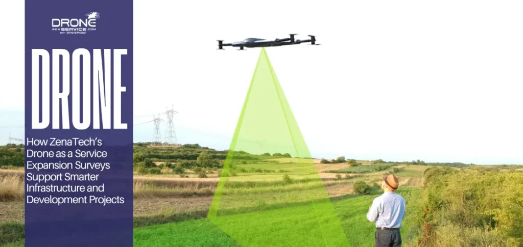
How ZenaTech’s Drone as a Service Acquisition Strategy Drives Revenue Growth and Operational Scalability
EXECUTIVE SUMMARY
Drone as a Service grows by acquiring teams and expanding across many locations, not just building from scratch. Businesses may now easily obtain AI-powered aerial intelligence and industry-standard services without having to develop their own internal drone programs.
What Is ZenaTech’s Drone as a Service Acquisition Strategy?
ZenaTech’s recent growth strategy for Drone as a Service is based on acquiring existing operators across different regions.
Rather than starting from scratch, the acquired teams, clients, and workflows are instead integrated into one platform. It allows Drone as a Service to scale faster compared to hiring and training staff locally.
Why Drone Service Companies Acquire Established Operators
Acquisitions shorten time-to-revenue and make it less risky for a drone service company to launch in a new market.
In addition to lower risk and a quicker time-to-revenue, drone service companies also acquire other companies for the following:
- Ready-made teams of trained pilots and field staff
- Recurring contracts with construction, utilities, surveying, or facilities clients
- Local permits, insurance, and regulatory relationships
- Existing sales and service workflows that can be standardized
How Acquisitions Accelerate Operational Scalability
Acquisition-based strategies increase scalability because parent organizations don’t need to recreate existing pilots, permits, and client lists.
Additionally, they make these new locations part of a bigger network. Here’s what acquired operators can do:
- Provide services to its existing customers under the parent brand.
- Obtain standardized tools, like templates, AI, and software.
- Support service requests over a greater geographic area.
Why Is Acquisition-Led Growth Important in Drone Services?
Acquisition‑led growth matters in drone services. It lets companies quickly absorb proven work, teams, and customers instead of starting from scratch. A good drone acquisition strategy helps firms expand volume and operational efficiency together.
Access to Existing Customers and Regional Expertise
Accessing existing customers speeds up credibility in new markets. Acquiring a local operator provides an established track record with local regulators, utility companies, mining organizations, and construction firms, reducing redundant effort. It also preserves local expertise in weather, terrain, and safety culture.
Faster Market Expansion
Market expansion simply happens when a company acquires other drone teams in various regions.
Rather than waiting for organic growth, the parent organization can integrate those teams into a common playbook and platform of services. This way helps to accelerate the implementation of standardized drone acquisition strategy programs in new provinces or countries.
Operational Efficiency Through Integration
Single flight planning, reporting processes, and back-end systems streamline management of acquired drone operations. Placing these tasks side by side streamlines the process. The overall result is a more efficient process and a lower overall marginal cost for the entire portfolio.
How Does Drone as a Service Generate Recurring Revenue?
Drone as a Service generates repeatable revenue by selling drone services as a recurring service, depending on time, volume, or asset. The approach involves recurring revenue for drone services and booking such flights on a regular basis.
Subscription-based Drone Operations
Subscription drone operations have a fixed monthly or quarterly fee for regular data collection, processing, and reporting. This arrangement also helps customers as they know how much they will pay. It helps suppliers because they have more regular cash flows and easier cash flow planning.
On-demand Enterprise Drone Services
On-demand enterprise drone services let large organizations call on a drone fleet only when needed.
Each project is billed separately, but frequent use across sites and teams still creates steady pipelined work. These engagements often roll into light annual agreements where clients schedule follow-up missions all year round.
Long-term Infrastructure and Inspection Contracts
Long-term infrastructure contracts assign drone operators to support roads, utilities, and industrial sites with scheduled inspections and reporting standards. For these long-term contracts, drone data is crucial for maintenance and safety. It also allows firms to continuously provide services.
How Do Drone Acquisitions Improve Operational Efficiency?
Drones eliminate the need for teams to manually collect data, climb structures, or walk over large sites. They make inspections faster and cut down the amount of manual reporting involved.
Reduced Manual Workflows
Drones reduce the need for human resources in terms of information gathering and in-person access to the area. They also minimize the amount of time needed for inspections and reports.
Common workflow gains include:
- Faster site surveys and progress checks
- Less manual measurement in hard-to-reach areas
- Fewer repeat visits for visual documentation
Centralized Operational Intelligence
Drone management will be more structured as imaging, mapping, and sensing data are collected from one central location. It helps managers gain better insights regarding the conditions at the site.
Centralized operations support:
- Condition tracking over time
- Easier comparison between sites
- Faster maintenance planning
- Better alignment with GIS, ERP, or asset records
Scalable Field Operations Across Locations
Standard flight plans and reporting templates make drone operations easier to replicate across multiple sites. That is a key reason operational efficiency with drones improves as programs grow.
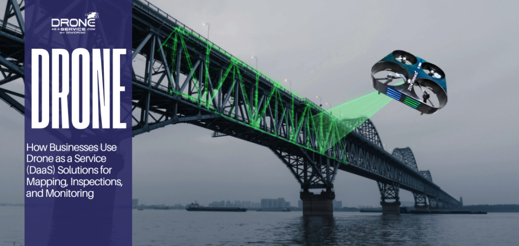
Which Industries Benefit Most from Drone as a Service Expansion?
Construction, utilities, government, and industrial inspection sectors benefit immensely from the growth of Drone as a Service.
It’s because of faster and more efficient coverage of substantial assets using recurrent drone surveys and inspections compared to conventional practices.
Construction and Infrastructure
Drone as a Service provides regular aerial surveys and 3D models that help construction and infrastructure teams monitor their progress without stopping operations. The weekly or monthly data sets provided by the drones can help detect unnecessary reworks easily.
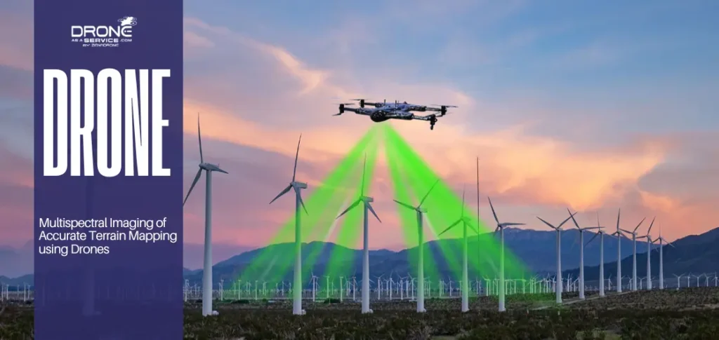
Utilities and Energy
Energy companies use drone services to inspect power lines, substations, and renewable sites like wind and solar farms. as covered in our guide on drones transforming renewable energy and inspection.
The cameras and heat sensors on drones can help track problems such as unmanaged plants, rust, or overheating parts. They reduce the need for time-consuming manual inspections.
Government Operations
It is used by the government and public security services to inspect highways, bridges, storm drains, and flooded areas. The integration of drone data in the GIS system enables proper allocation of funds.
Industrial Inspections and Monitoring
Refineries, petrochemical plants, and manufacturing sites use Drone as a Service to inspect tanks, stacks, and other hard-to-reach equipment safely. Drone missions can also be scheduled around production windows to collect detailed inspection data with less disruption.
Unlike traditional inspections, enterprise drone services enable standard reporting and repeatable flight paths.
How Does AI Improve Drone as a Service Operations?
AI transforms drone data into quicker and more reliable decision-making. It also decreases manual labor and improves reliability within extensive services.
AI analytics for Aerial Intelligence
AI analytics of aerial intelligence can detect items, faults, and changes in large amounts of data very quickly. It improves the process of turning flight data into insights for operators.
Automated Inspections and Monitoring
Automated inspections and monitoring use AI to compare new flights against past baselines and flag only meaningful changes. That reduces review time and helps teams focus on assets that need attention.
Real-time Operational Visibility
AI gives you real-time operational insight that is critical to understand and optimize operations. It transforms visuals and sensor data into information managers can understand.
AI drone analytics offer easier mission performance monitoring and asset management. With that, it makes it easier for teams to generate reports.
Key benefits include:
- Faster identification of asset anomalies
- Fewer manual checks of normal-state assets
- Better alignment between inspections and maintenance workflows
Why Are Surveying and Mapping Companies Key Acquisition Targets?
Surveying and mapping companies can be a perfect fit for acquisition. A couple of these reasons are client loyalty and compatibility with drones. Surveying company acquisitions fast-track expansion without starting from zero with each client.
Existing Regional Client Bases
Surveying firms often work with construction, infrastructure, and utility companies in defined territories. These firms already hold trusted relationships that can support immediate drone service adoption.
It makes them attractive targets because buyers gain:
- Existing regional accounts
- Local market credibility
- Familiarity with permitting and compliance
- Access to repeat project pipelines
Strong Recurring Operational Demand
Drone surveying work repeats often across planning, progress checks, and final documentation. Because the same sites come back for as-built and volume surveys, teams can set a fixed schedule and build revenue. That pattern turns periodic tasks into reliable and predictable work.
Compatibility with Drone Automation
Survey operations are methodical and easy to automate using drones and other technology. Typical processes include topographic surveys and volumetric calculations, both of which can be done effectively in automated flights.
That compatibility improves acquisition value because it allows:
- Faster drone deployment after acquisition
- Easier standardization across projects
- More expansible data collection
- Better integration with AI tools
How Does ZenaTech Scale Multi-Location Drone Operations?
ZenaTech uses regional hubs, cross-selling services, and standard processes to scale drone operations for multiple locations.
This framework allows for scalable drone operations in different sectors. The deliveries would be more consistent, and operations would have fewer hiccups.
Regional Service Hubs
Drone services are brought closer to the customer site with regional service hubs. This helps teams be more sensitive to change and handle rework more efficiently.
Drone as a Service is ideal for a wide range of industries including agriculture, inspections, security, warehouse operations and surveying. Its larger setup enables services to be deployed to areas without having to develop the entire delivery model each time.
- Local hubs enable faster dispatch for inspections, scans, and monitoring.
- Nearby teams can manage repeating work across several facilities or field locations.
- Regional coverage helps the business grow while keeping service delivery more organized.
Cross-Selling Operational Services
ZenaTech serves more customers by also offering a solution with the drone, which leads to increased operational work from the same base.
Typically, customers begin with one application and then transition to other uses, from agriculture and mapping to thermal scanning and security.
Standardized Drone Workflows
Standardized processes make consistent service quality across all locations.
Standardizing the workflow makes drones more scalable because it’s easier to replicate. This makes things like scheduling and training much easier.
Traditional Service Models vs Drone-Enabled Operations
Drone-based operations move services from the field to preplanned and programmed aerial data workflows. This shift enhances the ability of organizations to scale operations, keep track of assets, and manage various activities across multiple sites.
Speed and Scalability Comparison
High logistics costs, physical constraints, and the number of necessary onsite teams make traditional surveys slow. Drones, however, are scalable and easier to centralize, require less onsite teams and have broad coverage.
Operational Visibility Comparison
Shifting to aerial data capture improves operational visibility. Traditional methods rely on periodic inspections and long reporting cycles. These delays can hide issues at distributed sites until it’s too late.
Drone-based systems capture standardized data and deliver live updates while work is ongoing. Centralized dashboards make coordination faster across multiple locations. Teams see problems sooner and act faster.
Automation and Efficiency Benefits
Drone automation services integrate aerial operations and data capture systems and move and reorganize workflows from manual to digital processes.
Standard inspection, scheduling, and monitoring trim repetitive work. Not to mention automated flight planning and reporting to provide more consistency across operations for distinct teams.
What is the Future of Acquisition-Led Drone Services?
Acquisition-based drone services are anticipated to expand through consolidation, automation, and enhanced system integration. It provides greater geographic coverage and uniformity of services across multiple industries.
Growing service reach, growing autonomy, and service operational ecosystems with AI are the factors driving the sector’s direction.
Global Drone as a Service Expansion
The expansion is centered on the structured deployment models to extend the drone service coverage to several regions. Acquisition strategies can enable companies to enter a market more quickly by acquiring the networks in which they operate.
This expansion strengthens consistency across regions by aligning service delivery under unified operational frameworks tied to global Drone as a Service expansion.
Autonomous Operations
Adopting autonomous operations will lessen the need for manual flight control — a shift already underway with next-gen drone innovations – by shifting to pre-programmed and system-managed drone missions. It provides a greater consistency in the data captured and helps to reduce variability in operations.
Autonomy will allow scalable deployment through enabling repeatable missions in different environments with less human involvement.
Integrated AI Drone Ecosystems
The integrated AI drone ecosystem is an integrated solution that brings together data capture, analytics, and decision systems for operations. It allows for more efficient processing and application of the drone output in enterprise workflows.
Conclusion
Acquisition-led scaling plays a role in shaping the impact and potential of a Drone as a Service approach across sectors. It does so by leveraging local market knowledge, pooling existing customers, and implementing standardized protocols to drive wider adoption across regions.
High productivity through AI and repetitive workflows will drive predictable surveying, inspection, and mapping services and provide highly valuable features.
These are higher data reliability, structured enterprise decision making, and predictable recurring income. The new way of working with drones will focus on acquisitions, automation, and data intelligence in one scalable system.