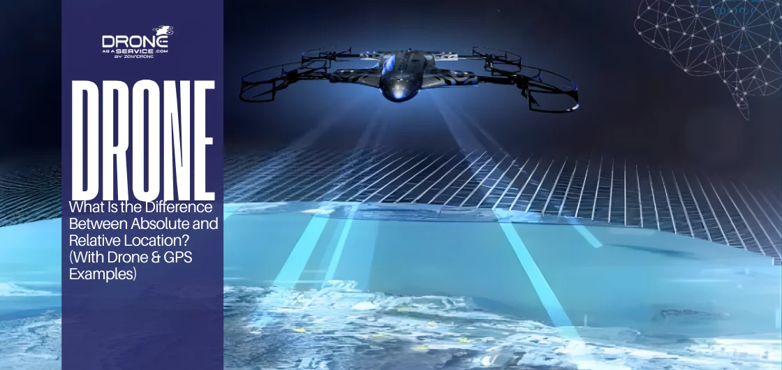
What Is the Difference Between Absolute and Relative Location? (With Drone & GPS Examples)
The difference between relative and absolute locations lies in precision and context.
Absolute location provides an exact, measurable position using coordinates, while relative location describes a place based on its surroundings without specific measurements.
Technologies like GPS and drones rely on both to function accurately and safely.
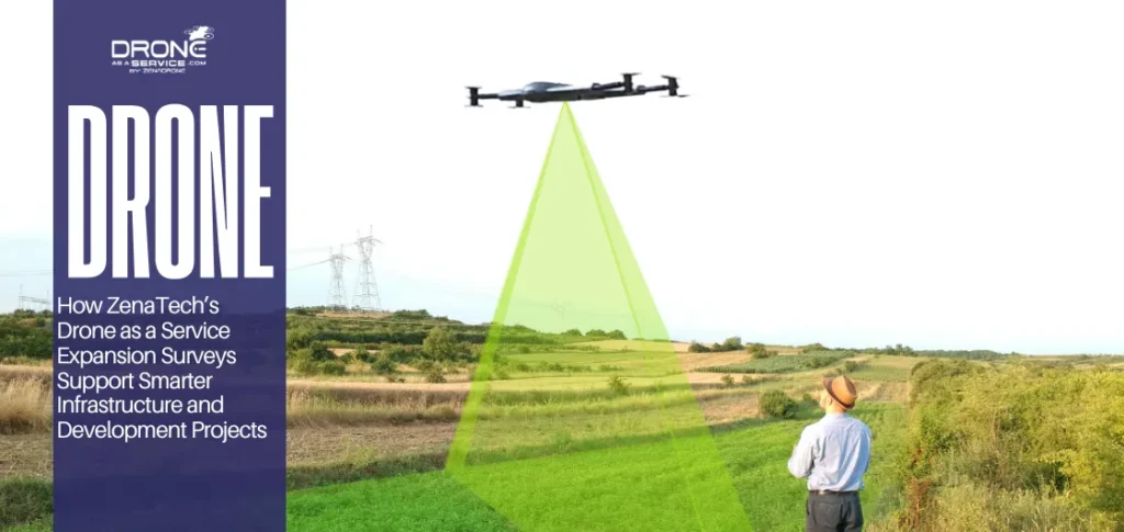
The difference between relative and absolute location is knowing how we navigate and map the world. Navigation and mapping are based upon two primary ideas of locating things: absolute location and relative location. Understanding the difference between relative and absolute locations helps clarify how we find things, give directions, and use current technologies, such as GPS, maps, and drones.
An absolute location simply describes where a location is at all times using constant references. On the other hand, a relative location defines where a location is in comparison to its immediate surroundings (landmarks, reference points) or the surrounding areas. These two methods of location are used daily, usually unconsciously, when we give directions, try to get our bearings in a new location, or track a drone’s flight path.
The moment you pull up a map, follow a set of turn-by-turn directions, or look at a location on your phone, you are already utilizing both forms of location. Absolute location provides exact, quantifiable positioning in terms of numerical coordinates (degrees of latitude and longitude). On the other hand, relative location provides real-world context and makes a location easier to comprehend by showing where it is in relation to something else.
Learn more about these two types of location in this article. Get to see how they differ, and provide examples of how most modern navigation systems, including GPS, drones, etc., rely on both absolute and relative location to function correctly.
Difference Between Relative and Absolute Location (Direct Answer)
The most significant difference between relative and absolute location is that an absolute location describes exactly where a place is, with precision, whereas a relative location indicates the relationship of one location to another (by proximity, a landmark, or a directional reference).
- An absolute location is a fixed point of a place by using a measurable reference system, i.e., latitude and longitude.
- A relative location is described in terms of its relation to other geographical or artificial features in terms of direction, distance, etc.
An absolute location gives you a precise location, while a relative location presents you the context of where you are—both types of locations will be used in all forms of travel.
What Is Absolute Location?
An absolute location describes the exact and fixed position of a particular point on Earth. The position does not change with respect to viewpoint, surroundings, or who is describing that location. Once established, a location always points to that same point.
An absolute location is defined using:
- Latitude and longitude measure the position north or south of the equator and east or west of the prime meridian.
- Geographic coordinates provide numeric values to pinpoint a precise position on the Earth’s surface.
- Global reference systems, such as GPS, use satellite signals to calculate exact locations.
- Maps and Geographic Information Systems (GIS) store, analyze, and display location data for navigation, planning, analysis, and many other applications.
- Since a location relies on standardized geographic coordinates, it is widely used in navigation, mapping and surveying, emergency response, aviation, and drone operations.
Regardless of whether the location is accessed through a smartphone map, a GPS receiver, or professional GIS software, a location provides the same point consistently and accurately to anyone, anywhere.
Simple and Geographic Example
The Eiffel Tower has a precise location, with specific geographic coordinates. Geographic coordinates are a fixed reference point for a particular place on Earth’s surface. Regardless of whether you’re in Paris, coming to Paris from Manila, or seeing this place via satellite images, the same set of coordinates will always take you to the Eiffel Tower. This technique is what makes absolute location reliable for creating maps and finding your way around the world.
The geographic coordinates remain consistent because they don’t rely on anything nearby, such as roads, buildings, or other features in the immediate area. If roads were built nearby, or if some of these landmarks were changed or removed, the absolute location of the Eiffel Tower would remain the same.
Drone Navigation/GPS Example
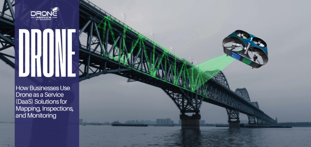
A drone can stay in one place at a time, fly along a predetermined path, and return to the starting point safely using absolute location satellite signals.
For all these professional drone uses, such as inspection, mapping, and surveying, the drone’s absolute location enables it to fly in a repeated pattern and collect data from the air with precision and accuracy.
Absolute location supports many of the location-based systems used today, including:
- Navigation Apps: Provide users with accurate directions to get them from one place to another.
- Tracking Satellites: Requires absolute knowledge of their positions in space so satellite engineers can accurately monitor their movement and location.
- Mapping and Surveying: The actual locations of all areas, buildings, landmarks, and other features are determined using data collected during surveys and mapping to plan for future development, assess land use, or analyze an area.
Autonomous systems require a known, fixed location to operate safely. Given the critical role absolute location plays in enabling the functionality of today’s location-based mapping and navigation technologies, it is a crucial part of those technologies.
All of these systems depend on the accuracy of absolute location to function correctly, making it an essential component of today’s mapping and navigation technology.
What Is Relative Location?
Relative location describes where a place is in relation to other areas or features. Instead of using exact coordinates, it represents location using nearby landmarks, distance, direction, or common reference points. Relative location gives context, helping people understand a place’s position in the real world.
Using relative location, a place can be described in three main ways:
Proximity to something familiar
For example, a café might be described as “next to the city library” or “across the street from the park.” This type of description uses landmarks to help find a location without precise coordinates.
Distance from another point
Sometimes a location is expressed in measurable distance, such as “two miles north of the train station” or “five blocks from the main intersection.” This gives a sense of how far you need to travel to reach the place.
General direction
A location can also be described in terms of direction relative to another point. For instance, “west of the river” or “south of the stadium” tells you the general orientation without giving exact coordinates.
Relative location is a valuable tool for navigation & communication systems, i.e., giving directions and defining neighborhoods. It can be adjusted as landmarks or landscapes change, which makes it very useful. This type of location reference utilizes proximity to other reference points and is far superior to absolute locations when providing contextual information about spatial relationships; therefore, it is better suited for human navigation, local direction finding, and communicating spatial relationships.
Everyday Navigation Example
Relative location is what we use most often in daily life when exact coordinates are unnecessary.
For instance, if someone says, “The coffee shop is located directly across the street from the local mall,” you can find it without needing the exact coordinates. The main point of relative location is to provide practical direction rather than to determine the precise position.
Relative location is used in many types of daily navigation, including:
- Verbal Directions: Verbal instruction for getting from one landmark to another via streets/neighborhoods/buildings.
- Walking Directions: Instructions for walking through neighborhoods/school campuses using visual references.
- Traveling to Work/School: Traveling to these locations by referencing railroad stations/highway intersections/neighborhoods, etc.
- Navigating Around Town: Locating shops/restaurants/services by referencing landmarks near you instead of a map.
Relative location works best when understanding surroundings and context is more important than precise location. In other words, instead of providing exact coordinates, telling someone that a clinic “is two blocks east of the main park” will allow them to find it quickly without knowing the coordinates.
In reality, relative location allows people to get their bearings and plan efficient routes in unfamiliar areas and to provide directions that anyone can understand.
Absolute vs Relative Location (Comparison Table)
When thinking about the difference between absolute and relative locations, comparing them on factors such as accuracy, stability, how they are described, and what they can be used for will help clarify the distinction.
Below is a comparison table that makes it easy to see when you should use an absolute or a relative location.
| Feature | Absolute Location | Relative Location |
|---|---|---|
| Accuracy | Highly precise | Approximate |
| Stability over time | Fixed and unchanging | Can change as surroundings change |
| How it is described | Coordinates, satellite signals data, maps | Landmarks, distance, direction |
| Best use cases | Navigation systems, mapping, surveying | Daily directions, local orientation |
This comparison of absolute vs. relative location highlights why both systems are used together rather than separately.
Why the Difference Between Absolute and Relative Location Matters
Understanding the difference between relative and absolute location affects practical decision-making across many fields.
Navigation: Navigation apps rely upon the absolute location (satellite-based positioning) to determine the user’s exact position. It will provide accurate positioning and allow the application to calculate routes, estimate travel time, and provide the most current directions.
These applications use both absolute and relative location clues to make navigation easier for users. Users can use street names, nearby landmarks, intersection points, and turn-by-turn directions to figure out their way to a destination without having to decipher satellite-based positioning coordinates. The absolute location provides the accuracy, while the relative location provides the confidence for the user to follow the directions.
Education: Students develop a better understanding of spatial awareness by learning that geographic locations can be described using either coordinate-based or context-based descriptions. Students will learn about absolute location and how to identify a specific location on a map using latitude and longitude. Students will learn about the relative location to understand the relationship between two or more places in a region.
Using both methods of describing locations, students will have a better understanding of geographic relationships and be able to apply this knowledge in real-world situations.
Emergency Services: Emergency services use both forms of location to accomplish their mission. Dispatchers use the absolute location to correctly route emergency vehicles (such as ambulances, fire trucks, or police units) to the exact address or coordinates. While the car is en route to the incident location, dispatchers will relay relative location information to assist the responder in finding the patient or hazard faster by providing landmark references, distance estimates, and directional information in complex or congested environments.
Mapping and Planning : Urban planners and engineers need to use absolute location to ensure accuracy in mapping, construction, and infrastructure design. Coordinates are required in order to locate streets, utilities, and buildings with precision. As urban planners and engineers begin planning the layout of a city, relative location information is used to describe how each element relates to other elements in the city (e.g., residential areas to schools and parks).
By combining both methods, urban planners and engineers can design cities that are both technologically accurate and functional for daily life.
How GPS and Drones Use Absolute and Relative Location Together
The drone uses satellite signals to pinpoint its location on Earth. A network of satellites sends signals with time stamps to the drone’s satellite-based positioning receiver, which calculates the distance to each satellite based on the time it takes for the signals to arrive.
Absolute Location (Satellite Data)
A drone uses satellite signals to determine its exact position on Earth. By connecting to multiple satellites, it can identify its precise location, including latitude, longitude, and altitude.
Relative Location (Surroundings Awareness)
In addition to knowing its exact position, a drone must understand its surroundings to fly safely. This includes recognizing nearby objects, obstacles, landmarks, and its height above the ground, which helps the drone navigate and avoid collisions.
Using multiple sources to determine your location is vital for safe navigation and collision avoidance while flying. The drone uses both satellite-based positioning coordinates and sensors to pinpoint the exact landing location, which is especially important when the landing surface is not rigid. The combined effect enhances the reliability and adaptability of satellite signal-based systems.
Can Absolute or Relative Location Change Over Time?
Absolute location is mostly fixed in one way: an object’s absolute location is fixed until a considerable amount of geologic time has passed, and then its coordinate values will change.
Below is how it works:
- For instance, when you are in New York Harbor and identify your position using the Statue of Liberty’s coordinates, they do not change, no matter what happens around you. Consequently, the Statue of Liberty has an absolute location that is both constant and reliable, which is very useful for individuals needing to know their location at all times (such as satellite signal users, surveyors, and cartographers).
The relative location of an object may change depending on what happens to the surrounding area, i.e., the locations of other objects, roadways, etc.
To show you how a relative location works, let us look at an example:
- We say that a café is “next to the old library”. When a shopping mall is built near the cafe, the cafe’s relative location is now stated as “across from the new mall,” even though it is still at the exact same location. The coordinates of a building will always remain the same; however, its relative location may change when a new road, structure, or landmark is added nearby.
Common Confusion About Absolute vs Relative Location
- Relative Location isn’t Useless: Some may think relative location is less significant than absolute location, but its value in facilitating communication and navigation cannot be denied. The advantages of using relative location are numerous, as it makes it much easier for an individual to understand their physical surroundings by providing a way to identify distances, directions, and recognizable landmarks from their current location. Therefore, using relative location makes it easier to find your way to a destination than finding your exact coordinates.
- Absolute location isn’t just about numbers. Absolute location is generally viewed as simply being numerical coordinate values. However, numerous functions and operations occur behind the scenes for absolute location, including satellite-based positioning, mapping applications, surveying, and emergency services. These systems operate safely and effectively because they can identify a person’s exact location, as required for safe and effective operation.
- Absolute Location vs Relative Location aren’t Rivals
Relative and absolute positions are not mutually exclusive; they provide alternative methods for identifying the same position. Contemporary technologies, including satellite signals, mobile mapping apps, and UAVs (drones), use a combination of both position-determination methods. A UAV uses absolute location via satellite-based positioning to determine its exact position in space, and it uses relative location via a video feed or onboard sensor data to navigate, avoid obstacles, and maintain desired altitudes. The use of both forms of position determination provides the UAV with an exact, context-aware position.
Understanding absolute location and relative location is learning how precision and context relate to one another.
(FAQs)
Is absolute (fixed) location better than relative (landmark) location?
Can one place have both an absolute location and a relative location?
Why does one see more of relative location in daily life?
In what way do drones rely upon location data?
Does GPS describe an absolute or relative location?
Do maps utilize an absolute or relative location?
Final Takeaway
The difference between relative and absolute location is that absolute locations provide precise positions via satellite signals and coordinates, whereas relative locations provide positions relative to a reference point. In contrast, relative locations describe a location relative to its surroundings or nearby landmark(s). They both have uses in drone technology, mapping, and navigation, but neither can be used alone. When we use both, we can locate ourselves accurately and effectively.
Final Positioning Statement
This article defines relative and absolute locations and compares them directly. It also provides examples of how to determine the type of location being referenced and when to use each, using satellite-based positioning devices and drones.