What Is VR Drone Mapping and How It’s Transforming Modern Surveying
What Is VR Drone Mapping?
VR drone mapping combines aerial data captured by drones with immersive virtual reality technology, allowing users to experience detailed 3D environments as if they were physically on-site. This integration turns traditional mapping into an interactive, visual experience, giving teams the power to analyze, inspect, and collaborate remotely with precision.
At Drone as a Service (DaaS), we leverage advanced drone mapping solutions to convert aerial data into high-definition 3D models that can be explored in VR. It’s not just about viewing maps — it’s about experiencing the environment and making smarter, data-driven decisions.
How VR Drone Mapping Works?
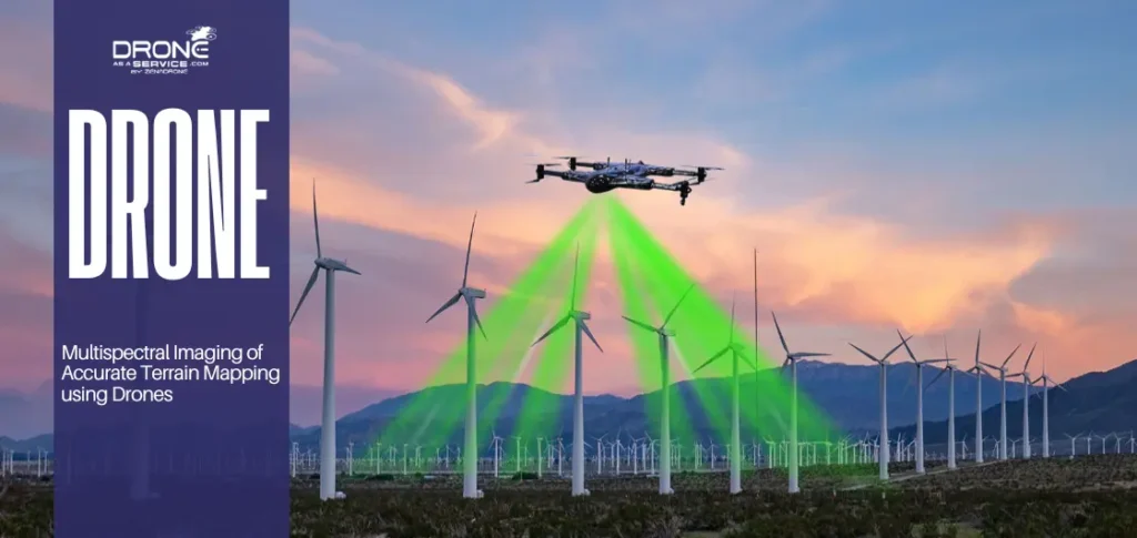
The process begins when drones equipped with high-resolution cameras and LiDAR sensors capture aerial imagery and spatial data. Using photogrammetry, this data is transformed into accurate 3D models or “digital twins.” These models are then imported into VR software, allowing users to virtually “walk through” construction sites, agricultural fields, or industrial areas from any location.
By merging drone mapping with VR visualization, stakeholders gain a 360-degree understanding of their projects without the need for on-site visits. It’s a new level of clarity and collaboration that 2D maps simply can’t match.
Key Applications Across Industries
Construction & Infrastructure
Project teams can visualize construction progress, perform site inspections through drones, and identify potential design conflicts all inside a virtual 3D model. VR drone mapping enables more efficient planning and faster decision-making before ground operations even begin.
Agriculture & Farm
Farmers and agronomists can analyze crop monitoring, field layouts, and irrigation patterns in immersive detail. This helps detect issues early, optimize yields, and manage large-scale farms with minimal on-site labor.
Energy & Utilities
From wind turbine inspections to solar panel monitoring, VR drone mapping enhances safety and accuracy. Engineers can assess assets virtually, reducing risks and downtime.
Environmental Surveying
Researchers can study landscapes, forests, and waterways through precise 3D visualizations, supporting conservation projects and environmental assessments with accurate, up-to-date data.
Our teams are already using these methods to deliver reliable, real-time insights for clients across sectors.
Read also: Drone Technology: Reshaping the Future of Environmental Management
Benefits of VR Drone Mapping
Enhanced visualization: See your project from every angle in full 3D detail.
Improved collaboration: Multiple stakeholders can explore and discuss the same virtual model simultaneously.
Faster decisions: Realistic views help teams identify issues and take action quickly.
Reduced field time: Minimize travel and on-site inspections through virtual access.
Safer operations: Inspect hazardous or remote areas without physical exposure.
VR drone mapping streamlines complex surveying tasks into a seamless, data-rich experience.
The Future of Aerial Data Visualization
VR drone mapping is reshaping how organizations understand and interact with spatial data. As technologies like AI and digital twins evolve, immersive mapping will become a standard part of project planning, monitoring, and maintenance.
At Drone as a Service, we’re committed to integrating these innovations from drone data collection to VR visualization to help clients make faster, more informed decisions through accurate, immersive insights.
FAQ Section
What is VR drone mapping?
VR drone mapping combines aerial imagery captured by drones with virtual reality software to create interactive 3D models of real environments.
How is VR drone mapping different from traditional drone mapping?
Traditional drone mapping provides 2D maps or 3D models, while VR drone mapping allows users to explore those models in an immersive, walk-through virtual environment.
What industries benefit most from VR drone mapping?
Construction, agriculture, energy, utilities, and environmental research industries use VR drone mapping for planning, inspection, and remote collaboration.
What equipment or software is used in VR drone mapping?
It typically involves drones with LiDAR or high-resolution cameras, photogrammetry software, and VR visualization tools like Unreal Engine or Unity.
How accurate is VR drone mapping data?
With advanced sensors and GPS correction, VR drone mapping can achieve centimeter-level accuracy, making it reliable for engineering and surveying tasks.
Conclusion
VR drone mapping isn’t just an upgrade to traditional surveying it’s a transformation. By combining the precision of aerial data with the power of virtual reality, businesses can explore their environments in ways that were never possible before.
If your organization is ready to unlock the potential of VR drone mapping, connect with Drone as a Service to explore how immersive technology can elevate your next project.