Autonomous Drones Technology for Automated Monitoring & Data Collection
Enterprises struggle to consistently monitor assets, sites, and operations across large, complex environments. Manual inspections are slow, error-prone, and often expose teams to unnecessary risk while delaying critical decisions. The complete operational framework of industrial regulations is undergoing fundamental changes as autonomous drone technology becomes a part of it. The ability to collect precise data without intervention has become essential for businesses to maintain competitiveness. Modern businesses use automated drone monitoring systems that operate independently and provide information to their primary business intelligence platforms.
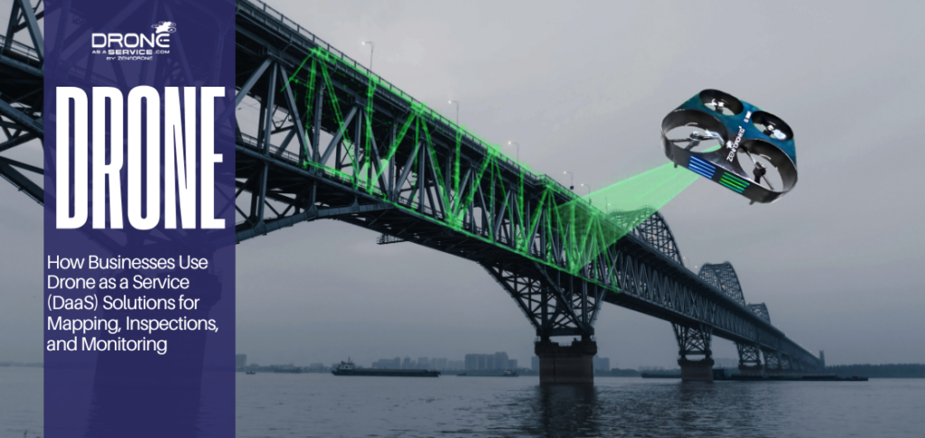
The elimination of pilots, along with their operational field duties, leads to reduced human error and enhanced productivity through automation. An automated drone can now finish traditional manual inspections, which previously required weeks to complete while endangering team members. The implementation of autonomous drone technology enables businesses to efficiently manage their warehouse operations and conduct critical infrastructure assessments. Furthermore, optimize their complex field operations by providing solutions that address their historical data-collection challenges.
This article investigates the software development systems, the essential features, and development patterns that influence businesses to adopt autonomous drone technology.
Introduction to Autonomous Drone Technology
Autonomous drone technology combines real-time edge computing and Artificial Intelligence (AI). This enables operators to control UAVs that use “Computer Vision” with SLAM (Simultaneous Localization and Mapping) to navigate through complex environments.
The modern enterprise needs automated drone monitoring, enabling businesses to obtain ongoing operational intelligence instead of relying on hourly monitoring. The AI drone system enables:
- Self-Navigation: Drones that can rethink their path in real-time to avoid new obstacles or changing weather conditions.
- Automated Flight Paths: Precision-engineered routes that achieve 100% asset coverage without requiring manual control from operators.
- System Integration: The process that transforms recorded video into real-time data streams that connect with enterprise resource planning (ERP) systems.
The real power of these systems exists within their software components. The hardware functions as the wings of the system while the software operates as its brain, controlling data collection and security.
Importance of Automated Monitoring and Data Collection
The industrial sector in 2026 operates at such a rapid pace that companies cannot afford to wait for manual reports. The automated drone monitoring system provides ongoing asset and equipment, and infrastructure surveillance, which supports immediate operational decision-making.
Key Drivers of Adoption:
- Precision and Accuracy: Automated drone monitoring enables researchers to gather data from fixed GPS coordinates and specific angles during all measurement sessions.
- Predictive Maintenance: The autonomous drone detects thermal anomalies and hairline fractures to stop equipment failures from becoming major issues.
- Risk Reduction: Drones perform the “three Ds” tasks (Dull or Dirty or Dangerous), protecting workers from entering high-risk zones
- Optimized Workflows: The system sends data to ERP and CRM systems, which activate automatic work order creation and inventory management, eliminating manual input.
Key Features to Look for in Autonomous Drone Software
The selection of appropriate software represents the most essential choice that organizations should make when they implement their software across enterprise environments. The platform needs to provide complete data management throughout the entire drone operation process to deliver actual return on investment.
Essential Software Capabilities:
- Real-Time Data Synchronization: The platform must provide businesses with immediate data updates for both ERP systems ( SAP or Oracle) and CRM system dashboards.
- Advanced Analytics: AI drones possess the capability to conduct edge data processing, which enables them to detect abnormal conditions like pipe leaks
- Fleet Management: A “unified command center” view that enables users to handle drone scheduling, track battery status, and maintain logs across multiple drones.
- Security & Compliance: Software needs ISO 27001 certification or SOC2 compliance to fulfill enterprise requirements. This ensures the protection of confidential drone data collection through encryption.
- API support: The need to connect with their current technical systems through API Support is essential for enterprise drone solutions.
Top Enterprise Software Solutions for Autonomous Drones
1. Drone as a Service
ZenaTech has revolutionized the market by offering enterprise drone solutions through a subscription-based model. Drone as a Service (DaaS) enables businesses to use advanced autonomous drones without incurring the high costs of drone ownership.
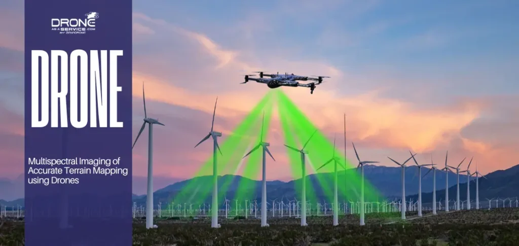
- Hardware Ecosystem: Zenatech hardware contains the IQ Nano drone that operates as a 10×10-inch device for indoor warehouse monitoring and RFID scanning purposes. The ZenaDrone 1000 provides heavy-lift capabilities and 4K multispectral imaging for its outdoor applications.
- Enterprise Integration: Their software provides seamless ERP and CRM integration through its API-first design approach, which makes it an industry-leading solution. The system automates both quote-to-cash and inventory-to-report business processes.
- Pros: The client faces no financial risk because the system provides advanced AI automation with no need for user involvement.
- Cons: The system requires an organized setup process, which establishes the connection between drone data and ERP system fields.
2. FlytBase
The FlytBase platform stands as the top software solution for “Drone-in-a-Box” (DiaB) systems, focusing on autonomous drone fleets from remote locations.
BVLOS Operations: enables operators to conduct BVLOS Operations through one base station and to control automated drone units across different countries.
Safety and Redundancy: it uses Dynamic Path Planning and Failsafe protocols to protect the drone from stopping mid-flight on low battery and network connection.
Pros: It provides scalability, which enables it to control multiple docking stations while maintaining strong security standards through GDPR and SOC2 compliance.
Cons: it needs advanced technical skills to operate. It also requires organizations to have an entire IT or robotics staff to develop custom API workflows.
3. DroneDeploy
DroneDeploy establishes itself as the industry benchmark, which companies use for their reality capture and 3D modeling requirements. The tool began its existence as a mapping solution but developed into an extensive cloud-based analytics system.
- Digital Twins: The system creates detailed 3D models that represent construction sites and mining operations, and agricultural fields. Stakeholders can use “digital twins” to conduct virtual site walkthroughs from any location around the globe.
- User Experience: DroneDeploy ranks as the most accessible solution among top systems because non-technical staff can start missions through simple tablet taps.
- Pros: The system provides access to a comprehensive collection of third-party applications while delivering top-tier visual data processing capabilities.
- Cons: The system becomes pricier when users require additional data storage solutions. The system does not prioritize “indoor” autonomous navigation development as effectively as ZenaTech.
How to Choose the Right Autonomous Drone Software
The organization needs to follow a methodical approach because multiple drone solutions exist for enterprise use.
Define the Mission Type: Do you need indoor inventory tracking (favor ZenaTech), remote site security (favor FlytBase), or complex 3D topographical mapping (favor DroneDeploy)?
Verify Compatibility: The technical “sandbox” should be requested for testing purposes to determine how drone data integrates with your existing CRM system. The costs for custom API development should be assessed when the integration process does not function as a “plug-and-play” solution.
Scalability and Training: The organization should evaluate which training method will best suit its staff members. The software becomes too difficult because users who need to avoid “human error” will make mistakes at their computer desks.
Pricing and TCO: The organization needs to calculate total ownership expenses. The software license appears inexpensive, but it requires ongoing manual data cleaning, which creates hidden costs. Subscription models (DaaS) tend to deliver superior value over time because they include hardware updates.
Case Studies and Success Stories
Case #1: Warehouse Inventory (Logistics Sector)
A global retail giant partnered with ZenaTech to deploy IQ Nano for warehouse automation. Inventory audits, which take 20 workers and their forklifts over a weekend, are reduced. While inventory accuracy increased in deploying an automated drone fleet flying at night-only flights, saving this company millions from lost stock.
Case #2: Energy Infrastructure (Utility Sector)
A European power company executed thermal panel testing at its solar facilities using FlytBase. The team used AI drones with thermal sensors to discover “hotspots,” which represent failing cells that remained hidden from visual inspection. The solar farm achieved its first-year energy output increase because the team used targeted repairs to solve existing issues.
Case #3: Environmental Management (Public Sector)
Autonomous drones became a pioneering technological development for environmental management. They patrolled both coastal erosion areas and locations where illegal sewage was dumped. The drones supplied government ERPs with real-time multispectral data, which enabled prompt execution of legal enforcement activities and environmental conservation efforts.
The enterprises demonstrate measurable results through their various operational examples, including cost reductions, productivity improvements, and a decrease in error rates. The success stories demonstrate how selecting the appropriate platform becomes critical for accomplishing specific business functions.
Integration Benefits with ERP and CRM Systems
The operational efficiency of two systems reaches its optimal point when autonomous drone technology meets business software solutions. Establishing a comprehensive digital framework enables organizations to transition from handling maintenance tasks to achieving ongoing operational improvement.
- Data Entry Automation: The process of manual data input leads to the creation of “dirty data” problems. Drones establish a direct connection that delivers verified data to the ERP system. This maintains complete accuracy of financial and operational documentation.
- Improved Collaboration: The process of drone-based 3D construction site mapping enables architects, contractors, and clients to view identical site information simultaneously. In which, this helps to minimize construction disputes and rework activities.
- Enhanced Customer Experience: The CRM system’s drone-based service delivery enables customers to track their service progress, which creates customer assurance through operational visibility. The client portal allows customers to access automated aerial progress reports about their new facility construction.
- Predictive Logistics: AI models use historical drone data collection analysis to determine equipment failure times and stockpile depletion dates. This enables the implementation of “Just-in-Time” logistics systems that decrease inventory holding expenses.
Future Trends in Autonomous Drone Technology
Looking forward to the end of the decade, there are several emerging trends set to further revolutionize the industry:
- Drone Swarms: Rather than one drone, “swarms” of AI drones will work together, communicating with each other to split one large job into smaller tasks.
- Energy Autonomy: New advances with drone technology and charging pads will allow drones to remain operational for months without human assistance.
- Evolution of Regulation: Aviation regulations all over the world are adopting the new concept of ‘Standardized Autonomy.’ Under the new regulations, obtaining permits would be easier.
- Cloud Native Fleets: This will provide the opportunity for massive processing capability far beyond the capabilities of the drone itself.
Conclusion
The move towards autonomous drone technology heralds the final step in the overall “Industry 4.0” transformation. Through the innovation of a strategic approach towards automated drone monitoring within the enterprise, businesses can effectively secure their physical assets, provide protection to their employees, and create a level of site-wide visibility that has only until now been the stuff of science fiction.
The choice in software will set the stage for the digital maturity level at which your company will exist moving forward.
The future of autonomous drone activity? It’s already arrived, and with it comes unparalleled potential to use data as the ultimate differentiator in competition.
FAQS
Can autonomous drones integrate with all ERP/CRM systems?
Yes, the majority of enterprise drone solutions operate through RESTful APIs which establish direct links to SAP, Oracle, Microsoft Dynamics, and Salesforce systems.
How do drones collect data in coastal and marine environments?
Drones collect data through their advanced multispectral and thermal sensors by detecting various light wavelengths. The system tracks coastal erosion while measuring coral health and identifying chemical pollutants through capturing specific light wavelengths.
What is the ROI of autonomous drones for enterprises?
Enterprises achieve a return of three to five times their original investment which occurs within a period of 18 to 24 months. This occurs through inspection time reduction of 80 percent which prevents equipment breakdowns that would cost millions to replace.
Can small and medium enterprises benefit?
Yes. SMEs can obtain advanced autonomous drone technology through subscription-based Drone as a Service (DaaS) eliminating expensive equipment and pilot services.
Are there security risks with drone data integration?
The risks exist until end-to-end AES-256 encryption systems provide complete protection. The leading software providers use SOC2 and ISO 27001 standards to protect drone data during the process of transmission.
What are the main benefits of using drones for marine and coastal monitoring?
Drones deliver high-resolution data which enables them to complete data collection tasks 90 percent faster than traditional boat patrols. The system can access remote locations while performing its functions in strong winds, creating “digital twins” which track coastal environmental changes.
Are there regulations for operating drones in coastal and marine areas?
Yes. The operators must comply with national aviation regulations which include FAA Part 107. The modern software system provides “Geofencing” technology which prevents automated drones from entering designated restricted airspace.