How are Drones Used Successfully in Agriculture?
Introduction
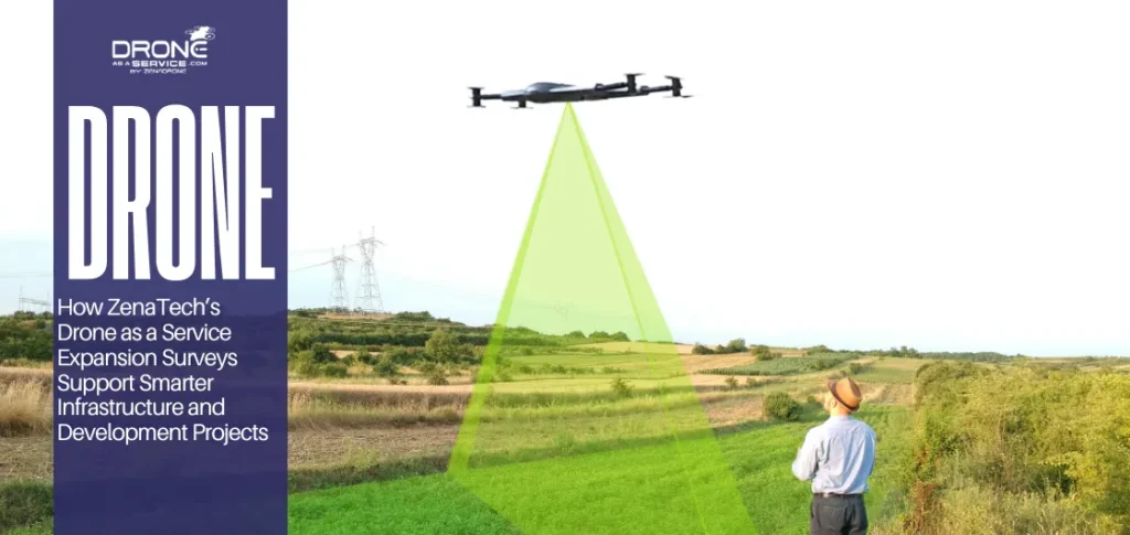
Drones in agriculture are transforming how farmers monitor crops, manage resources, and increase productivity. Instead of relying only on manual field inspections, farmers now use drones to collect high-resolution images and data that reveal crop health, soil conditions, and irrigation problems early.
By using drones for agriculture, farmers can detect plant stress, identify pest infestations, and apply fertilizers or pesticides only where needed. This targeted approach reduces costs, saves time, and improves overall crop yields while minimizing environmental impact.
Today, agriculture drones are widely used for crop monitoring, precision spraying, field mapping, and irrigation planning, making them an essential tool in modern farming practices.
What Are Agricultural Drones?
Agricultural drones, also known as farming UAVs, are unmanned aerial vehicles equipped with advanced sensors and imaging systems designed specifically for farm operations. These drones fly over fields to collect high-resolution data that would otherwise take days or weeks to gather manually.
Unlike conventional methods, drones provide a bird’s-eye view of the entire field, allowing farmers to identify issues early and act before problems spread.
How Drones Are Used in Agriculture?
Crop Monitoring and Health Assessment
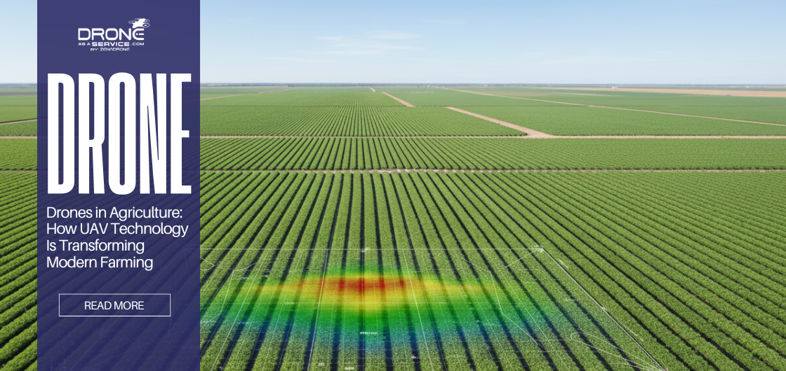
One of the most common uses of drones in agriculture is crop monitoring. Drones equipped with RGB and multispectral cameras capture images that show plant health and growth patterns. These images help farmers detect nutrient deficiencies, pest damage, and diseases at an early stage, allowing them to take corrective action before crop loss occurs.
Drones can scan large fields in minutes, providing a complete view of crop conditions that would otherwise take days through manual scouting.
Precision Spraying and Fertilizer Application
Agriculture drones are widely used for precision spraying of pesticides, herbicides, and fertilizers. Unlike traditional spraying methods, drones can target specific areas of a field instead of covering the entire crop uniformly.
This targeted spraying reduces chemical waste, lowers operational costs, and limits human exposure to harmful chemicals. It also improves plant health by applying the right amount of treatment only where it is required.
Soil and Irrigation Management
Drones help farmers analyze soil conditions and manage irrigation more efficiently. By creating elevation maps and moisture distribution models, drones identify areas where water accumulates or where irrigation coverage is insufficient.
This information allows farmers to optimize irrigation systems, prevent overwatering or underwatering, and conserve water while maintaining healthy crop growth.
Field Mapping and Crop Planning
Drones generate accurate 2D and 3D maps of farmland that help with crop planning and land management. These maps are used to study terrain features, plan planting patterns, and improve drainage systems.
With precise field data, farmers can design better planting strategies and maximize land productivity over time.
Types of Drones Used in Agriculture
Multirotor Drones
Multirotor drones are the most commonly used drones in agriculture. They can hover, fly at low altitudes, and perform precise maneuvers.
-
Ideal for crop monitoring and precision spraying
-
Suitable for small to medium-sized farms
-
High accuracy but limited flight time
Fixed-Wing Drones
Fixed-wing drones are designed for covering large areas efficiently.
-
Best for large-scale mapping and surveying
-
Longer flight time and greater coverage
-
Less suited for spraying due to limited hovering ability
Drone Size, Payload & Capability Comparison
Different farming tasks require different drone capabilities. Payload capacity determines whether a drone can carry spray tanks, multispectral sensors, or thermal cameras. Flight time and coverage area directly impact operational efficiency, especially on large farms.
Applications of Drones in Agriculture
Crop Monitoring & Health Assessment
One of the most valuable uses of drones in agriculture is real-time crop monitoring. Drones can detect plant stress, nutrient deficiencies, pest infestations, and disease symptoms long before they are visible from the ground. Early detection helps farmers reduce losses and protect yields.
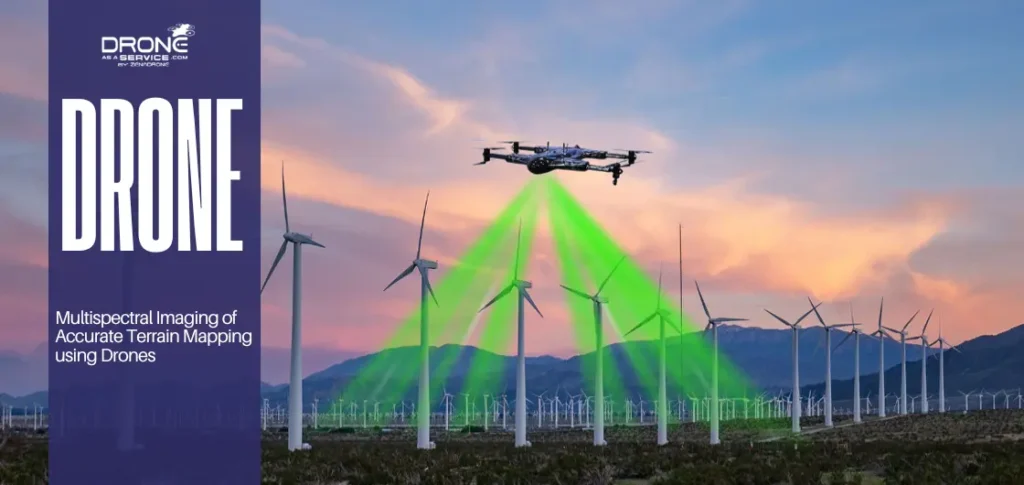
NDVI & Multispectral Imaging
NDVI (Normalized Difference Vegetation Index) and multispectral imaging allow farmers to assess plant health scientifically. These technologies highlight variations in crop vigor, helping farmers identify underperforming zones and take corrective action with precision.
Soil & Field Mapping
Drones create detailed 3D maps of fields, revealing elevation changes, drainage patterns, and soil variability. This data supports better land preparation, planting strategies, and long-term soil management.
Precision Spraying (Fertilizers, Herbicides & Pesticides)
Agricultural spray drones apply inputs only where needed. Instead of blanket spraying, farmers can target specific zones, reducing chemical use, lowering costs, and minimizing environmental impact.
Irrigation & Water Management
Thermal and multispectral sensors help identify moisture stress in crops. Farmers can adjust irrigation schedules based on actual field conditions rather than assumptions, improving water efficiency.
Planting & Seeding with Drones
Drone-based seeding is an emerging technology, particularly useful in hard-to-reach or erosion-prone areas. While still developing, it shows strong potential for reforestation and specialty crops.
Livestock Monitoring & Farm Surveillance
Drones are also used to monitor livestock, inspect fencing, and enhance farm security. Large ranches benefit significantly from aerial visibility and reduced manual labor.
Technology Behind Agricultural Drones
Modern agricultural drones combine hardware and software to deliver actionable insights. Sensors such as RGB, multispectral, and thermal cameras capture field data, while AI-powered software analyzes patterns and generates recommendations. Autonomous flight planning allows drones to operate efficiently with minimal human intervention, integrating seamlessly with farm management systems.
Benefits of Using Drones in Agriculture
Using drones in agriculture provides several important advantages:
Faster field inspections compared to manual methods
Early detection of crop stress and diseases
Reduced chemical and water usage
Lower labor and operational costs
Improved crop yields through data-driven decisions
Drones enable farmers to make informed decisions based on real-time data rather than assumptions, leading to more efficient farm management.
Challenges of Using Drones in Agriculture
Despite their benefits, agriculture drones also face limitations. Weather conditions such as strong winds or heavy rain can affect flight operations. Battery life limits coverage area per flight, and regulatory restrictions may vary by country.
However, ongoing improvements in drone technology and automation are gradually reducing these challenges and expanding drone adoption in farming.
Regulations & Legal Requirements for Agricultural Drones in the USA
In the United States, agricultural drone operations must comply with FAA regulations. Most commercial farming applications require FAA Part 107 certification. Operators must follow airspace restrictions, safety guidelines, and specific rules for spray drones. Compliance ensures safe integration of drones into national airspace while protecting people and property.
Adoption Trends & Market Growth of Drones in Agriculture
The adoption of drones in agriculture continues to grow as technology becomes more affordable and accessible. Improvements in battery life, payload capacity, and analytics software are accelerating adoption. Service-based drone models are also lowering entry barriers for farmers who prefer not to invest in equipment ownership.
Drone as a Service (DaaS) for Agriculture
Drone as a Service (DaaS) allows farmers to access advanced drone technology without owning or maintaining equipment. Service providers handle operations, compliance, and data analysis. This model is especially attractive for farms seeking cost-effective, scalable, and professional drone solutions.
Sustainability & Environmental Impact of Agricultural Drones
Drones support sustainable farming by reducing chemical runoff, optimizing water use, and lowering fuel consumption associated with traditional machinery. Precision application protects ecosystems while improving farm productivity.
Frequently Asked Questions (FAQ)
How accurate are drones in agriculture?
Agriculture drones provide highly accurate data when equipped with quality sensors and GPS systems. They can detect crop stress and irrigation problems with high precision, enabling early intervention.
Are drones legal for farming in the US?
Yes, provided operators follow FAA regulations and obtain required certifications.
How much do agricultural drones cost?
Costs vary widely, but service-based models significantly reduce upfront investment.
Are drones useful for small farms?
Yes, drones can benefit both small and large farms. Small farms use drones for crop monitoring and targeted spraying, which helps reduce costs and improve productivity without investing in large machinery.
How much land can a drone survey in one day?
Depending on the drone type and sensor, a single drone can survey hundreds of acres in a day, making it far more efficient than manual field inspection.
Can drones replace manual crop scouting?
Drones do not completely replace manual scouting, but they significantly reduce the need for it. Farmers use drone data to identify problem areas and then inspect only specific zones in detail.
Conclusion - The Future of Drones in Agriculture
Drones are no longer experimental tools in agriculture. They are becoming essential components of modern farming strategies. As technology advances and service models expand, drones will continue to drive efficiency, sustainability, and profitability across the agricultural sector.