Advanced Insights with Multispectral Drones
Employ multispectral drone imaging for vegetation health analysis, land classification, and environmental monitoring.

Drones for Multispectral Terrain Mapping
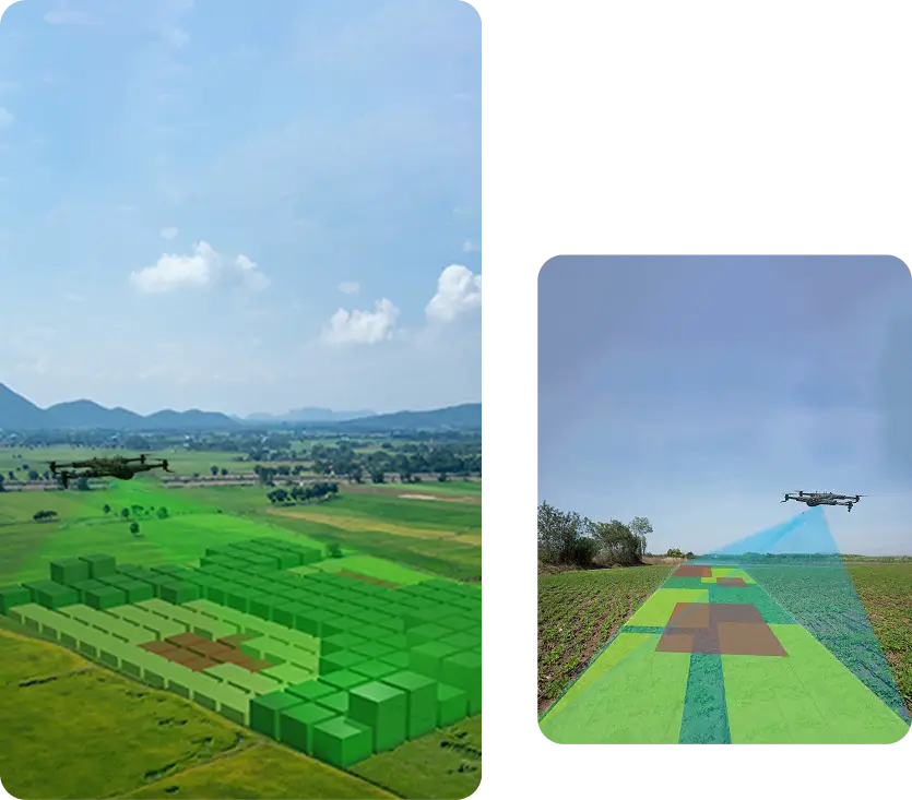
Terrain model mapping with multispectral drone sensors can capture data beyond the visible spectrum. These drones can accurately represent a three-dimensional space using the multiple sensors integrated with the drone. These terrain models are essential for precise land assessment, resource planning, and environmental monitoring in industries like agriculture.
Track and Visualize Plant Health
Drones can detect and monitor plant health with digital terrain modeling. By combining multispectral imagery with traditional RGB (VARI) overlays, drones can detect early signs of plant stress, helping to identify it before it impacts harvest output.
Analyzing Topographical Status
Understanding topographical features is critical for effective urban development. Drones with multispectral sensors can detect underground water sources and assess terrain suitability. Detailed terrain models help planners ensure sufficient resources for growing populations.
Collecting Extensive and Reliable Data
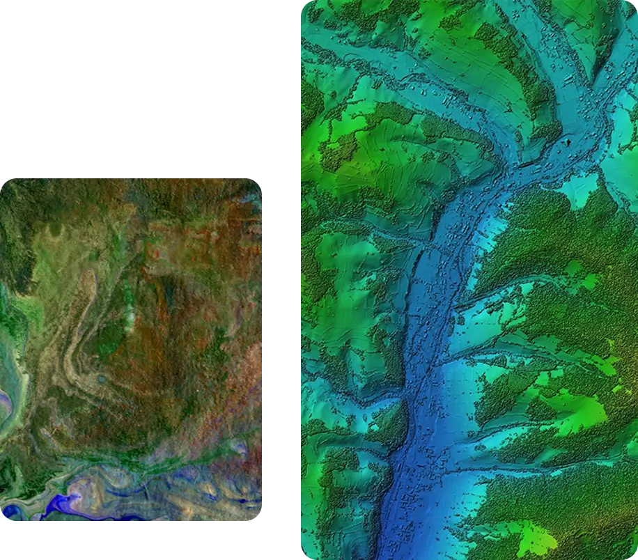
Multispectral drone technology provides precise volumetric measurements and distance data, enabling the creation of detailed 3D terrain models. These insights support complex agricultural planning and infrastructure development with reliable, high-resolution mapping. Terrain models in 3D provide interactive elements crucial for map visualizations.
Environmental Surveillance
Multispectral drones enable environmental surveillance in hazardous or remote areas. Drones capable of 3D terrain modeling monitor activities such as deforestation, survey shoreline depth, and analyze ocean depth.

Collect real-time aerial data on land, water, and vegetation for environmental monitoring and analysis.

Use drones to track environmental changes, assess ecosystem health, and support conservation efforts.
Creating Interactive Maps and Surface Maps
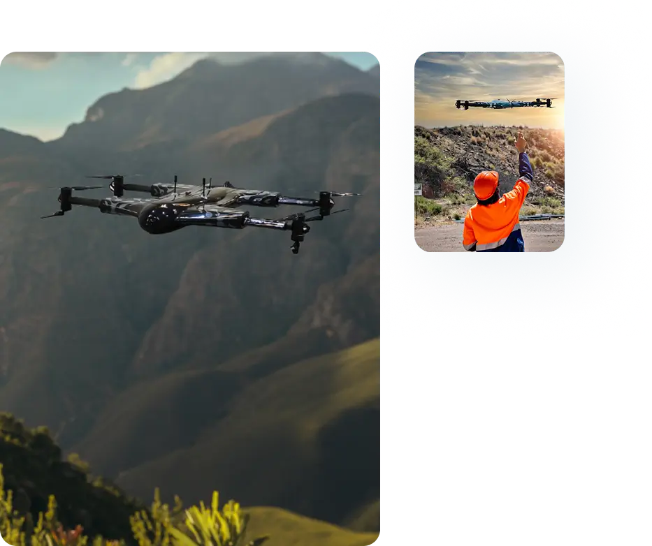
Multispectral drones also include interactive farm maps with image-based intelligence. A detailed terrain model improves decision-making in precision agriculture. These visual tools help optimize irrigation strategies by identifying water flow patterns.
Services Offered
Unlock the power of precision with our Drone-as-a-Service solutions. From raw terrain to refined insights, our drone-powered offerings accelerate every phase of your land development projects.

Concrete Scanning
Precision drone scanning to detect structural defects…
Agriculture and Farm
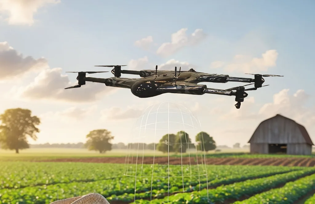
Crop health monitoring, yield estimation, and farm…
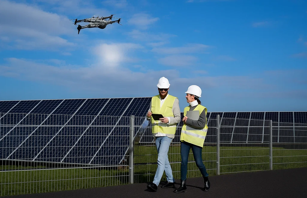
Solar Panel Drone Inspection
Efficient thermal imaging and analysis…

Construction Progress
Update
Track construction milestones with aerial…
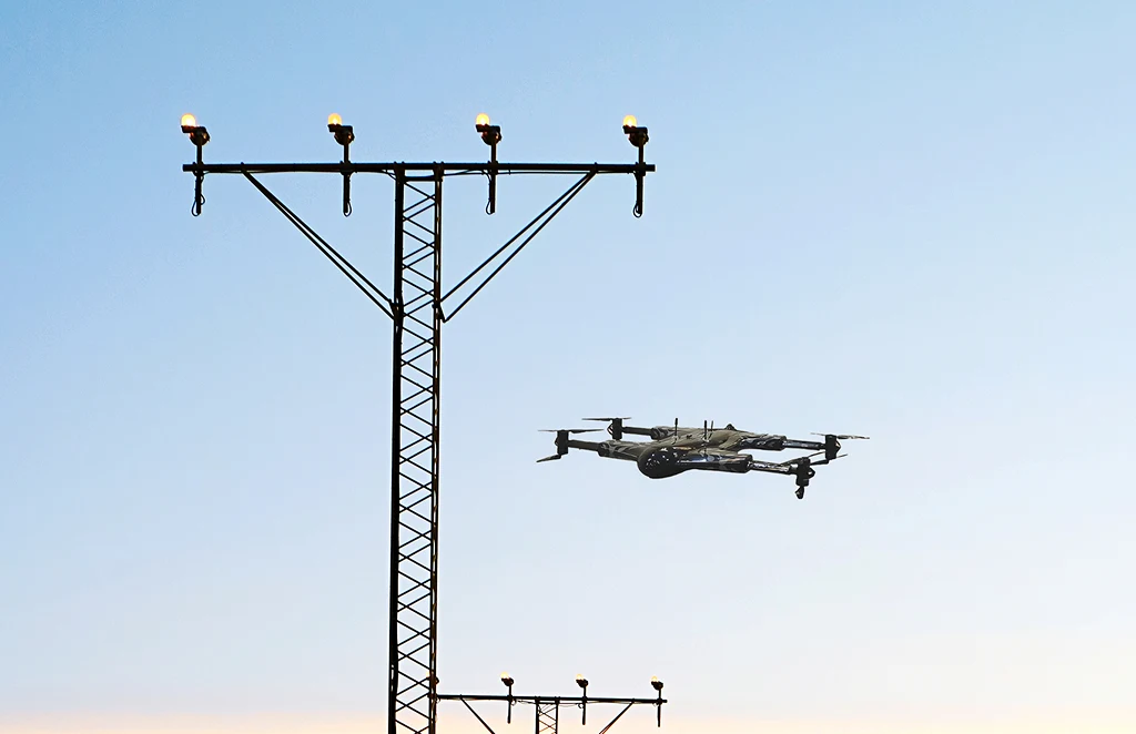
Power Line
Inspections
Safe, remote inspections of power infrastructure…
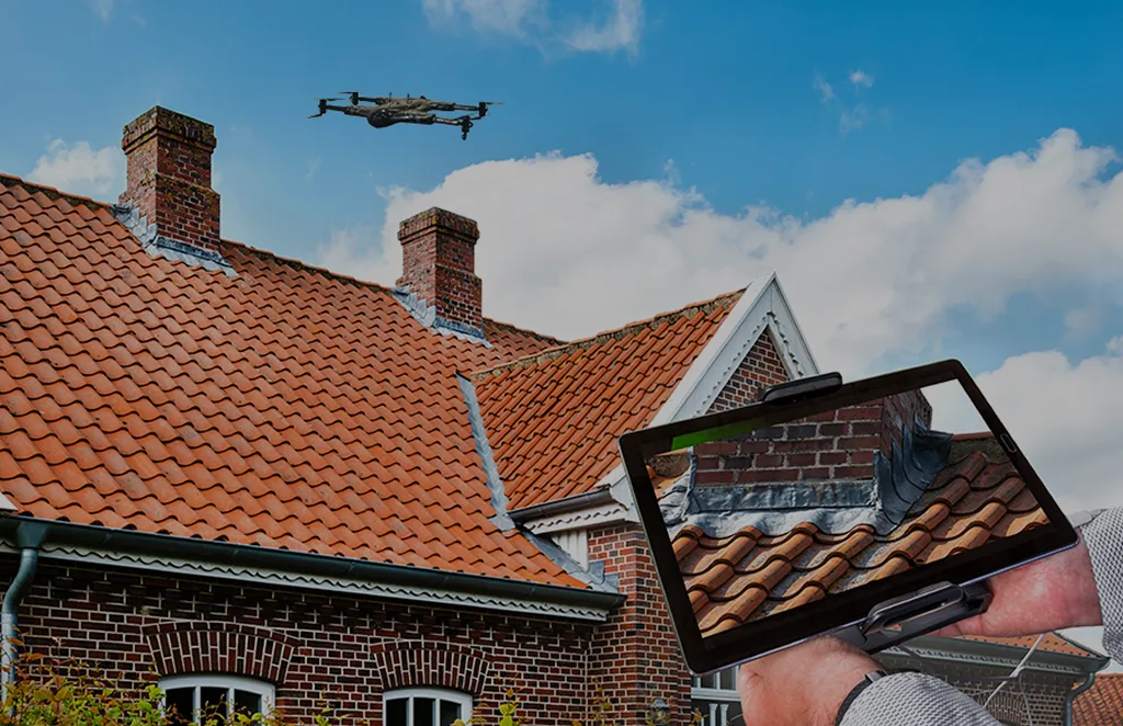
Roof Survey
Inspection
Quick and detailed inspections…
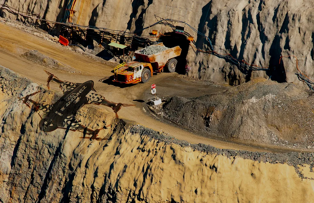
Mining, Quarries &
Aggregates
Monitor operations, measure…
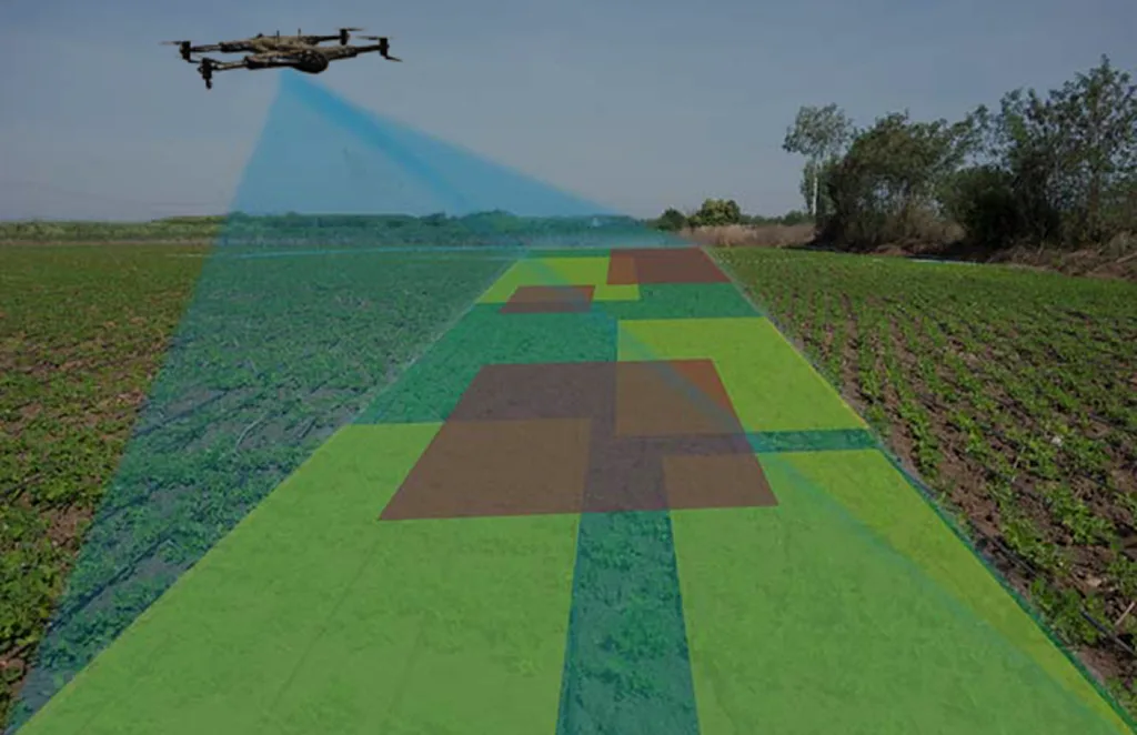
Land Survey
Efficient, high-accuracy surveys for boundary mapping and…
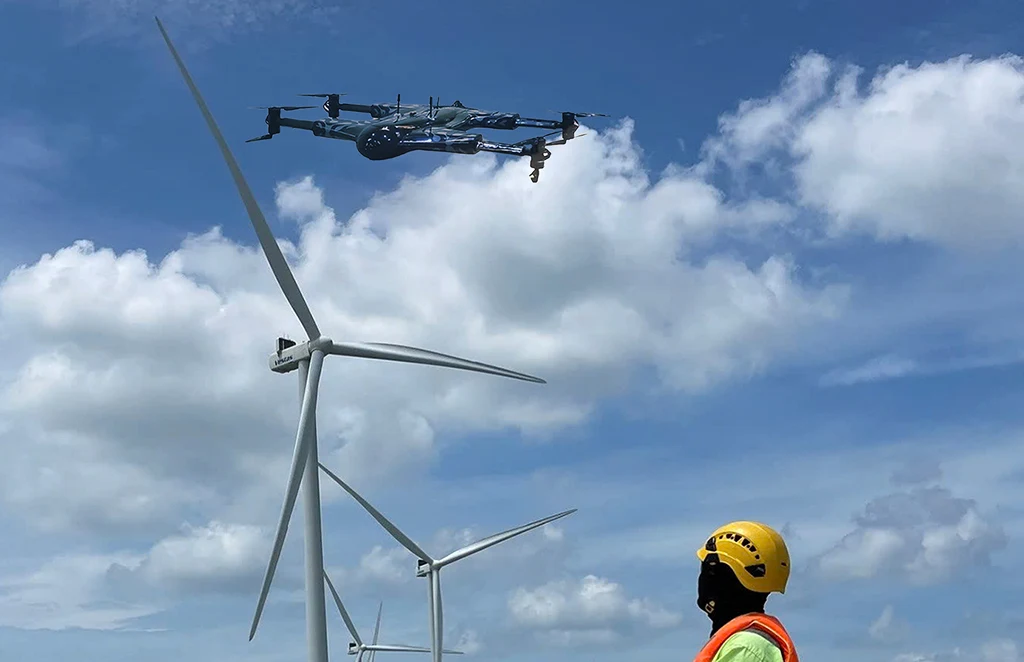
Renewable Energy Industry
Drone solutions tailored for wind farms, solar…
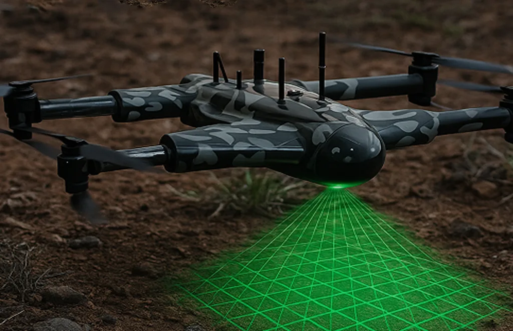
3D Scanning Services
Accurate 3D modeling of structures and landscapes for…
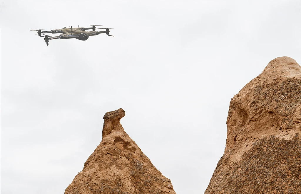
Archaeology
Non-invasive drone mapping to uncover and document…
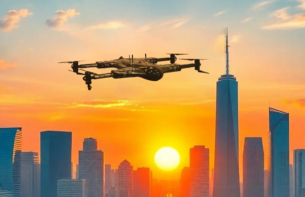
City Planning
High-resolution imagery and data to support infrastructure…

Multispectral Terrain Mapping
Multi-band imaging for vegetation analysis…
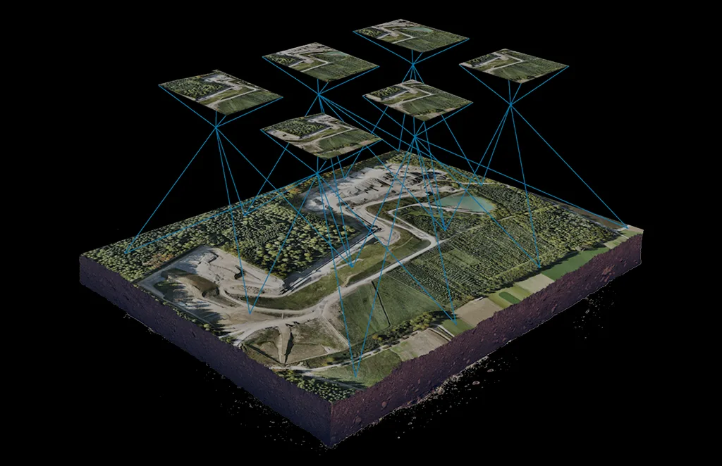
Terrain & Elevation Model
a Generate detailed terrain and elevation …
Get In Touch
Let’s elevate your operations.
Whether you’re curious about our drone solutions or ready to launch a project, our team is just a message away.


