Mining & Quarry Operations
Measure stockpiles, survey sites, and improve safety with drone technology for mining and quarry operations.

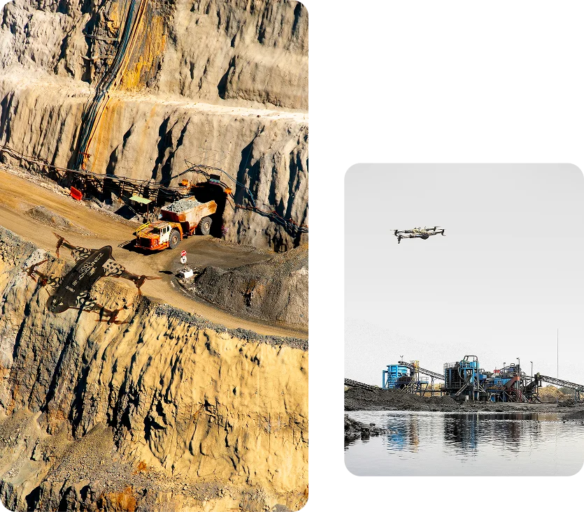
Enhance Production Without Equipment Investment
Our drone surveying services deliver immediate ROI for mining and quarry operations without the expense of purchasing specialized equipment or training technical personnel. By utilizing our drone as a service, clients can optimize extraction plans, improve safety, and achieve regulatory compliance while reducing operational costs by up to 25%. Our pay-per-survey model means you only invest when you need insights, transforming site management from guesswork to precision planning.
Stockpile Volume Measurement
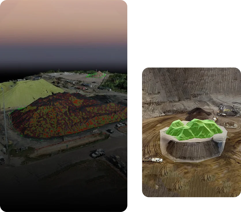
Eliminate inventory uncertainty with precise measurements. Our drones accurately calculate stockpile volumes in minutes, replacing time-consuming manual surveys and providing financial certainty for material accounting.
Pit and Face Analysis
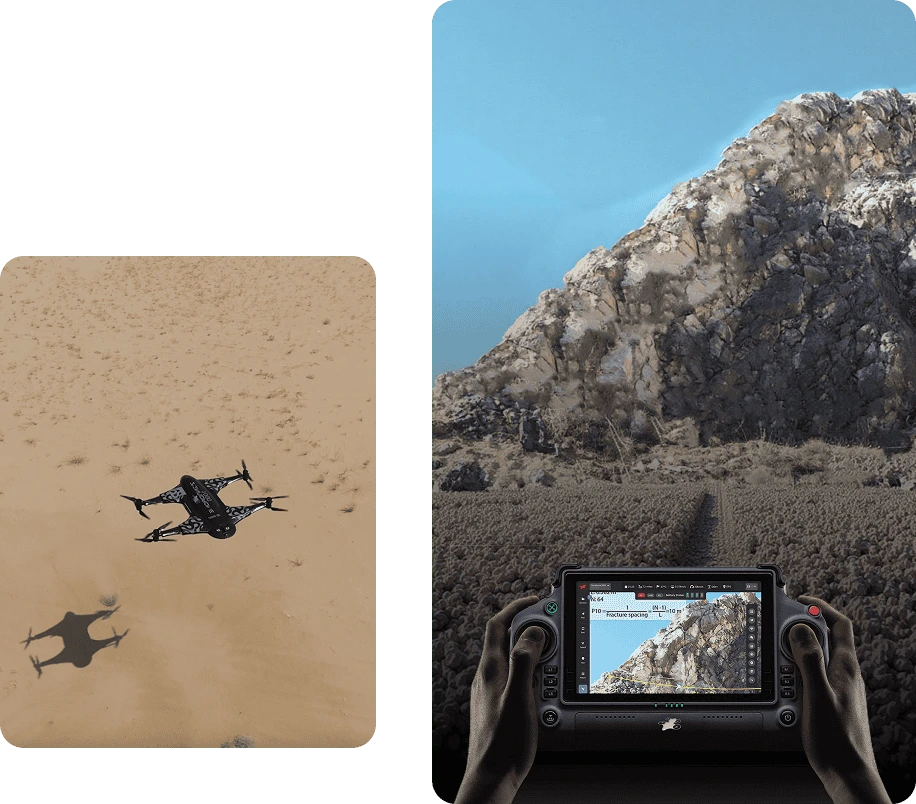
Optimize extraction planning with detailed 3D models of working faces. Clients improve blast efficiency by up to 30% through precise bench height measurement and face angle analysis. Our comprehensive service includes detailed topographic models of the entire operation, enabling efficient planning that maximizes yield while minimizing waste material.
Haul Road Optimization
Don’t let inefficient roads drain your productivity. Drone surveys reveal optimal haul road designs, identifying gradient issues and drainage problems before they impact operations. Clients receive recommendations for road improvements that reduce vehicle wear and fuel consumption by up to 15%.
Role In Progressive Rehabilitation
Track rehabilitation progress with unprecedented accuracy. Our drones document site changes over time, providing verifiable evidence of compliance with regulatory requirements. Environmental managers appreciate our ability to quantify revegetation success, slope stability, and drainage patterns—transforming compliance reporting from a burden to a showcase of responsible operations.
Comprehensive Site Documentation
Transform complex site data into clear decision support. Within 24-48 hours of capture, we deliver professional-grade models in multiple formats including volumetric calculations, contour maps, and orthomosaic imagery. Management teams receive executive summaries for strategic planning, while operations teams get detailed measurements for daily execution.
Services Offered
Unlock the power of precision with our Drone-as-a-Service solutions. From raw terrain to refined insights, our drone-powered offerings accelerate every phase of your land development projects.
Concrete Scanning
Precision drone scanning to detect structural defects…
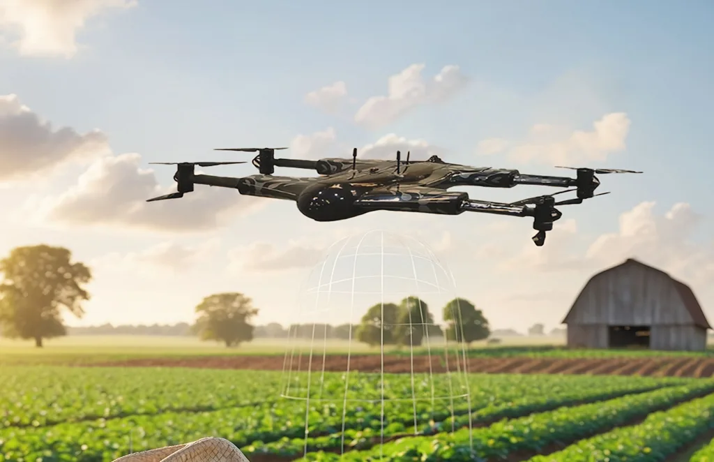
Agriculture and Farm
Crop health monitoring, yield estimation, and farm…
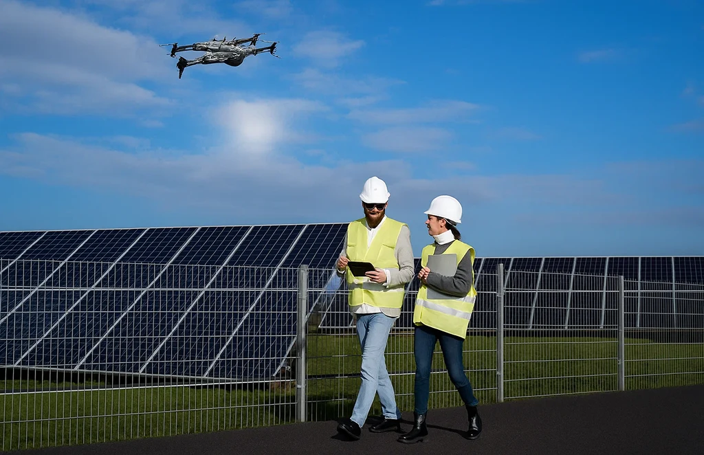
Solar Panel Drone Inspection
Efficient thermal imaging and analysis…

Construction Progress
Update
Track construction milestones with aerial…
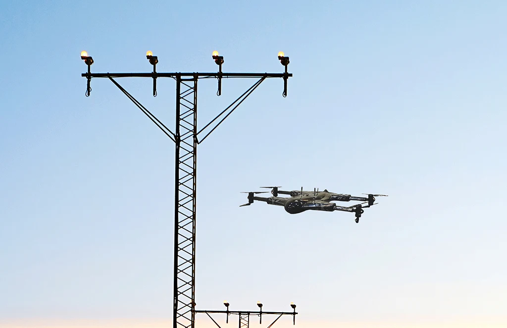
Power Line
Inspections
Safe, remote inspections of power infrastructure…
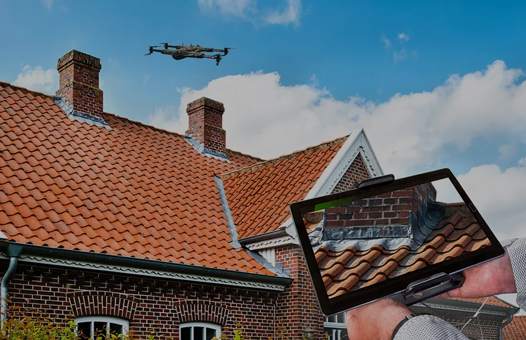
Roof Survey
Inspection
Quick and detailed inspections…
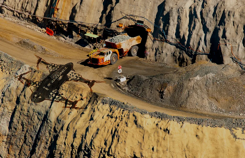
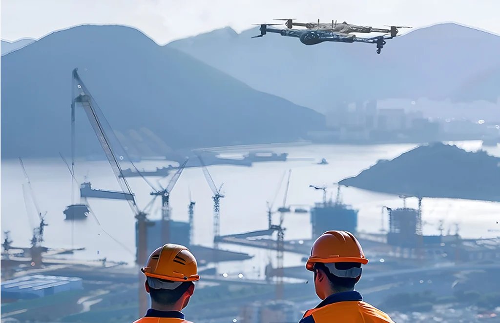
Mining, Quarries &
Aggregates
Monitor operations, measure…
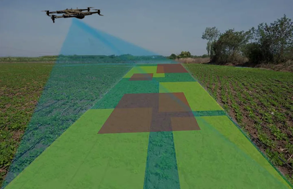
Land Survey
Efficient, high-accuracy surveys for boundary mapping and…
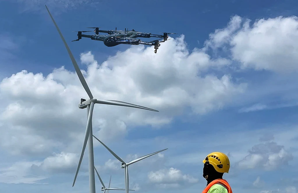
Renewable Energy Industry
Drone solutions tailored for wind farms, solar…
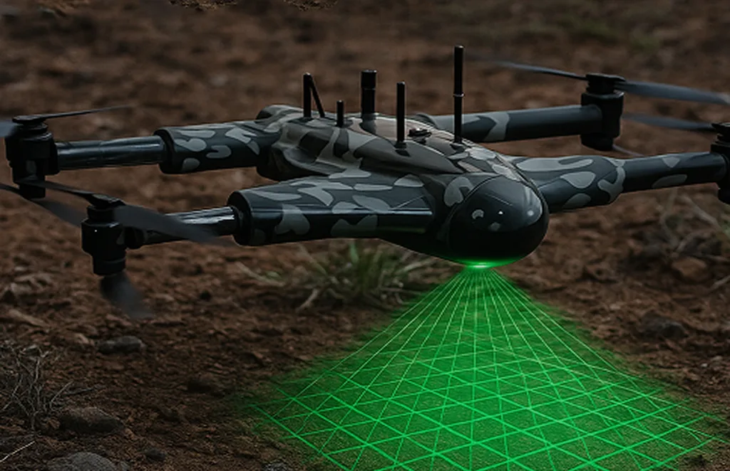
3D Scanning Services
Accurate 3D modeling of structures and landscapes for…
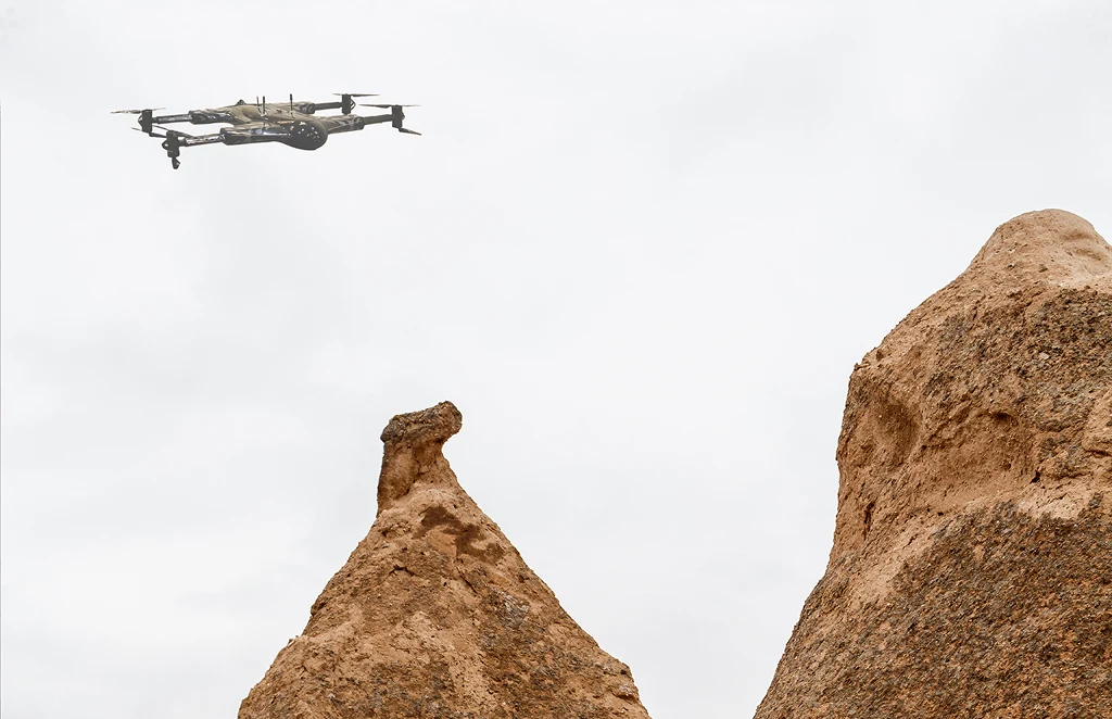
Archaeology
Non-invasive drone mapping to uncover and document…
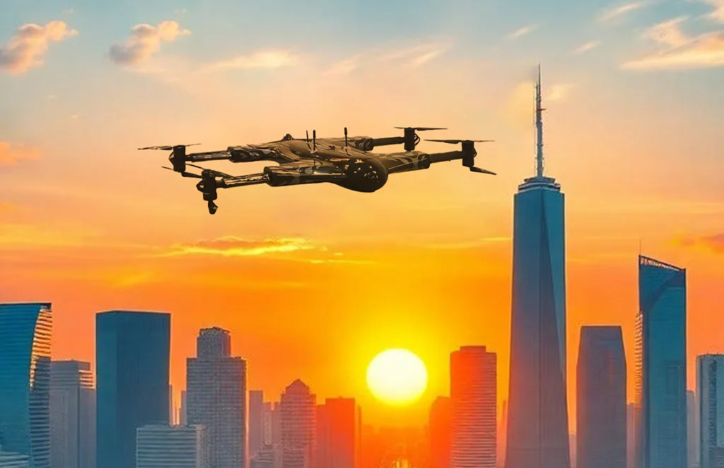
City Planning
High-resolution imagery and data to support infrastructure…

Multispectral Terrain Mapping
Multi-band imaging for vegetation analysis…
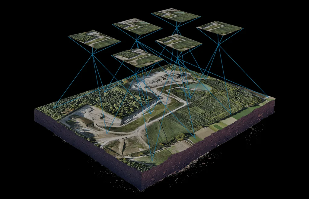
Terrain & Elevation Model
a Generate detailed terrain and elevation …
Get In Touch
Let’s elevate your operations.
Whether you’re curious about our drone solutions or ready to launch a project, our team is just a message away.
Mining & Quarry Operations
Drone as a Service: Optimize Extraction Efficiency
Enhance Production Without Equipment Investment
Our drone surveying service delivers immediate ROI for mining and quarry operations without the expense of purchasing specialized equipment or training technical personnel. By utilizing our drone as a service, clients can optimize extraction plans, improve safety, and achieve regulatory compliance while reducing operational costs by up to 25%. Our pay-per-survey model means you only invest when you need insights, transforming site management from guesswork to precision planning.
STOCKPILE VOLUME MEASUREMENT
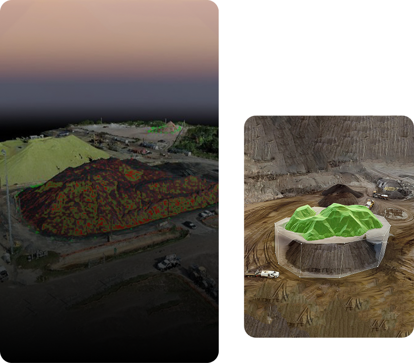
Eliminate inventory uncertainty with precise measurements. Our drones accurately calculate stockpile volumes in minutes, replacing time-consuming manual surveys and providing financial certainty for material accounting.
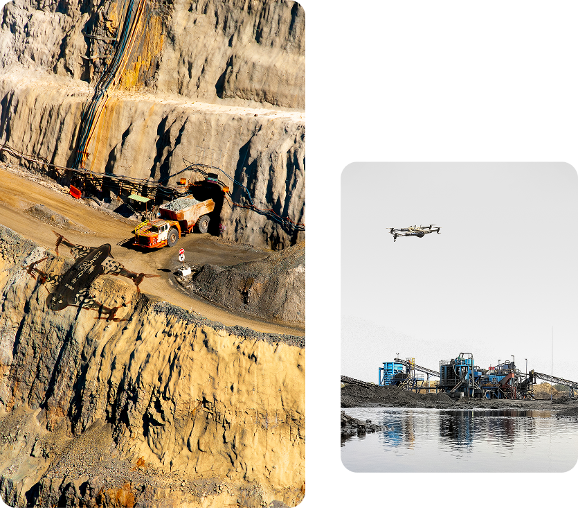


Pit and Face Analysis
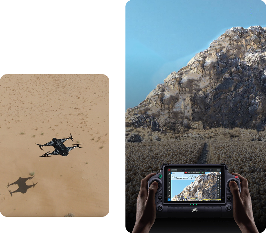
Optimize extraction planning with detailed 3D models of working faces. Clients improve blast efficiency by up to 30% through precise bench height measurement and face angle analysis. Our comprehensive service includes detailed topographic models of the entire operation, enabling efficient planning that maximizes yield while minimizing waste material.
HAUL ROAD OPTIMIZATION
Don’t let inefficient roads drain your productivity. Drone surveys reveal optimal haul road designs, identifying gradient issues and drainage problems before they impact operations. Clients receive recommendations for road improvements that reduce vehicle wear and fuel consumption by up to 15%.


Role In Progressive Rehabilitation
Track rehabilitation progress with unprecedented accuracy. Our drones document site changes over time, providing verifiable evidence of compliance with regulatory requirements. Environmental managers appreciate our ability to quantify revegetation success, slope stability, and drainage patterns—transforming compliance reporting from a burden to a showcase of responsible operations.
COMPREHENSIVE SITE DOCUMENTATION
Transform complex site data into clear decision support. Within 24-48 hours of capture, we deliver professional-grade models in multiple formats including volumetric calculations, contour maps, and orthomosaic imagery. Management teams receive executive summaries for strategic planning, while operations teams get detailed measurements for daily execution.


Contact us
Connect with our specialist today to discover how our specialized drone solution can help your operational and business challenges.


