Survey sites, streamline operations, measure stockpiles accurately, and improve safety for mining and quarry projects.
OPTIMIZE PRODUCTION WITHOUT ADDITIONAL INVESTMENT
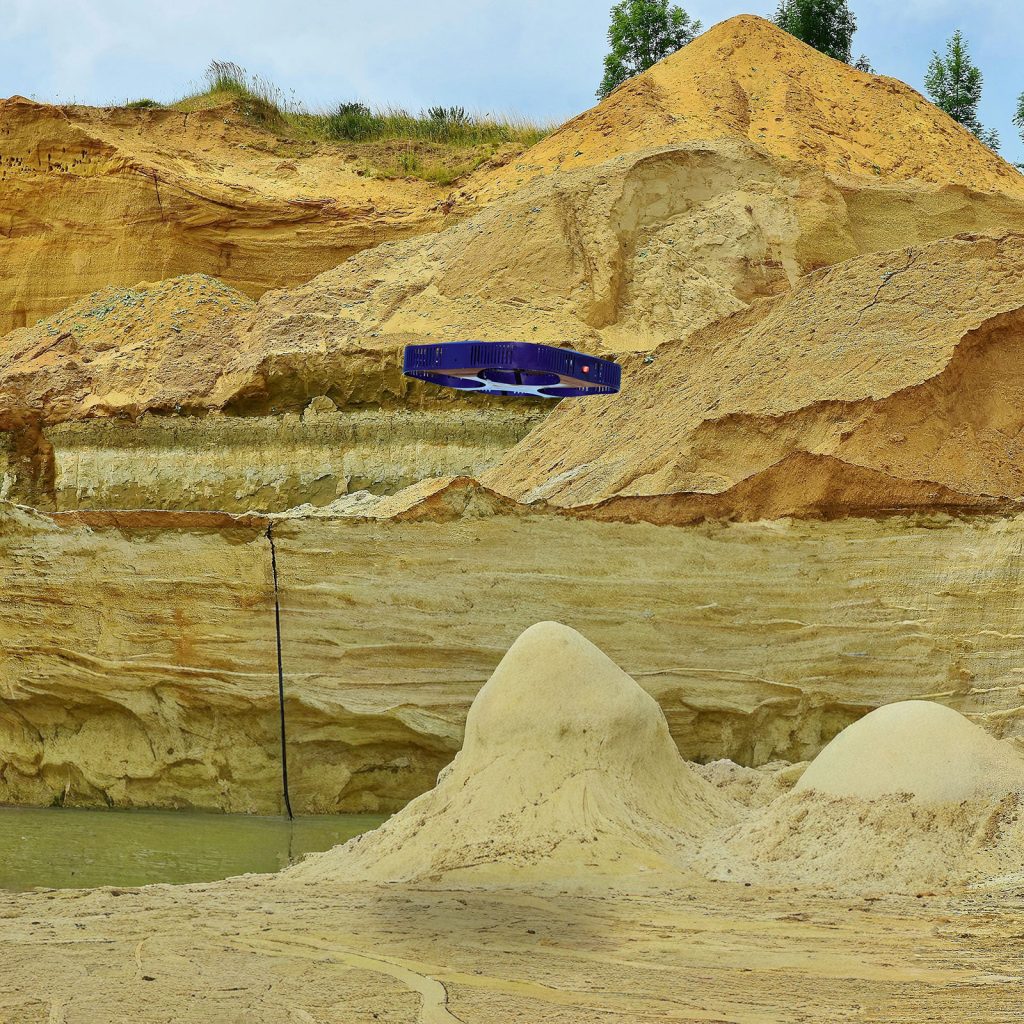
Drone technology provides a rich dataset that can optimize every aspect of mining operations. 4K cameras, LiDAR, multispectral sensors, and thermal scanners capture high-resolution video, orthomosaic images, and data for terrain and elevation maps and volumetric calculations that reduce operational costs by up to 25%.
HOW DRONES IMPROVE MINING OPERATIONS
Our AI-powered drones can be used for:
Mine monitoring
Get deep insights on haulage road design, bench height and face angle analysis, operational workflow, equipment condition, worksite security, and environmental monitoring.
Volumetric monitoring
Obtain precise measurements of stockpiles and create 3D models to analyze excavation and backfill planning.
Safely identifying hazards
Assess for hazards like crumbling rocks, gas leaks, chemical byproducts, stockpile stability, and underground environments without endangering workers.
Drilling and blasting assessments
Use 3D models to improve blast efficiency by up to 30% and provide situational awareness for blasting teams.
Mine exploration and development
Survey vast areas quickly, and safely access abandoned areas to conduct surface mapping, stability analysis, ventilation modeling, and detect hazardous gasses.
OTHER BENEFITS OF DRONE TECHNOLOGY
Drones provide mining teams with crucial situational awareness, enhancing safety across operations. Detailed drone intelligence enables mining operations to track environmental factors and provide agencies and communities with verifiable evidence of compliance with regulatory requirements—transforming reporting from a burden to a showcase of responsible operations.
THE DRONE AS A SERVICE ADVANTAGE
With Drone as a Service, you avoid the capital costs of drone ownership, and the inconvenience of obtaining regulatory approvals. All missions are flown by licensed pilots, using FAA-registered drones. Clients typically receive data-collection results within 24-48 hours, and our end-to-end data management services can help process, analyze, and store the aerial intelligence.