Construction Progress Update
Track construction projects with high-resolution aerial photos, videos, and progress reports from drone inspections.


Construction Drones for Progress Updates and Management
Modern construction involves the application of drone technology. Engineers, architects, and construction personnel can now monitor sites, document projects, update progress, and perform more efficient work operations with the help of construction drones. Experience and discover how this technological solution makes it possible.
Cost-Effective Decisions
Through advanced innovation, construction drone services can help improve and modify manual procedures and perform them cost-effectively. Drone service can ensure accurate measurements of elevations, distances, surfaces, and more, eliminating concerns about the lack of efficiency, accuracy, and potential errors. It lessens the delay and work completion as the construction team can guarantee comprehensive and reliable site research and inspection.
Integrating drone services into construction procedures reduces labor costs, minimizes delays, and improves communication between project management and the employer. It ensures project success and on-time completion.
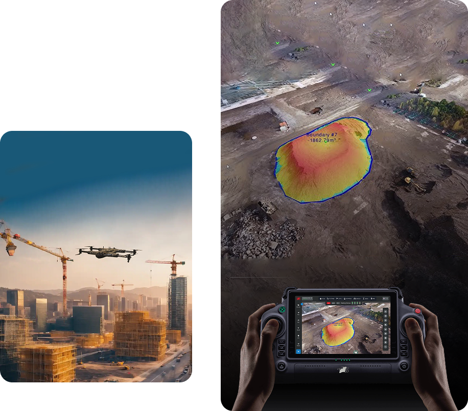

Reliable Project Updates
Using drones in the construction industry guarantees a comprehensive view of the work site. Additionally, their deployment at any time allows them to provide real-time updates. They enable supervisors and site managers to make well-informed choices and useful evaluations.
A drone in construction monitoring procedures ensures reliable updates. Its 4K quality cameras and advanced sensors can produce detailed site information, which is crucial in realizing site development and progress. Construction companies can enhance their project management through improved accuracy and streamlined operations.
Reducing On-site Risk
Using a drone for construction has allowed the industry to reduce its on-site risks. It can identify possible hazards before anything serious happens. A drone and its aerial construction progress monitoring can assess the project’s impact on transmission lines, highways, pedestrian spaces, and buildings. That way, the team can make sound decisions dealing with risk management.
With drone surveillance, construction companies can avoid overpayments, cost shortfalls, and unexpected obstacles. It can provide a comprehensive overview, showing what’s happening on the site. That way, they can prepare and address any potential financial concerns to prevent financial risks for the project.


Improved Safety Precautions
A responsible construction company prioritizes workers’ safety. A construction drone is one way for them to promote a safe work environment. It can help the team assess hard-to-reach places without risking the workers’ lives. Drones can provide aerial perspectives in real time, allowing site managers to access the project area despite its location.
Get to promote a safe work site together with Drone-as-a-Service (DaaS). Incorporate this construction drone service for regular inspections to maintain compliance with safety regulations.
Services Offered
Unlock the power of precision with our Drone-as-a-Service solutions. From raw terrain to refined insights, our drone-powered offerings accelerate every phase of your land development projects.
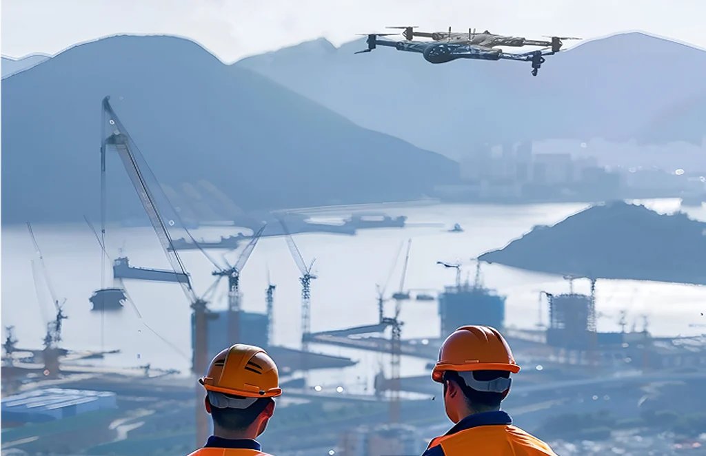
Concrete Scanning
Precision drone scanning to detect structural defects…
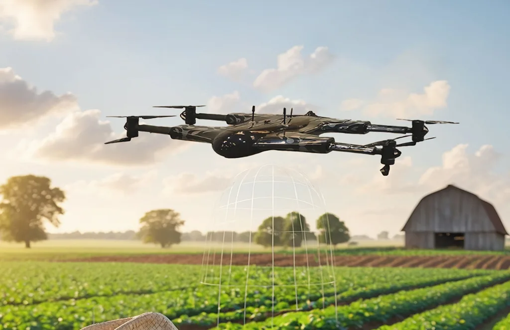
Agriculture and Farm
Crop health monitoring, yield estimation, and farm…
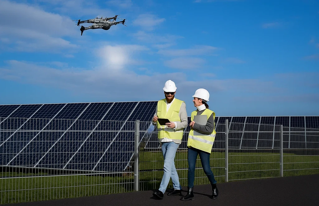
Solar Panel Drone Inspection
Efficient thermal imaging and analysis…
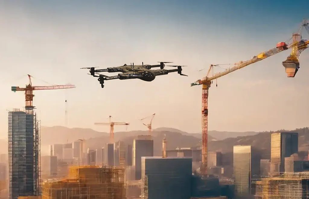
Construction Progress
Update
Track construction milestones with aerial…
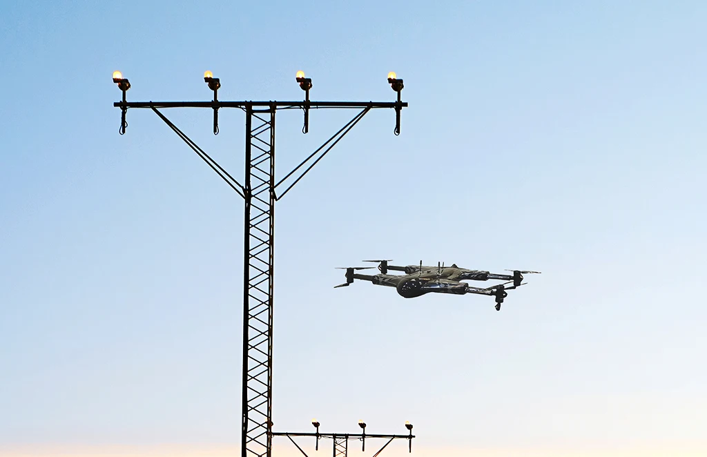
Power Line
Inspections
Safe, remote inspections of power infrastructure…
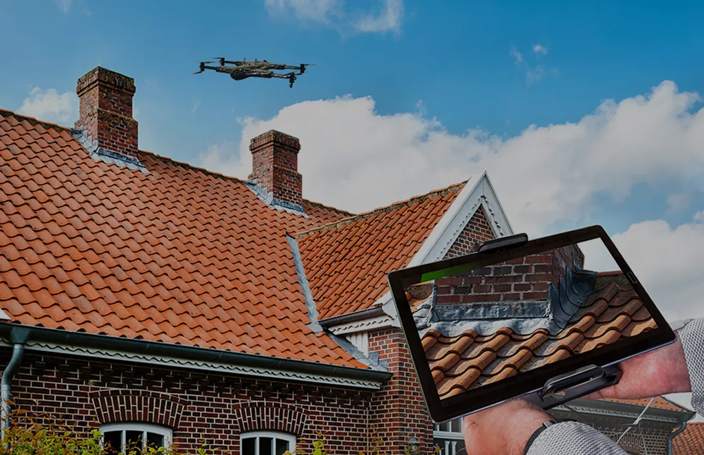
Roof Survey
Inspection
Quick and detailed inspections…
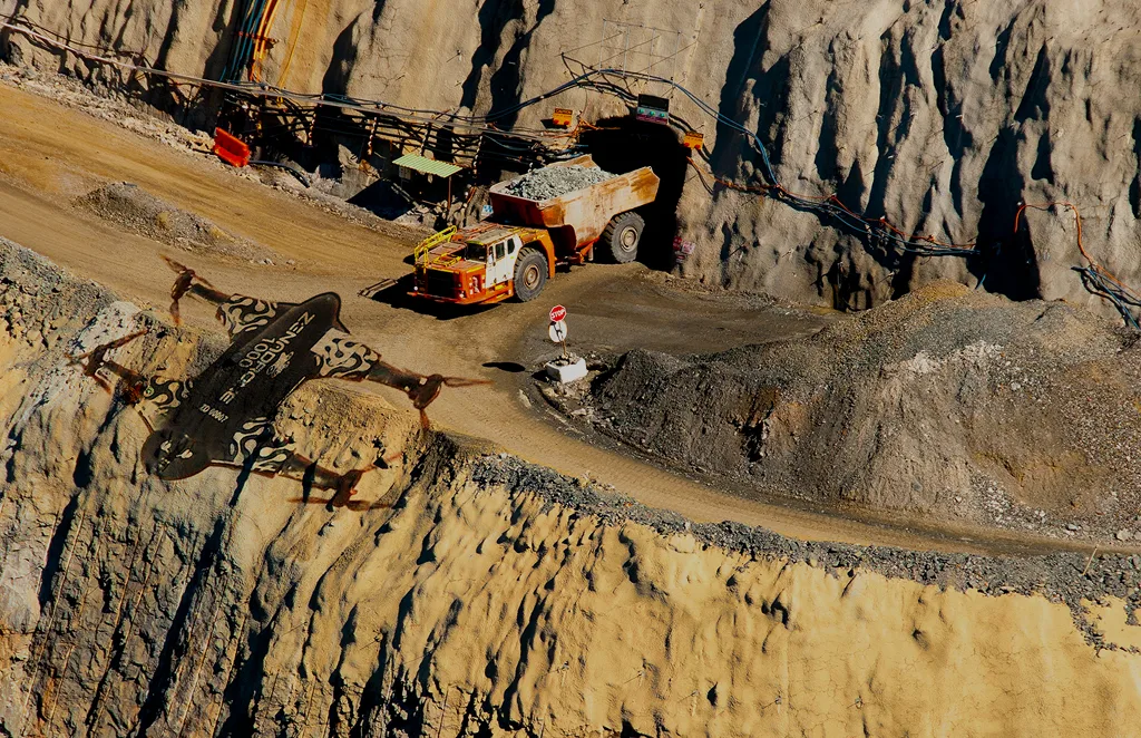
Mining, Quarries &
Aggregates
Monitor operations, measure…
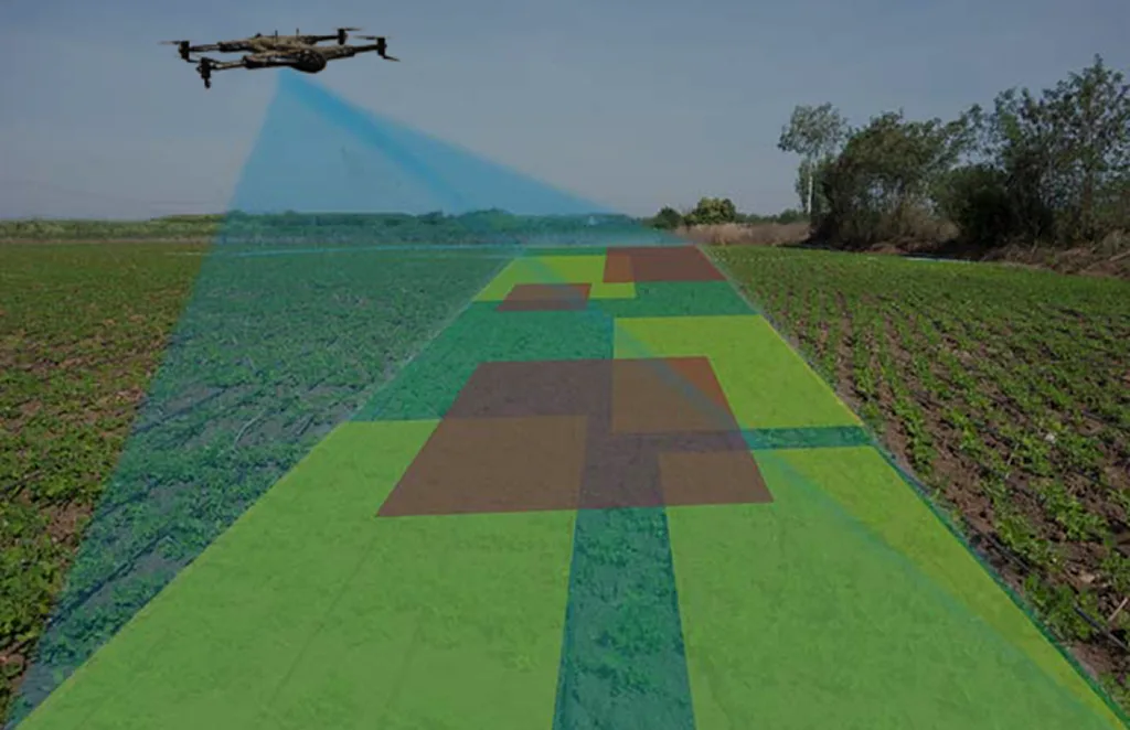
Land Survey
Efficient, high-accuracy surveys for boundary mapping and…
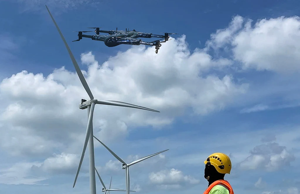
Renewable Energy Industry
Drone solutions tailored for wind farms, solar…
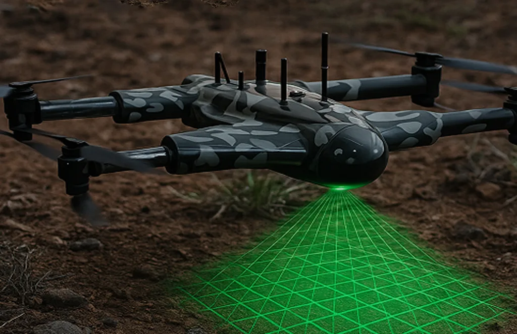
3D Scanning Services
Accurate 3D modeling of structures and landscapes for…
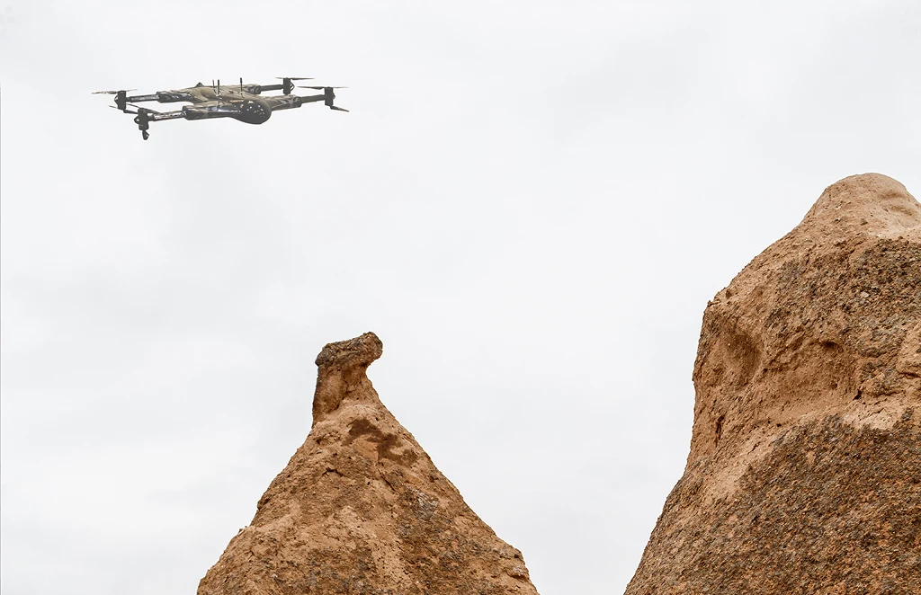
Archaeology
Non-invasive drone mapping to uncover and document…
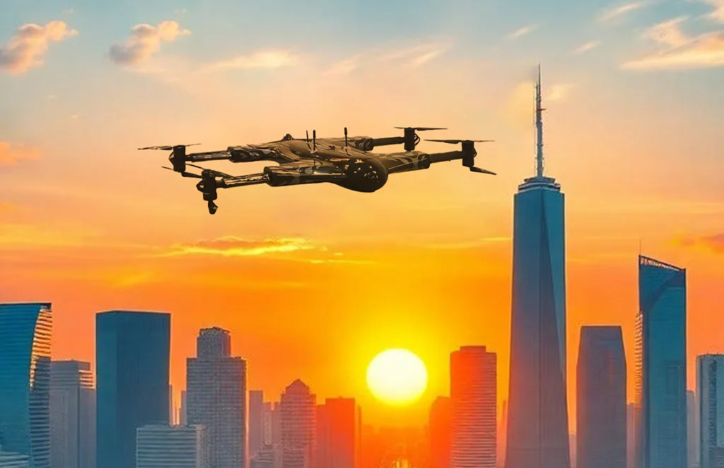
City Planning
High-resolution imagery and data to support infrastructure…

Multispectral Terrain Mapping
Multi-band imaging for vegetation analysis…
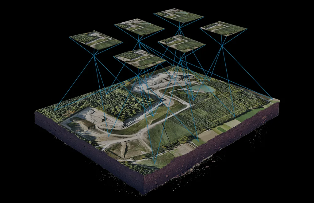
Terrain & Elevation Model
a Generate detailed terrain and elevation …
Get In Touch
Let’s elevate your operations.
Whether you’re curious about our drone solutions or ready to launch a project, our team is just a message away.


