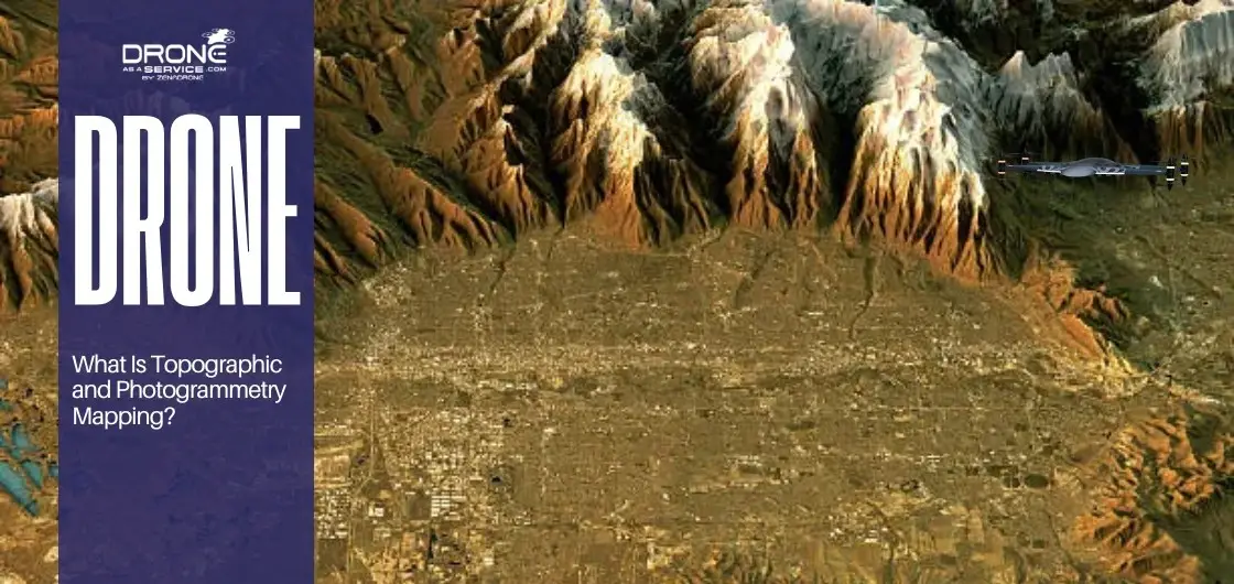
What Is Topographic and Photogrammetry Mapping?
Topographic mapping represents land elevation, terrain shape, and physical features using contour lines and elevation data.
Photogrammetry mapping uses overlapping aerial images, often captured by drones, to create accurate 2D maps and 3D models.
Drone technology enables faster, safer, and more cost-effective mapping than traditional survey methods.
Outputs can include orthomosaic maps, Digital Surface Models (DSM), Digital Terrain Models (DTM), and 3D terrain models.
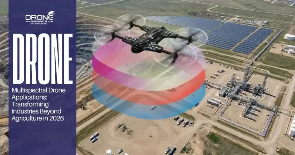
Industries such as construction, mining, infrastructure, and land development rely on these mapping methods for planning and design.
Topographic mapping illustrates land elevation, terrain shape, and physical features using contour lines and detailed elevation data for projects. Photogrammetry mapping uses overlapping aerial images, often captured by drones, to create accurate 2D maps and 3D terrain models.
Mapping technologies, such as drone-based mapping solutions, are expanding to replace slow traditional surveying and manual site measurement. As these methods advance, correct mapping enhances decision-making, project performance, and general site analysis for construction, land development, and critical infrastructure projects.
What Is Topographic Mapping?
Topographic mapping refers to a process of producing detailed, precise images of the Earth’s surface that depict both natural and artificial features. This method converts images into measurements by calculating the parallax between multiple photos taken from slightly different angles.
High-resolution aerial imagery provides raw inputs required to create elaborate digital simulations of large-scale outdoor environments. The distinction between raw images and processed 3D data requires the use of specialized software for accurate rendering. Drone-based topographic surveys offer a faster, cheaper alternative to traditional methods, delivering survey-grade accuracy for engineering and design projects by capturing high-resolution data with advanced remote sensing technology.
Key Elements of a Topographic Map
Contour lines are the primary language of these maps, connecting points of equal elevation to visualize the vertical terrain. Elevation points provide specific vertical measurements at certain locations to ensure the map remains mathematically accurate for engineering use.
A standard drone topographic survey also includes natural and man-made features like trees, rivers, buildings, and existing utility poles. Every map relies on a specific scale and coordinate systems to ensure features align perfectly with real-world geographic locations.
Common Uses of Topographic Mapping
Land development planning requires these maps to determine how to subdivide parcels and where to place essential community infrastructure. This data is used in the construction site preparation to determine the quantity of dirt to be transported to produce a level building pad.
Topographic data is used by engineers in road and infrastructure design to maintain appropriate slopes and safe driving conditions in public transportation. Also, these maps are important for assessing flood risks, as they help determine low areas likely to collect water during heavy rains.
What Is Photogrammetry Mapping?
Photogrammetry mapping is the science of making reliable measurements by using photographs to determine the exact positions of surface points. This method converts images into measurements by calculating the parallax between multiple photos taken from slightly different aerial angles.
High-resolution aerial imagery provides the raw data needed to build detailed digital twins of large-scale outdoor environments and sites. There is a significant difference between raw images and processed 3D data, which requires specialized software to render accurately.
How Drone Photogrammetry Works
The process begins with aerial image capture in which a drone is flown in a pre-programmed grid across the target survey region. There should be overlapping imagery as every photo must share visual features with the other to permit proper geometric triangulation.
Ground Control Points (GCPs) are indicated on the ground to act as physical landmarks that are used to match the digital map to the real world. Lastly, the software automates processing into orthomosaics and 3D models, which professionals use to measure and plan projects.
Types of Outputs Generated
An orthomosaic map is a geometrically adjusted photo-map, which is uniformly scaled, and thus one can make direct and precise distance measurements. These results are often CAD-compatible survey outputs that can be effortlessly imported into engineering software for instant design work.
A Digital Surface Model (DSM) records the entire land surface, including trees, buildings, and other man-made elevated structures. On the other hand, the Digital Terrain Model (DTM) excludes such objects, presenting only the bare earth surface to the grading process.
Topographic Mapping vs Photogrammetry Mapping
The main distinction is in both how data is captured and the nature of detail provided. Topographic mapping collects elevation data using vector lines and points, emphasizing landform shapes and heights. In contrast, photogrammetry gathers overlapping photographs to produce high-resolution continuous images, enabling detailed visualization of the site’s surface.
| Feature | Topographic Mapping | Photogrammetry Mapping |
|---|---|---|
| Primary Output | Contour lines and elevation points | Orthomosaics and 3D scanning |
| Data Source | Traditional surveys or drone elevation data | Overlapping aerial images |
| Visual Detail | Simplified terrain representation | High-resolution visual imagery |
| Best For | Grading, drainage, and utility planning | Site inspections and volume calculations |
These two methods complement each other: topographic mapping offers a mathematical and geometric framework, while photogrammetry supplies a detailed, image-based visual overlay. Surveying often combines both, ensuring both technical accuracy for engineering and a rich visual context for all stakeholders.
Selecting between these methods depends on project needs. For projects requiring penetration of dense vegetation, topographic methods or LiDAR may be preferable, as aerial photogrammetry can struggle to produce clear models when heavy canopy obscures ground features. For open areas, photogrammetry excels at capturing highly detailed imagery.
Benefits of Drone-Based Topographic and Photogrammetry Mapping
Drone technology enables quicker, safer, and more cost-effective mapping than conventional survey practices. UAV mapping services support rapid deployment and reduce data turnaround times compared to manual ground-based teams.
Improved Accuracy
Advanced drones deliver high-resolution data that traditional point-by-point surveying might not capture. Aerial survey-grade accuracy is now achievable, enabling precise elevation measurements that meet regulatory and engineering standards.
Faster Data Collection
Drones cover large areas in less time than ground teams, improving efficiency and reducing field labor. This allows surveying teams to move quickly between job sites.
Cost Efficiency
Aerial mapping services are cheaper to operate because they can be conducted with fewer personnel and less costly heavy equipment. A permanent digital record also implies that there are fewer site visits required in case new questions emerge about the terrain.
Enhanced Safety
One of the greatest benefits is the ability to survey hazardous or rugged terrain remotely without putting human surveyors at physical risk. Hazardous terrain inspection becomes routine when a drone can fly over cliffs, marshes, or unstable construction zones from a distance.
Industries That Use Topographic and Photogrammetry Mapping
Modern surveying technology has transformed how various sectors collect geospatial data and conduct site analysis. From construction site mapping to environmental monitoring, drone mapping integration delivers survey-grade accuracy for diverse professional needs.
Construction and Land Development
Construction remains the most prominent industry for these technologies, utilizing site inspection mapping to oversee every project phase. Topographic mapping allows for precise land development planning, ensuring that the existing terrain is suitable for the proposed design.
- Site Preparation: Managers use contour mapping to guide the initial clearing and grading of the land.
- Progress Tracking: Drones provide high-resolution aerial imagery frequently to monitor real-time building progress and contractor performance.
- Design Integration: Teams generate CAD-compatible survey outputs so that the digital blueprint will align with the physical terrain.
- Earthwork Management: Photogrammetry identifies the exact amount of soil being relocated, which improves the overall productivity of the project.
Mining and Quarrying
The mining industry relies heavily on drone-based 3D mapping to manage expansive and often dangerous operational areas. Because these sites change daily, the speed of drone photogrammetry is essential for maintaining up-to-date records.
- Volumetric Calculations: Operators use 3D models to calculate the exact volume of stockpiles and manage inventory.
- Safety Inspections: Drone-based mapping allows for hazardous terrain inspection without requiring personnel to climb unstable slopes.
- Regulatory Compliance: Data mapping aids in ensuring that the excavation boundaries remain within the allowed areas and environmental regulations.
- Operational Planning: Digital Surface Models (DSM) are used in the planning of haul roads and movement optimization of heavy machinery.
Agriculture
Topographic and photogrammetry mapping is applicable in the agricultural sector to provide detailed terrain analysis. These data-driven project planning tools assist farmers to achieve maximum potential of their land at minimal input costs.
- Drainage Analysis: This involves detailed elevation mapping in order to recognize low areas where water could accumulate and destroy crops.
- Irrigation Design: Farmers apply the contour lines to create gravity-based irrigation systems that are efficient in terms of water distribution.
- Crop Monitoring: High-resolution imagery can detect even small portions of variations in the well-being of plants that cannot be detected on the ground.
- Terracing and Erosion: Topographic survey helps in designing terraces to prevent soil runoffs in hilly regions.
Infrastructure and Utilities
Infrastructure survey data is critical for the maintenance and expansion of public works and energy networks. Mapping workflow automation allows utility companies to inspect thousands of miles of assets efficiently.
- Route Planning: Engineers use Digital Terrain Models (DTM) to find the most efficient paths for new roads or pipelines.
- Bridge and Dam Inspection: Photogrammetry is used to develop 3D detail models of structures to determine cracks or structural deficiencies.
- Power Line Surveys: Aerial mapping helps in the identification of vegetation encroachment which may cause power outage or fire.
- Flood Risk Assessment: Topographic data is used to model how infrastructure would perform during extreme weather events.
Environmental Monitoring
Remote sensing technology is an essential instrument that environmental scientists can use to monitor how natural ecosystems are changing over time. Through aerial data collection, researchers are able to measure environmental changes with precision.
- Coastal Erosion: Recurring aerial mapping helps scientists measure how much shoreline is lost to rising sea levels each year.
- Forest Management: Digital Surface Models allow for the measurement of tree canopy height and density.
- Habitat Restoration: Mapping is used to give a benchmark of restoration of areas impacted by mining, wildfires, or industry.
- Disaster Response: Following floods or landslides, drones quickly map affected areas to help prioritize rescue and repair efforts.
Accuracy and Data Considerations
The importance of flight planning cannot be overstated, as the flight path directly influences the quality of the final map. The role of GNSS and RTK drone mapping is crucial for achieving centimeter-level accuracy without always needing ground points. Data processing software converts thousands of separate photos into one single 3D model. The last steps are quality control and validation so that the data is reliable enough to proceed to official engineering and construction.
Automation of workflow has simplified producing similar output across projects and terrains. Professionals should adhere to survey compliance standards to make data legally and technically valid in court.
How to Choose the Right Mapping Method for Your Project
Project size and terrain are the first factors to consider when deciding which specific drone surveying services you will need. Larger, flatter areas might be perfect for photogrammetry, while heavily wooded areas might require different, more specialized remote sensing.
The required accuracy level will dictate whether you need RTK-enabled drones or a dense network of ground control points(GCPs). You must also balance the timeline and budget to find a solution that provides enough data without overspending resources.
Finally, consider any regulatory considerations or local laws that might restrict drone flight or require specific licenses for land surveying services. Data-driven project planning ensures that you choose the most efficient tool for the specific challenges of your unique job site.
Conclusion
Modern projects rely on drone mapping because it provides a level of detail and speed that was previously impossible to achieve. Remote sensing technology has fundamentally changed how we view and interact with the physical world for development and preservation.
The future of drone mapping technologies involves even more automation and real-time data processing for immediate on-site decision-making. GIS integration allows this mapping data to live in a larger ecosystem of information for long-term city and regional planning.
Partnering with skilled mapping experts is important for getting correct and useful data. Site inspection mapping and 3D mapping with drones will remain foundational in the modern built environment.