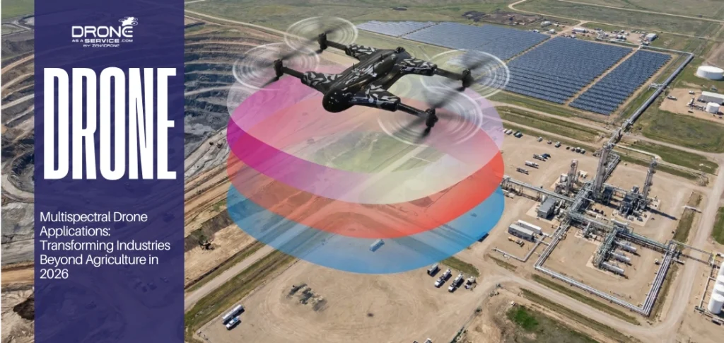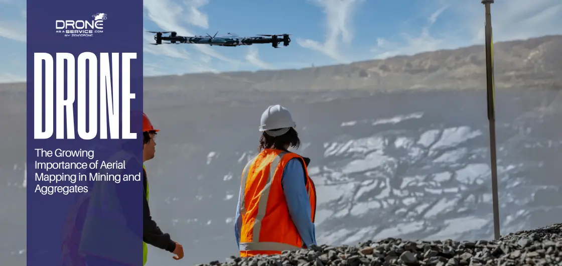
The Growing Importance of Aerial Mapping in Mining and Aggregates
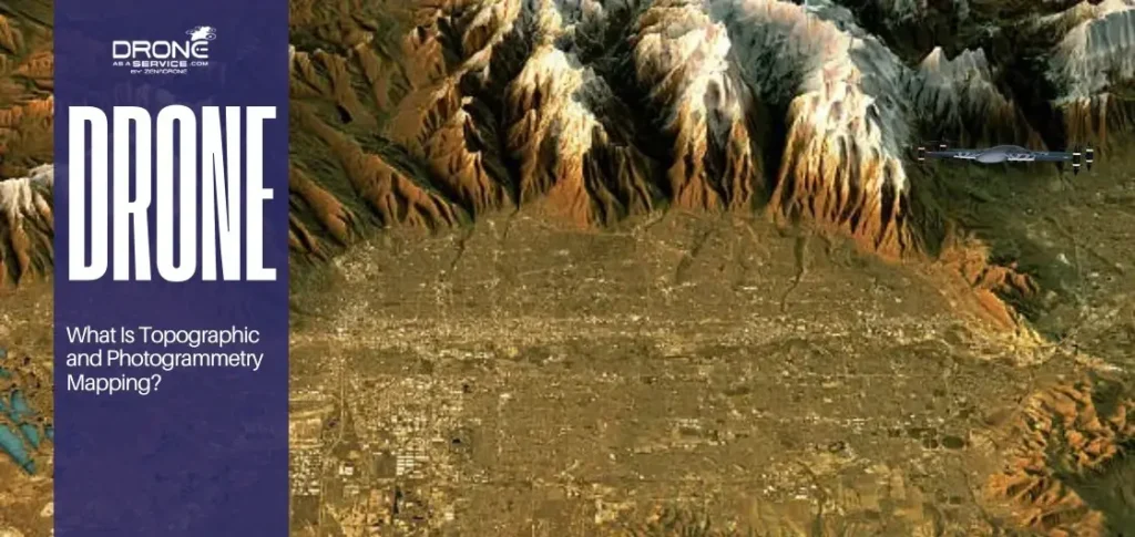
Topographic mapping is the process of creating a digital elevation model (DEM) for efficient mining site topography. The digital transformation in mining will no longer focus on the traditional ways but shift to drone mapping technology to have quicker and safer site results. This shift also applies to aggregate operations such as quarries, where accurate site data is essential for production and inventory management.
Traditional methods of surveying and land mapping are unable to keep up with the high speed of modern aerial mapping of large mining areas. The increasing industry requirement for accuracy and safety has led to the application of photogrammetry mapping in multiple mining aerial surveys globally.
Remote sensing in mining supports high-level mine planning with aerial data by providing a precise and detailed contour map. These geospatial mapping services utilize advanced terrain modeling to improve mining operational efficiency through highly accurate and actionable data sets.
Using photographic mapping allows operators to integrate precision mining mapping into their daily workflows for better overall resource management. Drone surveying for mining is becoming the gold standard for achieving surveying and geospatial technology goals in modern industrial environments.
What Is Aerial Mapping in Mining?
Aerial mapping in mining is the collection of topographic data using overhead sensors to create a high-resolution contour map. The mining sector has experienced a high rate of transformation between manual ground-based systems and effective UAV-mining site mapping. High-level remote sensing mining enhances the process of data collection by covering thousands to millions of points on a single flight. Combining these tools with surveying and geospatial technology can be used to produce an accurate digital elevation model (DEM).
Drone surveying for mining collects vital data types, including stock volumes, high-resolution orthomosaic maps, and detailed site terrain modeling. These topographic survey methods provide engineers with a reliable contour map used for managing earthworks volume calculation and planning.
The shift toward photogrammetry mapping ensures that every mining site drone mapping project delivers actionable and highly accurate insights. Applying photographic mapping produces a visual record that supplements precision mining mapping and the long-term digital terrain models mining.
The Role of Mining Aerial Surveys in Modern Operations
Mining aerial surveys are carried out by specialized aircraft to collect accurate spatial data to manage and plan large-scale industrial sites. The modern process improves the understanding of the topography of a mining site by providing a broader perspective that cannot be achieved by traditional ground methods. These surveys capture high-resolution imagery used to analyze mining site topography in detail.
Developing a detailed 3D mapping of the mining areas enables the engineers to see the whole picture of the landscape accurately in terms of safety. These surveys produce a high-quality digital elevation model (DEM) to support a high standard of regulatory and environmental compliance.
Land surveying and mapping through drones produces a digital terrain model mining output that is significantly more detailed. This transition to an aerial mining survey provides a faster turnaround time for critical resource management using UAVs.
Photogrammetry mapping reduces the need for surveyors to traverse hazardous terrain while gathering critical site-wide geographic data. The integration of drone mapping technology ensures that mining operational efficiency remains high during all phases of the project.
Drone Surveying for Mining: Accuracy, Speed, and Safety
Drone surveying for mining entails collecting high-resolution images from multiple angles of the site to generate a precise three-dimensional site model. This advanced process utilizes drone photogrammetry to generate a contour map that can achieve comparable accuracy to traditional ground methods when properly controlled.
The role of geological surveying drones is critical for supporting the identification of mineral deposits and planning new excavation routes for teams. Using specialized mining site inspection drones allows for the remote monitoring of high-wall stability and overall worker safety today. Implementing drone mapping technology significantly boosts mining operational efficiency by reducing the time spent on manual data collection. These topographic survey methods ensure that every mining site drone mapping project remains both highly cost-effective and extremely accurate.
Mining Site Drone Mapping and 3D Mapping of Mining Sites
The process of mining site drone mapping involves a strict workflow beginning with pre-flight planning and concluding with high-quality data processing results. This methodical procedure marks down the raw data required to construct an accurate digital elevation model (DEM) to be utilized in a site-wide analysis.
Implementing 3D mapping of mining sites will require converting aerial photography into a complete interactive 3D model. These topographic survey techniques enable engineers to see the overall picture of the landscape and, at the same time, perform precise earthworks volume calculation.
Precision mining mapping enhances the process of planning the extraction through identifying the most effective paths of haulage and excavating heavy earth materials. The seamless integration of these files into existing mine planning software ensures that mining data analytics remain current and useful.
Real-time decision-making advantages emerge when managers can view a current orthomosaic map update within hours of the flight. Using photographic mapping provides a visual baseline that keeps every department aligned on the current status of the site.
Aggregates Mapping and Quarry Drone Surveys
Aggregates mapping uses aerial data to monitor the production, storage, and movement of materials such as sand, gravel, and crushed stone. Quarry drone surveys help site managers track stockpiles with high precision and faster turnaround times.
Using drone data in aggregate production helps facilities optimize their loading cycles and reduce wasted movement across the yard. This technology enhances inventory management by offering an accurate earthworks volume calculation of every single pile of material at the site.
High-resolution orthomosaic maps support reporting accuracy for financial and operational requirements within the mining company. Remote sensing applications allow easy monitoring of site boundaries and runoff, which helps compliance and environmental monitoring.
Land surveying and mapping through drones provides a clear visual record of the quarry’s impact on the surrounding land. These topographic survey methods support long-term sustainability by documenting the restoration of the land during the final mining phases.
UAV Mapping in Mining and Resource Management Using UAVs
UAV mapping in mining provides a significant advantage by allowing for the collection of high-frequency and very consistent site datasets. These repeatable flights ensure that every digital elevation model (DEM) reflects the most current physical state of the active mine.
Effective resource management using UAVs allows operators to optimize extraction patterns and reduce fuel consumption for heavy hauling equipment. By analyzing these precise models, managers can implement precision mining mapping to support targeting specific high-value mineral zones more effectively today.
Utilizing mining data analytics enables teams to track performance metrics and compare actual production against the original site-wide plan. This data-driven approach supports long-term planning and sustainability improvements by minimizing the overall environmental footprint of the entire operation.
Integrating surveying and geospatial technology into the daily workflow supports more accurate and efficient resource allocation. Modern topographic survey methods continue to redefine how companies manage their assets while maintaining a very safe working environment.
Earthworks Volume Calculation and Mine Planning with Aerial Data
Accurate earthworks volume calculation is essential for determining the remaining capacity of active pits and the size of waste dumps.
Precise measurement of overburden removal and large stockpiles ensures that all digital elevation models (DEM) are technically precise. Incorporating aerial data into mine planning allows for better forecasting by visualizing how the terrain changes at each stage of production.
Reducing financial losses is possible through precise measurements that reduce the costly errors often found in traditional photographic mapping methods.
The comparison below shows the differences between traditional surveying and drone-based mapping:
| Metric | Traditional Surveying | Drone Mapping Technology |
|---|---|---|
| Data Collection Time | Several Days or Weeks | Single Day Flight |
| Measurement Accuracy | Sparse Point Sampling | Millions of Data Points |
| Site Safety Risk | High (Foot Surveys) | Low (Remote Sensing) |
| Volume Calculation | Estimated Approximations | Precise Terrain Modeling |
Integrating topographic survey methods with modern software allows for a more responsive and profitable approach to large-scale excavation. By using precision mining mapping, companies can track their inventory with a level of detail never before seen today.
Remote Sensing in Mining and the Future of Surveying and Geospatial Technology
Remote sensing in mining represents the future of data acquisition by combining advanced sensors with high-speed automated processing capabilities. Integrating LiDAR topographic survey data with photogrammetry mapping delivers a complete and detailed view of the entire site landscape. Such advancements underscore the increasing importance of advanced surveying and geospatial technology in modern mining operations.
Combining LiDAR, Photogrammetry, and AI
LiDAR, when combined with photogrammetry, and Artifical Inteligence (AI) enables sorting out obstructions and terrain features of the site. These technologies work together to make a very precise digital elevation model (DEM) that becomes better and better as more aerial data is obtained.
The Future of Remote Sensing in Mining
The future of remote sensing in mining involves autonomous drones that conduct a mining site drone mapping mission frequently. These systems will provide constant updates to the digital terrain models mining to ensure that safety margins are maintained.
Automation and Real-Time Site Monitoring
Automation through surveying and geospatial technology allows for real-time site monitoring of all active excavation and hauling activities today. Operators can use drone mapping technology to identify potential hazards before they become a risk to the ground crew.
Innovation Reshaping Mining Efficiency
Innovation in geospatial mapping services will continue to reshape mining operational efficiency by streamlining the entire data-to-decision workflow. Using precision mining mapping ensures that every resource is utilized effectively while minimizing the environmental impact of the operation.
Conclusion
Topographic mapping remains the fundamental baseline for achieving safety, accuracy, and speed in modern industrial site operations. Adopting drone surveying for mining provides a significant competitive advantage by delivering high-quality orthomosaic maps in record-breaking time. This advantage extends to both mining and aggregates operations, where efficiency and accuracy are critical.
Companies can achieve a strong return on investment through improved mining operational efficiency and reduced manual field labor costs. Integrating land surveying and mapping with precision mining mapping ensures long-term profitability for the entire extraction and hauling project. These benefits support more consistent planning, better resource allocation, and long-term operational stability.
Digital transformation is no longer optional for firms wanting to maintain high standards in resource management using UAVs. By employing modern aerial mapping solutions, operators can access advanced topographic survey methods without high upfront costs.
FAQs
How do mining aerial surveys improve operational efficiency?
What is drone surveying for mining used for?
How does drone photogrammetry work in mining?
How accurate is mining site drone mapping?
How does 3D mapping of mining sites support mine planning?