


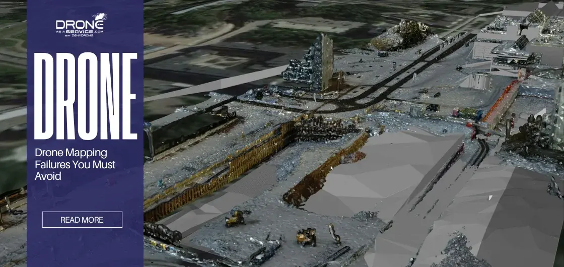

Drone Mapping Failures You Must Avoid for Accurate and Reliable Results
Drone Mapping Failures You Must Avoid for Accurate and Reliable Results Drone mapping is changing the world. It aids surveying,...
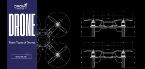
Types of Drones and UAVs
Types of Drones and UAVs With drones changing the world in which we live, it is critical to learn about...
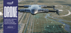
Aerial Data Collection: How Drones Are Transforming Data Capture and Analysis
Aerial Data Collection: How Drones Are Transforming Data Capture and Analysis Introduction: When Data Needs a Higher Perspective When data...
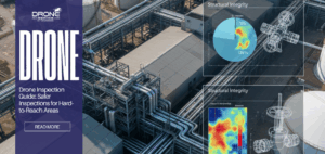
Drone Inspection Guide: Safer Inspections for Hard-to-Reach Areas
Drone Inspection Guide: Safer Inspections for Hard-to-Reach Areas Introduction Drone inspection has transformed how industries inspect assets that are difficult,...
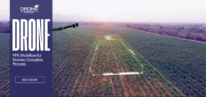
PPK Workflow for Drones: Complete Process & Accuracy
PPK Workflow for Drones: Complete Process & Accuracy Drone operators aren’t the only ones concerned with accuracy for any project....

Altitude Hold Technology in Drones: Stability, Control, and Flight
Altitude Hold Technology in Drones: Stability & Control Before technological developments, drones were viewed as niche gadgets. Today, it is...