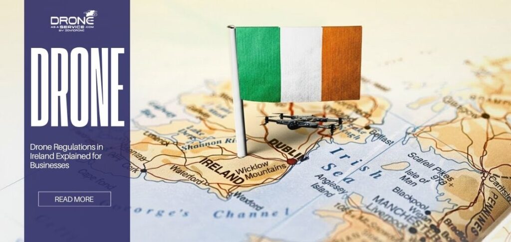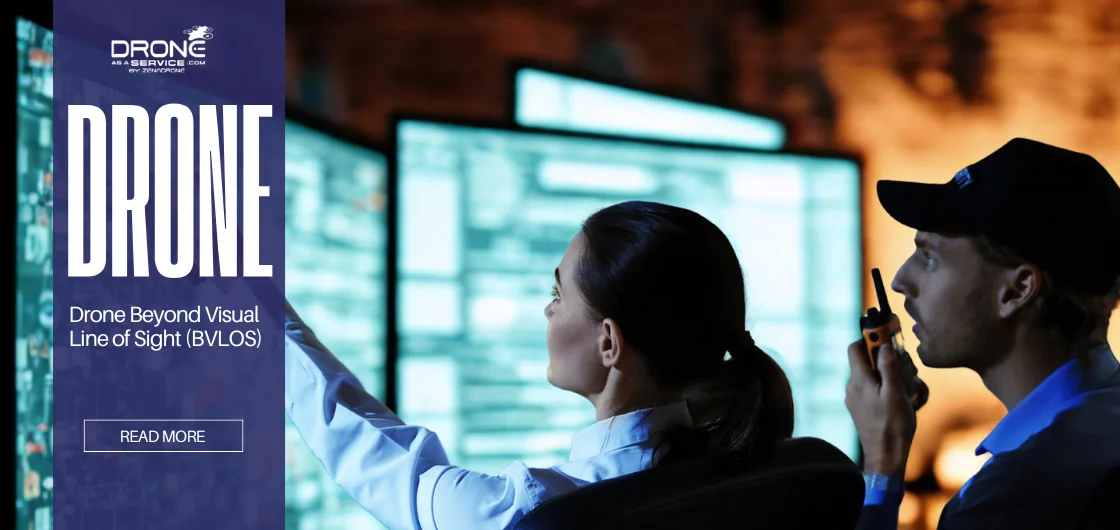
Drone Beyond Visual Line of Sight (BVLOS)
Remember the last time you flew a drone? You probably had to keep an eye on it the whole time. Now, picture a drone flying miles away, over hills and pipelines, where you can’t see it, and doing its job on its own. This isn’t just a little science or something. BVLOS drone operations are already underway, transforming how businesses operate and shaping the future of aerial data.
BVLOS makes drones remarkably more useful for business by transforming common drones into essential tools in modern times.
This guide will tell you what BVLOS drone operations are, how they work, where they are used, and what you need to do to fly them legally and safely.
What is BVLOS in Drone Operations?
BVLOS is an acronym for “Beyond Visual Line of Sight”. It involves operating a drone that is not visible to the naked eye. This is a notable difference from the usual flying experience.
Here is a short explanation of some key terms:
- VLOS (Visual Line of Sight): This is the simplest type of flight for hobbyists. You must always be able to see the drone with your own eyes, even if you need glasses. It is like flying a kite—you need to know what you are doing.
- EVLOS (Extended Visual Line of Sight): This method uses a team. Trained observers are placed between you and the drone, allowing it to fly farther, but someone always keeps it in sight.
- BVLOS (Beyond Visual Line of Sight): The drone is flown in an area where it cannot be seen. Advanced systems, including robust radio links and obstacle detection, are crucial for ensuring safe operation.
This is quite significant to companies. It transforms drones into remotely controlled, long-range, data-gathering cameras.
How Drone BVLOS Operations Work
In its simplest form, beyond visual line of sight (BVLOS) drone operations replace direct visual contact by the pilot with complex streams of digital information.
Instead of physically piloting an aircraft, operators manage the drone through a digital dashboard that delivers real-time critical data, such as altitude, battery status, and obstacle detection.
The workflow consists of the following components:
- Communication is Essential: Maintaining a continuous connection between the operator and the drone is critical. We utilize powerful radio frequencies, satellite connections, and 4G/5G networks to enable the drone to be managed and transmit data over any distance.
- Superhuman Senses: The drone is equipped with numerous sensors that enable it to see and hear. Drone LiDAR scanning measures and maps the area around it in three dimensions with high accuracy. ADS-B finds more aircraft. Advanced computer vision systems further support environmental perception and understanding.
- The Brain: Detect-and-Avoid (DAA) systems are essential safety measures. The drones are able to detect and navigate around objects, including birds, other drones, and towers, autonomously. This makes flying BVLOS safe and reliable.
- End-to-End Workflow: This single piece of software handles everything, from planning and regulatory control before the flight to real-time flight control and post-flight processing of results.
To learn about the actual flight range of these drones, check out our guide on drone range and limitations.
Regulations and Legal Requirements for BVLOS
Let’s talk about the rulebook. This is where most people get stuck. BVLOS regulations are complex for a good reason, which is safety.
In the USA, FAA BVLOS rules are very strict. To fly routine BVLOS flights, you need a special Part 107 waiver because the default rule is that you must see the drone. Obtaining this waiver requires demonstrating that your operation is as safe as, or even safer than, a manned aeroplane. You must show you have strong technology, solid procedures, and well-trained pilots.
Other countries are adopting similar rules, like EASA in Europe, while some are quickly moving to standard BVLOS approvals. The main point is that you can’t just fly a BVLOS mission whenever you want. It must be planned, use tested technology, and be authorized.
The information on drone insurance is also quite essential here, as liability regulations tend to shift frequently.
End-to-End Inspection Capabilities with BVLOS
This is where the rubber meets the road, or more accurately, where the drone leaves the road. BVLOS applications for inspection work are a groundbreaking development.
A power line or pipeline that is 100 miles long or farther away. It takes a long time, costs a lot of money, and can be dangerous to send a crew. Now, picture a BVLOS drone flying that whole route on its own, taking high-resolution pictures and data in one flight.
It’s clear what the benefits are:
- No more “helicopter inspection day.” Drones can continuously monitor important assets.
- Massive Savings: It adds up to a lot of money saved. A single BVLOS drone mission can do the work of several human-crewed helicopter flights, saving up to 50–70% on inspection costs and getting more detailed data.
- Unprecedented Data: You get a continuous dataset instead of just snapshots. This makes it easier to analyze trends and plan for maintenance.
This is a significant aspect of what we do as the leading drone inspection service in our field.
Benefits of Drone BVLOS
BVLOS has received numerous exciting advantages among companies.
Here are the advantages of using BVLOS drones:
- Extended Range: With a drone, you can stay within the line of sight and can travel far shorter distances than when flying a drone.
- Better safety: BVLOS keeps pilots and ground crews away from hazardous areas, such as unstable structures or disaster sites.
- Unmatched productivity: Drones can automatically survey large areas of farmland, forests, or solar fields, reducing weeks of work to just days.
- Lower Cost of Operations: BVLOS reduces the workforce, consumes less fuel compared to a human-crewed aircraft, and can deliver information more quickly, which is a bottom-line reinforcer.
Challenges of BVLOS Operations
There are still many things that need to be done before BVLOS can happen.
Difficult Technical Issues
The high-tech equipment, such as Detect-and-Avoid systems, two communication channels, and accurate positioning devices, complicates flying. Long-distance communication requires good and fast. A delay is harmful even in a small way. The network design must also be done carefully, as it may introduce additional delay, especially when relying on a satellite connection.
Safety and Dependability
Detect-and-avoid systems do not eliminate the additional risk of flying above the pilot’s visibility, as the pilot is unable to see what is in the area. There should be numerous backups of systems. BVLOS drones are forced to coexist in the air with ordinary aircraft. Unless they possess good Automatic Dependent Surveillance-Broadcast or radar, the regulators will not sanction them.
The Burden of Regulation
Clearance of BVLOS flights is normally tedious and inflexible. Each way and scenario tends to require its own review. Operators must submit comprehensive plans for reducing risk to obtain approval.
Cost of Training and Operation
Barriers are created through special training courses, simulators, or real-flight training, as well as the use of costly sensors. Although the costs of operations can be reduced in the future, the costs of aircraft and training remain high.
Problems with people and the environment
The public can raise concerns about BVLOS flights regarding privacy, noise, and environmental impact. Operators must respond to questions and preserve wildlife and habitats.
The processes of technology enhancement and regulations are becoming more effective; however, to counter the challenge, BVLOS flights require thorough preflight planning, backup, and well-trained staff to address the challenges.
Drone BVLOS Applications in 2026
The BVLOS projects are swiftly transitioning from experiments to practical applications.
The largest changes will be in the following areas that we are expecting in 2026:
Utility Inspections
The most popular applications for utility drones include BVLOS inspections. They can cover power lines or pipelines a hundred miles long in one flight, and they can detect defects such as rust or excessive vegetation before they develop into significant problems. Predictive maintenance also allows companies to save millions of dollars in outages, as well as reduce the expense of running hand-in-hand inspections.
Agriculture & Forestry
Farmers are controlling large areas with the help of BVLOS drones. The drones gather comprehensive data to verify crop health, enhance water and pesticide use, and even scan timber in the massive forest, all from the office, as detailed in advanced agricultural drone monitoring. This helps increase yields and promotes sustainable land use.
Search and Rescue
The BVLOS technology can facilitate a lot during emergencies. Thermal cameras on drones, aided by AI, can scan large, hard-to-reach areas like mountains and flood zones, much as night-vision drones do at night. They can see the heat of missing people, thus enhancing survival rates and ensuring the safety of rescue teams.
Infrastructure Monitoring
There is now a digital guardian for critical infrastructure. BVLOS drones fly around ports, railways, and bridges on a regular and automated basis, creating detailed 3D models to find small changes in structure or wear and tear. This allows for maintenance to occur within the data, making the people safer and reducing costs.
Environmental Monitoring
Conservationists use BVLOS fleets to conserve the planet. One way drones are used is to track animals as they migrate, monitor inaccessible areas such as illegal logging or mining sites, and assess coastal erosion. They provide scientists with useful data to conserve delicate ecosystems at a level that was previously unavailable.
To summarize, BVLOS is an excellent option when long distances need to be traveled, a quick response is required, or a constant presence is necessary. The key benefit is that it enables drones to operate in areas where individuals cannot access or observe.
How to Get BVLOS Certified
If you’re ready to get started, you might wonder what it takes. Certification of BVLOS is not a single test. It is a rigorous process to ensure safety and qualification. It is time-consuming and costly, but it unlocks the full range of commercial drone opportunities.
- Training: Take a program beyond the basics of the training lexicon. They train in advanced aviation theory, BVLOS regulations, and emergency operations in the event of loss of connection or system crashes.
- Knowledge Exam: You will have to pass a written exam on the rules of the national airspace system and BVLOS, which is very challenging. It is not merely a matter of memorizing things. You must demonstrate the risk management of long-distance and complex flights.
- Practical Skill Assessment: Your skills will be evaluated based on your ability to plan, execute, and manage a flight. You will need to handle regular flights and fake emergencies to show that you know how to use advanced BVLOS new generation drone technology.
- Waiver Application: Submit a lengthy application to the FAA or your local government. Discuss your technology, operations, how you do things, and your pilot skills. This indicates that your operation is safe to both the people in the air and on the ground.
The entire procedure typically takes six to twelve months and costs several thousand dollars. Depending on the training and the technology required to gain approval, the exact time and cost vary.
Best Drones for BVLOS on the Market [2026 Update]
Choosing the right platform is very important. The following table compares the best drones that can do Beyond Visual Line of Sight (BVLOS) operations:
| Model | Range | Flight Time | Key Sensors | Ideal For | Approx. Price |
|---|---|---|---|---|---|
| Quantum Trinity F90+ | 100 km (62 mi) | 90 min | LiDAR, RGB, Multispectral | Long-range linear infrastructure, large-scale mapping | $$$$ |
| ZenaDrone 1000 | 50 km (31 mi) | 70 min | AI-enabled VTOL, multi-sensor, heavy cargo capable | Industrial inspections, land surveys | $$$$ |
| DJI Matrice 350 RTK | 20 km (12 mi) | 55 min | RGB, Thermal, LiDAR | High-precision surveys, close-quarters BVLOS | $$$ |
| ZenaDrone IQ Nano | 15 km (9 mi) | 40 min | HD/Thermal Camera, LiDAR | Indoor drone, especially warehouses | $$ |
| ZenaDrone IQ Square | 25 km (15 mi) | 50 min | HD Camera, LiDAR | Outdoor small drone, infrastructure and construction surveys | $$$ |
How to Choose the Right BVLOS Drone
Don’t just look for the model and spec that shine the most. You should make a strategic choice. You should think about the mission, the technology, and the cost:
Key Factors
The most important factors to consider when evaluating BVLOS are range and flight time. Then, check the redundancy of the communication link and the flexibility of the payload.
Needs That Are Specific to the Industry
Are you checking the pipes? You need a long range. Are you doing precision farming? It’s more important to have the right spectral sensor than to be fast.
Equipment and Payload
Verify that the payload capacity is suitable for the sensors you require, such as high-resolution cameras, thermal imagers, LIDAR, and others. Please don’t put too much weight on the UAV; it still needs to work.
ROI vs. Upfront Cost
A more expensive drone that saves you 1000 hours of manual labor a year is a better investment than a cheap one that can’t do the job. You can utilize our comprehensive drone mapping resource to determine this ROI.
Future of BVLOS Drone Technology
BVLOS drone technology is becoming increasingly smarter, more integrated, and more independent at a rapid pace. Drones will soon stop acting like remote-controlled cameras and start acting like smart partners in the sky, working with us in the same airspace.
AI-powered navigation will enable drones to make informed decisions autonomously. They won’t just stick to a set route; they’ll adjust it if the weather changes suddenly, find the most effective ways to collect data, and address problems during inspections as they arise.
UTM, or Unmanned Traffic Management, will act as an air traffic control system for drones, making it safe for them to fly BVLOS on a large scale. This system will help drones avoid collisions with each other, obtain permission to fly in real-time, and coordinate with piloted planes to maintain airspace safety.
It won’t be long before fully autonomous BVLOS drone fleets are managed from a single central hub. One person can control multiple drones performing various tasks, such as inspections or deliveries, over a large area from a single dashboard.
Drones will automatically respond to sensor alerts when they connect to IoT and smart grids. They might check a broken part on the grid. For instance, if a sensor detects a problem with a remote compressor, a BVLOS drone could be dispatched immediately to investigate the issue. This would create a maintenance system that doesn’t require people to get involved.
Conclusion
The talk about BVLOS vs VLOS is over. BVLOS is the future of commercial drone operations because it is more efficient, safer, and provides data insights that were previously impossible to obtain.
Companies that start getting their technology, processes, and teams ready for BVLOS now will be the ones that lead the industry in the future.
Do you want to use BVLOS for your business without experiencing a high upfront cost or dealing with numerous regulations?
Find out how Drone as a Service (DaaS) solutions handle complicated technology and certification processes while simply giving clients useful data.
FAQs
What is VLOS?
Visual Line of Sight (VLOS) refers to the standard method of drone operation in which the pilot maintains direct, unaided visual contact with the drone throughout the flight.
What is BVLOS?
Beyond Visual Line of Sight (BVLOS) means flying an aircraft (like a drone) out of the pilot’s line of sight, where technology helps the pilot control and direct the aircraft.
What do you need to do to legally fly a BVLOS drone?
For BVLOS flights to be legal, pilots typically require specialized training, permission from the aviation authority, safety documentation, and advanced technologies.
How does BVLOS differ from EVLOS and VLOS?
VLOS implies that the pilot should be aware of the drone. Extended Visual Line of Sight (EVLOS) involves additional individuals who are used to monitor and lengthen the distance that the drone can travel and still be viewed. BVLOS, or Beyond Visual Line of Sight, involves flying beyond the pilot’s sight and utilizes technology.
Which jurisdictions currently allow routine BVLOS operations, and under what conditions?
Some countries, like the United States, Canada, and the United Kingdom, allow BVLOS flights, but only with special permission. In other places where it is legal, such as Japan and Switzerland, less hazardous uses are subject to stricter regulations.
How long does it take to get permission or a waiver for BVLOS?
Getting permission for a BVLOS flight can take a long time, usually between six and eighteen months, depending on how complicated the flight is and how quickly the rules are reviewed.
What technologies are needed for safe BVLOS operations?
Some of the best technologies for BVLOS are satellite, 4G, or 5G communication connections, detect-and-avoid systems, backup flight control, and live data trackers.
What are the common challenges in BVLOS operations, and how can they be mitigated?
The common issues in BVLOS include loss of signal, navigating obstacles, and following navigation rules. Backup systems, improved sensors, and extensive planning assist them.
What are the major use cases where BVLOS is especially valuable?
BVLOS can be applied to long-distance infrastructure inspection, large-scale acreage patrolling, emergency rescue operations, and extensive environmental research.
How do I choose a BVLOS drone / what specs should I look for?
The considerable importance of factors such as flight duration, maximum range, weight it can bear, and safety attributes like parachutes and backups, among other factors, is considered significant when selecting a BVLOS drone and assessing its suitability for the mission’s nature.
What are the risks associated with BVLOS?
BVLOS is the biggest risk, including colliding with another aircraft, losing the signal, system failure, and concerns about human safety. They are managed with technology, regulations, and excellent insurance.
What does the future hold for BVLOS regulations, drone autonomy, and commercial adoption?
BVLOS will be more regulated, more AI-controlled, and more companies will adopt it as this technology becomes feasible and fair in the future.