Drone Aerial Photography: A Detailed Overview to Techniques, Uses, and Professional Services
Introduction
Drone aerial photography has transformed the way we capture images from above. What was once limited to helicopters, airplanes, and expensive equipment is now accessible through advanced drone technology. With high-resolution cameras, intelligent flight controls, and improved safety standards, drones have become the preferred tool for capturing aerial imagery across industries.
Today, aerial photography is widely used by professionals in real estate, construction, marketing, surveying, and infrastructure inspection, especially in the United States where visual content plays a major role in decision-making and digital marketing. Whether for creative storytelling or commercial documentation, drone aerial photography delivers precision, flexibility, and cost efficiency.
This guide explains what drone aerial photography is, how it works, its techniques, applications, and why professional services matter.
What Is Drone Aerial Photography?
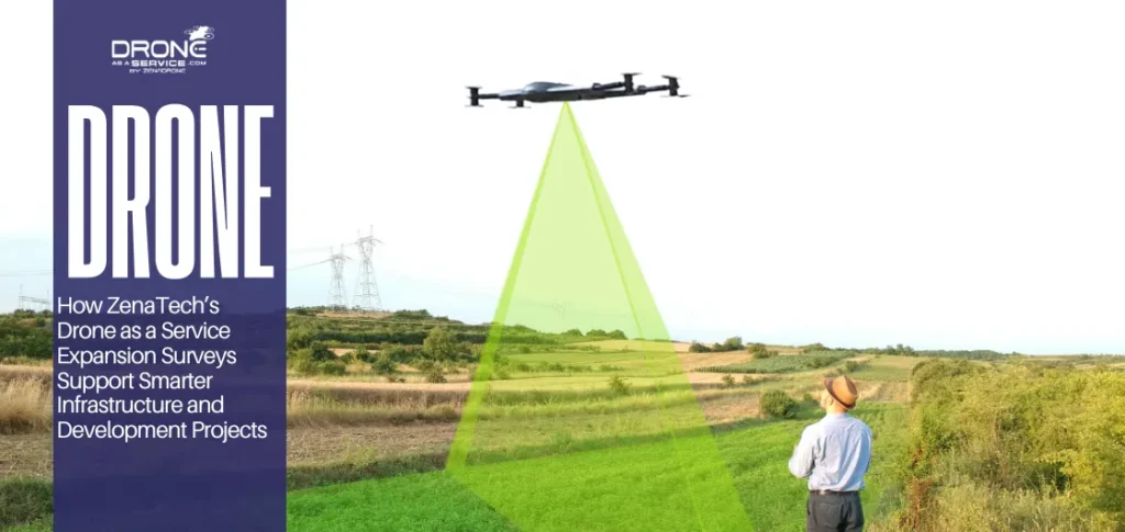
Drone aerial photography refers to capturing photos or videos from elevated positions using unmanned aerial vehicles (UAVs) equipped with high-quality cameras and stabilization systems. Unlike traditional aerial photography, which relies on aircraft or helicopters, drones allow photographers to fly at lower altitudes and achieve greater control over angles, composition, and movement.
Drone Aerial Photography vs Traditional Aerial Photography
Drone aerial photography offers greater flexibility, lower costs, and enhanced safety. Traditional methods require pilots, fuel, and extensive planning, making them expensive and less flexible. Drone-based photography, on the other hand, offers:
Feature | Drone Aerial Photography | Traditional Aerial Photography |
Platform | Unmanned aerial vehicles (drones) | Manned aircraft or helicopters |
Operational Cost | Lower costs due to minimal equipment and crew | High costs involving pilots, fuel, and aircraft maintenance |
Setup Time | Quick deployment with minimal planning | Requires extensive planning and logistics |
Safety | Safer access to hazardous or hard-to-reach locations | Higher risk due to manned flights |
Flight Precision | Can hover, reposition, and adjust angles precisely | Limited maneuverability and no hovering |
Altitude Control | Ideal for low-altitude and close-range shots | Best suited for high-altitude imagery |
Flexibility | Highly flexible for creative and commercial projects | Less flexible due to aircraft limitations |
Use Cases | Real estate, construction, inspections, marketing | Large-scale mapping and wide-area surveys |
Because of these advantages, drones have become the standard platform for modern aerial photography.
Evolution of Drone Aerial Photography
The evolution of aerial photography began with balloons and aircraft, but the introduction of drones marked a turning point. Early drone systems were limited in camera quality and stability, but modern drones now feature:
- High-resolution sensors
- Advanced gimbal stabilization
- GPS-based flight controls
- Intelligent automation features
As a result, drone aerial photography has shifted from experimental use to a mainstream professional solution, widely adopted by businesses and government organizations.
If you are interested to know about history and evolution of aerial photography, you must read this blog: How Drones Made Significant Impacts in Aerial Photography?
Drone Aerial Photography Techniques & Best Practices
Professional-quality drone aerial photography depends on both equipment and technique.
Key Techniques Used by Professionals
- Shoot in RAW format for greater editing flexibility
- Use rule of thirds and grid overlays for balanced composition
- Capture images during golden hour for softer lighting
- Adjust altitude and camera tilt to match the subject
- Plan flights in advance to maintain consistency and safety
Environmental & Safety Considerations
- Monitor wind speed and weather conditions
- Avoid restricted or congested airspace
- Maintain visual line of sight
- Follow FAA or local drone regulations
These best practices help ensure consistent image quality and compliance with safety standards.
Benefits of Drone Aerial Photography
Drone aerial photography offers several advantages over traditional methods:
- Cost-Effective: Ideal for real estate listings, construction monitoring, and marketing campaigns
- Enhanced Safety: Reduces the need for manual inspections at heights
- High Accuracy: Useful for mapping, site documentation, and progress tracking
- Creative Flexibility: Enables unique angles and cinematic visuals
- Fast Turnaround: Images and videos can be captured and delivered quickly
These benefits make drone aerial photography a valuable tool for both creative and commercial projects.
Read also: Transforming Industries with Smart Aerial Services
Applications of Drone Aerial Photography
Real Estate Drone Aerial Photography
Real estate professionals use drone imagery to showcase properties, surrounding landscapes, and neighborhood context. Aerial visuals help listings stand out and improve buyer engagement.
Construction Drone Aerial Photography
Construction companies rely on drones for site monitoring, inspections, progress documentation, and stakeholder reporting. Regular aerial updates improve project transparency and planning.
Marketing & Media
Brands use drone aerial photography for promotional videos, advertisements, social media campaigns, and storytelling that captures attention from unique perspectives, including industries like golf course aerial imaging services where visual presentation plays a key role in attracting players and visitors.
Surveying, Mapping & Inspection
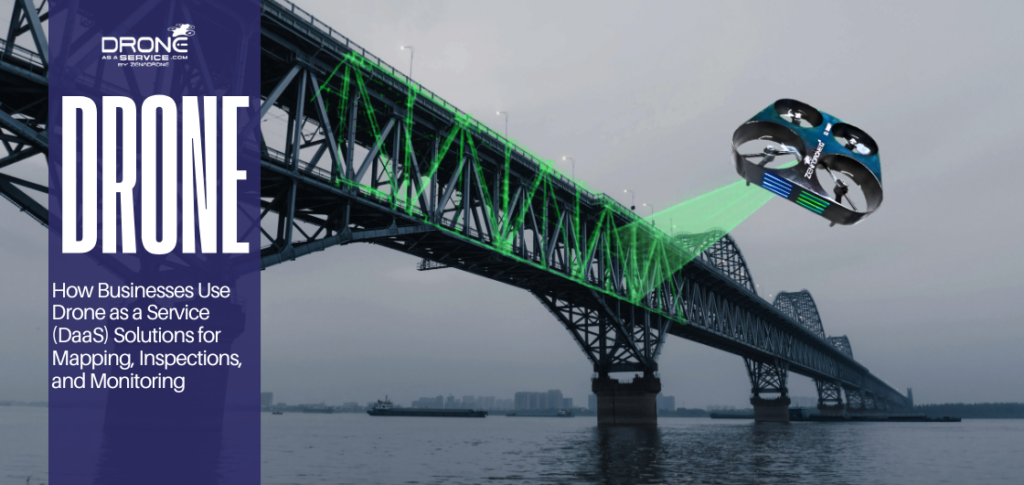
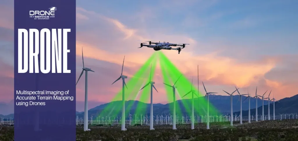
Drone imagery supports accurate land surveys, infrastructure inspections, and environmental assessments without disrupting operations.
Drone Aerial Photography Services in the United States
Many businesses prefer hiring professional drone aerial photography services rather than operating drones internally. Professional services typically include:
- Certified drone pilots
- Commercial-grade equipment
- Flight planning and risk assessment
- Post-processing and editing
- Compliance with aviation regulations
Equipment Used in Professional Drone Aerial Photography
Professional drone aerial photography relies on:
- High-resolution drones with stabilized gimbals
- Advanced camera sensors
- Image processing and mapping software
- Secure data handling and storage systems
These tools ensure accuracy, clarity, and consistency across projects.
Future Trends in Drone Aerial Photography
The future of drone aerial photography includes:
- AI-powered image processing
- Automated flight paths and inspections
- Higher-resolution sensors
- Greater integration with mapping and analytics platforms
As technology advances, drones will continue to play a critical role in aerial imaging and data collection.
Why Choose Drone as a Service (DaaS) for Drone Aerial Photography?
At Drone as a Service (DaaS), we provide professional drone aerial photography solutions designed for real-world business needs.
Why DaaS:
- Experienced, certified drone pilots
- Commercial-grade drones and imaging systems
- Expertise in real estate and construction photography
- Fast turnaround and reliable delivery
- Cost-effective solutions without operational complexity
FAQ Section
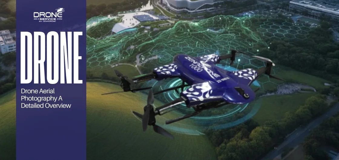
What is the best drone for aerial photography in 2026?
The DaaS’s ZenaDrone 1000 is the undisputed champion for pros. Unbeatable AI stability. Jaw-dropping 8K detail. Exceptional flight time. This is the new benchmark.
How much does a commercial drone photography company cost?
The cost for aerial drone photography really depends on your location and the project’s scale. You can generally expect most sessions to run between $200 and $1,000. It’s worth every bit since you’re getting fast results, stunning quality, and visuals that make a real impact.
Is drone photography legal for businesses?
Yes, it is legal when done correctly. Here’s a good rule to follow: if you’re hiring a drone pilot for business, just check for that FAA license. These pros know how to navigate local flight rules, respect privacy laws, and prioritize safety, so you don’t have to worry about anything.
What industries benefit most from drones?
Many sectors now rely on drone photography. Real estate, construction, tourism, agriculture, and marketing all use it to gain better perspectives, save time, and enhance storytelling. Each industry finds its own unique edge through aerial innovation.
What’s next for commercial drone imaging?
The future is all about smarter, more independent systems. With technologies, expect greater automation, sharper analytics, and fully autonomous performance that turns data into real business intelligence. Now that we’ve answered the most common questions, let’s wrap up with a look at how drone aerial photography can elevate your brand.