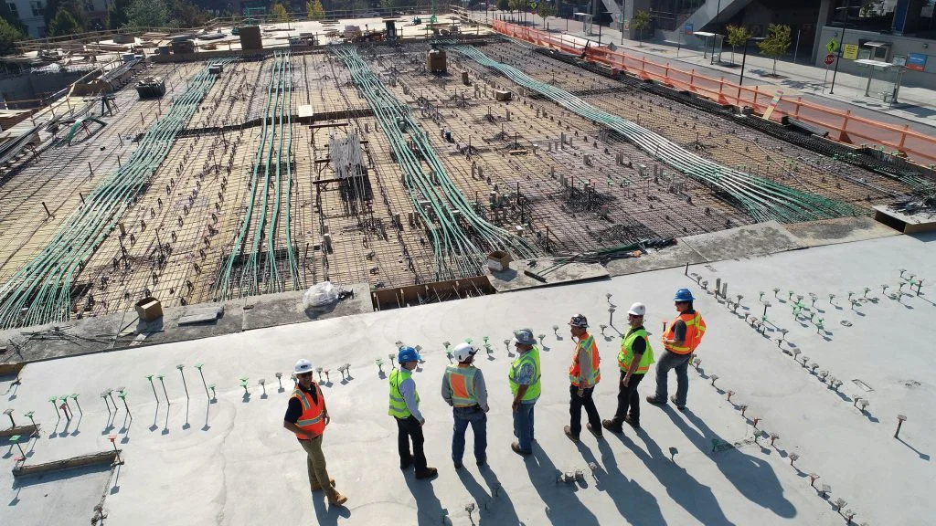
Monitor construction progress and build-quality with comprehensive visual data and reports.
BUILD WITH CONFIDENCE
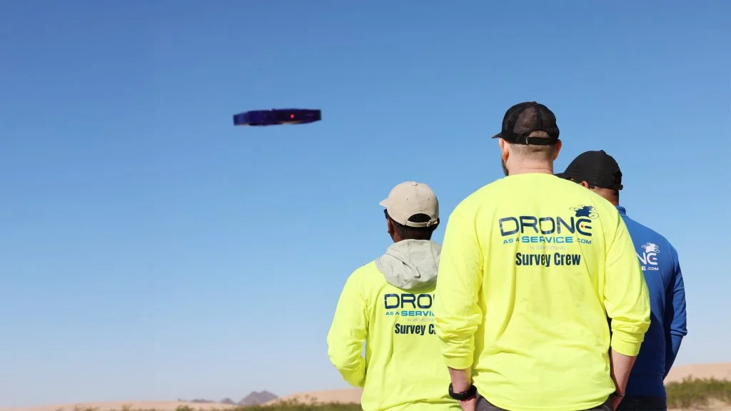
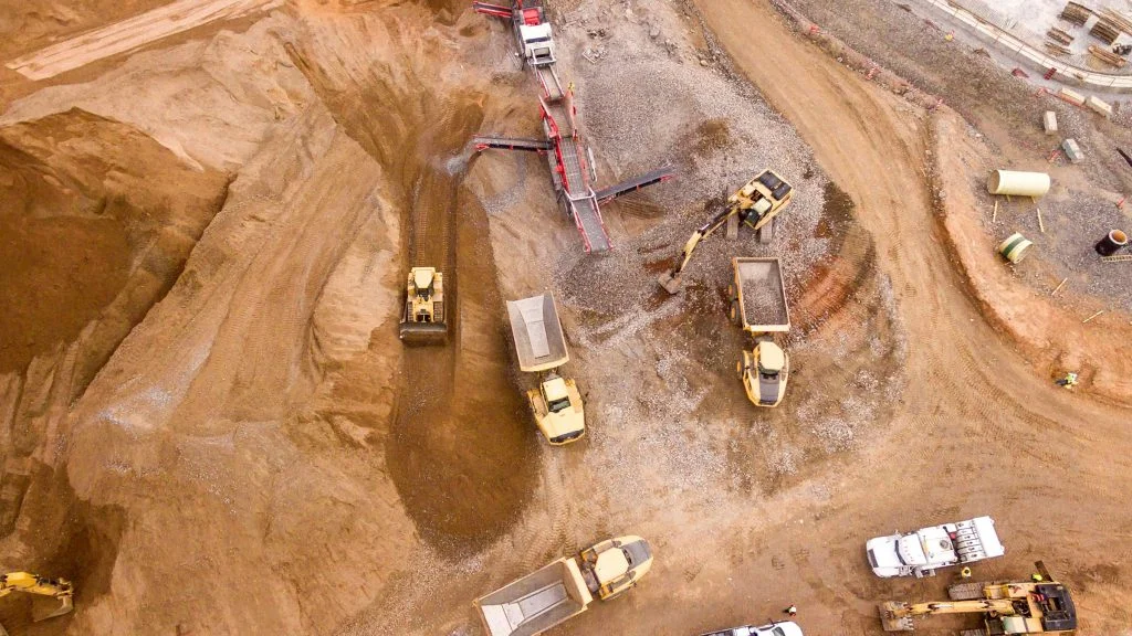
Drone intelligence enables construction projects to capture the full scope of build progress, work quality, inventory, site operations, safety compliance, and more. The precision, ease, and cost-effectiveness of drone data make it the leading solution for tracking progress on any construction site.
VERSATILE TECHNOLOGY
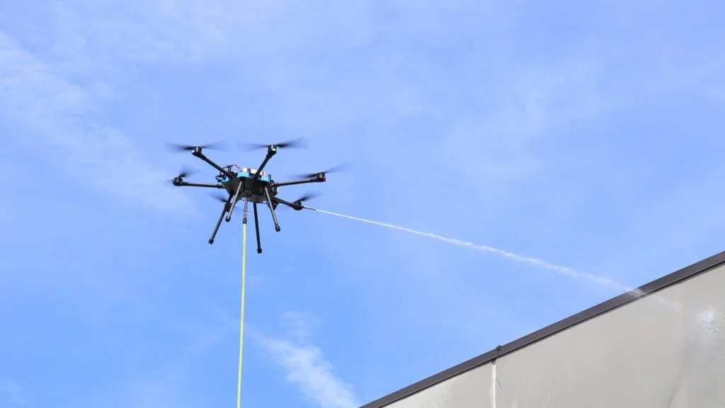
Our drone technology includes 4K cameras, Light Detection and Ranging (LiDAR), multispectral sensors, and thermal and radar scanners. This technology provides construction clients with access to a rich dataset.
High-resolution video
For real-time monitoring of all site operations, and recurring recording of construction progress
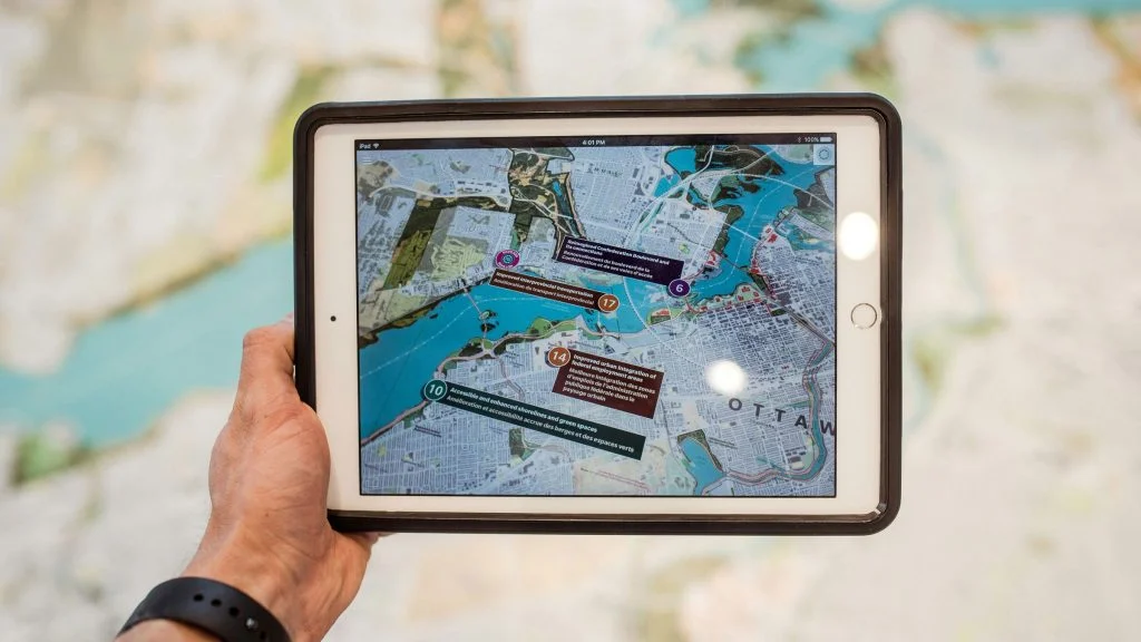
Orthomosaic maps
An ultra-precise, composite, orthorectified, photographic image of the site, which can be imbedded with key geospatial information
BIM models
A 3D, digital representation of a building or feature, containing comprehensive information about its properties and components
Terrain and Elevation Models
Track site grading, drainage, volumetrics, and other terrain and elevation aspects
Multispectral Terrain Maps
For deep insights into environmental compliance
Thermal scans
Identify heat-related issues with construction work and building features
Radar scanning
To assess subsurface features and issues in concrete and asphalt
OTHER BENEFITS OF DRONE USE
Drone technology offers measurable improvements across key construction areas compared to traditional methods:
Faster intelligence with fewer resources.
Drone site mapping can be completed in a fraction of the time by a single pilot compared to on-the-ground teams.
Lower inspection cost.
Increased savings allow for more frequent data collection if projects require.
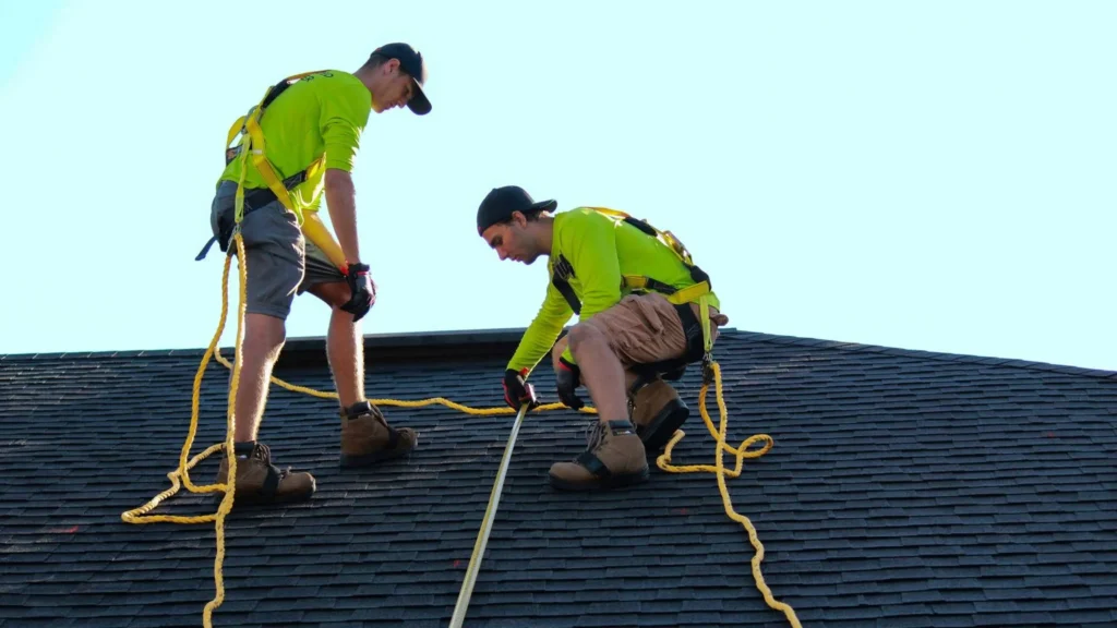
Reduced on-site risk.
Drones eliminate the need for workers to climb ladders, scaffolding, or lifts, or to access areas with other potential hazards.
Stronger documentation for stakeholders.
Drone images and data provide strong visuals for presentations, and are useful for audits, draw approvals, and invoice reviews.
END-TO-END DATA MANAGEMENT SERVICES
Drone as a Service provides expert, end-to-end data management services to help clients quickly process and analyze our drone intelligence. You typically receive scan results within 24-48 hours. All missions are flown by licensed drone pilots, using FAA-registered drones.