REAL ESTATE MARKETING
Create stunning photo and video packages for residential, commercial, and industrial real estate sales.
AN ENHANCED APPROACH
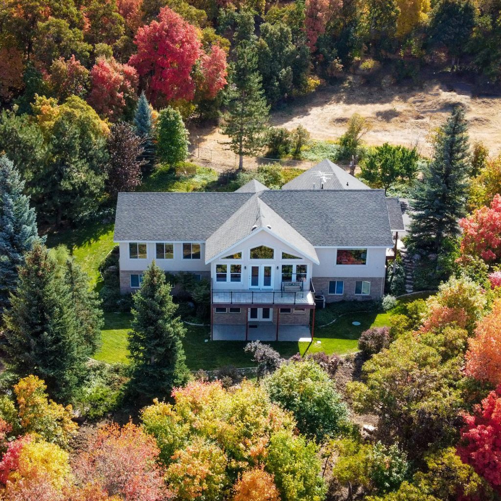
Big-ticket sales require the very latest marketing tools. Prospective real estate buyers want comprehensive insight on properties for sale, whether residential or commercial, finished or in-development. Aerial photography and videography can create thousand-word imagery for every marketing package.
CREATING IDEAL PRESENTATIONS
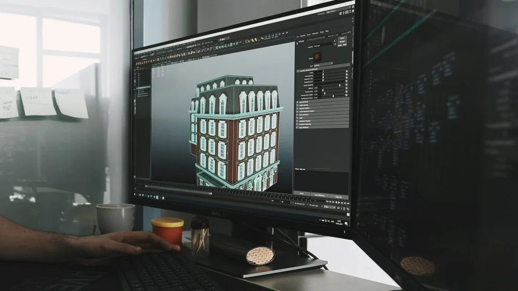
Our drone services enable realtors to showcase properties in an exceptional light. Our 4K cameras capture high-resolution photo and video images from any vantage point, and aerial images can be enhanced with boundary overlays, lot dimensions, and other markers and text. Drones can also be used to create neighborhood tours or progress presentations for new builds. Impressive drone imagery of previous sales on realtor websites can even attract new clients!
CONVENIENT AND COST-EFFECTIVE
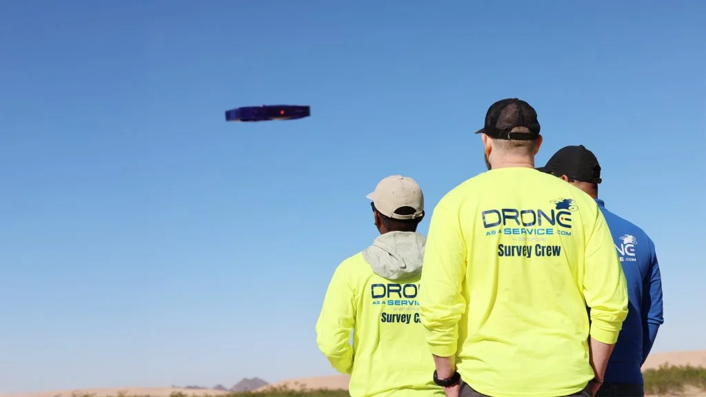
With Drone as a Service, realtors avoid the capital costs of drone ownership and the inconvenience of hiring pilots and maintaining regulatory approvals. We ensure that all projects have the required approvals, and every mission is flown by a licensed drone pilot, using an FAA-registered drone.
Our pay-per-use and subscription models allow realtors to create drone imagery as frequently as they need, hassle-free. And our data services team is always on hand to assist in managing aerial footage.
OUR DRONE SERVICES
Our next-generation solutions simplify complex projects, increase efficiency, improve safety, and deliver best-in-class data.
Fast, precision surveys for boundary mapping and land development.
Critical intelligence for emergency services, disaster response, search and rescue, and other agencies.
Safe, efficient cleaning of building facades, infrastructure, and residential roofs and gutters.
Get stunning videos and photos to market residential, commercial, and industrial real estate projects.
Utilize drone insights to monitor operations and generate electrifying performance.
Crop health monitoring, yield estimation, and farm management through aerial analytics.
Aerial mapping, imagery, and data to support infrastructure design and urban development.
Track construction operations with aerial monitoring and progress reports.
Fast, detailed inspections of roofs for damage assessment and maintenance planning.
Precision depth scanning to detect structural defects and subsurface anomalies.
Monitor operations, assess stockpiles, and improve site safety with aerial analysis.
Detailed imaging of solar panel, wind turbine, and hydroelectric site condition and performance.
Improve inventory tracking, operational flow, and security in warehouse environments.
Non-invasive aerial mapping to discover and document archeological sites in unmatched detail.
Precision 3D modeling of structures and landscapes for insightful analysis and visualization.
Multi-band imaging for vegetation analysis, land classification, and environmental studies.
Generate ultra-precise 3D terrain models for engineering and planning use.
Smarter solutions for monitoring and expansion planning for oil and gas operations.
Monitor towers, antennas, cables and other infrastructure to plan expansion and repairs.
Drone technology is setting a new standard in golf course and racecourse design and management.
REQUEST A QUOTE
Please tell us about your project and we’ll get right back to you.