ROOF INSPECTIONS
State-of-the-art roof inspection data for residential, commercial, and industrial properties.
DETAILED AND SAFE ASSESSMENTS
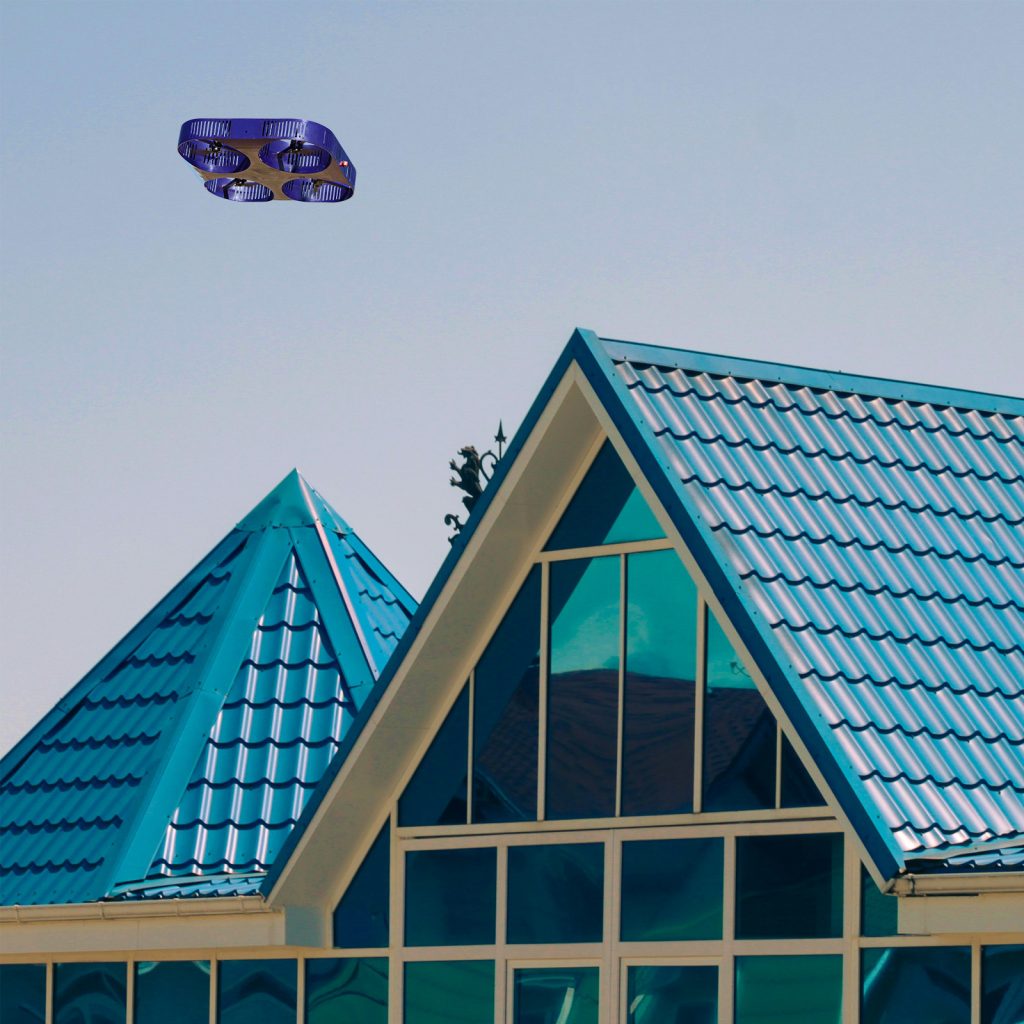
Drone technology has become the leading solution for acquiring precise data about the condition of rooftops for every kind of property. While stakeholders remain safely on the ground, drones can capture high-resolution, centimetre-level video, photographs, and thermal images to assess wear, damage, and structural integrity.
NEXT-GENERATION TECHNOLOGY
Our AI-powered drones are equipped with 4K cameras, thermal scanners, and multispectral sensors capable of seeing beyond visible light, enabling us to provide a deep analysis of the condition of your roof. We can detect:
Missing shingles and eroded areas
Hail impacts
Pooling water and water infiltration
Air exfiltration
Insulation voids
Other structural or thermal anomalies
PREDICT, PLAN, AND IMPROVE REPAIRS
Whether you’re a home, commercial property, or industrial owner, roof repairs are an expense you want to avoid—or at least minimise. Drone technology enables you to detect minor issues—and plan and execute repairs—before they become major problems. Drones can also quickly and easily assess the effectiveness of repairs, so you can rest assured that your roof is structurally sound.
CERTIFIED PILOTS & END-TO-END DATA SERVICES
Drone as a Service provides IAA-certified pilots, registered drones, and all regulatory approvals for roof inspections. We typically provide inspection data within 48-72 hours, and we offer our clients end-to-end data management services to help them process and interpret the inspection results.
OUR DRONE SERVICES
Our next-generation solutions simplify complex projects, increase efficiency, improve safety, and deliver best-in-class data.
Crop health monitoring, yield estimation, and farm management through aerial analytics.
Track construction operations with aerial monitoring and progress reports.
Drone technology is setting a new standard in golf course and racecourse design and management.
Improve inventory tracking, operational flow, and security in warehouse environments.
Fast, precision surveys for boundary mapping and land development.
Fast, detailed inspections of roofs for damage assessment and maintenance planning.
Utilise drone capabilities to improve claims processing, risk assessment and underwriting, fraud prevention, and property monitoring.
Detailed imaging of solar panel, wind turbine, and hydroelectric site condition and performance.
Utilize drone insights to monitor operations and generate results.
Aerial mapping, imagery, and data to support infrastructure design and urban development.
Critical intelligence for emergency services, disaster response, search and rescue, and other agencies.
Precision depth scanning to detect structural defects and subsurface anomalies.
Monitor operations, assess stockpiles, and improve site safety with aerial analysis.
Non-invasive aerial mapping to discover and document archaeological sites in unmatched detail.
Precision 3D modeling of structures and landscapes for insightful analysis and visualization.
Multi-band imaging for vegetation analysis, land classification, and environmental studies.
Generate ultra-precise 3D terrain models for engineering and planning use.
Safe, efficient cleaning of building facades, infrastructure, and residential roofs and gutters.
Get stunning videos and photos to market residential, commercial, and industrial real estate projects.
Smarter solutions for monitoring and expansion planning for oil and gas operations.
Monitor towers, antennas, cables and other infrastructure to plan expansion and repairs.
REQUEST A QUOTE
Please tell us about your project and we’ll get right back to you.