
Drone services cost Ireland depends on equipment choice, regulatory approvals, and the complexity of data processing.
Commercial projects often require high-resolution imagery for marketing, reporting, or project tracking purposes.
Industrial services rely on advanced sensors like LiDAR or thermal imaging to capture precise technical data and actionable insights.
Introduction
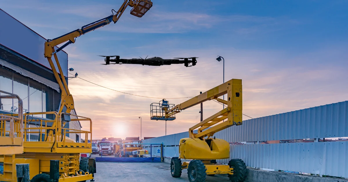
Aerial data collection has become an essential resource for businesses across Ireland, supporting planning and operational decisions. Engineers, asset managers, and construction teams increasingly rely on professional drone services Ireland to monitor projects efficiently.
Estimating drone services cost Ireland can be challenging, as each project varies in technical requirements and regulatory considerations. For example, a simple aerial photo shoot requires far less planning than a detailed engineering survey. Costs also vary depending on the sensors used, data processing requirements, and compliance with Irish Aviation Authority regulations.
This guide establishes a clear framework for value-based pricing by analyzing common cost drivers and long-term return on investment. This guide explains common pricing models, the main cost drivers, and how businesses can assess service value before committing to a provider. Understanding these financial pillars will help your company deliver reliable and actionable aerial insights while staying within project budget.
Why Understanding Drone Service Costs Matters
Hiring external drone operators without clear budgeting can lead to unexpected project costs. Comparing UAV cost vs value shows that aerial surveys often reduce labour hours and enhance safety compared to traditional inspection methods. Efficient drone surveys significantly cut on-site time, lowering labour expenses and minimizing operational disruption.
Choosing inexperienced operators can create compliance issues and increase the risk of inaccurate data. Every modern Irish company needs to have a clear budget from the start because unclear project scopes or bad provider choices can lead to expensive rework. By putting technical skills ahead of the lowest bid, businesses get high-quality work that makes their operations more efficient and keeps their sites safe in the long run.
Common Drone Service Pricing Models in Ireland
In Ireland, simple projects like property photography are usually priced per flight, while larger operations follow commercial drone service rates for half-day or full-day site attendance. Day-rate pricing helps businesses forecast costs when multiple flights are needed during a single visit, ideal for construction developers.
Drone mapping cost Ireland depends on the survey area and complexity of data outputs, ensuring accurate 3D models or orthomosaic maps. For larger engineering surveys, many providers adopt UAV survey pricing models to reflect project scope and deliverable requirements. Recurring monthly progress report is a common contract type in subscription-based programs that offers a wide range of discounts compared to ad-hoc project booking.
This model fits best for asset managers who need high-accuracy digital twins and consistency for their maintenance. Long-term contracts will provide priority scheduling and a uniform data format in all regional Irish assets and projects. Choosing a day rate allows for flexibility in the field, especially when dealing with unpredictable Irish weather or evolving site conditions.
Key Factors That Influence Drone Service Costs

- •Project size and complexity: Larger sites need more flight time, batteries, and planning, which raises drone services cost Ireland.
- •Site environment: Quarries, urban centres, and ports require slower flights and careful safety checks, increasing operational effort.
- •Sensor type: Advanced sensors like LiDAR or thermal cameras cost more than standard visual cameras due to calibration and data volume.
- •Regulations: Flights near airports or restricted areas require permits and higher insurance coverage, adding to the prep time.
- •Data deliverables: Detailed 3D models or volumetric reports demand extra processing time, adding to the total cost.
The type of sensor and the data that needs to be delivered are the main factors that affect the prices of professional drone services Ireland. Advanced sensors are more accurate, but they cost a lot more to maintain and require the pilot to have specific training.
Commercial vs Industrial Drone Service Costs
Commercial drone services often provide visual content for marketing or site updates. These missions are more affordable as they require standard HD cameras and minimal post-processing. Progress photos and videos give stakeholders a clear view of development without complex technical analysis. These services suit public relations and project tracking where precision is helpful but not critical.
Industrial drone inspection costs are higher due to precise surveying, structural assessments, and specialist expertise. While the upfront cost is greater, the resulting technical reports provide long-term value for decision-makers. Processes like thermal mapping or volumetric analysis rely on advanced sensors and software, enabling engineers to reduce maintenance expenses and downtime. These reports often integrate directly into existing CAD or BIM workflows, streamlining asset management.
Hidden & Overlooked Cost Considerations
Converting raw aerial data into actionable engineering models takes considerable time, often overlooked in project budgets. Dealing with complex datasets can add days of analysis on top of flight operations, increasing labor costs. Insurance, compliance, and potential flight repetitions due to weather or planning errors also raise drone services cost Ireland.
Ignoring Irish weather delays may also result in standby fees in case pilots are in the field. Ineffective planning may require flight repetitions, which can increase the overall drone services cost Ireland. Another significant cost that providers have to transfer to their business clients is insurance and compliance charges. Each mission requires aviation liability coverage to safeguard against losses in the event of an in-flight accident. Specialized permits for flying in urban Dublin or restricted industrial zones also carry administrative costs.
Cost vs Value: Understanding ROI from Drone Services
Choosing ROI-focused drone services ensures early detection of structural issues, minimizing costly repairs and downtime. Faster aerial data collection reduces manual labour and keeps projects on schedule, improving overall efficiency. High-quality drone outputs create digital twins that serve as long-term records for informed decision-making.
The speed of aerial data collection reduces site downtime, ensuring that large-scale infrastructure projects remain on strict deadlines. Using drones significantly cuts manual labour costs by removing the need for scaffolding or manual climbing on high structures. This transition enhances site safety and provides engineers with precise data for faster, more accurate decision-making. A low-cost provider might save money, but will usually provide low-quality data that cannot be applied effectively. High-quality drone data provides a digital twin that serves as a legal record throughout the project’s lifespan. Low-priced services are not always technically accurate for complex engineering projects or long-term asset management plans. Actionable insights are the true value that makes your Irish business operation much safer and efficient.
Choosing a Cost-Effective Drone Services Provider
Selecting the right drone services provider ensures regulatory compliance, certified operations, and sector expertise. Transparent pricing and clearly defined deliverables indicate reliability and quality. Prioritizing long-term value over short-term savings delivers consistent project outcomes across Irish sites. Expert pilots are knowledgeable about the safety measures that are necessary on complex Irish construction sites and industrial settings. Their expertise in the sector is vetted, which guarantees them high accuracy when interpreting the technical data recorded during the flight. Reviewing a provider’s portfolio and case studies helps verify their capability to handle your specific project requirements.
Real-World Cost Scenarios in Ireland
A Dublin construction firm typically pays around €600 per weekly flight for site imagery and maps. This investment gives managers a clear visual record of progress, helping identify bottlenecks before they escalate. A Galway wind farm operator may spend several thousand euros for thermal inspections, reducing the risk of costly equipment failures. This increased initial drone services cost in Ireland incorporates thermal sensors that identify early signs of mechanical structural fatigue.
Although the initial cost is high, it will substantially reduce the risk of a disastrous, expensive equipment malfunction. During detailed engineering reports, it is possible to perform targeted maintenance to extend the lifespan of costly renewable energy assets. Mismatched expectations usually arise when clients fail to provide the accuracy they want in their final technical survey reports. Lessons learned indicate that precise specification of the visual end product, like orthomosaic maps, is the key to avoiding costly re-flights and project delays. High-quality maps and data reports provide a vital foundation for all current development and infrastructure projects in Ireland. Assigning a common data format that all members of the organization use can save time and reduce internal data management costs.
Best Practices for Managing Drone Service Costs

Clearly defining the project scope before requesting quotes prevents scope creep and ensures all providers bid on identical requirements. Establish a consistent schedule for repeat surveys to take advantage of bulk pricing discounts and simplified pilot logistics. Matching the specific service type to your project goals ensures you do not pay for unnecessary high-end technical data. This strategic alignment helps maintain a lean budget while still securing the essential insights needed for your business. Effective planning enables your company to harness the use of professional drone services in Ireland without experiencing unnecessary costs and time delays in operations. Using these structured steps helps ensure every aerial mission delivers strong operational value.
- •Specify Accuracy: Inform your provider if you need survey-grade precision or just general visual overviews for marketing.
- •Check Credentials: Always look for proof of a valid IAA operator ID and specific insurance for commercial drone activities.
- •Plan Logistically: Grouping multiple nearby sites into a single day of flying can significantly reduce the total travel cost.
- •Standardize Outputs: Using consistent file formats across all projects reduces the time and cost of internal data integration.
FAQs
Conclusion & Business Takeaway
Understanding drone services cost Ireland enables businesses to budget aerial surveys confidently. Key cost drivers include sensor selection, site complexity, regulatory compliance, and data processing requirements. Prioritizing provider expertise and data quality over the lowest price ensures reliable, actionable results and long-term operational value.
When you set aside money for expert drone services in Ireland, you can be sure that all of your flights will be accurate and helpful, with site data. Your firm can employ drones to make things safer and more efficient if you follow the finest standards. Effective budgeting for aerial technology ultimately turns drone data from a simple cost into a strategic business asset.
Ready to Optimize Your Project Costs?
Get a transparent, fixed-price quote for your next aerial survey. Stop guessing and start scaling with data-driven drone solutions tailored for your budget.