OIL AND GAS
Smarter solutions for monitoring, repairs, and expansion planning for oil and gas operations.
LEADING-EDGE INSPECTIONS
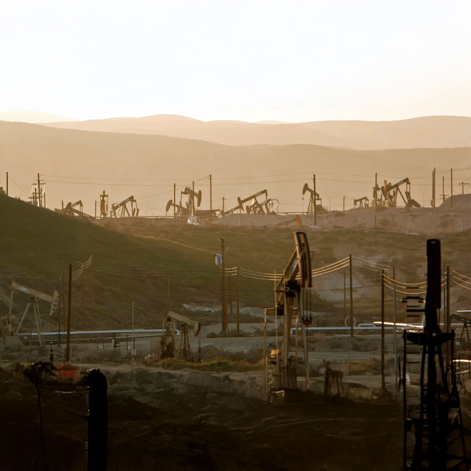
With Drone as a Service, oil and gas operations can inspect and monitor vast networks of pipelines, tanks, and drilling sites efficiently and safely. Our AI-powered drones feature 4K cameras, LiDAR, multispectral sensors, and radar and thermal scanners to capture comprehensive data regarding the condition and performance of your operational assets, enabling you to optimise performance and plan expansion and repairs.
VERSATILE TECHNOLOGY
Our drone data can identify issues—both visible and beyond the range of visible light—in even the most difficult-to-reach or hazardous places. Inspections can reveal corrosion, leaks, defects, damage, and more. Our data enables you to create a comprehensive analysis of operational performance via high-resolution video and photography, multispectral maps, terrain and elevation models, and 3D object models.
CREATING BETTER OUTCOMES
Our next-generation drone data enables oil and gas operations to:
Conduct routine inspections of pipelines, derricks, and platforms
Detect leaks and high-elevation infrastructure corrosion faster than traditional methods
Perform ultrasonic testing (UT) inspections of oil tanks to measure wall thickness and detect internal flaws
Conduct real-time monitoring of field operations, repairs, construction progress, safety compliance, and security
Monitor environmental compliance
Respond rapidly to emergencies
SAFER, MORE EFFICIENT, AND COST-EFFECTIVE
Drones eliminate the traditional job hazards faced by oil and gas workers, including accessing remote or rugged terrain, entering hazardous areas, and scaling tall structures. Drones can inspect vast networks much faster than ground-based teams, reducing project schedules and monitoring and maintenance costs.
SUITED TO CLIENT NEEDS
Avoid the costs of drone ownership and the inconvenience of hiring pilots and maintaining regulatory approvals. We ensure that all projects have the required approvals, and every mission is flown by an IAA-certified drone pilot, using a registered drone. Our pay-per-use and subscription models provide flexibility to clients, and we offer end-to end data management services.
OUR DRONE SERVICES
Our next-generation solutions simplify complex projects, increase efficiency, improve safety, and deliver best-in-class data.
Crop health monitoring, yield estimation, and farm management through aerial analytics.
Track construction operations with aerial monitoring and progress reports.
Drone technology is setting a new standard in golf course and racecourse design and management.
Improve inventory tracking, operational flow, and security in warehouse environments.
Fast, precision surveys for boundary mapping and land development.
Fast, detailed inspections of roofs for damage assessment and maintenance planning.
Utilise drone capabilities to improve claims processing, risk assessment and underwriting, fraud prevention, and property monitoring.
Detailed imaging of solar panel, wind turbine, and hydroelectric site condition and performance.
Utilize drone insights to monitor operations and generate results.
Aerial mapping, imagery, and data to support infrastructure design and urban development.
Critical intelligence for emergency services, disaster response, search and rescue, and other agencies.
Precision depth scanning to detect structural defects and subsurface anomalies.
Monitor operations, assess stockpiles, and improve site safety with aerial analysis.
Non-invasive aerial mapping to discover and document archaeological sites in unmatched detail.
Precision 3D modeling of structures and landscapes for insightful analysis and visualization.
Multi-band imaging for vegetation analysis, land classification, and environmental studies.
Generate ultra-precise 3D terrain models for engineering and planning use.
Safe, efficient cleaning of building facades, infrastructure, and residential roofs and gutters.
Get stunning videos and photos to market residential, commercial, and industrial real estate projects.
Smarter solutions for monitoring and expansion planning for oil and gas operations.
Monitor towers, antennas, cables and other infrastructure to plan expansion and repairs.
REQUEST A QUOTE
Please tell us about your project and we’ll get right back to you.