MINING, QUARRIES, AND AGGREGATES
Survey sites, streamline operations, measure stockpiles accurately, and improve safety for mining and quarry projects.
OPTIMISE PRODUCTION WITHOUT ADDITIONAL INVESTMENT
Drone technology provides a rich dataset that can optimise every aspect of mining operations. 4K cameras, LiDAR, multispectral sensors, and thermal scanners capture high-resolution video, orthomosaic images, and data for volumetric calculations and terrain and elevation maps that reduce operational costs by up to 25%.
HOW DRONES IMPROVE MINING OPERATIONS
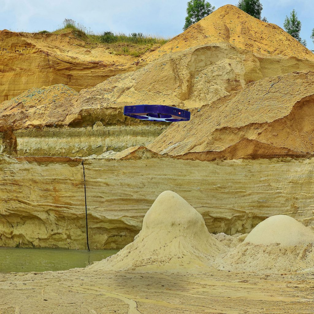
Our AI-powered drones can be used for:
Comprehensive Surveys
Quickly capture rich topographic data for boundary and construction staking, progression surveys, slope analysis, tailings dam monitoring, and more.
Accurate Volumetrics
Obtain precise measurements of stockpiles and create 3D models to analyse excavation and backfill planning.
Enhanced Safety
Conduct surveys without endangering workers while identifying all hazards, including those beyond visible sight.
Environmental Compliance
Track environmental conditions and initiatives to meet regulatory requirements and prepare presentations for stakeholders.
Improved Blasting
Use 3D models to improve blast efficiency by up to 30% and provide situational awareness for blasting teams.
Exploration & Development
Survey exploration sites quickly and safely to assess project viability and plan development.
OTHER BENEFITS OF DRONE TECHNOLOGY
Drones provide mining teams with crucial situational awareness, enhancing safety across operations. Detailed drone intelligence enables mining operations to track environmental factors and provide agencies and communities with verifiable evidence of compliance with regulatory requirements—transforming reporting from a burden to a showcase of responsible operations.
THE DRONE AS A SERVICE ADVANTAGE
With Drone as a Service, you avoid the capital costs of drone ownership, and the inconvenience of obtaining regulatory approvals. All missions are flown by IAA-certified pilots, using registered drones. Clients typically receive data-collection results within 48-72 hours, and our end-to-end data management services can help process, analyse, and store the aerial intelligence.
OUR DRONE SERVICES
Our next-generation solutions simplify complex projects, increase efficiency, improve safety, and deliver best-in-class data.
Crop health monitoring, yield estimation, and farm management through aerial analytics.
Track construction operations with aerial monitoring and progress reports.
Drone technology is setting a new standard in golf course and racecourse design and management.
Improve inventory tracking, operational flow, and security in warehouse environments.
Fast, precision surveys for boundary mapping and land development.
Fast, detailed inspections of roofs for damage assessment and maintenance planning.
Utilise drone capabilities to improve claims processing, risk assessment and underwriting, fraud prevention, and property monitoring.
Detailed imaging of solar panel, wind turbine, and hydroelectric site condition and performance.
Utilize drone insights to monitor operations and generate results.
Aerial mapping, imagery, and data to support infrastructure design and urban development.
Critical intelligence for emergency services, disaster response, search and rescue, and other agencies.
Precision depth scanning to detect structural defects and subsurface anomalies.
Monitor operations, assess stockpiles, and improve site safety with aerial analysis.
Non-invasive aerial mapping to discover and document archaeological sites in unmatched detail.
Precision 3D modeling of structures and landscapes for insightful analysis and visualization.
Multi-band imaging for vegetation analysis, land classification, and environmental studies.
Generate ultra-precise 3D terrain models for engineering and planning use.
Safe, efficient cleaning of building facades, infrastructure, and residential roofs and gutters.
Get stunning videos and photos to market residential, commercial, and industrial real estate projects.
Smarter solutions for monitoring and expansion planning for oil and gas operations.
Monitor towers, antennas, cables and other infrastructure to plan expansion and repairs.
REQUEST A QUOTE
Please tell us about your project and we’ll get right back to you.