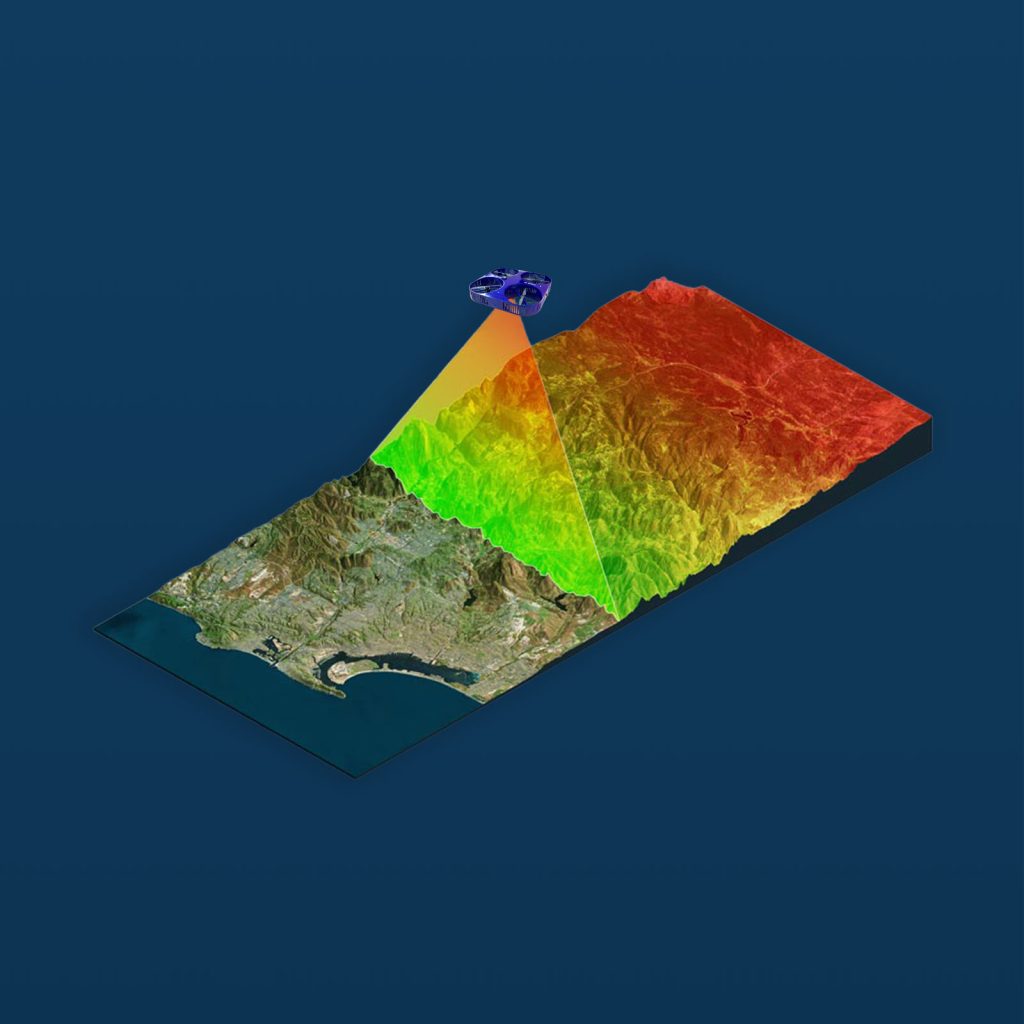
3D drone scanning is the process of utilising drones equipped with specialised sensors to capture a physical environment and create extremely accurate 3D digital models. While 3D scanning can penetrate vegetation such as tree canopies to create models of exterior features, it cannot penetrate solid objects like rock and buildings.
VISUALISE YOUR EXACT NEEDS
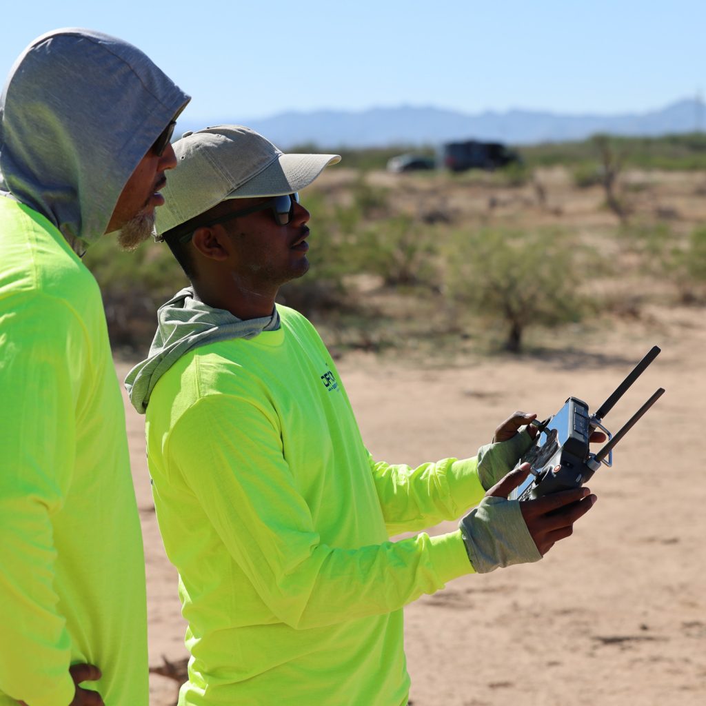
Our drone fleet utilises LiDAR technology, thermal imaging, multispectral sensors, and 4K cameras to capture comprehensive, centimetre-level data that enables clients to render 3D models and maps, as well as 2D orthomosaics and CAD drawings. Visualise topography, volumetrics, buildings, infrastructure, and objects, as well as indoor or subterranean spaces with our smaller drones.
REAL-TIME UPDATES
With drone 3D scanning, you can track project progress, compare design to as-built status, measure volumetric changes, identify issues, and more. Our end-to-end data management services enable clients to optimise the scanning intelligence they receive, to improve project outcomes.
ACCESSIBLE AND COST-EFFECTIVE
Drone technology can easily access environments that may be hazardous or hard to reach for humans. Drone scans are also quicker to deploy and more cost-effective than crewed aircraft, satellite services, or other traditional scanning methods.